


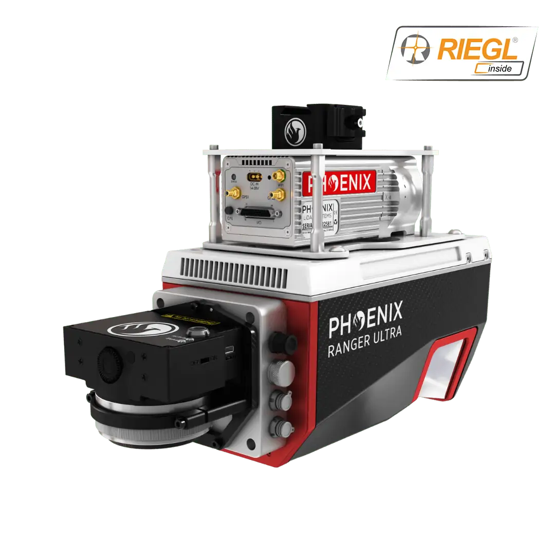
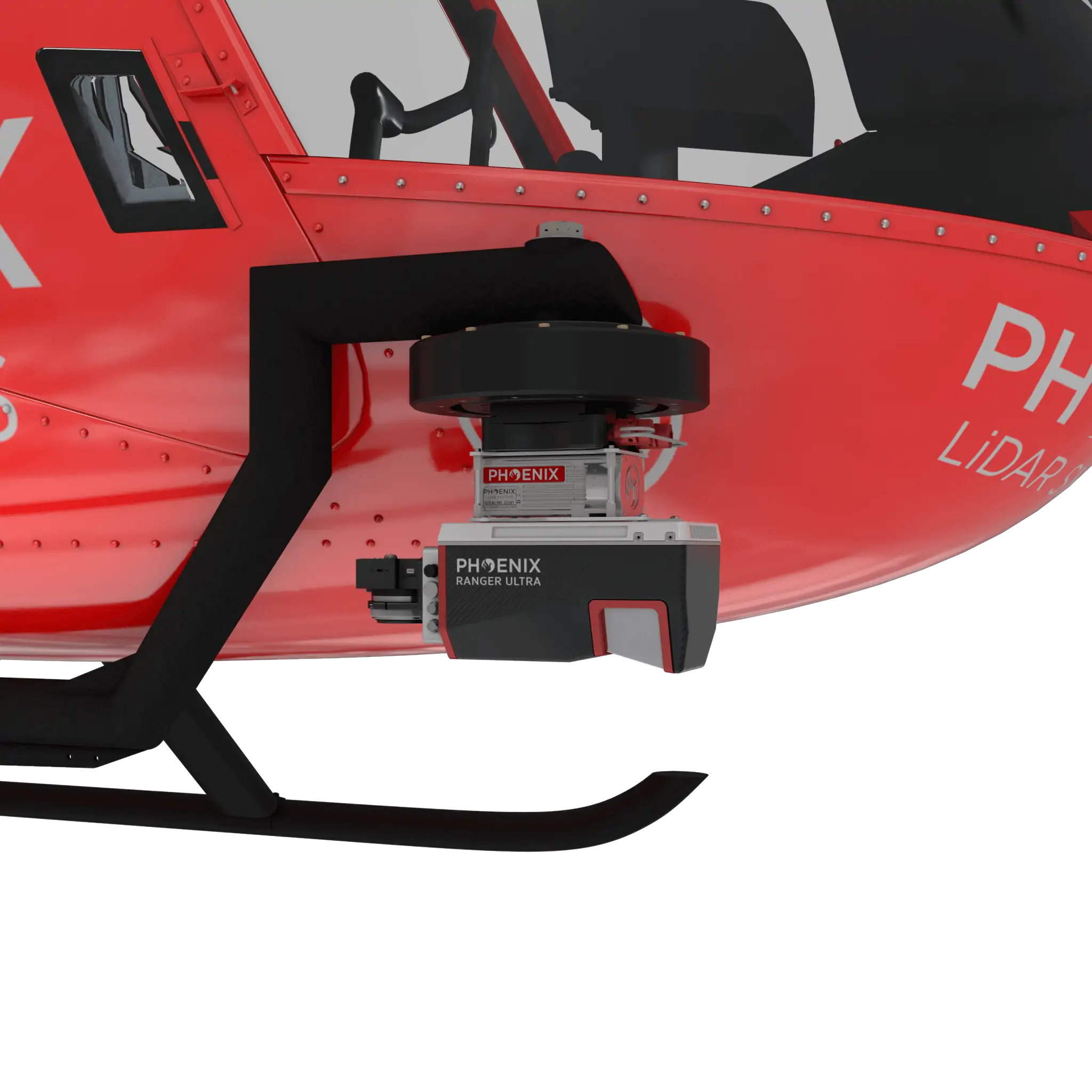
Ranger-Ultra – Airborne Laser Scanner
The Ranger-Ultra is a powerful airborne laser scanner designed for fixed-wing, multirotor and helicopter drone platforms, featuring a unique forward- and rear-looking FOV that minimizes laser shadowing and provides geometry on complex vertical structures in a single pass. With a wide field of view of 100 degrees and a pulse repetition rate of up to 1.8 MHz, the Ranger-Ultra is ideal for high point density corridor mapping applications such as power line, railway track and pipeline inspection.
The Ranger-Ultra includes Phoenix LiDAR’s AIR NavBox, a lightweight rover that allows configuration of heavier payloads for the DJI M600 series and integration of the highest resolution cameras on the market.
- Weight: 3 kg
- Dimensions: 242 x 117 x 215 mm
- Absolute Accuracy: 25-50 mm @ 350 m Range
- Max Range: 1430 m
- Max Scan Rate: 1800k points per second


