


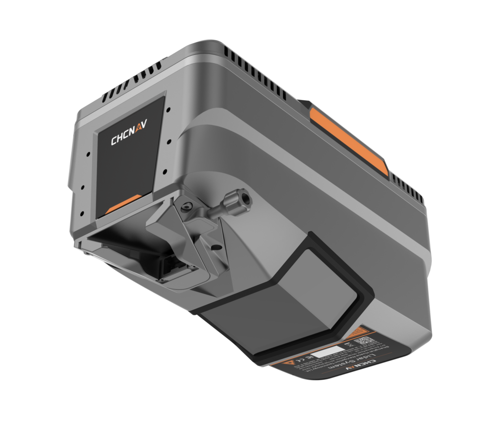
LiDAR for Aerial Survey and Mapping
Discover cutting-edge solutions from 4 leading global suppliers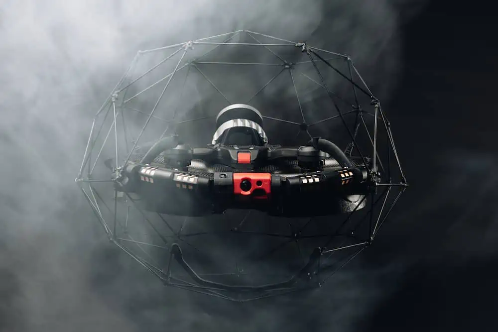
After over a year of preparation and research, Flyability’s Elios 3 has successfully 3D mapped a vault built in the 1960s to store radioactive waste, providing crucial information for planning its removal.
The mission, which took place in late November 2022 at the Idaho Nuclear Technology and Engineering Center at the Idaho National Laboratory Site in eastern Idaho, is believed to be the first time a drone has been flown inside a high-level radioactive waste storage vault.
Approximately 50 people supported the mission, helping to cover the top of the vault with a plastic tent to ensure the mission took place indoors as described by FAA regulations and Department of Energy (DOE) requirements, and using a crane to lift back the vault’s lid and underlying hatch.
According to Flyability, the Elios 3 performed well, and DOE contractor Idaho Environmental Coalition (IEC) was able to get all the LiDAR data it needed to create a robust 3D map of the vault in just one seven-minute flight. An expert from 3D mapping software company GeoSLAM was there to immediately process the LiDAR data on GeoSLAM’s software, ensuring that the resulting 3D model would meet the needs of IEC.
“The Elios 3 was able to collect all the data we needed despite the high levels of radiation in the vault,” said Kevin Young, Principal Electrical Engineer at IEC. “Getting this data was crucial to the project safely moving forward. The mission was a huge success.”


Over the last two years, the IEC’s Calcine Retrieval Project was looking for the right solution to 3D map the interior of the waste storage vault. Called calcine, the granulated high-level radioactive waste had originally been placed in huge, 20-foot-tall stainless-steel bins stored inside the vault with no plans for its removal, which meant that devising a plan to remove the calcine safely would be difficult. Calcine is a dried byproduct of radioactive liquid waste that was generated during historic spent nuclear fuel reprocessing runs until 1992.
IEC had developed a remote solution for removing the waste that involved drilling into the vault, robotically welding pipes onto the tops of each bin, and then cutting into the bins using a plasma cutter. After they were attached, the pipes would pneumatically transfer the calcine. But without detailed blueprints or a 3D map of the vault’s interior, there was no way to know where to drill the holes.
IEC conducted a thorough review of possible solutions for 3D mapping the vault before choosing the Elios 3 for the mission, considering alternatives such as the use of an articulating arm and a helium-filled blimp.
After identifying the Elios 3 as the right tool for the job, IEC tested it in a high-radiation environment, exposing the drone to up to 10,000 Roentgen per hour of radiation to ensure it would be able to operate inside the vault. The IEC also built a life-sized replica of the vault so that its pilots could be trained in an environment that simulated the real environment in which they planned to fly.
“After over a year of preparation it has been incredibly exciting to see this project conclude successfully,” said Alexandre Meldem, Managing Director of Flyability North America. “We are always looking for ways Flyability’s technology can be leveraged to gather data that would be hard or even impossible to collect otherwise. This mission is a prime example of the benefits the Elios 3 can provide for 3D mapping confined spaces to support inspections and project planning.”
After two successful LiDAR data collection flights, IEC performed a third experimental flight with one of its own dosimeters attached to the drone, making it much heavier. For reasons not fully understood, after the drone entered the vault for this flight it was not able to produce enough lift to maintain altitude. It made a slow descent to the top of one of the storage bins and became snagged on a piece of angle iron.
All attempts to free the drone failed. Before the battery died, the drone was able to transmit a maximum radiation reading of 7 Gy/h (700 rad/h) at the top of the bin. ICP subject matter experts completed a comprehensive analysis and concluded that leaving the drone on top of the storage bin presents no hazards to human safety or the integrity of the bin.
Now that the vault has been 3D mapped, the next step is to plan for the removal of the calcine, a process IEC plans to begin this year. In total, there are six vaults on the site storing a total of 4,400 cubic meters of calcine, all of which needs to be removed for the project to be completed.

Find suppliers & manufacturers of Industrial Drones & UAS >>


