


Blue Marble Geographics has released Global Mapper Pro version 24 at Intergeo 2022, with new and improved tools that expand functionality with kriging analysis and more accessible workflow optimization through Global Mapper Script.
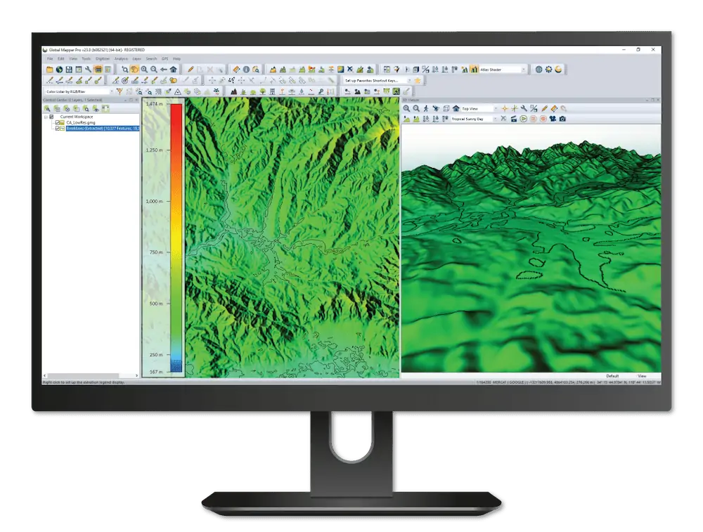
Enhancing the functionality of the Global Mapper program, Global Mapper Pro provides a set of advanced tools for GIS users, including terrain and point cloud analysis, Python script integration, and Pixels to Points for drone-collected image photogrammetry.
According to Blue Marble, the new Script Builder tool in Global Mapper Pro v24 makes it easier to automate workflows by transforming actions taken in the program’s user interface into Global Mapper Script from an easy-to-use record button. Additionally, integration between Global Mapper Pro and the iOS and Android Global Mapper Mobile app has been improved by expanding the Mobile Data Management tool to include data review and merging from multiple map files.
Debuting in version 24 of Global Mapper Pro is a Variography and Kriging analysis tool able to use lidar or vector point data to generate a kriged prediction layer. With fully customizable variogram options and theoretical model selection, this data-driven tool can estimate values to fill gaps in datasets and reports calculated uncertainty values alongside kriged estimates for quality assurance. Global Mapper Pro v24 also contains Swath Separation Image creation in line with the USGS Base Lidar Specification allowing users to clearly report vertical offset between lidar swaths.
“This release of Global Mapper Pro has some exciting advancements in terms of workflow optimization, including recorded script building, GPU-acceleration of Pixels to Points, and a new tool for merging changes from Global Mapper Mobile field collected data,” said Katrina Schweikert, Product Manager. “We are also introducing some powerful geostatistics tools with the new Variogram and Kriging tool, which can predict values based on patterns in the data and report the probability of those predictions. We continue adding lidar tools, including Swath Separation calculations.”
To learn more about all of the new features available in standard and Pro versions of Global Mapper v24, visit the Blue Marble booth 1 / F1.038 at Intergeo 2022.


