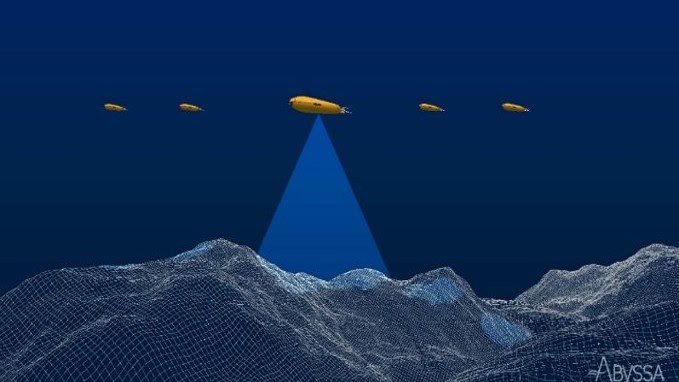
Exail, working with RTsys and ABYSSA through the CARMA project, will produce an integrated deep-water AUV swarming solution for subsea mapping and surveying
Mosaic's Meridian mobile mapping system pairs the MosaicX camera with a precision INS/LiDAR device from Inertial Labs, making high-accuracy mapping more accessible than ever
Commercial UAS industry leaders serving on the Commercial UAV Expo Advisory Board will provide guidance for the 10th edition of the event taking place 3–5 September 2024, at Caesars Forum in Las Vegas, Nevada, USA
NovAtel Application Suite Version 2.0 integrates GRIT Monitor to provide GNSS interference insights, improves the overall firmware compatibility for MarinePak, and adds a new Manage application functionality
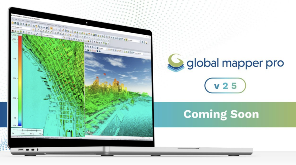
Blue Marble Geographics discusses the new features and improvements in Global Mapper v25.1 Pro, from creating subclassifications in point clouds, terrain painting within the path profile window, and automatic ground control point placement
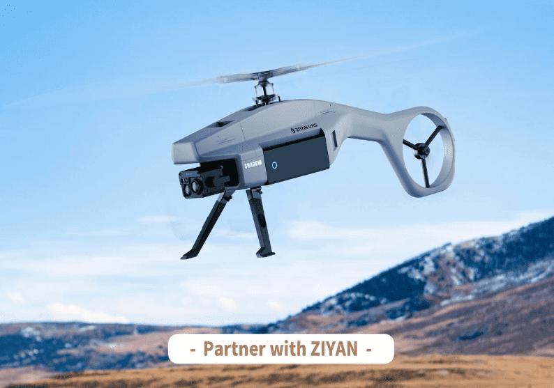
Electric unmanned helicopter specialists Ziyan UAS is seeking like-minded partners to explore potential and sustainable business cooperation models together
Global Mapper Pro’s Custom Point Cloud Classification Training Tool has won the 2024 Lidar Leader: Outstanding Innovation in Lidar Award, for developing groundbreaking new functionality for training custom automatic point cloud classifications
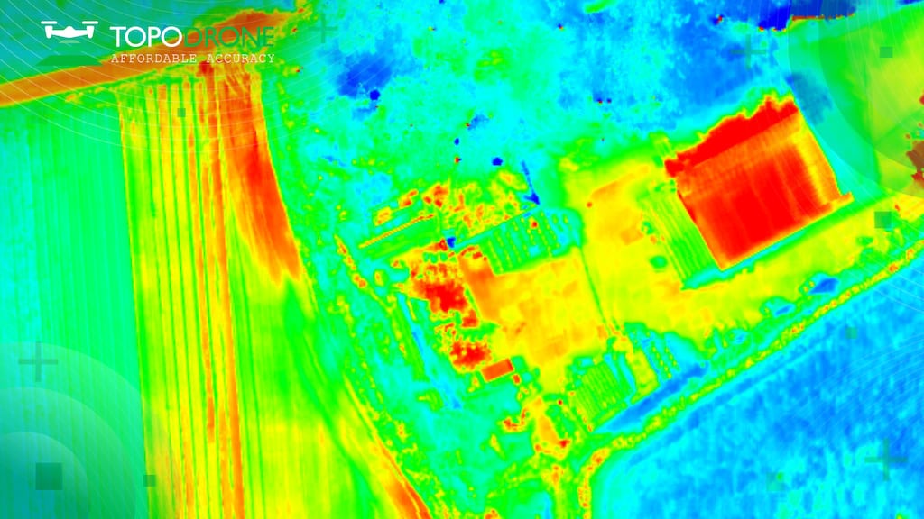
In collaboration with BayesMap, Inertial Labs has announced the PCMasterPro software update for the high-accuracy LiDAR point cloud generation solution RESEPI
Velos Rotors has tested a new payload for the Velos V3, the RIEGL VQ-840-GL, a fully integrated, compact airborne laser scanner for combined topographic and bathymetric survey
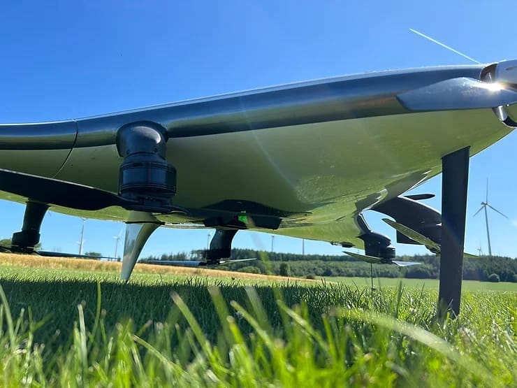
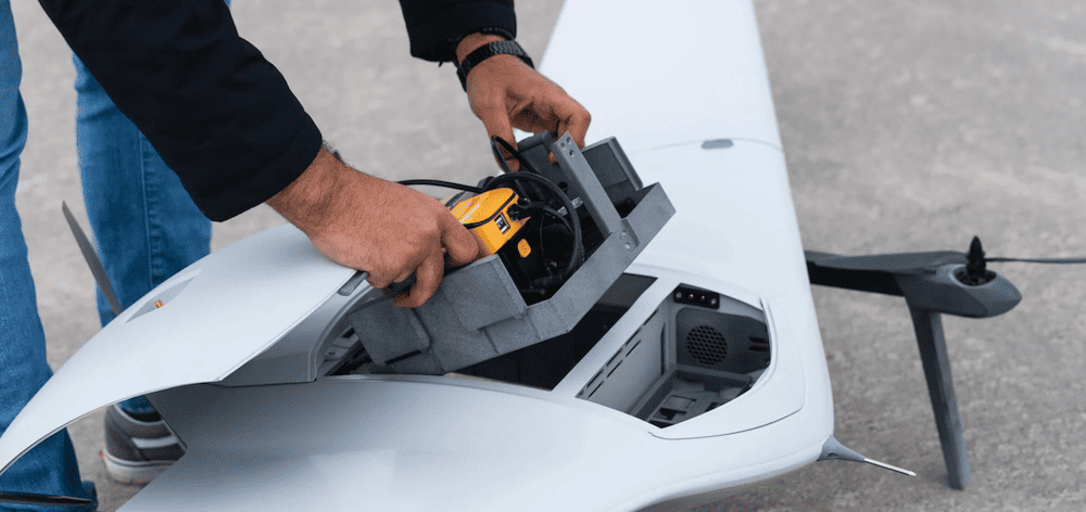
YellowScan’s new Surveyor Ultra OEM LiDAR has been integrated into DeltaQuad’s Evo fixed-wing VTOL, delivering 1200 ha of colorized LiDAR coverage over longer flight times
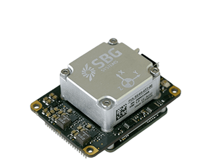
At the exhibition, Bynav showcased its latest Alice High Precision GNSS SoC, GNSS/INS integrated navigation module (P-MODULE), and IMU-BOX, among other core products
New features, tools, and improvements to Global Mapper Pro Version 25 include a new least-cost path analysis tool, multiple pixels to points improvements, and a new raster paint tool
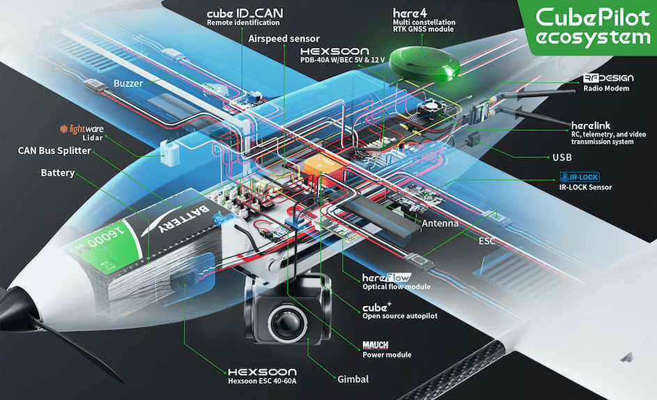
CubePilot has released details of the ekoSKY by BZB UAS, which is equipped with a vertical takeoff and landing system, is made of composite materials, and is powered only by electric motors
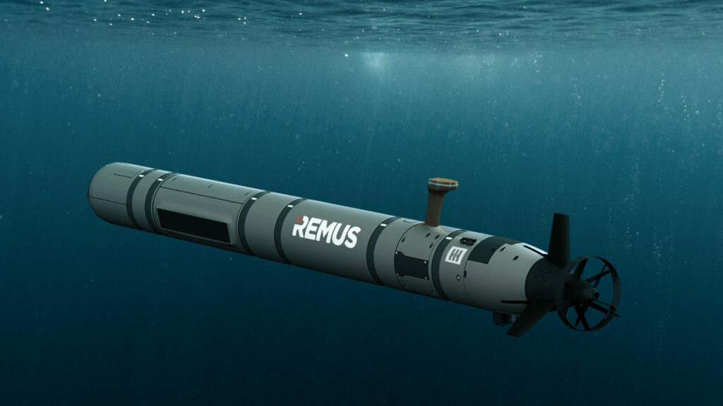
The National Oceanic and Atmospheric Administration (NOAA) will use the REMUS 620 unmanned underwater vehicles (UUVs) for higher-resolution mapping of the Gulf of Mexico and its effort to restore seafloor habitats
RIEGL and StriekAir engineering GmbH have fused the VUX-120²³ laser scanner with VTOL CarryAir, furthering precise data acquisition during unmanned aerial surveys
Geodata is a fundamental part of the building information modelling (BIM) process - The BIM Days Germany event is being held in parallel with INTERGEO 2023 at the exhibition grounds, 10 to 12 October 2023, Messe Berlin
With a flight endurance of up to 2 hours, an operational range of 100km and a data transmission range of up to 30km, the RANGER P2X is designed for surveillance and mapping applications
DeltaQuad’s Evo VTOL UAV sets a new standard with a flight time of 2.5 hours, covering up to 500 ha with the YellowScan LiDAR and RGB system in a single flight
Advancing Unmanned Systems Through Strategic Collaboration
UST works with major OEMs to foster collaboration and increase engagement with SMEs, to accelerate innovation and drive unmanned systems capabilities forward.