


Geospatial Technology
Discover cutting-edge solutions from 5 leading global suppliersAt Geo Week in Denver, USA, OxTS took part in the Pitch the Press opportunity for exhibitors to pitch their solutions to a group of editors and reporters looking for the most unique and innovative new solutions to be showcased at Geo Week.

Accepted as one of the 15 companies to present their software, OxTS Product Engineer, Jonathan Deacon took on the challenge to pitch the OxTS Georeferencer and Boresight Calibration tool, focusing on the simplicity and ease of use of the technology.
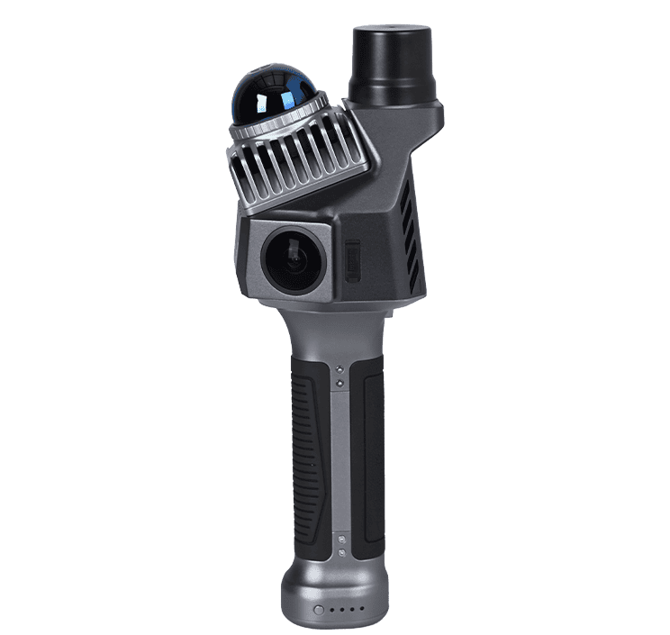
OxTS Georeferencer is OxTS’ proprietary LiDAR georeferencing and boresight calibration tool. The software takes the navigation measurements from any INS and georeferences LiDAR data from multiple sensor families at the touch of a button. Furthermore, the boresight calibration tool, a feature within the software, allows surveyors to take advantage of a quick and simple, data-driven method, to boresight their LiDAR payload.
The process, which takes as little as five minutes to complete, involves surveying two retro-reflective targets using the equipment already present for surveying.
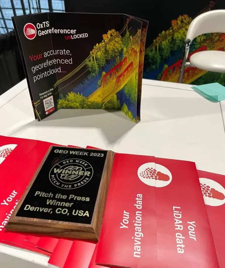
According to OxTS, Jonathan wowed the audience with his two minute pitch and the company came away as a new Geo Week Pitch the Press winner.
The judges said that OxTS introduced its OxTS Georeferencer tool, a game-changing LiDAR georeferencing tool simplifying incredibly complex technology to a truly impressive level. This software tool enables surveyors to quickly and effectively boresight their payload, and georeference their LiDAR sensor data, allowing professionals to produce accurate pointclouds in just minutes.
The judges added that they were particularly blown away by how simple this ‘absolutely essential’ process has been made, with the presentation indicating that just a quick tutorial video and a simple click of a button produces the results a surveyor is seeking.

Try OxTS Georeferencer for free for 14 days!
Due for release later this year, the next version of OxTS Georeferencer will allow users to take the measurements from their existing navigation device and use them to georeference LiDAR data from multiple sensor families.


