


Discover World-Leading Unmanned and Autonomous Technologies
Discover cutting-edge solutions from leading global suppliers
SUPPLIER SPOTLIGHT
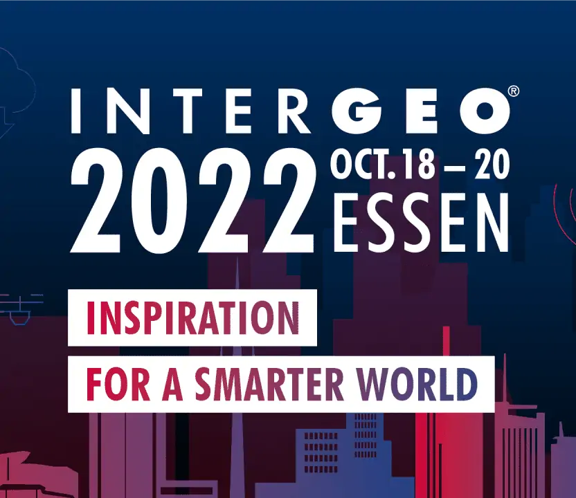
INTERGEO 2022 is taking place in Essen, Germany, October 18th to 20th. The unmanned sector is a significant part of the international geo-community and many UnmannedSystemsTechnology.com partners will be attending the event either exhibiting, presenting or walking the floor – if you’d like to meet up with them, then why not send a message via our platform? Details below:
- Advanced Navigation Hall 3, booth C3.010
MEMS and FOG based inertial navigation products for geopointing, LiDAR missions with VTOL UAVs and drone surveying and geo-referencing missions - Auterion Hall 3, booth A2.138
State-of-the-art drone software platform designed to enable simple, safe and fully integrated large-scale operations for drone fleets - Blue Marble Geographics Hall 1, booth F1.038
Geospatial data analysis, point cloud processing and GIS mapping software for Drones and UAV enabling comprehensive editing and processing of GIS data - C-Astral Hall 2, booth D2.011
Mapping and surveying drone solutions covering vast areas, providing superior efficiency and productivity for geospatial and aerial surveying professionals - CHC Navigation Hall 1, booth G1.006
GNSS and inertial navigation solutions for professional geospatial and mapping applications - ComNav Technology Ltd. Hall 2, booth C2.006
High-precision GNSS modules and positioning technologies delivering improved reliability and enhanced productivity for land and aerial surveying and mapping - ElevonX Hall 2, booth J2.006
Long-endurance VTOL UAVs covering vast areas in a single flight, ideal for efficient high-productivity mapping and surveying applications
Suppliers and developers of Geospatial Technology for Drones & Unmanned Systems on UST >>
- FIXAR AERO SIA Hall 1, booth A1.038
Autonomous fixed-wing VTOL UAV designed for a wide variety of commercial and industrial applications, such as aerial mapping and survey - Inertial Labs, Inc. Hall 3, booth A3.095
Precision inertial sensors: MEMS IMU, GPS-INS, AHRS, Gyros, MRU and high-accuracy LiDAR point cloud generation solution RESEPI - iXblue Hall 3, booth E3.026
State-of-the-art inertial and acoustic positioning systems providing optimal efficiency and reliability for land, sea and aerial missions - OxTS Hall 3, booth A3.084
GNSS INS solutions for direct geo-referencing data from UAVs and powerful software tool OxTS Georeferencer for creating georeferenced 3D pointclouds - Phase One Hall 3, booth C3.110
Powerful, high-accuracy UAV cameras and drone-based aerial photography solutions for efficient and versatile aerial imaging missions - Phoenix LiDAR Systems Hall 3, booth F3.122
High-resolution & long-range LiDAR for airborne surveys & 3D mapping - RIEGL Laser Measurement Systems GmbH Hall 3, booth D3.110
LiDAR sensors and systems, remotely piloted airborne platforms for surveying, mapping & bathymetry
Suppliers and developers of Geospatial Technology for Drones & Unmanned Systems on UST >>
- SBG Systems Hall 3, booth E3.024
High-accuracy INS/GNSS for UAV-based surveying solutions – inertial navigation systems, AHRS, and IMU Sensors for unmanned systems - Schneider Digital Hall 1, booth D1.016
Advanced hardware solutions for 4K, 3D and AR/VR display applications for mapping, photogrammetry, LiDAR and 3D scanning, and digital modelling - Seafloor Systems, Inc. Hall 1, booth C1.027
Turnkey hydrographic survey solutions – unmanned surface vehicles, vessels and unmanned boats for hydrographic marine surveys - Silicon Sensing Hall 3, booth F3.023
Reliable high-precision MEMS gyroscopes, MEMS accelerometers, IMUs and inertial sensing systems - Teledyne Geospatial Hall 1, booth F1.018
Advanced LiDAR scanners and AI-powered software workflows for geospatial data collection and processing for UAVs, AUVs and unmanned surface vehicles - TopCon Hall 2, booth A2.014
GNSS positioning technology, GNSS receivers and antennas and GNSS network solutions and software - VectorNav Hall 3, booth E3.056
MEMS inertial navigation systems delivering superior accuracy and reliability even under demanding and dynamic real-world conditions - YellowScan Hall 1, booth B1.037
Lightweight survey-grade LiDAR technology for drone mapping and surveying applications, including civil engineering, forestry, environmental research, mining and archaeology


