GPS for UAV
GNSS (Global Navigation Satellite System) is a standard term for any satellite-based navigation system that provides geo-spatial positioning data with global coverage. The most well-known GNSS is the United States-developed GPS (Global Positioning System). Other GNSS signals include Russia’s GLONASS, the European Union’s Galileo, and China’s Beidou.
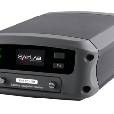
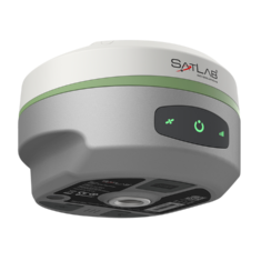
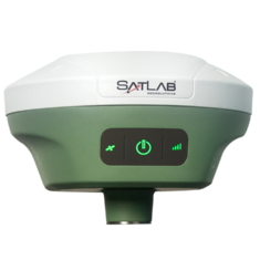
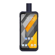
UAV GPS Receivers
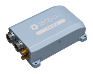
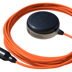
Advanced Navigation Certus GPS-Aided INS
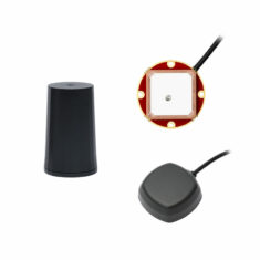
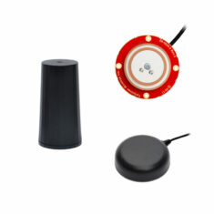
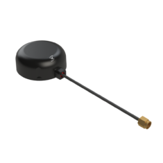
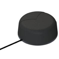
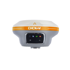
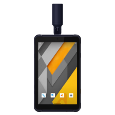
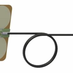
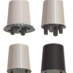
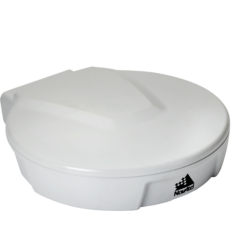
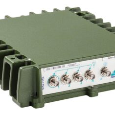
Many unmanned systems such as UAVs, UGVs and AUVs require the use of GPS/GNSS to provide them with a high degree of positioning accuracy. A GNSS antenna is mounted somewhere on the vehicle that receives location and time data from GNSS satellites. This data is then usually fed into the avionics, autopilot or navigation systems of the vehicle, and can also be used to determine velocity.
In addition to navigation, unmanned vehicles may use GNSS to georeference gathered data, avoid collisions, or provide a tracking facility. The GNSS data provides inputs to the control loop of a drone or other autonomous vehicle, allowing it to maintain position, return to home or follow a series of preset waypoints. This is particularly important for waterborne robots such as AUVs and ROVs whose positions can be significantly affected by tidal activity.
GNSS faces the limitation of needing to be within line of sight of at least four satellites in order to provide reliable navigation. In poor signal environments it can be advantageous to couple the GNSS with an Inertial Navigation System (INS), which uses rotation and acceleration information to calculate a relative position that can be used for navigation during loss of GNSS signal. In turn the GNSS can provide an external reference to the INS that helps reduce the effect of bias errors.
Drone GPS
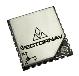
VectorNav VN-200 GPS Aided Inertial Navigation System
Consumer-grade drones are typically built with a GNSS receiver that provides accuracy to around 2-3 metres. In order for such a system to be useful for high-accuracy data gathering such as aerial imagery, the data needs to be referenced to the same coordinate system as the GIS database. This can be achieved by using ground control points (GCPs) or Direct Georeferencing. By determining more precise GNSS coordinates, drone mapping software can then accurately position its output in relation to the real world.
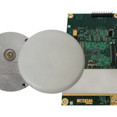
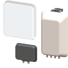
In addition to GPS/GNSS antennas, GNSS-INS / GPS-INS and GPS/GNSS receivers, GNSS simulators and GNSS signal generators are also important components for accurate and precise positioning solutions.


