


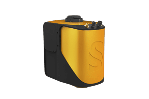
Start your LiDAR journey with our easy-to-use Mapper system. Its low weight, mid-range capability, top-end point density and advanced accuracy and precision, makes this LiDAR system the best value for money.
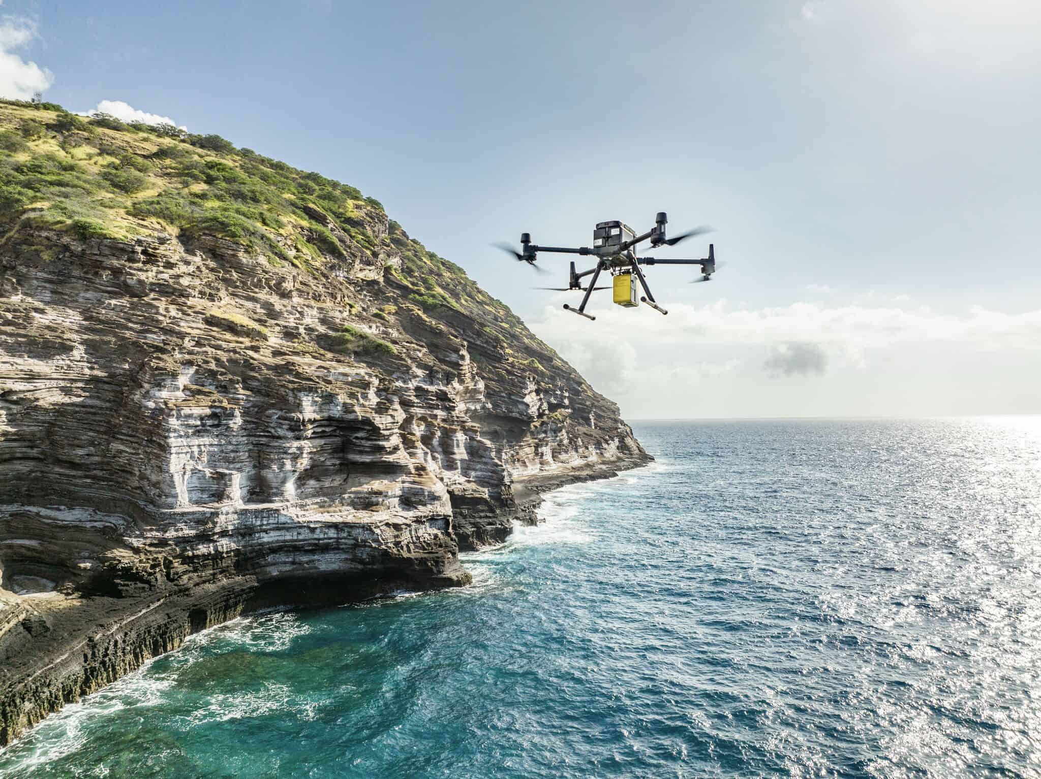
The YellowScan Mapper is an advanced UAV LiDAR solution based around the Livox Horizon laser scanner. With an excellent point density, the system can be flown easily at 70m AGL with a 120m swath.
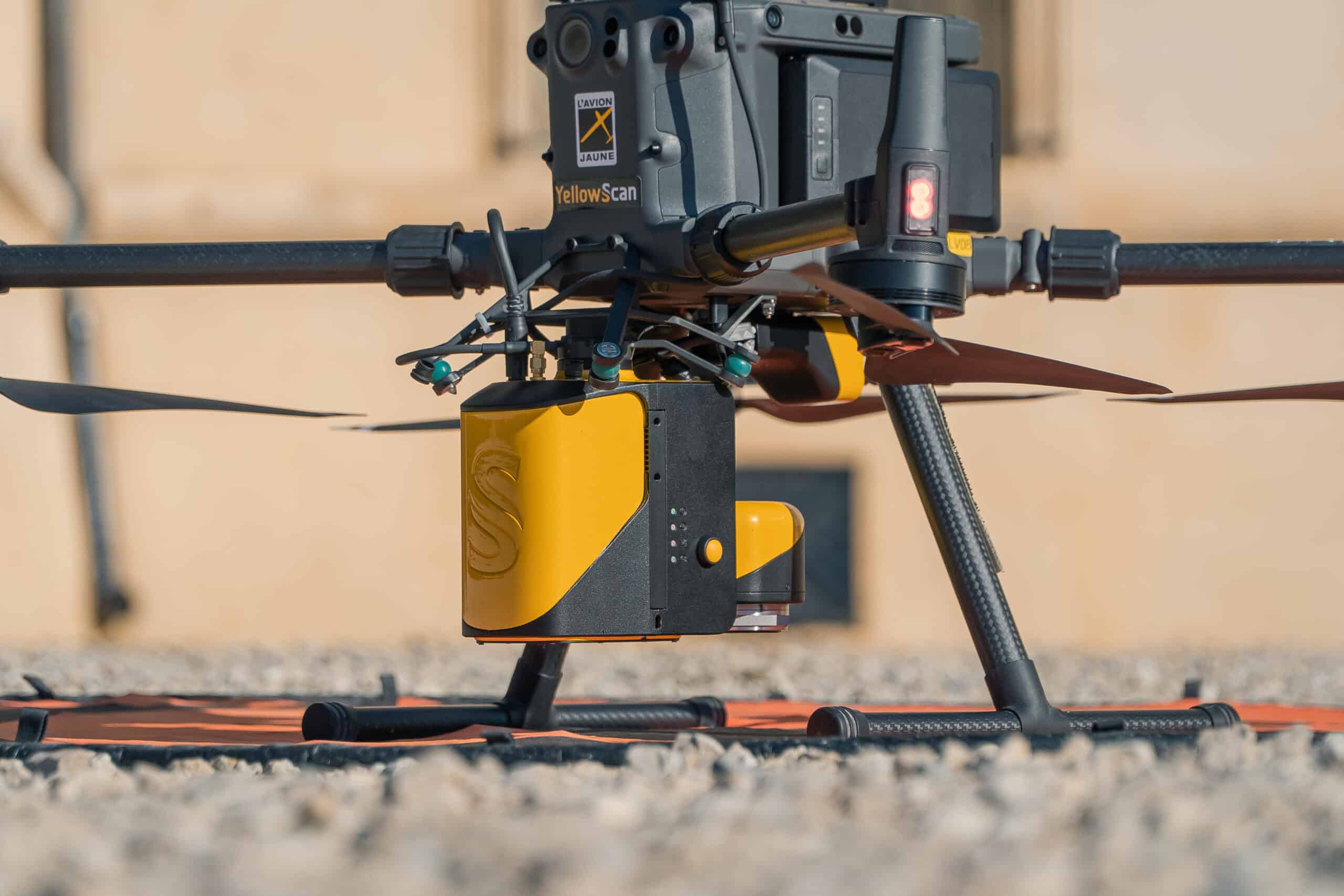
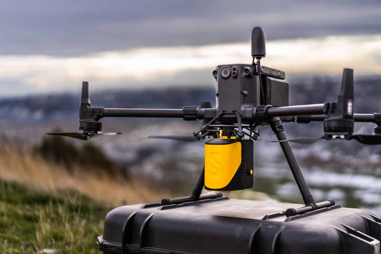
The self-powered unit can be easily integrated into almost any UAV, including multirotor, fixed-wing and helicopter drones. Batteries can be quickly swapped in the field, providing increased productivity.
The YellowScan Mapper features IPW55-rated protection, allowing you to launch missions when weather reports are ambiguous and easily fly home should rain occur.
Package includes- YellowScan Mapper
- DJI Skyport adapter for M300 / M200
- Charger and 2 batteries
- GNSS antenna and cable
- 2 USB flash drives
- Rugged backpack
- Applanix POSPac UAV software to process GNSS and inertial data for highest accuracy
- YellowScan CloudStation software to generate, visualize, adjust strips, classify and colorize your georeferenced point cloud
- 1-year unlimited technical support
- 1-year warranty
- In-person or online training
- Camera & boresight calibration
| Scanner | Livox Horizon |
| Wavelength | 905 nm |
| Precision | 2 cm |
| Accuracy | 3 cm |
| Shots per second | 240 k |
| Echoes per shot | Up to 2 |
| Scanner field of view | 81.7 ° |
| GNSS-Inertial solution | Applanix APX-15 UAV |
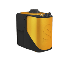
| Weight | 1.5 kg (3.3 lbs) battery included |
| Size | L 14.3 x W 9.5 x H 15.4 cm |
| Autonomy | 1 hour typ. |
| Power consumption | 19 W |
| Operating temperature | -20 to +40 °C |


