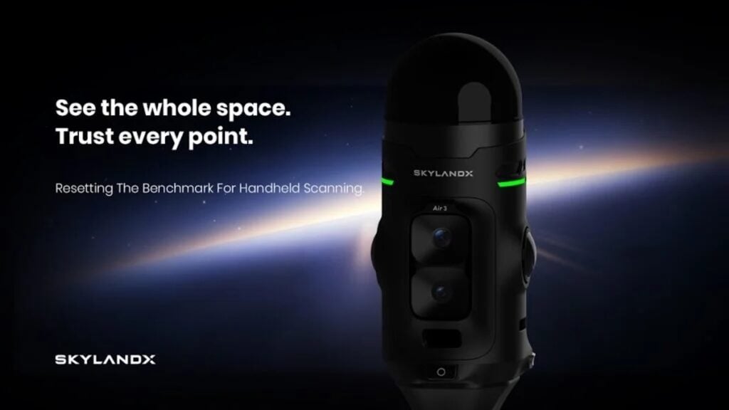
SKYLANDX is an innovative developer of high-precision 3D scanning and spatial intelligence solutions that combine LiDAR, vision, inertial sensing and AI-powered SLAM.
Unmanned Systems Technology (UST) is pleased to announce the addition of SKYLANDX to our global supplier ecosystem. Their new Gold supplier profile showcases a comprehensive portfolio of high-precision mapping, surveying and navigation technologies engineered for drones, robotics and autonomous systems.
Combining a suite of cutting-edge technologies, SKYLANDX solutions generate detailed three-dimensional maps and models while providing reliable localization in GPS-denied environments. Backed by advanced R&D and proven across real-world applications including robotic navigation, construction, geospatial surveying and industrial inspection, the company’s products are designed to deliver accurate and stable spatial data across a wide variety of operating environments.
Key products and capabilities from SKYLANDX include:
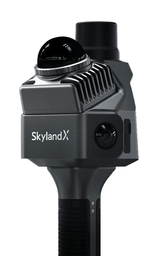
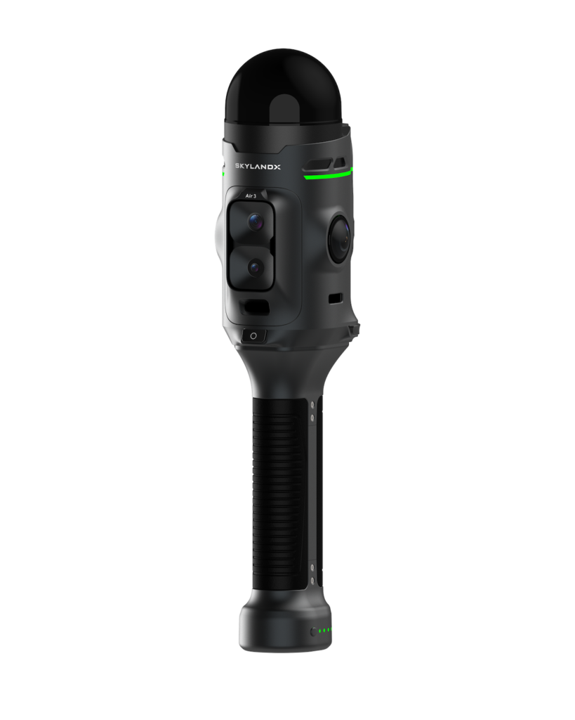
MetaCam Air 2: A compact multisensor 3D laser scanner combining twin 48 MP panoramic cameras with a 200,000 points/sec LiDAR unit. AI-driven SOTA-SLAM technology provides relative accuracy of less than 1cm, and real-time full-color previews allow operators to verify coverage while still on site.
MetaCam Lite: A lightweight handheld LiDAR scanner designed for professional short- and medium-range measurement, robotic simulation and mapping. Optimized calibration helps reduce point distortion and corner noise, and smart scan resumption enables large projects to be completed across multiple sessions.
MetaCam Pro: A lightweight survey-grade solution for high-density scanning across large and complex environments. Combining LiDAR, panoramic and high-definition imaging, and V-SLAM capabilities, the system delivers up to 5.24 million points per second and can integrate with robotic vehicles. RTK, PPK and GCP data can also be fused with SLAM results for drift correction and georeferencing.
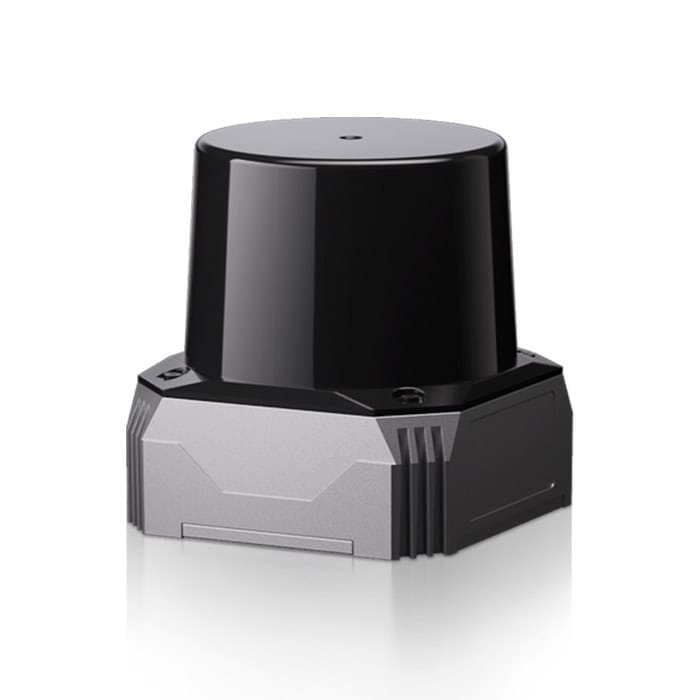
C01 SLAM LiDAR: A compact LiDAR unit developed for high-precision localization, mapping, measurement and obstacle avoidance. Three-axis longitudinal non-repetitive scanning and an integrated six-axis IMU provide dense, low-noise point clouds. A narrow blind zone, IP67 protection and compatibility with popular open-source algorithms make it highly suited to autonomous vehicles and robotic platforms.
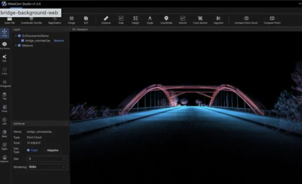
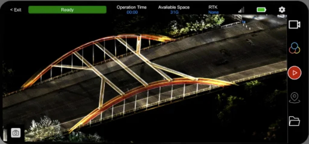
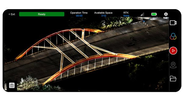
MetaCam Software Ecosystem: SKYLANDX complements its scanning hardware with integrated software spanning field capture, processing and collaboration. MetaCam Go provides mobile scanner control and real-time point cloud previews, MetaCam Studio supports point cloud processing, editing, measurement and calibration, and SKYLAND Cloud enables cloud-based processing, 3DGS generation, visualization and collaborative review.
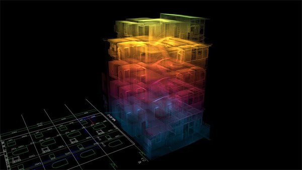
Encompassing portable field scanning and survey-grade data capture through to autonomous navigation and GPS-denied localization, SKYLANDX provides an integrated hardware and software ecosystem for collecting, processing and utilizing high-quality spatial data. Its combination of multisensor hardware and AI-powered SLAM enables unmanned and robotic systems to accurately understand and operate within complex environments.
To learn more about SKYLANDX’s 3D scanning, LiDAR and spatial intelligence technologies, visit their full Gold supplier profile on Unmanned Systems Technology.