




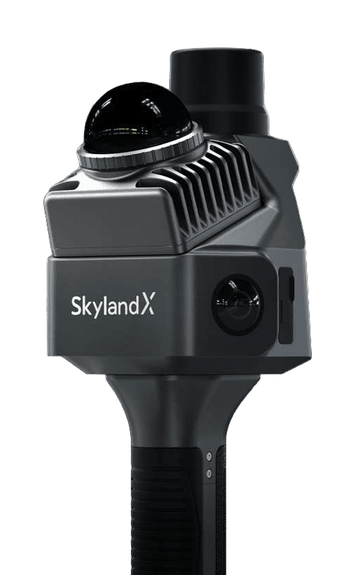
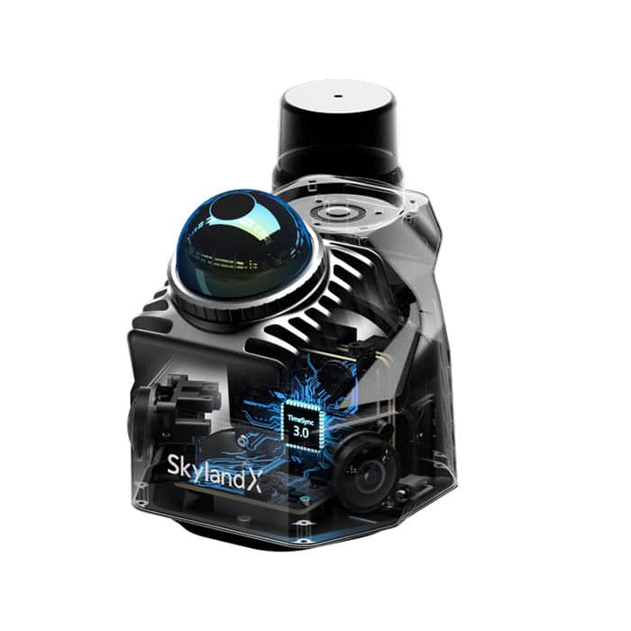
MetaCam Air 2 is a portable 3D laser scanner that combines LiDAR, panoramic imaging, RTK positioning and onboard processing in a compact form factor. Its 200,000 points/sec scanner provides a 360-degree horizontal field of view and measures targets from 10 cm to 70 m, and twin 48 MP cameras record panoramic imagery for point cloud colorization and visual documentation. A 6 TOPS processor runs SKYLANDX's AI-driven SOTA-SLAM algorithm, using fused sensor data to generate stable mapping results with relative accuracy of less than 1 cm.
TimeSync 3.0 aligns the integrated sensors at the hardware level with microsecond timing, providing consistent data for fusion and post-processing. Operators can view full-color point clouds and scan reports on site, making it easier to identify coverage gaps before leaving the survey area. Smart scan resumption divides extensive projects between multiple sessions, with the resulting datasets automatically stitched together.
Specifications:
| Dimensions | 104 x 140 x 305.7 mm overall 104 x 105 x 133.2 mm main unit |
| Weight | 982 g overall 619 g main unit 363 g battery |
| Power Consumption | <20 W |
| LiDAR Point Rate | 200,000 points/sec |
| LiDAR Scan Rate | 10 Hz typical |
| LiDAR Measurement Range | 0.1 to 40 m at 10% reflectivity 0.1 to 70 m at 80% reflectivity |
| LiDAR Field of View | 360 degrees horizontal x 59 degrees vertical (-7 to +52 degrees) |
| Camera Sensor Size | 1/2 in |
| Camera Field of View | 200 degrees horizontal x 200 degrees vertical per camera |
| RTK Accuracy | 0.8 cm + 1 ppm horizontal 1.5 cm + 1 ppm vertical |
| Point Cloud Thickness | <1 cm |
| Relative Accuracy | <1 cm |
| Absolute Accuracy | 5 cm |





