MetaCam Air 2
Compact multisensor scanner with AI-powered SLAM capabilities
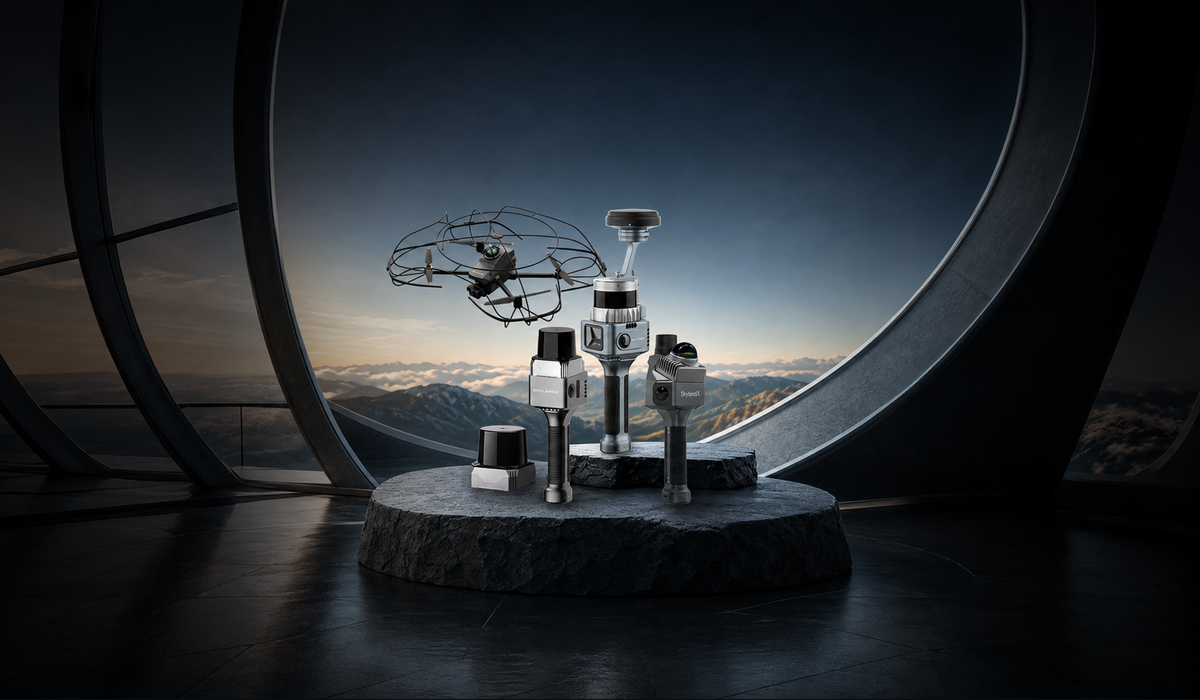
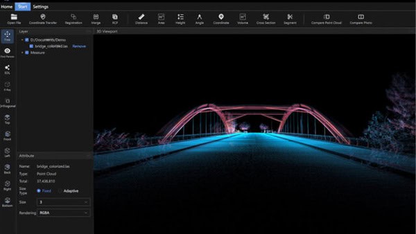
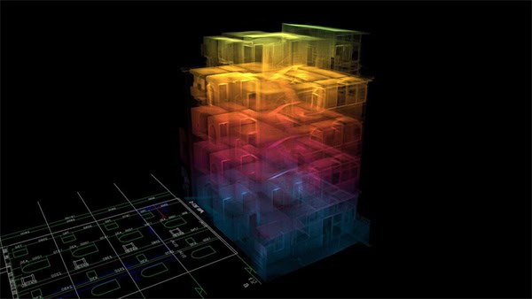
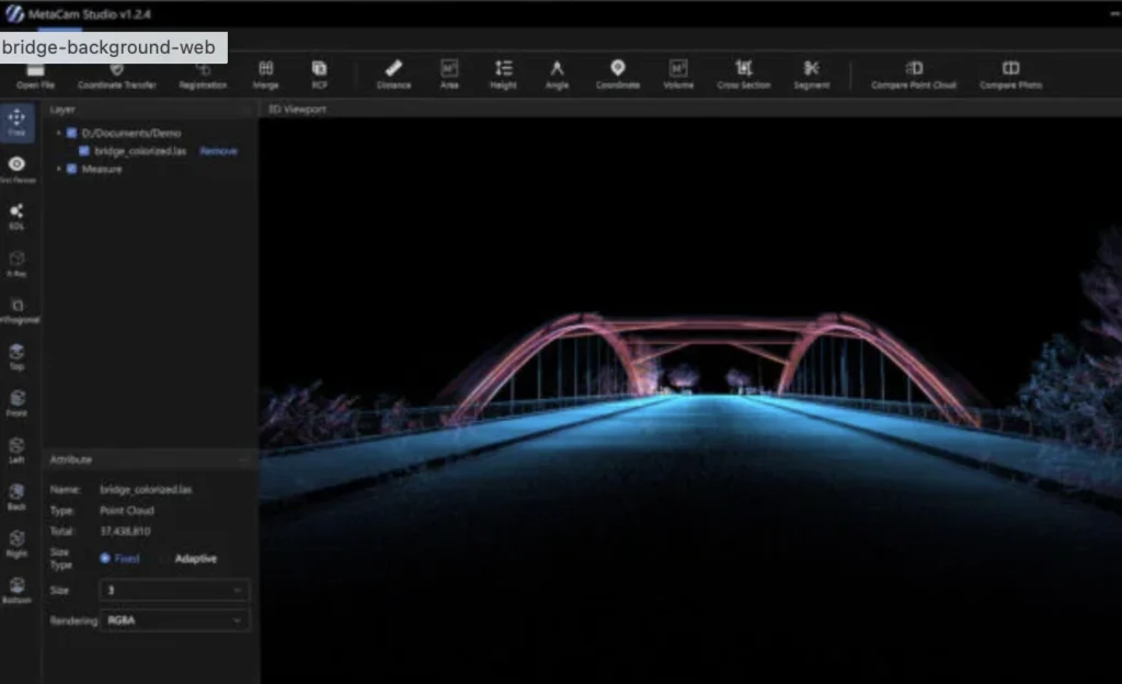
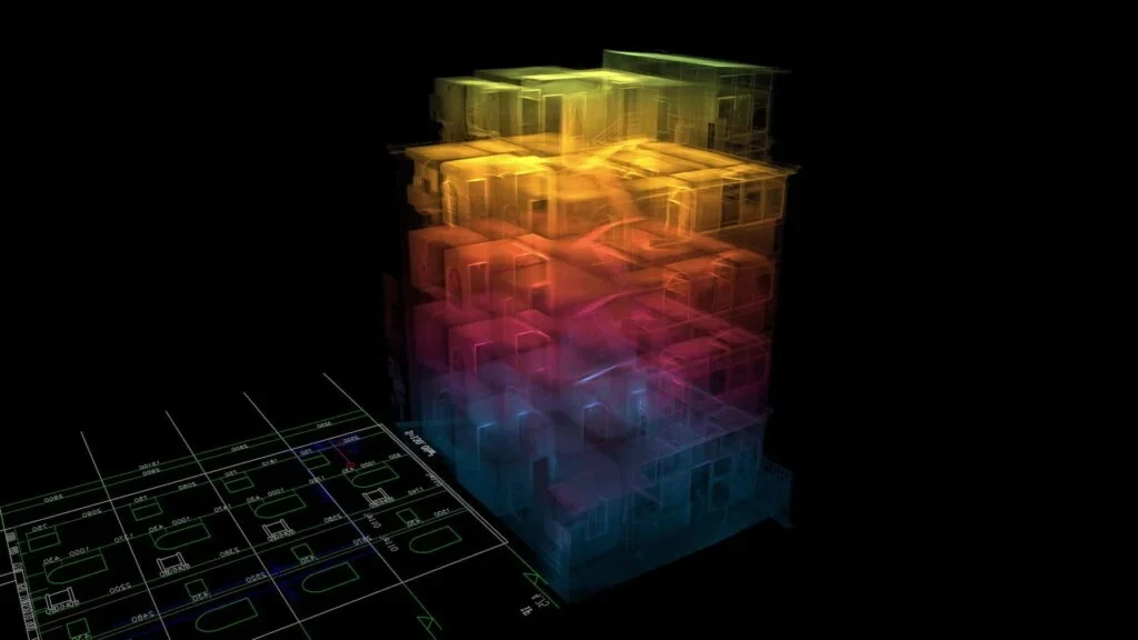
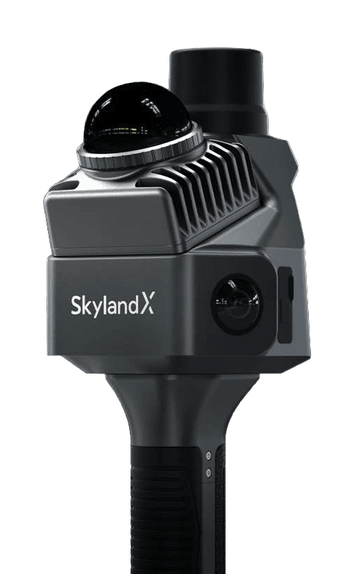
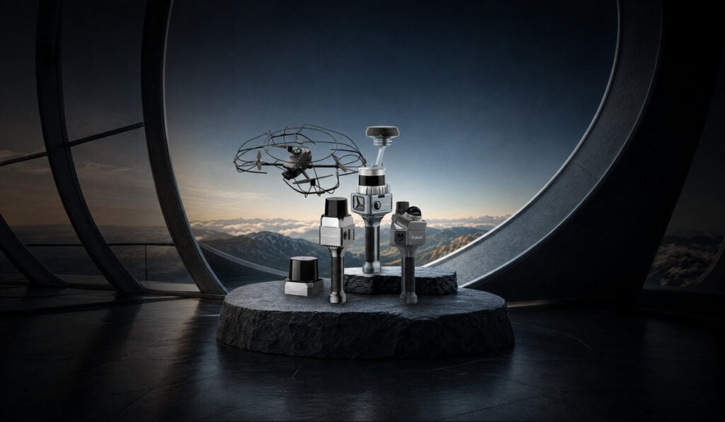
MetaCam Air 2 is a portable 3D laser scanner that offers tightly-integrated multisensor capabilities in a highly compact form factor. Incorporating twin 48 MP panoramic cameras and a 200,000 points/sec LiDAR unit, it provides ultra-accurate point clouds and digital deliverables in multiple formats from a single scan.
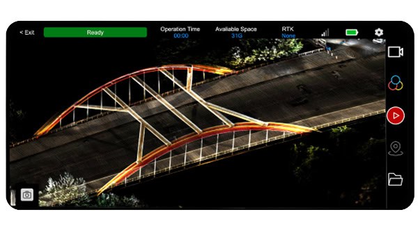
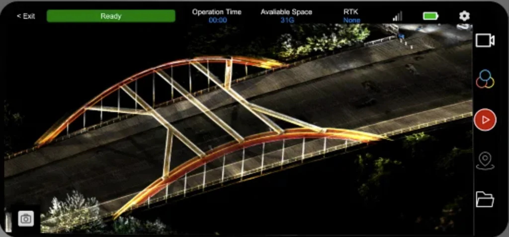
The powerful system offers AI-driven SOTA-SLAM capabilities with 6 TOPS of processing power, trained on hundreds of millions of square meters of real-world data and delivering relative accuracy of less than 1cm. Real-time full-color preview enables operators to ensure that every detail has been captured in full detail while still on-site.
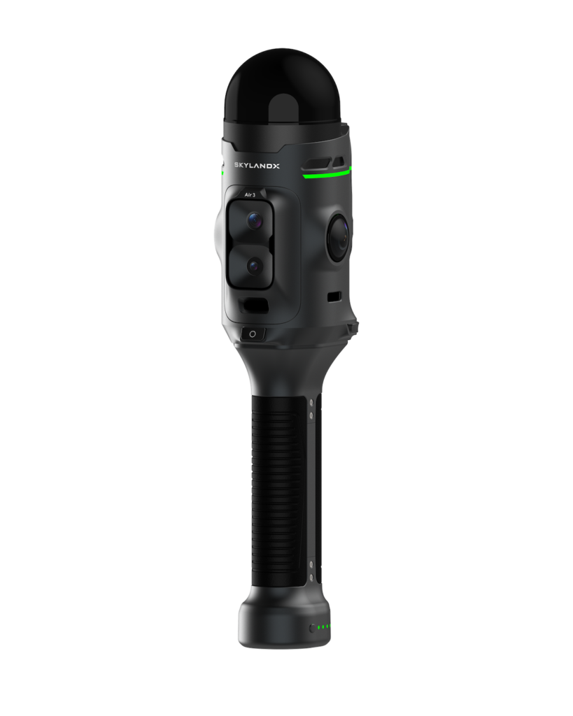
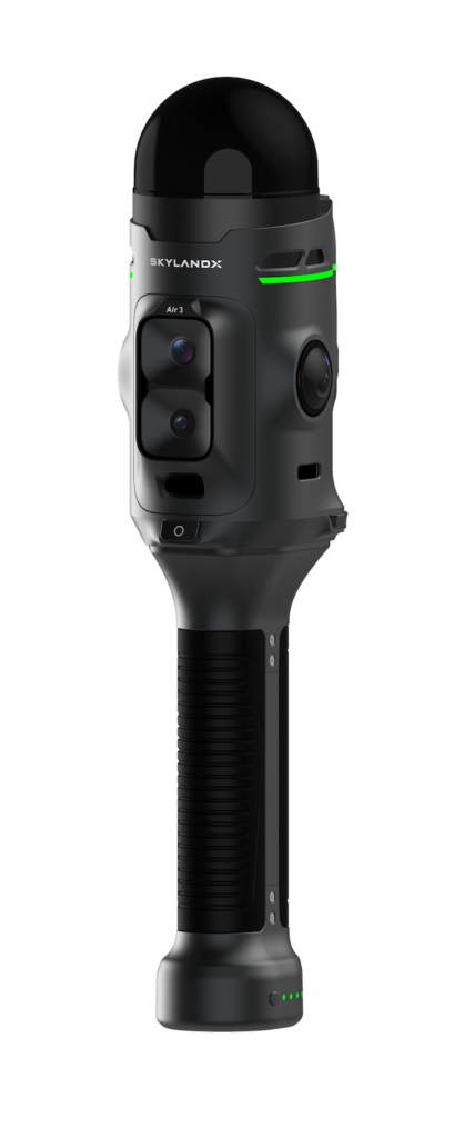 MetaCam Air 3
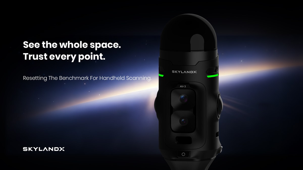
Next-generation handheld reality-capture system built around a self-developed, survey-grade LiDAR
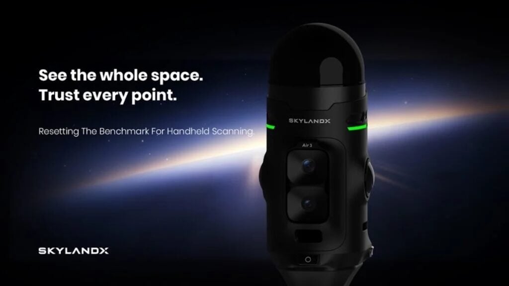
MetaCam Air 3 is SKYLANDX’s next-generation handheld reality-capture system, built around an in-house-developed 360° × 240° LiDAR engineered specifically for survey-grade data acquisition, rather than adapted from automotive or robotics sensors. The wide field of view covers both floor and ceiling in a single pass, while a smaller laser spot and a high point rate deliver denser, more precise point clouds, and dual 50MP panoramic cameras plus a 48MP forward-facing camera add high-resolution visual detail to every scan.
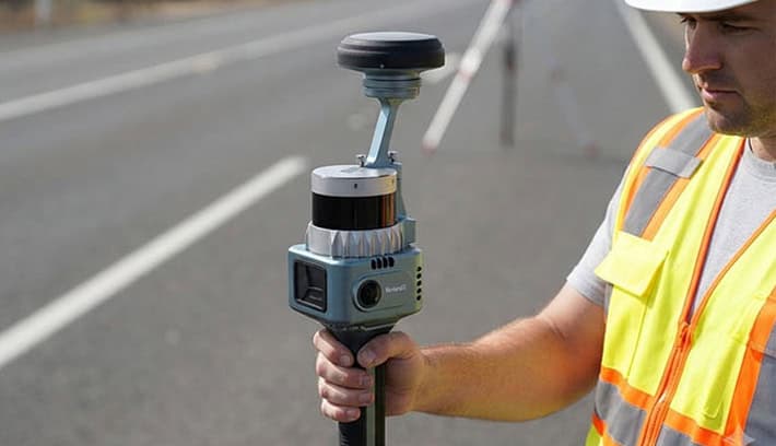
Proprietary SOTA-SLAM and a dedicated global-shutter V-SLAM camera keep tracking stable even in repetitive or feature-sparse interiors. Air 3 supports network RTK, local UHF RTK, PPK, and GCP workflows through a removable RTK module and magnetically attached UHF radio, and its redesigned exterior adds the Mars Ring status indicator and one-button scan start for faster, easier-to-monitor field capture.
MetaCam Lite
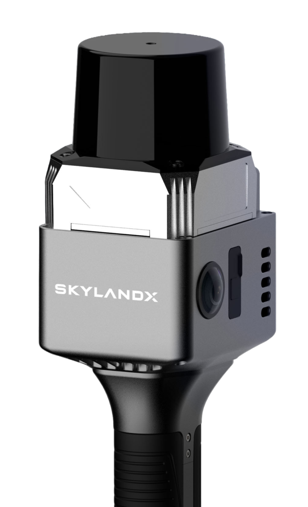
Lightweight handheld LiDAR scanner for short- and medium-range measurement
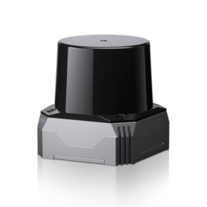
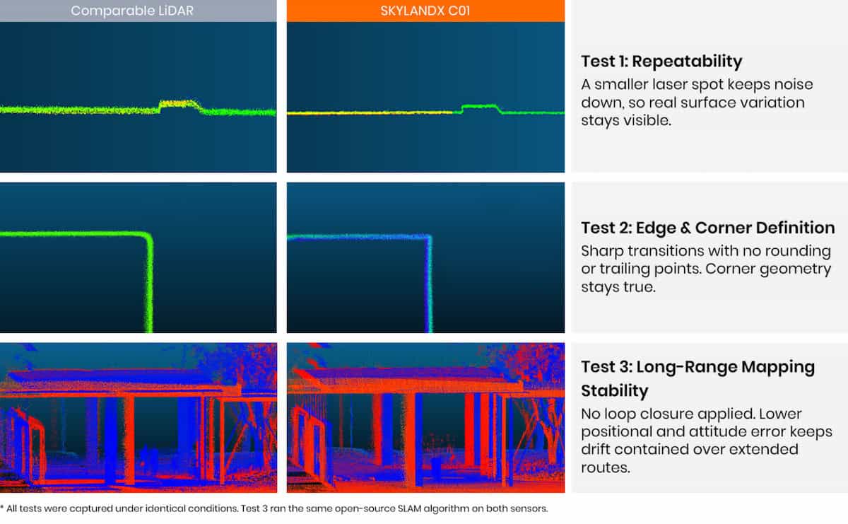
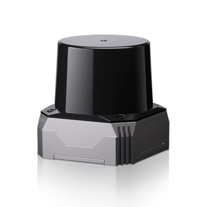
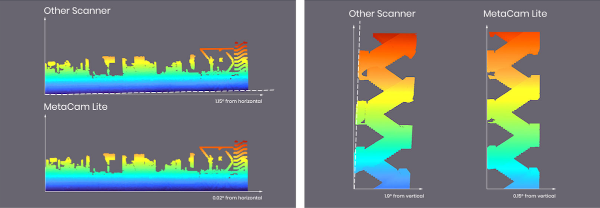
MetaCam Lite is a handheld professional-grade scanning unit that is designed for professional short- and medium-range measurement and is ideal for robotic simulation and mapping applications. The LiDAR module’s smaller laser spot and optimized calibration reduce point distortion and corner noise, improving the reconstruction of edges and fine geometry.
The system offers the same advanced AI-driven SOTA-SLAM capabilities as the MetaCam Air 2, delivering accurate and stable spatial data. Smart scan resumption enables large projects to be undertaken over several sessions with no loss in data quality.
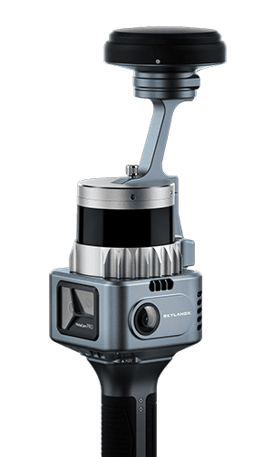
MetaCam Pro
Survey-grade scanning for large and complex environments
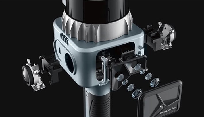
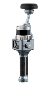
MetaCam Pro is a lightweight survey-grade scanning solution designed for high-density capture across large and complex environments. Encompassing a LiDAR scanner, two panoramic cameras, a dedicated 48 MP high-definition camera and a V-SLAM camera, it can deliver up to 5.24 million points/sec with accompanying visual data for the utmost in detail
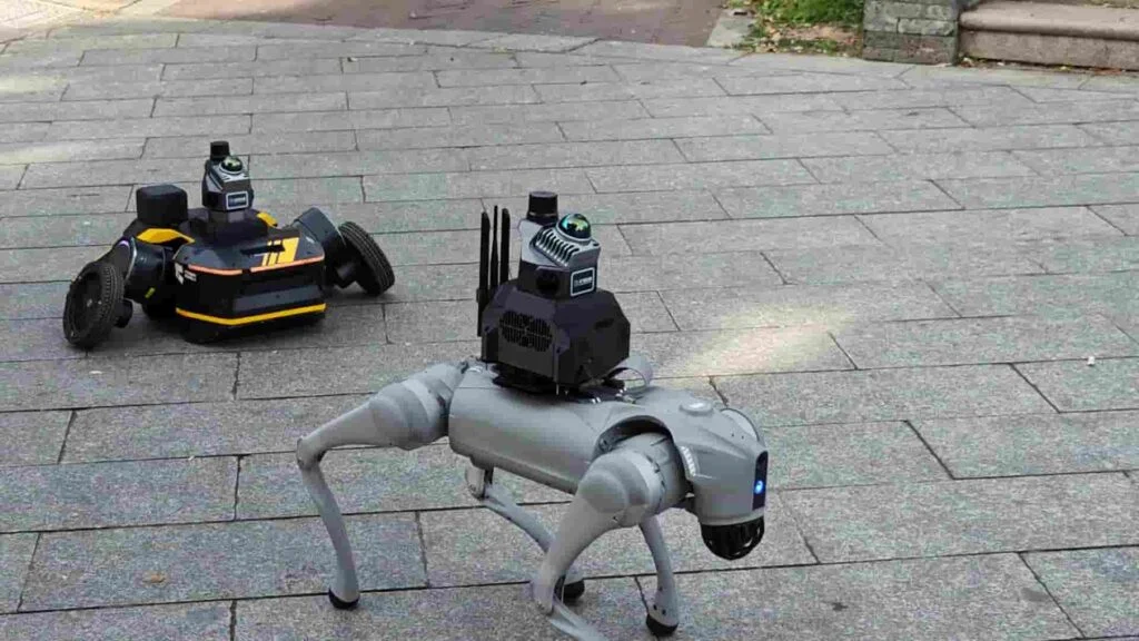
The versatile system provides robust professional-grade results at walking or mobile speeds, and can be easily integrated into a range of robotic vehicles. RTK, PPK and GCP data can be fused with SLAM results to provide drift correction and reliable georeferencing.





 verified