




Deep Trekker SPECTRA
HP MJF for Unmanned Systems
High-Precision LiDAR & SLAM Mapping Solutions for Drones & Autonomous Systems
Skyland Cloud Cloud-native 3D spatial data workflows
Skyland Cloud

Cloud-native 3D spatial data workflows

Visit Website Contact
Saved
Save
Skyland Cloud

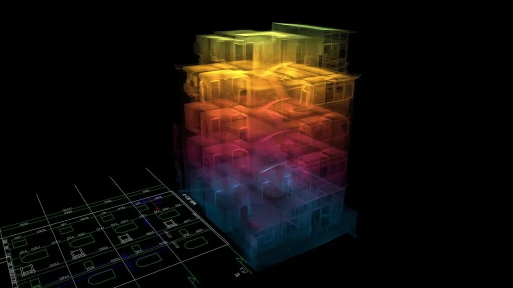
Skyland Cloud from SKYLANDX is a cloud-native spatial intelligence platform for managing 3D spatial data through a unified set of cloud services. It supports fast data upload, cloud-based intelligent processing, web-based visualization, and model rendering, helping teams connect key stages of the spatial data workflow within a single platform.

The platform includes a web-based viewer with high-performance 3D rendering, supports integration with third-party systems, and enables data sharing and collaborative review across teams. These capabilities help users move spatial data from upload through processing, visualization, rendering, and review using connected cloud-based tools.


THE WEEKLY eBRIEF

The latest unmanned systems news, straight to your inbox.

Get our weekly roundup of technology developments, new products and industry news.

By subscribing, you agree to receive the weekly UST eBrief newsletter from EchoBlue Ltd. Unsubscribe at any time using the link in every email. See our Privacy Notice.

Advancing Unmanned Systems Through Strategic Collaboration UST works with major OEMs to foster collaboration and increase engagement with SMEs, to accelerate innovation and drive unmanned systems capabilities forward.



