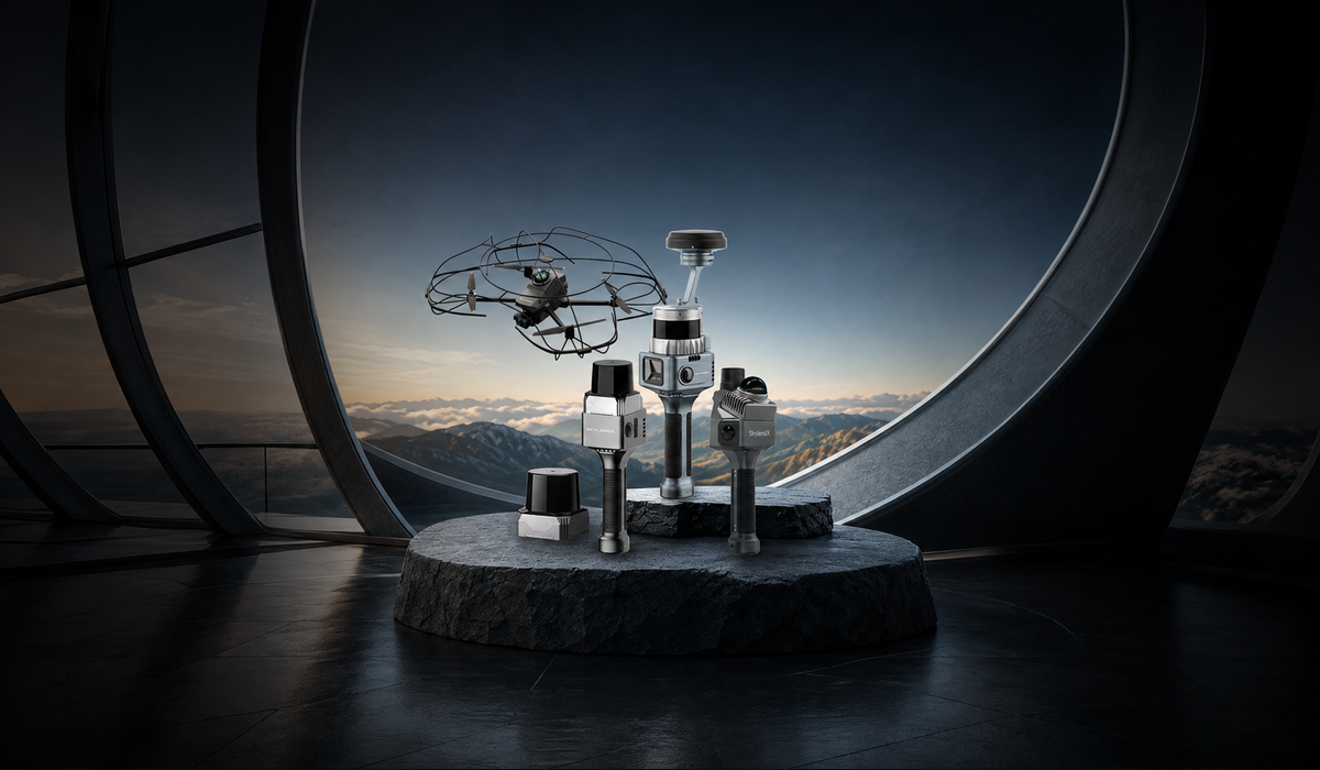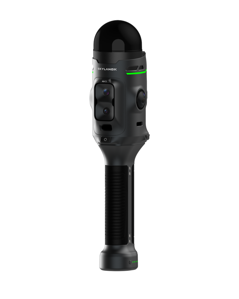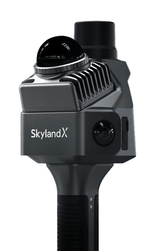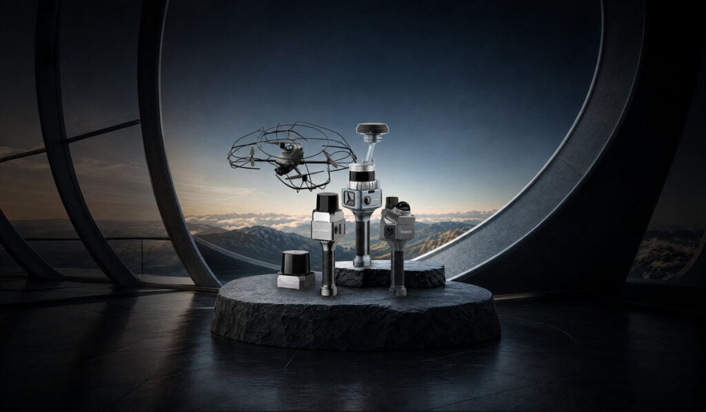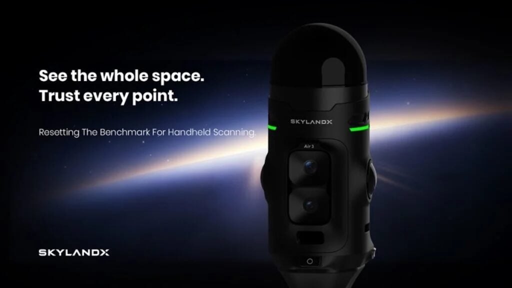
SKYLANDX has introduced the MetaCam Air 3, a next-generation handheld 3D reality-capture scanner featuring an in-house-developed LiDAR engineered specifically for survey-grade data acquisition.
Unveiled at INTERGEO 2026, the new platform builds on the company’s experience delivering over 5,000 devices and supporting more than 1 billion square meters of real-world capture since introducing its integrated handheld 3D scanner in 2023.
Rather than relying on off-the-shelf compact LiDAR sensors designed for general robotics or automotive perception, the MetaCam Air 3 utilizes a 360° × 240° large-field-of-view LiDAR. According to SKYLANDX’s market assessment, Air 3 is said to be the industry’s only handheld reality-capture system to use a self-developed LiDAR designed specifically for survey-grade data acquisition.
The sensor employs a smaller laser spot to support higher measurement precision and finer spatial detail, while a high point rate supports dense surface capture. Its expansive field of view covers floors and ceilings simultaneously in a single pass, eliminating conventional top and bottom blind spots and reducing the need for repositioning or supplementary passes.
Complementing the primary LiDAR sensor are dual 50MP panoramic color cameras offering 1-inch-equivalent imaging performance for broad visual coverage, a separate 48MP forward-facing camera to preserve additional high-resolution detail, and a dedicated global-shutter camera for VSLAM.
To accommodate different job sites, the system supports network RTK through NTRIP, local RTK through UHF, PPK, and ground-control-point workflows. Users can adjust hardware configurations using a removable RTK module and a magnetically attached UHF radio, providing different approaches to high-precision positioning depending on whether network correction services or a local base station are available.
The physical design includes a one-button scan start for fast and direct capture, and a distinctive Mars Ring indicator that provides real-time visual feedback on system status and SLAM accuracy.
Stuart Situ, CTO at SKYLANDX, commented, “We did not design Air 3 around the limits of an existing sensor. We started with the data that survey professionals actually need, then redesigned the core LiDAR and the complete product experience around it. Air 3 advances individual performance while bringing accuracy, coverage, imaging, positioning, and usability together in one platform. Our goal is to keep the complexity inside the system and give users a freer, simpler, and more trusted reality-capture experience.”
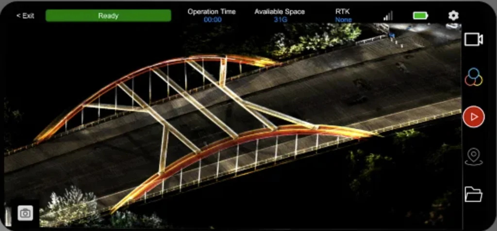
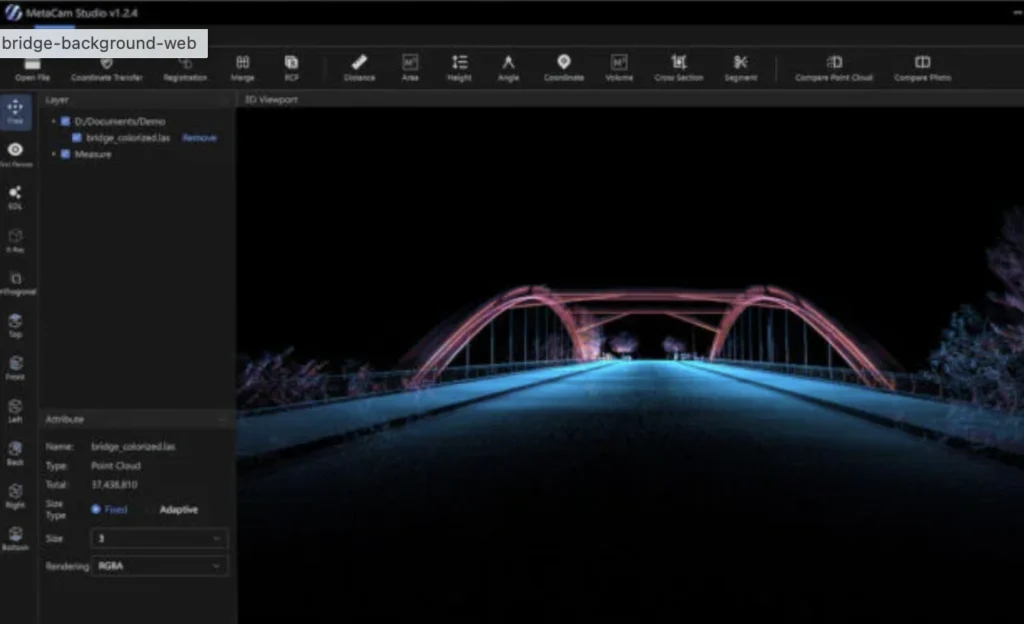
Air 3 integrates with SKYLANDX’s software environment, where captured data can be reviewed, edited, processed, and exported as part of the workflow from field collection through to final spatial-data delivery. The system was introduced at INTERGEO 2026 in Munich, with product configurations, regional availability, and commercial details to be announced separately.