




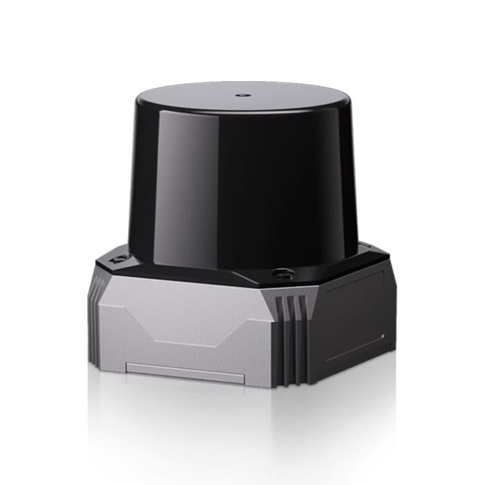
C01 is a compact SLAM LiDAR purpose-built for high-precision localization, mapping, measurement and obstacle avoidance. It combines three-axis longitudinal non-repetitive scanning with a six-axis IMU to provide spatial and motion data for robotic systems.
A small laser spot, rigorous calibration and on-chip time-to-digital conversion generate dense, low-noise point clouds at the hardware level, without relying on algorithmic compensation to correct the sensor data. The C01 records up to 216,000 points/sec in dual-line mode and provides range precision of less than 1 cm at 10 m, enabling rapid detection of fine geometry and small obstacles.
The scanning pattern preserves surface variation and produces sharp transitions at edges and corners. Its 5 cm minimum detection range and 20-degree downward coverage minimize the blind zone around the host platform.
Specifications:
| Dimensions | 73 x 73.75 x 77.8 mm |
| Weight | 420 g |
| Power Consumption | 15 W max |
| Input Voltage | 12 to 30 V DC |
| Maximum Detection Range | 40 m at 10% reflectivity 70 m at 80% reflectivity |
| Minimum Detection Range | 5 cm |
| Field of View | 360 degrees horizontal x 65 degrees vertical (-20 to +45 degrees) |
| Point Rate | 216,000 points/sec dual-line 108,000 points/sec single-line |
| Range Precision | <1 cm at 10 m |
| Angular Resolution | 0.3 degrees horizontal x 0.36 degrees vertical at 1 sec integration 0.15 degrees horizontal x 0.36 degrees vertical at 2 sec integration |
| Scan Rate | 10 Hz typical; up to 30 Hz |





