


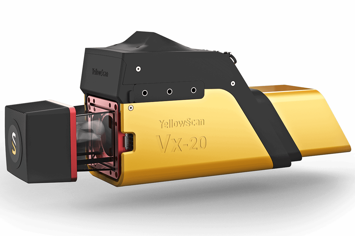
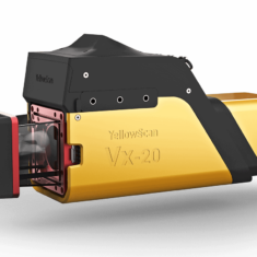
YellowScan Vx20 Series
YellowScan Vx20 is the most accurate, fully integrated, LiDAR UAV mobile mapping system from YellowScan’s product range.
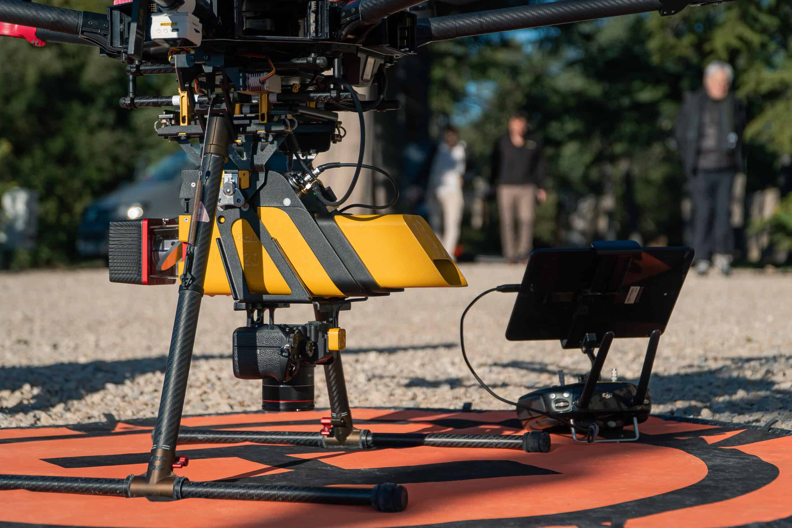
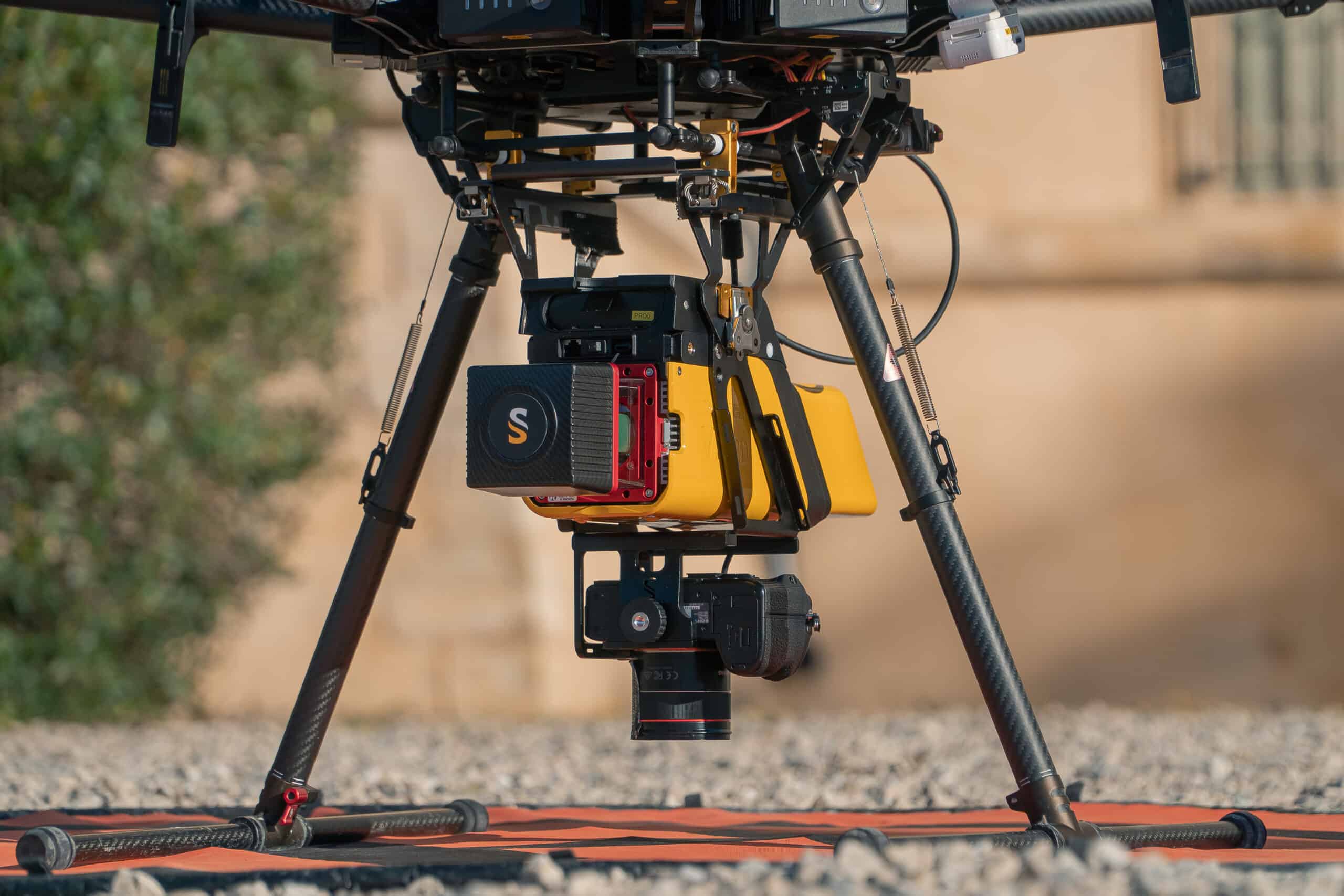
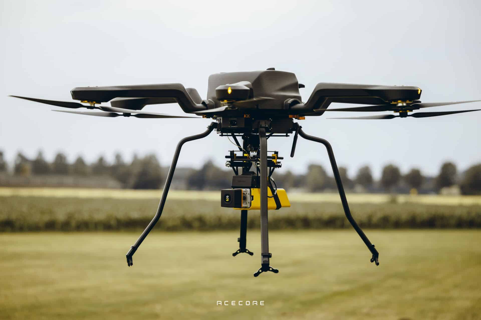
Featuring easy mounting onto VTOL UAVs and unmanned helicopters, the fully integrated, easy-to-use mapping system can operate at altitudes of up to 100m while maintaining accuracy throughout the point cloud.
The compact, lightweight LiDAR package provides sharp, accurate detail for demanding mapping and surveying targets such as uneven landscapes and vegetation.
System integration options- Vx20-100 Scanner: RIEGL miniVUX-1UAV
- Vx20-300 Scanner: RIEGL miniVUX-3UAV
- YellowScan Vx20-100 / 300
- Rugged pelicase
- Charger and 2 batteries
- GNSS antenna and cable
- 2 USB flash drives
- Documentation
- Applanix POSPac UAV software to post-process GNSS and inertial data for highest accuracy
- YellowScan CloudStation software to generate and visualize your georeferenced point cloud
- 1-year unlimited technical support
- 1-year warranty
- In-person or online training
- Boresight calibration certificate
| Precision | 1 cm |
| Accuracy | 2.5 cm |
| Echoes per shot | Echoes per shot |
| Laser wavelength | 905 nm |
| GNSS-Inertial solution | Applanix APX-20 UAV |
| Shots per second | 100k over 360° |
| Scanner field of view | 360° |
|
Operating Flight Altitude AGL natural targets ≥ 20% |
100m |
|
Average point density @50m AGL, 5m/s, 90°FOV |
50pts/sqm |
| Weight | 2.84 kg (6.25 lbs) battery included |
| Size | L 43 x W 11 x H 17 cm |
| Autonomy | 1.5 hours typ. |
| Power consumption | 25 W |
| Operating temperature | -20 to +40 °C |


