YellowScan has expanded its Access rental ecosystem by integrating satellite-derived data services from EOMAP, enabling survey operators to evaluate environmental conditions before deploying drone LiDAR hardware in the field.
The integration provides a complementary workflow designed for coastal, inland water, environmental, and infrastructure projects. By leveraging satellite data prior to fieldwork, organizations can conduct initial project site assessments, identify potential opportunities and challenges, and optimize data acquisition campaigns before committing field personnel and equipment.
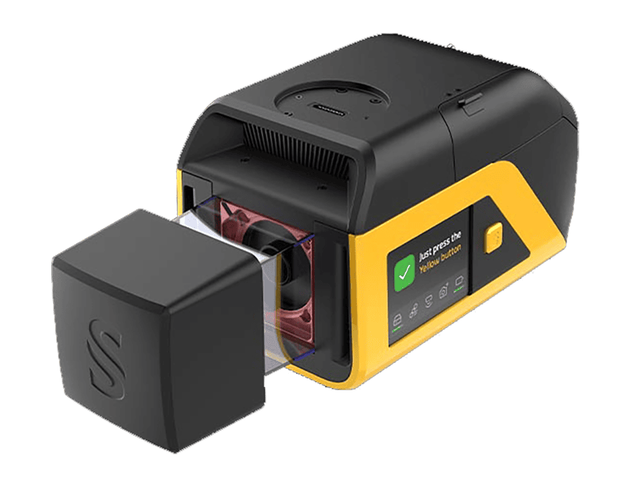
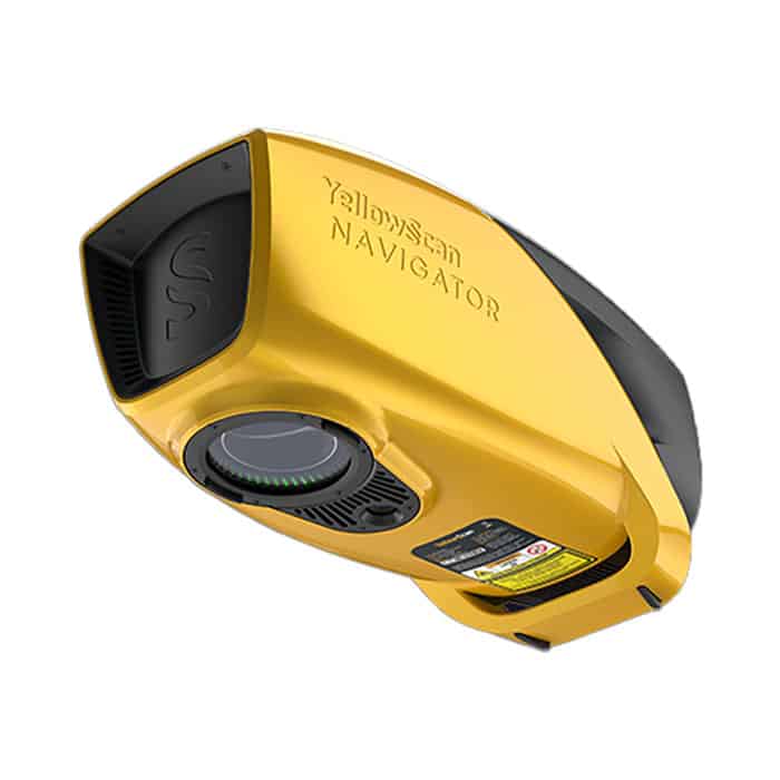
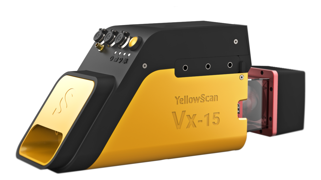
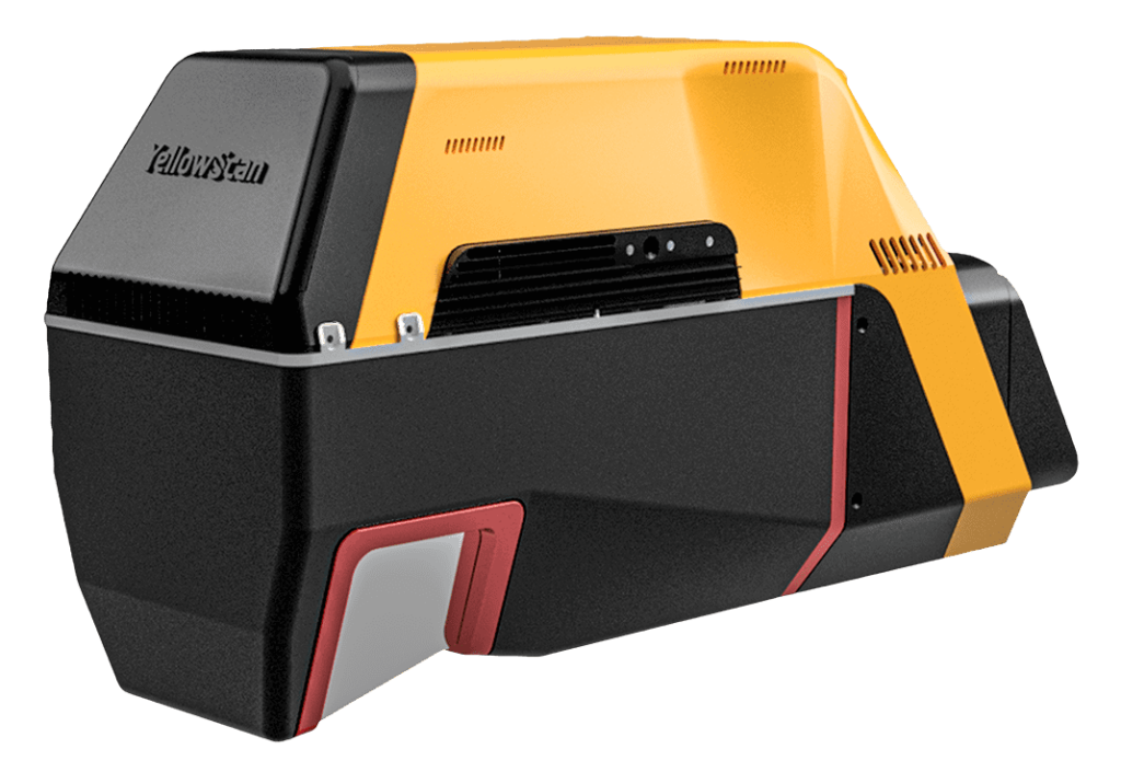
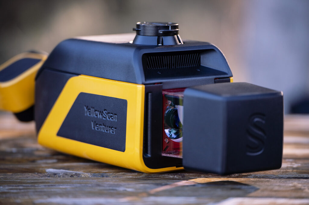
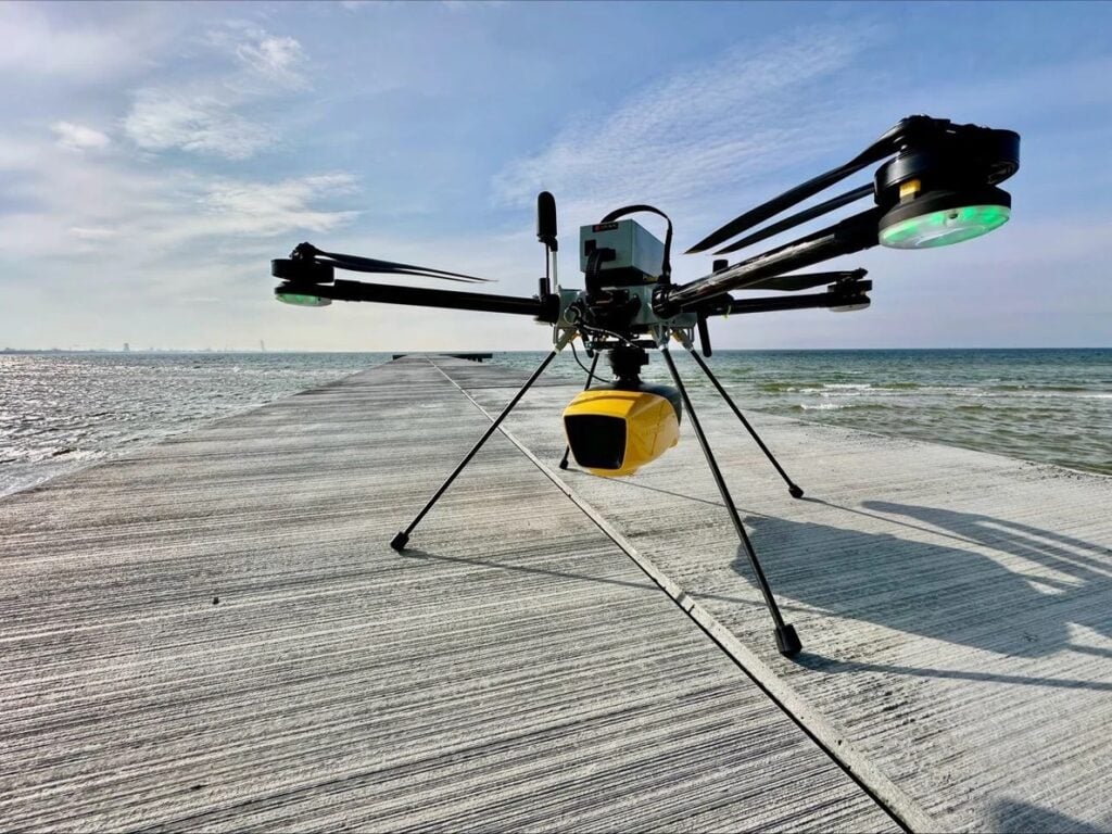
YellowScan Access operates as a flexible service allowing organizations to rent high-performance LiDAR mapping systems without requiring significant capital investment. The offering covers hardware, software, technical support, insurance, and training to support quick deployment. Supported systems include the YellowScan Navigator for bathymetric applications, alongside the Voyager, Surveyor Ultra, and Mapper Ultra systems for topographic surveying missions.
“YellowScan Access was created to make advanced geospatial technologies more accessible while helping customers reduce project complexity,” said Philippe Charles, Chief Commercial and Marketing Officer at YellowScan. “The addition of EOMAP services brings an extra layer of intelligence to the decision-making process, enabling customers to better evaluate a site before deploying resources in the field.”
A key operational benefit centers on predicting environmental variables that impact data collection quality, especially in aquatic environments where conditions can fluctuate considerably over time.
“Well in advance of mobilization, EOMAP’s satellite-derived data informs customers about the expected water clarity at a survey site throughout the year. They can therefore plan their LiDAR campaign for the time with the best expected conditions,” said Philipp Bauer, Product Owner of eoapp AQUALITE at EOMAP. “Making this tool available through YellowScan Access helps customers to plan and conduct their surveys successfully.“
By incorporating third-party analytical services directly into the rental framework, the platform aims to provide actionable site intelligence that mitigates operational uncertainty, refines project workflows, and improves overall survey outcomes.