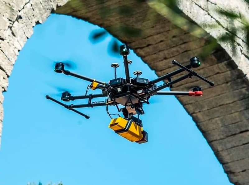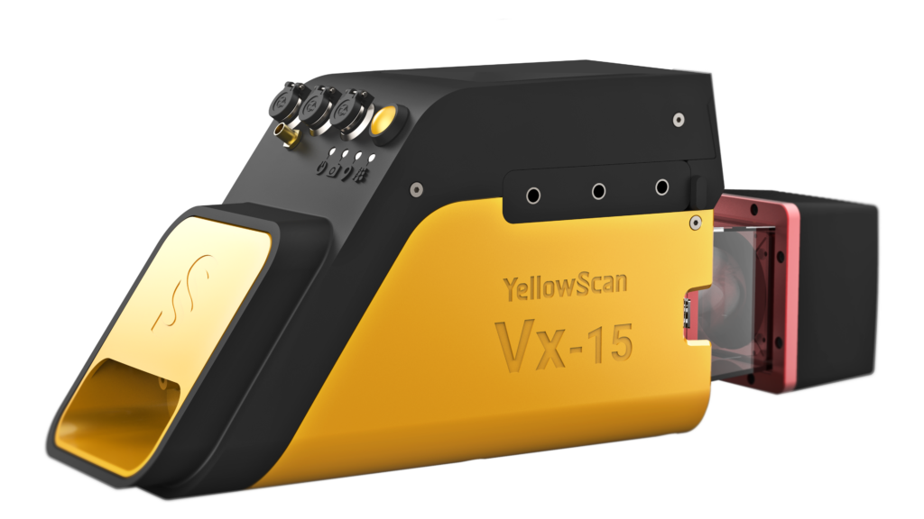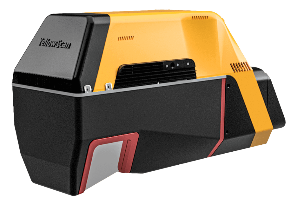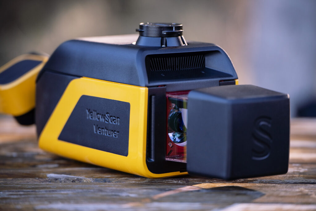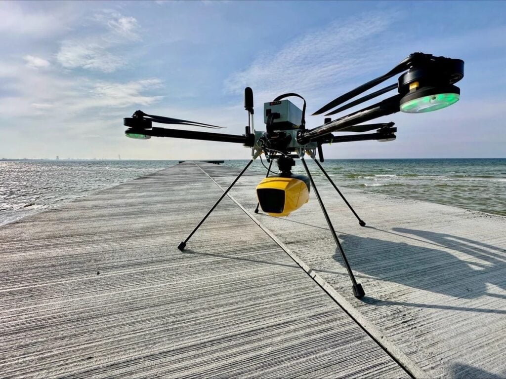

YellowScan has introduced YellowScan Access, a rental program providing temporary use of its drone-mounted LiDAR systems for project-specific requirements.
The service is intended for organizations that need additional LiDAR capacity for a limited period, want to evaluate aerial LiDAR before purchasing equipment, or require a system for a particular project or tender.
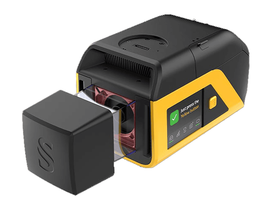
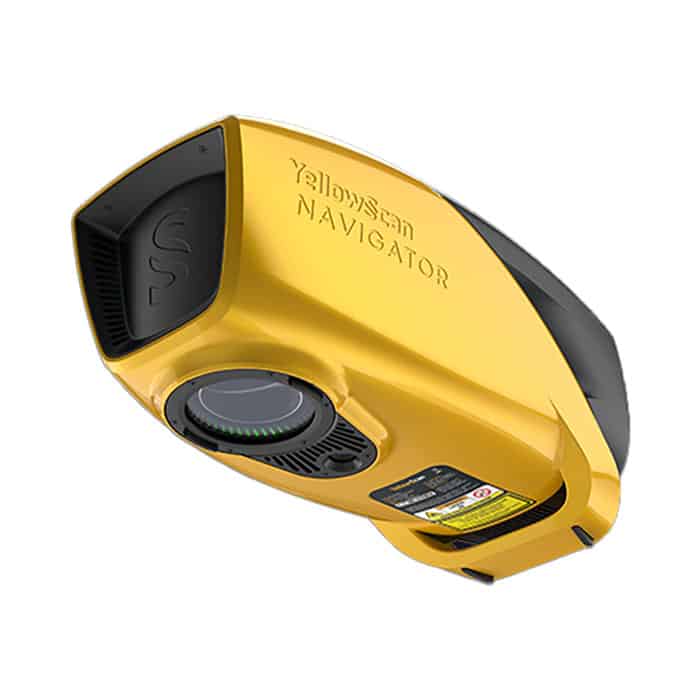
Available rental systems include the YellowScan Navigator, Mapper Ultra, Surveyor Ultra, and Voyager, with systems available for topographic and bathymetric applications. YellowScan assesses each project according to factors including terrain, UAV platform, required accuracy, location, and rental duration before recommending and configuring a suitable system.
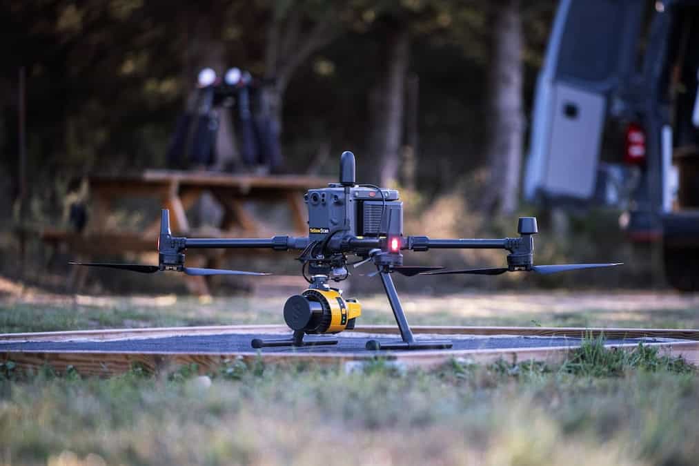
Rental equipment is tested, calibrated, updated, and configured for the customer’s drone before shipment. The package includes the required accessories, technical support, transportation, insurance, and online training.
Customers can request rental periods ranging from less than one week to more than three months. YellowScan Access is available across most of Europe, excluding the UK, Switzerland, and Norway.
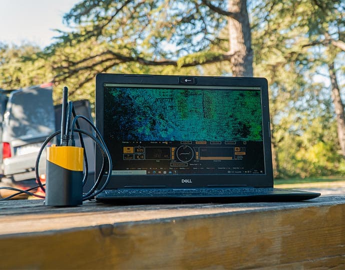
YellowScan will also attend INTERGEO 2026 in Munich from September 15-17. The company plans to demonstrate YellowScan CloudStation for point-cloud visualization and generation and provide a preview of the YellowScan Navigator, its latest innovation in bathymetry.
Visitors will also be able to discuss YellowScan Access and the company’s LiDAR solutions with the team during the event.