





Showcase your capabilities
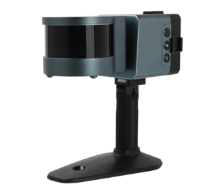
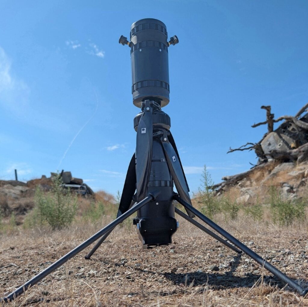
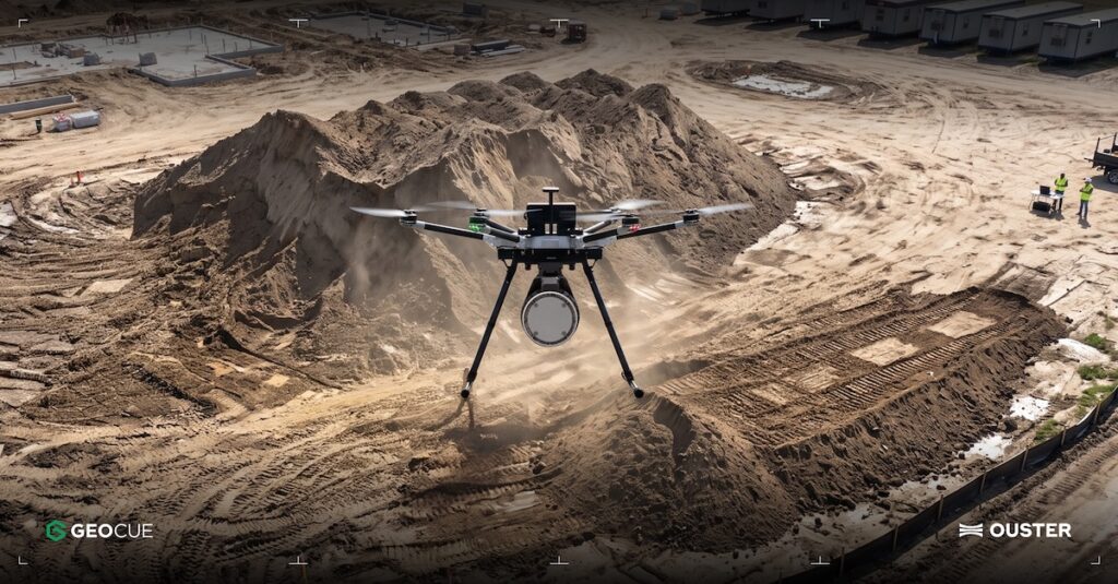
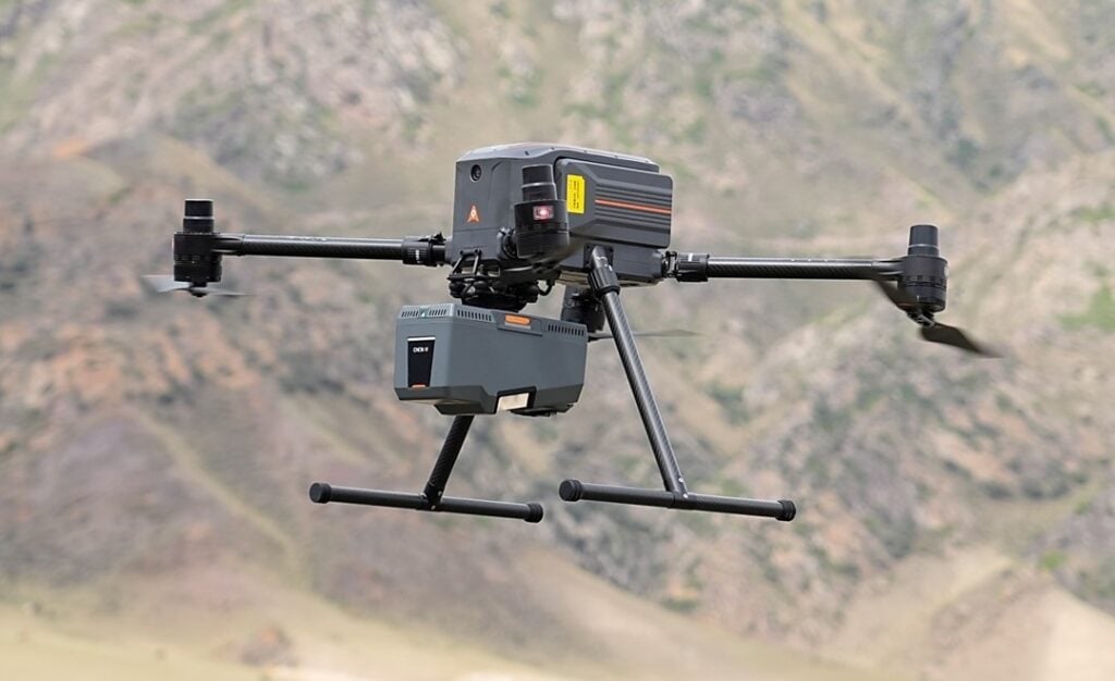
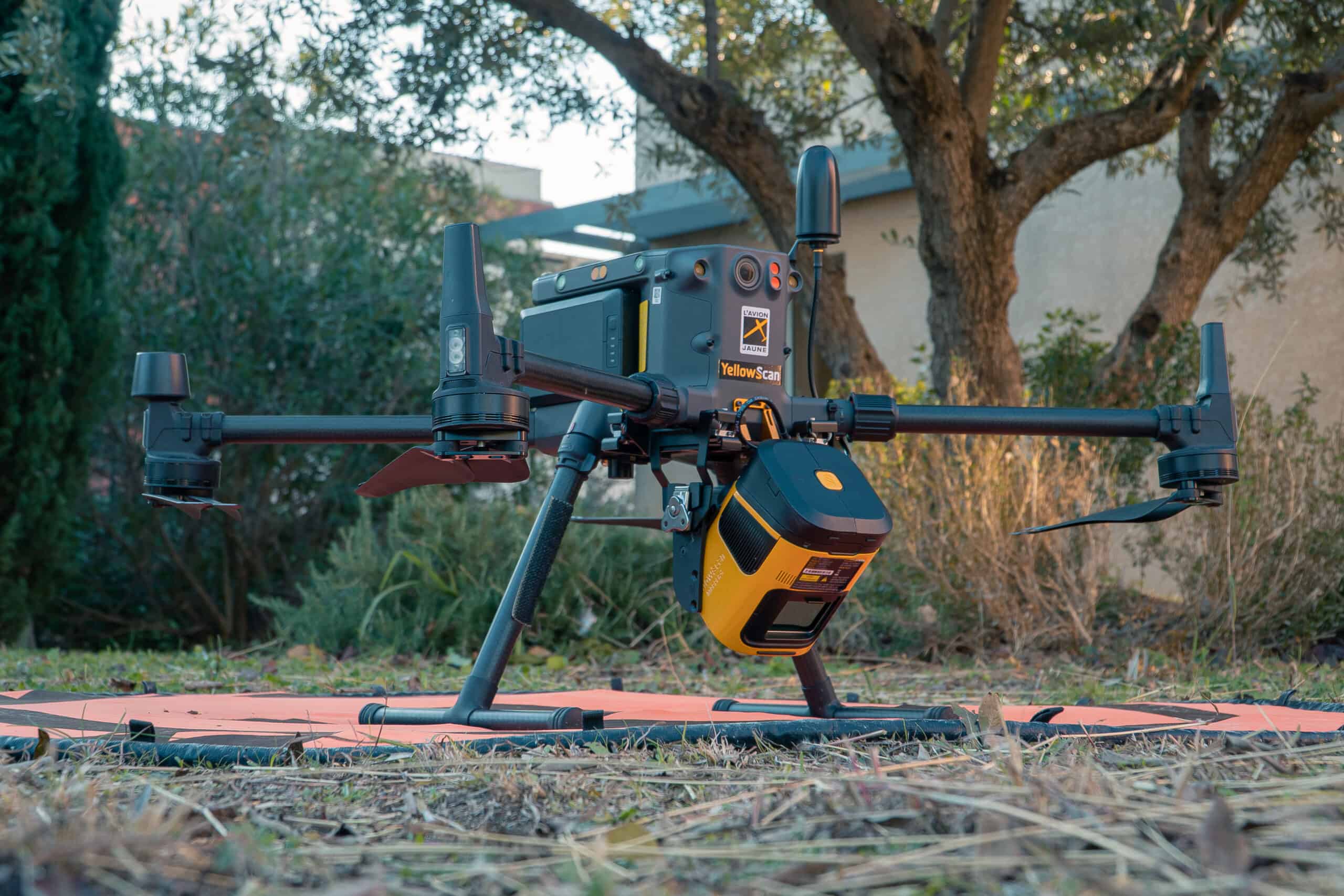
If you design, build or supply LiDAR for Aerial Survey and Mapping, create a profile to showcase your capabilities and connect with visitors who have an active requirement for your solutions.