


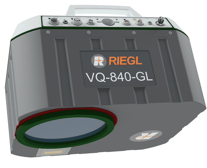
The RIEGL VQ-840-GL is a high-performance laser scanner for combined airborne topographic and bathymetric surveying. Lightweight materials and state-of-the-art design have resulted in a weight of less than 10 kg (22 lbs), making the system ideal for UAV integration.
The scanner uses a visible green laser that can penetrate water, allowing measurement of submerged targets. Digitized echo waveforms can be stored on a removable data storage card for later full waveform analysis, allowing users to capture targets with complex multiple-echo signals. The unit can also be integrated with an inertial navigation sensor and a high-resolution digital camera for further accuracy and functionality.
The RIEGL VQ-840-GL is ideal for a range of applications, including coastline and shallow-water mapping, engineering surveys, and river surveys.
| Dimensions | 358 x 292 x 202 mm |
| Weight | ~9.8kg |
| Power Supply | 18 – 34 VDC |
| Laser Pulse Repetition Rate | 50 – 200 kHz |
| Scan Speed | 10 – 100 scans/sec |
| Accuracy | 20mm |
| Precision | 15mm |


