
Showcase your capabilities
If you design, build or supply UAV/Drone Cameras, create a profile to showcase your capabilities and connect with visitors who have an active requirement for your solutions.


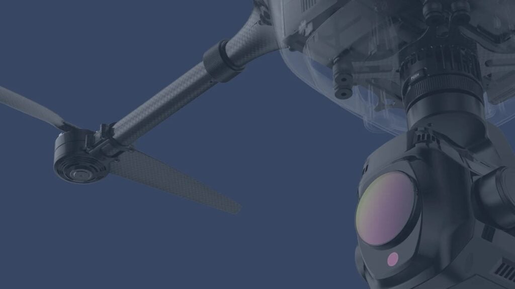
Drone cameras represent a technological breakthrough in unmanned aerial systems (UAS), enabling unparalleled data collection and visualization across diverse applications. From construction site monitoring and powerline inspections to military reconnaissance and tactical surveillance, these systems integrate cutting-edge imaging technologies to meet the demands of modern industries. Drone camera technologies like MWIR (medium-wave infrared), SWIR (short-wave infrared), and hyperspectral imaging expand the boundaries of what drones can achieve. These innovations deliver superior performance in challenging environments, enhancing mission success in fields such as environmental monitoring, disaster response, and border security. As industries adopt drone cameras for precision, efficiency, and safety, these tools continue to redefine possibilities across the commercial, industrial, and military sectors.
Read the Technology Overview
Advanced VTOL & Fixed-Wing UAVs | State-Of-The-Art Technologies for Unmanned & Autonomous Aircraft
Multi-Sensor Imaging Gimbals, Searchlights and VMS Software for Air, Land & Maritime Platforms

UAV Gimbal Payloads - EO & EO/IR Drone Camera Gimbals for Tactical UAS

Pioneering Ground Control Stations (GCS), Gimbals & Tactical Solutions for Unmanned Systems & Defense Robotics
High-Performance Remote Sensing Solutions for Delivering Accurate Aerial Insights
Long-Endurance Fixed-Wing & Hybrid VTOL UAVs | UAV Payload Camera Systems | Power Systems
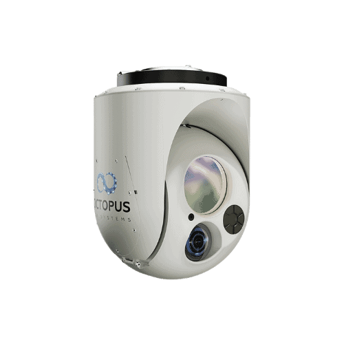
Software-Enabled Gyro-Stabilized Gimbal Systems for UAVs, Unmanned Systems, & Counter-Drone Applications
Edge AI Video Processing & Streaming Solutions Providing Real-Time Situational Awareness for Mission-Critical UAVs & Unmanned Systems
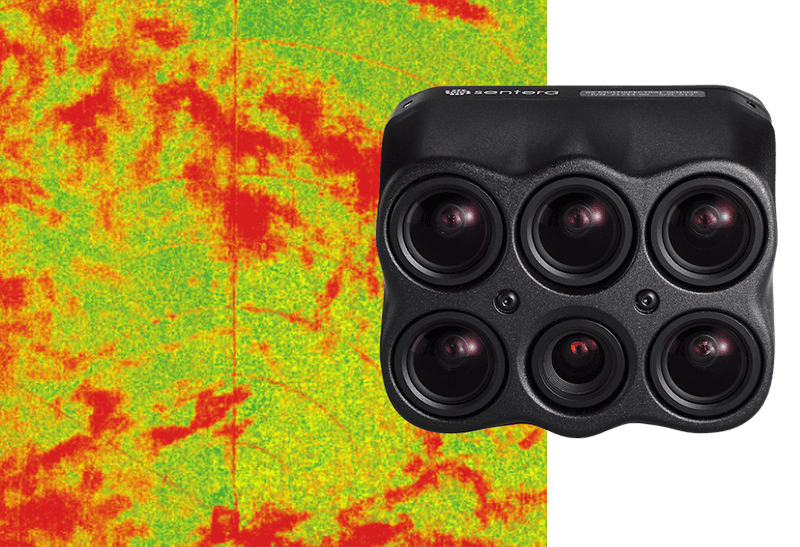
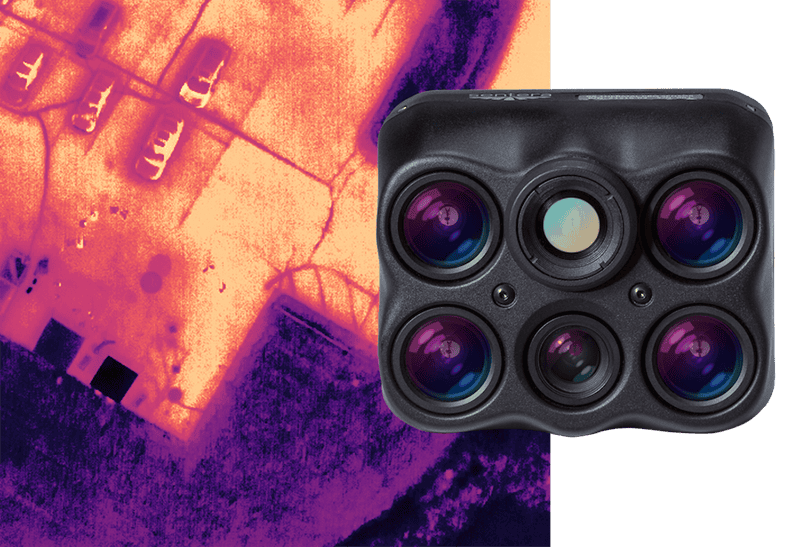
Cutting-Edge Hyperspectral Camera Solutions - Critical Real-Time Insights for UAV-Based Applications
SWIR Cameras & Sensors for Infrared Imaging Applications With Drones & Unmanned Systems
High-Performance Infrared Cameras & Cores for Surveillance & Monitoring with Drones & Robotics
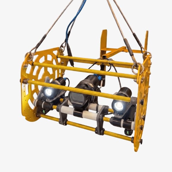
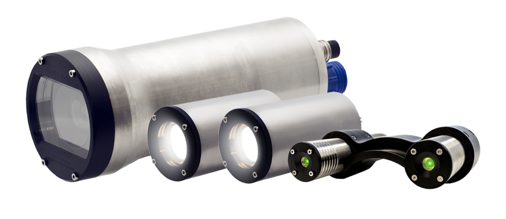
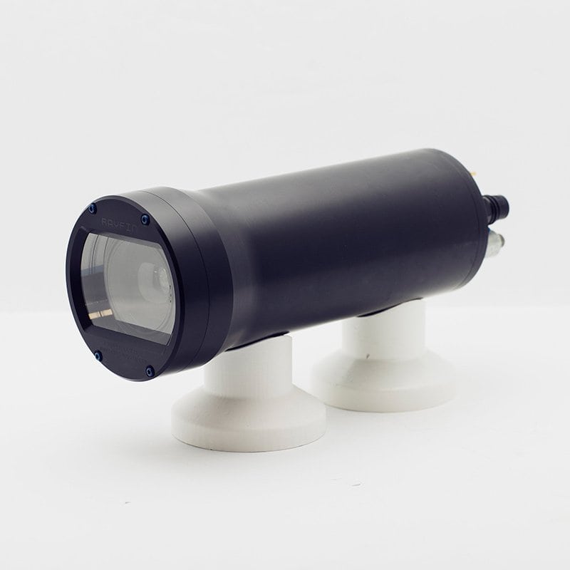
Cutting-Edge Underwater Imaging Systems & Remote Operations Solutions For Subsea Inspection
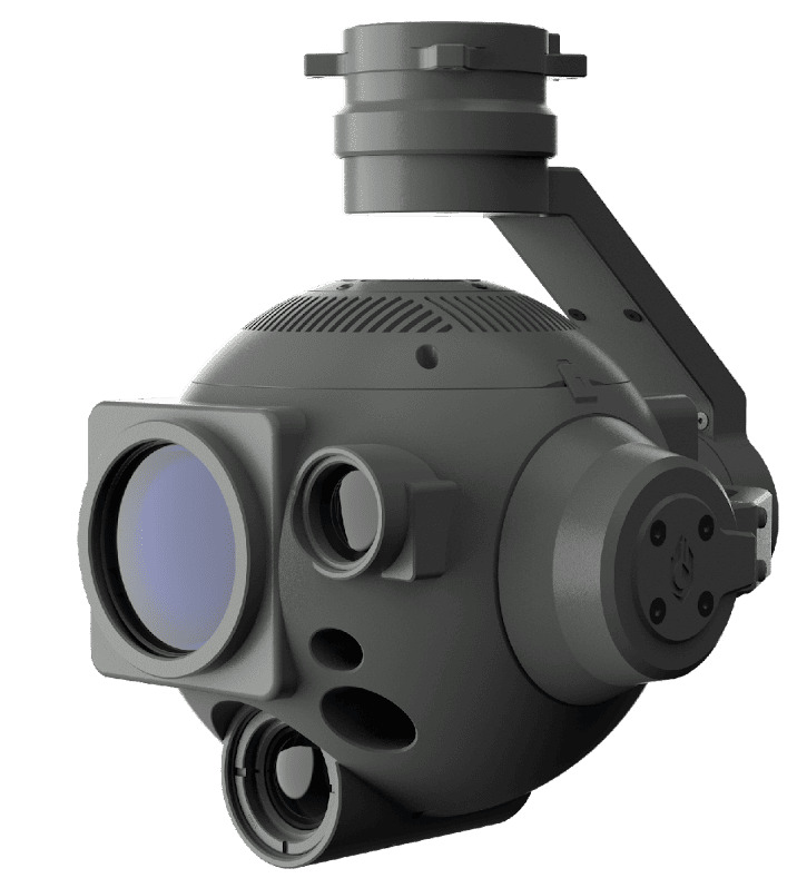
Miniature Two-Axis Gyro-Stabilized EO/IR Payloads for Commercial & Defense Applications


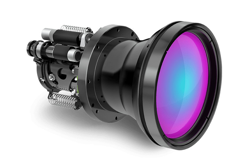
High Performance Infrared Zoom Lenses for UAVs and Drones: Low-SWaP, Extended-Range, Ruggedized Lenses

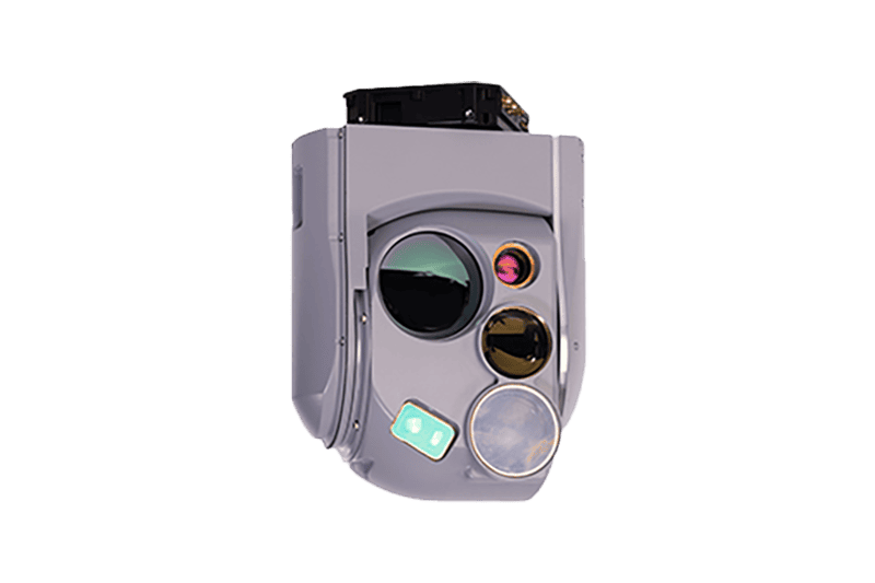
Cutting-Edge Electro-Optical & Infrared Imaging Gimbals for Advanced UAV ISR & Targeting
Advanced Imaging & Sensor Autonomy for Time-Critical Airborne Intelligence Missions
Innovative NDAA-Compliant Drone Hardware Solutions & Engineering Services

Ultra-Reliable Rugged Hardware Solutions for Mission-Critical UAVs & Unmanned Systems Operating in Extreme Environments
GNSS Positioning & Navigation Systems, Mobile Mapping UAV LiDAR & Unmanned Surface Vehicles
If you design, build or supply UAV/Drone Cameras, create a profile to showcase your capabilities and connect with visitors who have an active requirement for your solutions.

Drone cameras are a powerful blend of innovation, versatility, and functionality. They serve as the eyes of UAV systems. Equipped with high-resolution imaging sensors and tailored technologies, they capture detailed visuals across the electromagnetic spectrum.

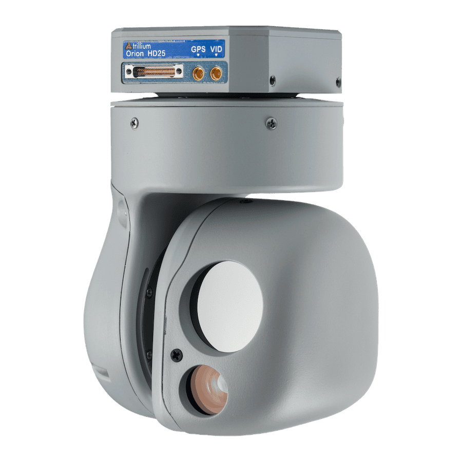
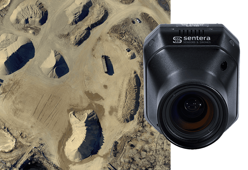
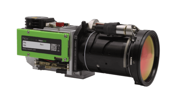
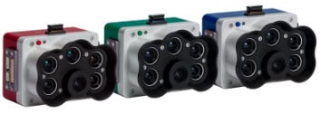
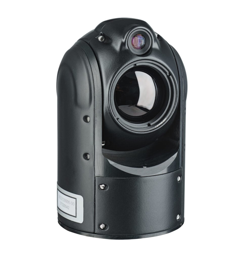
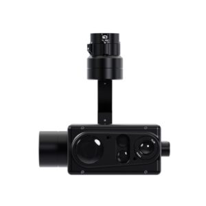
HD45 Drone Camera by Trillium Engineering
Each camera technology offers unique capabilities tailored to specific applications. Below are the main types of drone camera technologies and their features:
RGB (red, green, blue) cameras provide vibrant color imaging and are the most common type of drone cameras. They are ideal for aerial photography, videography, real estate marketing, and infrastructure inspection. With high megapixel resolutions and adjustable focal lengths, these cameras capture detailed images for commercial and industrial use.
Thermal cameras detect infrared radiation emitted as heat, enabling visibility in complete darkness or through smoke, fog, and other obscurants. These are critical in:
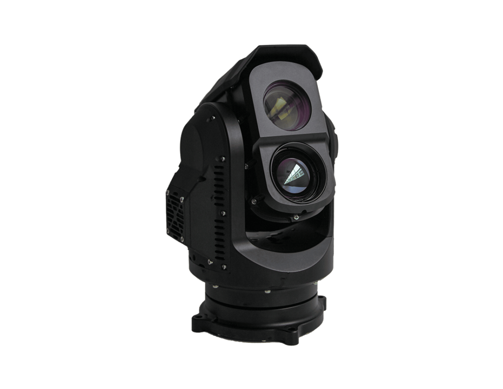
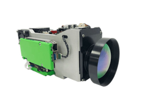
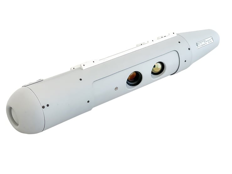
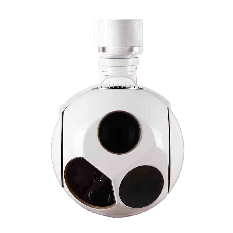
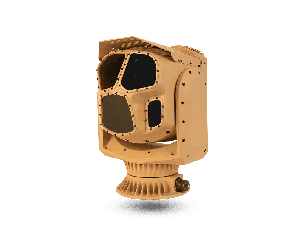
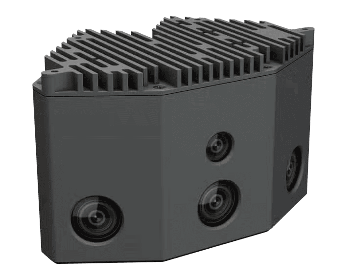
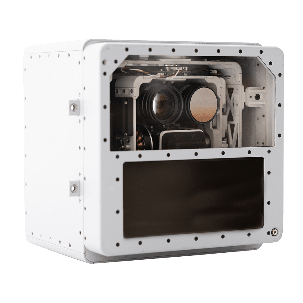
Multiple application payload camera by Edge Autonomy.
MWIR cameras excel at detecting temperature variations in mid-range wavelengths. Commonly used in:
SWIR technology enables imaging through smoke, haze, and even certain fabrics. These cameras are widely utilized in:
Military-grade drones for covert operations and target identification.

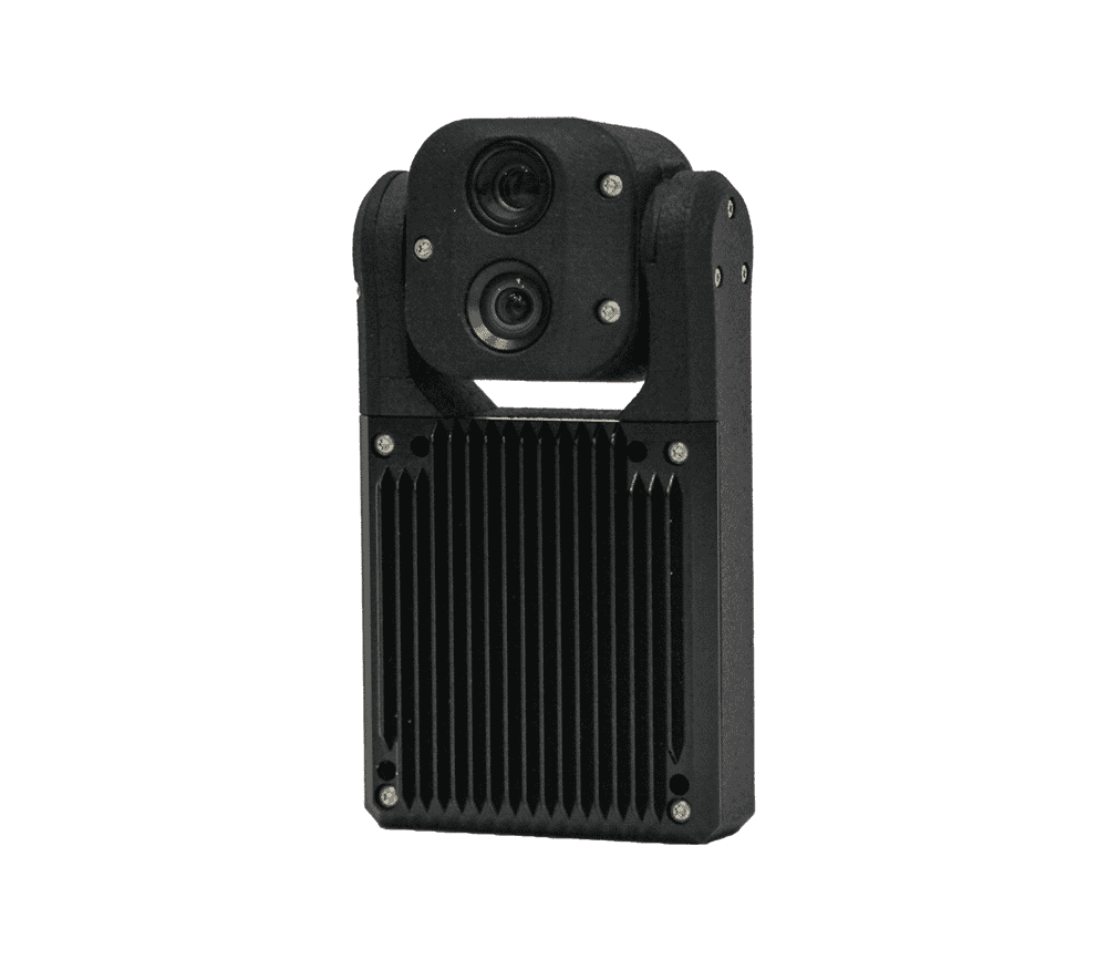
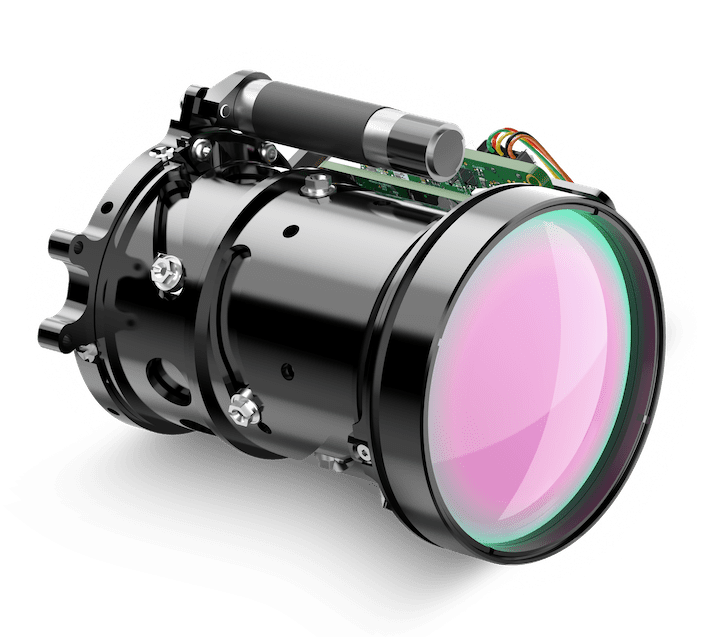
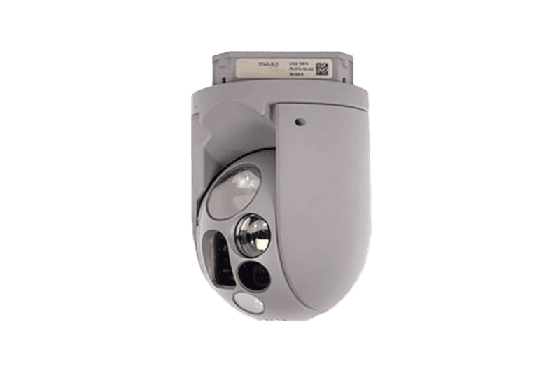
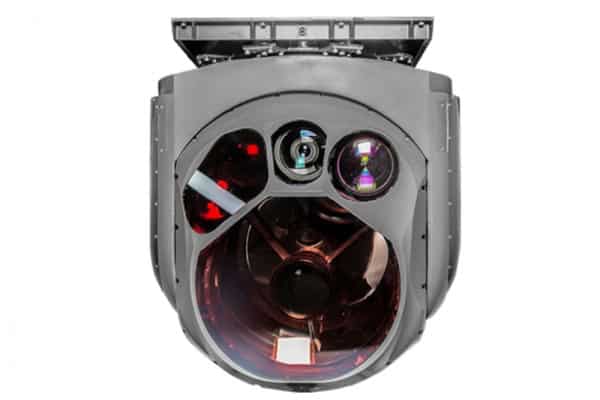
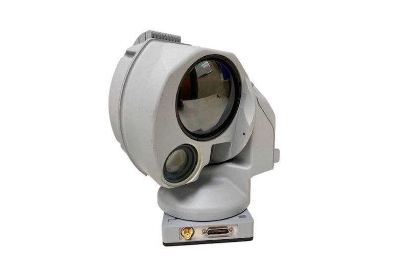
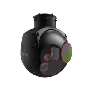
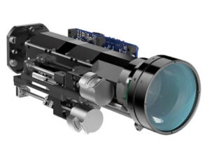
Optroxa GMB-450 UAV Camera by UXV Technologies
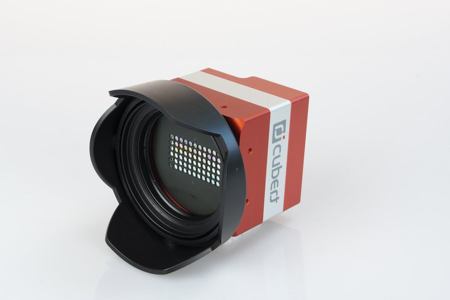
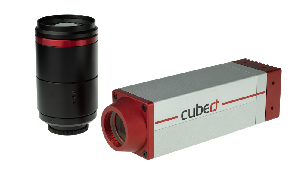
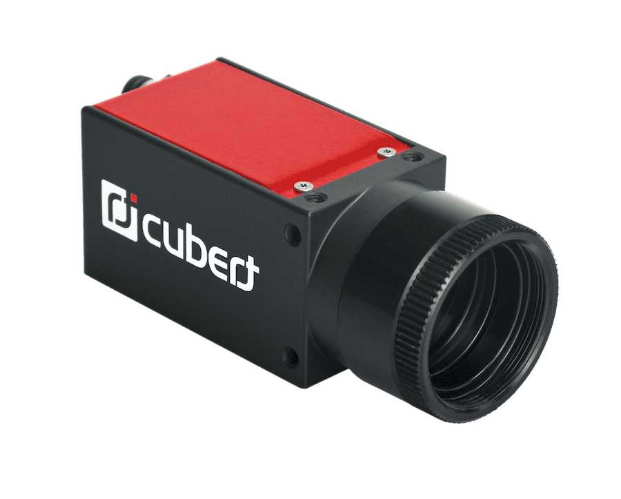
Hyperspectral cameras analyze a wide spectrum of light, providing data beyond visible wavelengths. Applications include:
Multispectral cameras focus on specific wavelengths, often capturing 4-10 spectral bands. They are indispensable in:
Designed for low-light environments, night vision cameras rely on near-infrared (NIR) technology to amplify available light. They are widely used in:
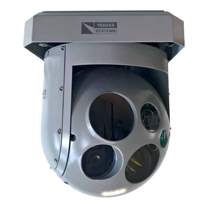
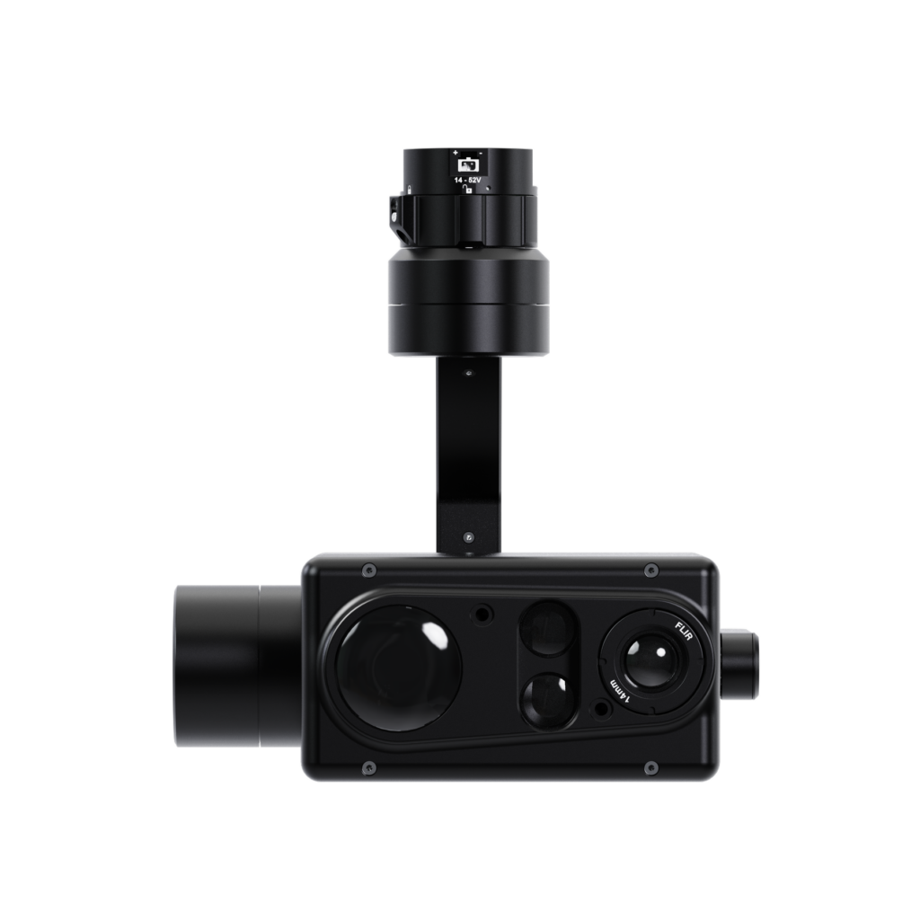
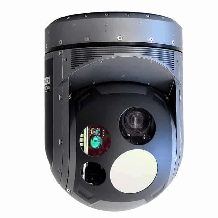
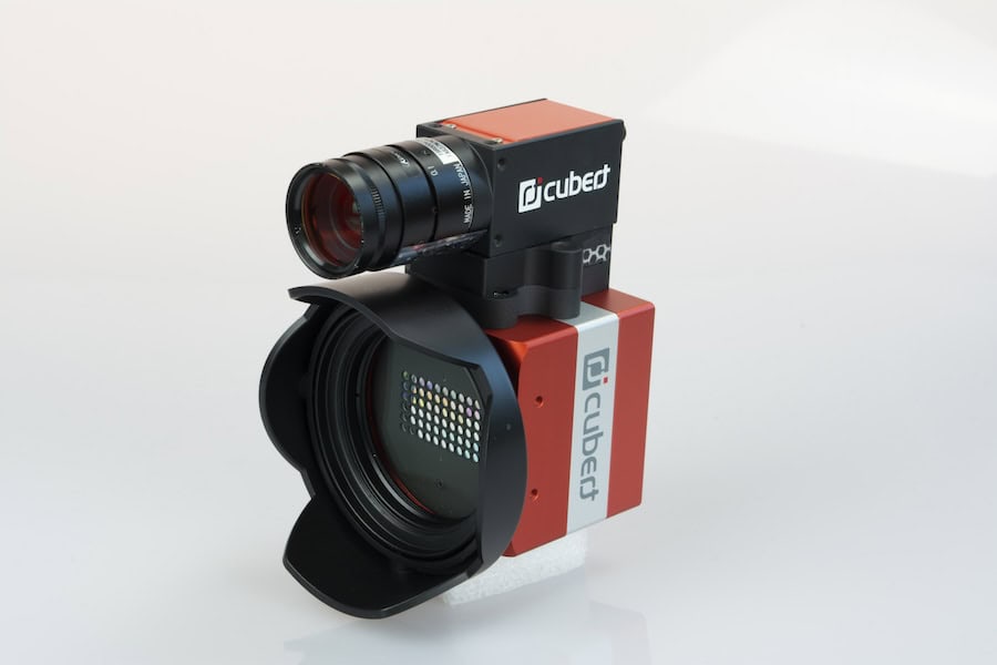
Lightweight EO/IR aerial imaging system from Trakka Systems.
Ultraviolet cameras capture ultraviolet light, which is invisible to the human eye. These are particularly effective in:
Stereoscopic cameras capture 3D imagery by combining data from two lenses. This technology is used in:
Drone cameras are transforming industries by delivering high-quality data for decision-making and planning.
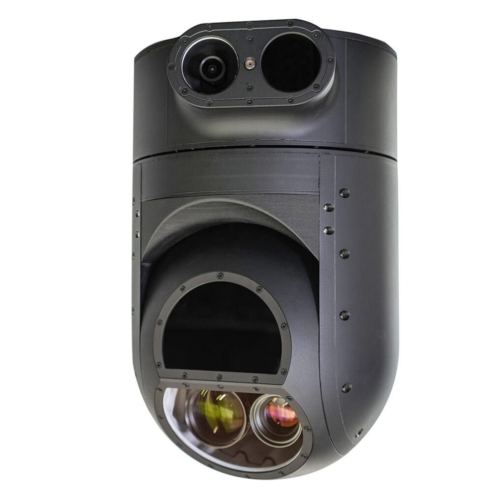
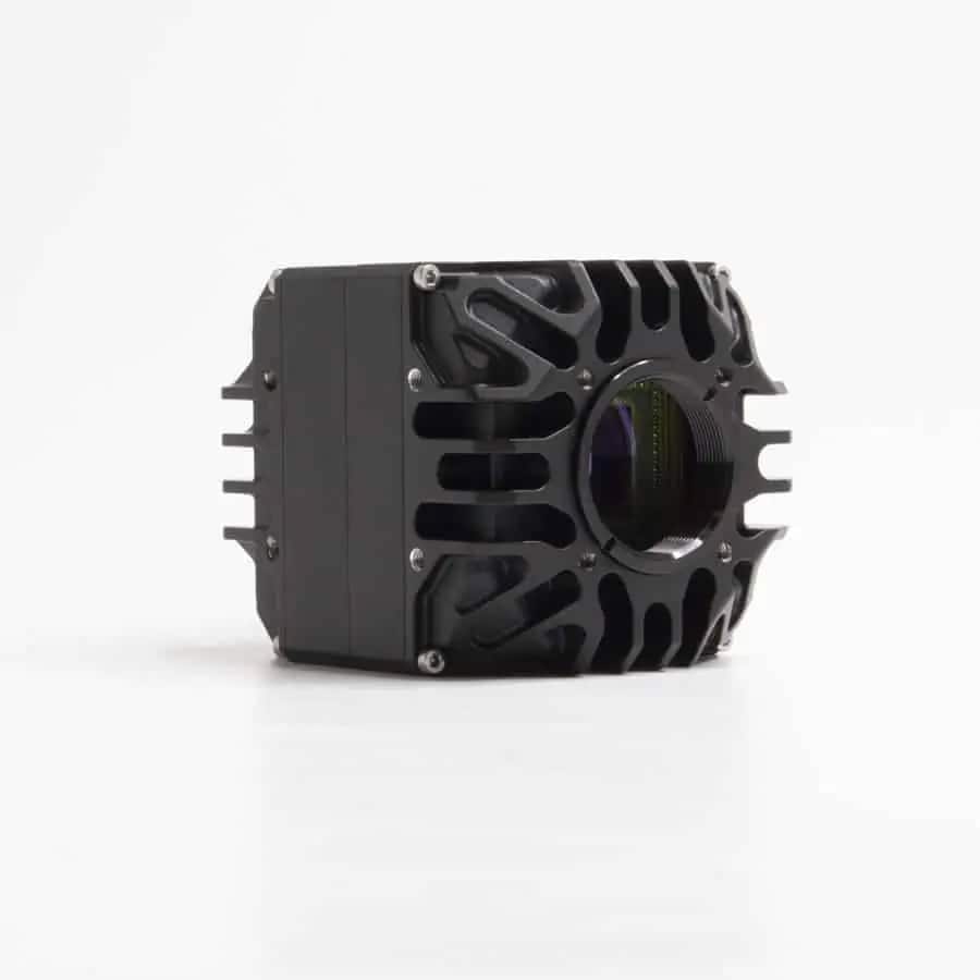
Thermal imaging payload with laser rangefinder from Gremsy.
Industrial operations rely on drone cameras to improve safety and efficiency.
In military and tactical operations, drone cameras deliver critical intelligence.
Innovative advancements are transforming the capabilities of drone cameras, enabling them to meet increasingly complex demands. One significant development is the integration of artificial intelligence, where machine learning algorithms empower cameras to detect, classify, and track objects automatically. This automation enhances operational efficiency and accuracy in various applications.
Another breakthrough is the use of polarimetric imaging technology. Cameras equipped with polarimetric sensors can capture detailed information about light polarization, which is particularly valuable for identifying materials such as oil slicks on water or icy surfaces. This capability expands the scope of drones in environmental monitoring and disaster response.
Compact multisensor payloads are also redefining versatility in drone imaging. By combining shortwave infrared (SWIR), mid-wave infrared (MWIR), and hyperspectral imaging technologies into a single payload, drones can perform diverse tasks without changing equipment. This integration streamlines operations and maximizes the efficiency of aerial missions.
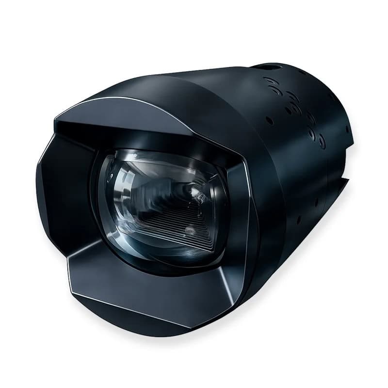
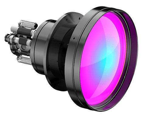
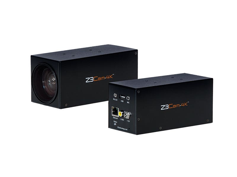
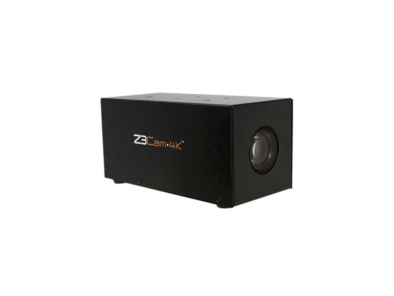
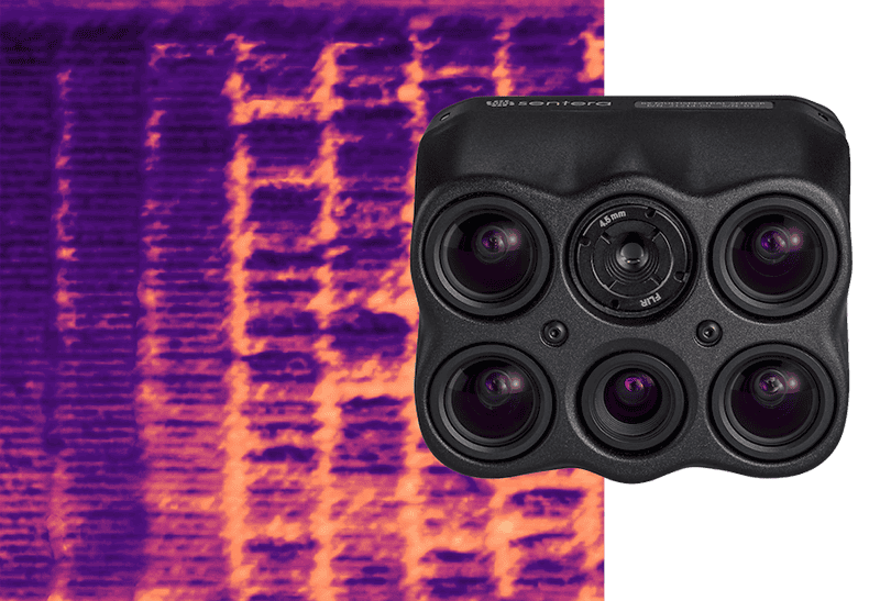
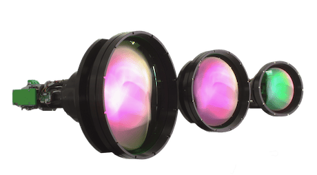
SWIR camera from MKS | Ophir.
Finally, advancements in data transmission are ensuring faster and more reliable communication. Enhanced wireless systems now enable real-time streaming of high-resolution video, providing operators with immediate access to critical information. This rapid data delivery supports timely decision-making in scenarios where every second counts.
Choosing the perfect camera for a drone depends on the mission’s objectives.
When selecting a camera for specific needs, consider factors such as resolution, weight, compatibility with UAV systems, and weather resistance.
Drone cameras are at the forefront of innovation, driving progress in industries ranging from agriculture to defense. With advanced technologies such as SWIR, MWIR, and hyperspectral imaging, they provide actionable data in even the most challenging environments. As UAV capabilities continue to grow, the integration of smarter, more versatile imaging systems will redefine the limits of aerial data collection and analysis.
Drone cameras offer unmatched versatility, making them indispensable tools for commercial, industrial, and tactical applications, from environmental monitoring to military-grade surveillance.

 Searching Companies & Products


 Subscribe to the Weekly eBrief
The latest engineering and technical developments straight to your inbox - join thousands of engineers who receive it.
Subscribe to the Weekly eBrief
The latest engineering and technical developments straight to your inbox - join thousands of engineers who receive it.