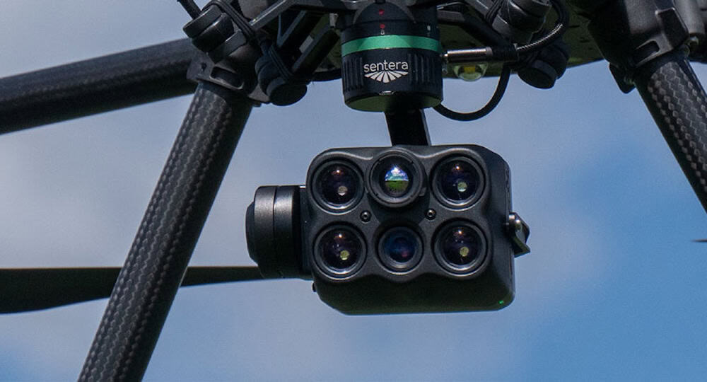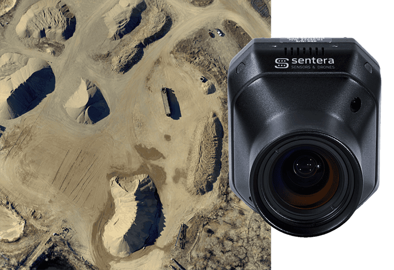
The 65R camera from Sentera, used with the IF800 Tomcat platform and gNext analysis software, supports detailed runway inspection workflows for the Alabama Department of Transportation (ALDOT) at Luverne Municipal Airport. Read more >>
In this project, ALDOT addressed the challenge of assessing aging pavement at small regional airports, where traditional inspection methods rely on sampling limited sections. By capturing full-surface data in a single operation, the agency aimed to obtain a complete and detailed view of runway conditions without interrupting airport activity.

Data Capture & Platform Integration
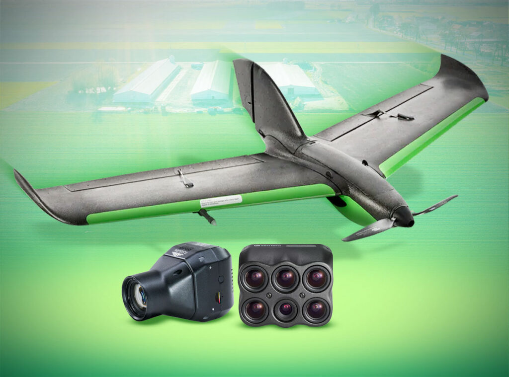
The IF800 Tomcat was selected to meet the operational demands of ALDOT’s high-frequency UAS program, which conducts more than 4,000 flights annually. The system provides NDAA compliance, stable performance at higher speeds, and consistent low-altitude data capture, along with extended flight endurance for a multirotor platform.
Its quick-connect payload capability supported integration with the Sentera 65R, enabling the collection of engineering-grade pavement imagery across the entire runway in one mission, reducing the need for repeat flights and minimizing time on site.
During the Luverne deployment, ALDOT conducted flights at approximately 100 feet above ground level, increasing to 125 feet in constrained areas, while maintaining speeds between 31 and 32 miles per hour. Flight paths were aligned with pavement geometry to ensure full coverage of the runway, taxiways, and apron. Despite the higher speeds, the 65R’s global shutter captured clear, undistorted imagery, producing a ground sample distance of just under one quarter inch and supporting detailed pavement assessment.
Data Processing & Scalable Analysis
Following data collection, imagery was processed using gNext, where automated tools identified and categorized surface conditions such as linear cracking, cracking within existing patches, vegetation growth, and other areas of distress.

The software generated visual overlays and structured reports, allowing engineering and aeronautics teams to translate raw imagery into actionable insights. The ability to detect cracking within patched regions provided additional visibility into potential problem areas that may fail sooner than expected, beyond what traditional inspection methods typically capture.
The results from Luverne established a repeatable workflow for ALDOT, delivering a complete condition map, quantified measurements of patches and cracks, and baseline data for future comparison. The agency plans to expand this approach across additional airports, using consistent flight parameters and sensor configurations to build a growing pavement history. This enables ongoing monitoring of pavement performance and supports more informed planning for maintenance and rehabilitation across Alabama’s airport network.