John Deere has strengthened its position in drone-enabled precision agriculture with the acquisition of Sentera, a leader in aerial imagery and analytics solutions for the farming sector.

This acquisition enhances John Deere’s precision agriculture ecosystem by integrating Sentera’s drone-based imaging and analytics with existing platforms like the John Deere Operations Center, offering farmers and ag service providers a more comprehensive digital toolset to boost profitability, sustainability, and operational efficiency.
Chris Winkler, Director of Digital Software and Solutions at John Deere, said, “We’re excited to add Sentera’s talented team to our organization and integrate their advanced solutions into the suite of John Deere tools that help farmers do more with less. Combining Sentera’s imagery capabilities with the John Deere Operations Center™ will enable farmers and trusted advisors to seamlessly gather and integrate agronomic data, understand real-time conditions, and turn data into insights that drive decisions in the field throughout the growing season.”
Nick Einck, Director of Agronomy at Chandler Coop in Chandler, Minnesota, said, “As a customer of John Deere and Sentera today, the value of this integration is clear. Sentera’s scouting solutions allow us to quickly gather data across more acres and with greater detail, enabling us to customize our approach to each field. Coupled with the John Deere technologies we already leverage today, we can be more efficient and deliver even better outcomes for our customers.”
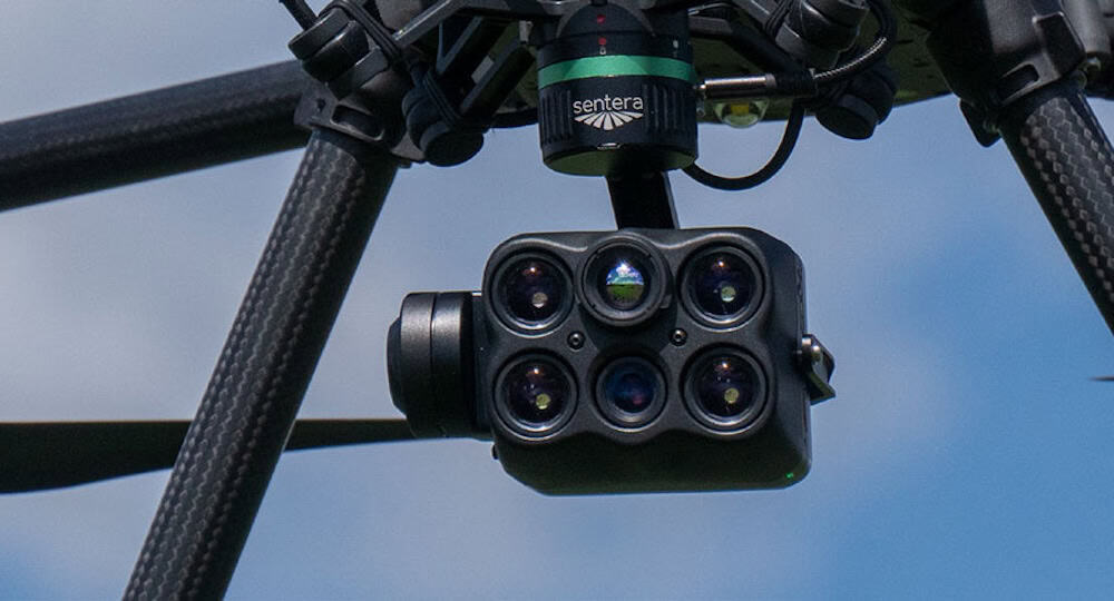
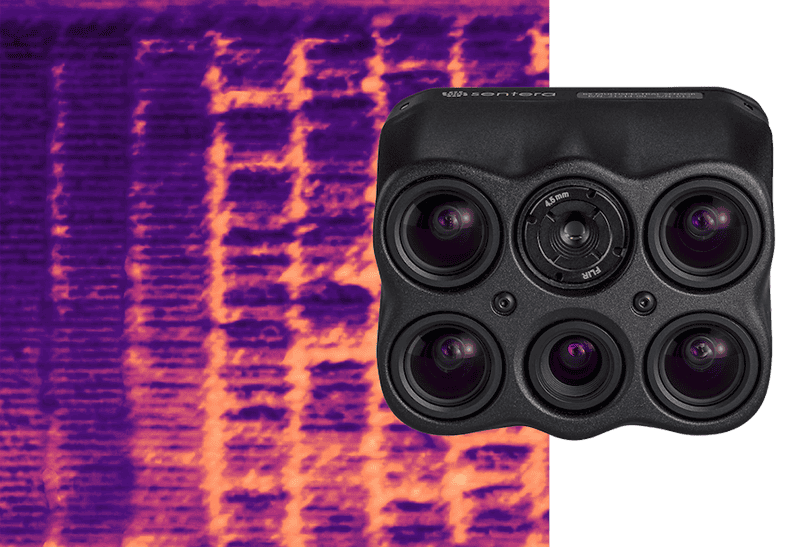
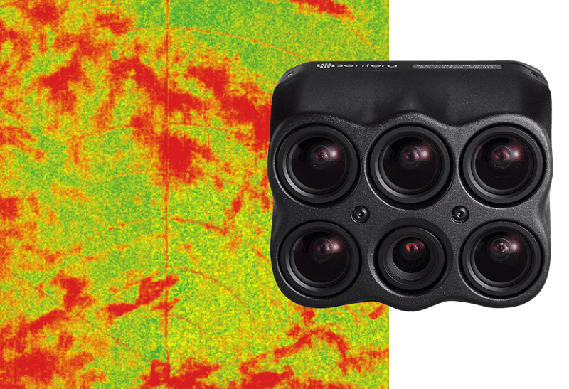
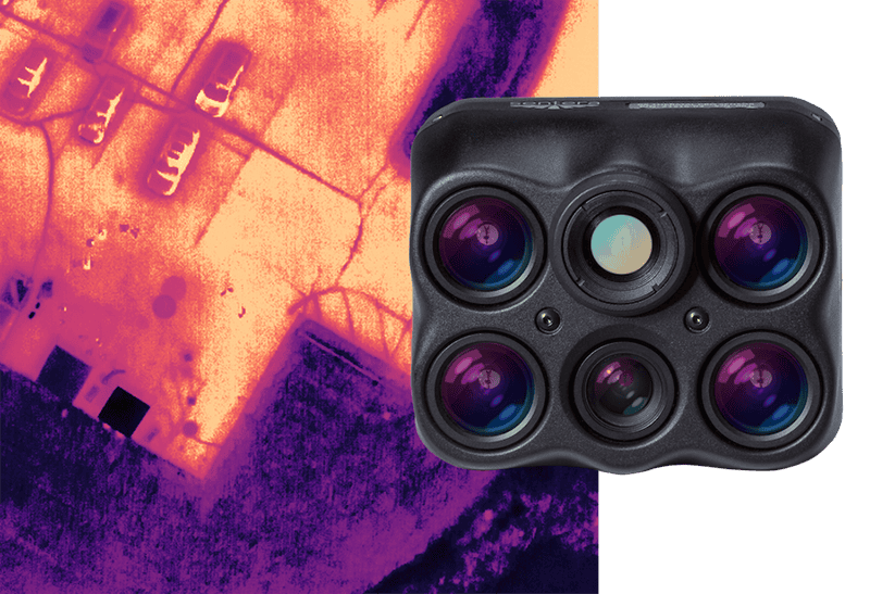
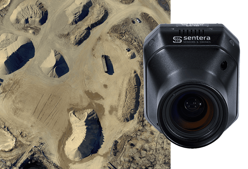
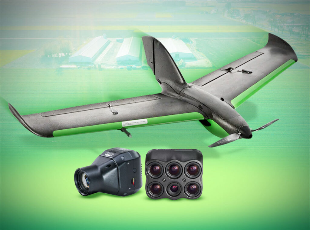
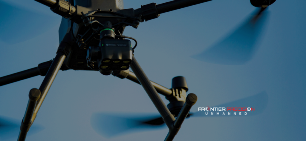
Sentera’s advanced cameras are compatible with most major commercial drone platforms, allowing producers to quickly capture large volumes of high-resolution imagery across wide field areas. These aerial datasets are processed through Sentera’s proprietary FieldAgent software, delivering actionable insights on plant health, crop variability, and in-field stressors. With these capabilities, agronomists and producers can rapidly assess plant-level conditions and respond with targeted interventions, helping to reduce waste, optimize inputs, and increase yield potential.
One of the most impactful technologies enabled by the acquisition is SMARTSCRIPT™ Weeds, a drone-powered weed mapping and herbicide prescription solution. Drones equipped with Sentera sensors fly over the field and collect imagery at speed and scale. The FieldAgent platform then analyzes this data to detect and map specific weed populations. This analysis produces a customized herbicide prescription, precisely calibrated to the needs of each zone within the field. The resulting prescription is wirelessly transmitted through the John Deere Operations Center to sprayers equipped with individual nozzle control, allowing highly accurate chemical applications that reduce input costs and environmental impact.
The integration of Sentera’s technology also broadens John Deere’s agronomic capabilities beyond weed control. The same drone-based data collection workflows can be used to monitor crop stand counts, assess uniformity, detect disease outbreaks, and identify pest pressure early in the season. This supports John Deere’s ongoing strategy of meeting farmers wherever they are on their technology adoption journey, delivering scalable solutions that are effective for both early adopters and those utilizing more advanced precision tools like See & Spray™.
Sentera will continue to supply its imaging solutions directly to drone manufacturers and ag professionals across the industry. The company remains committed to supporting a diverse customer base, including farmers, agronomists, and ag retailers. John Deere has confirmed that its Operations Center platform will remain open to other drone imagery providers, ensuring flexibility and continued choice for customers who rely on mixed fleets or third-party technologies.
Brian Wenngatz, CEO of Sentera, added, “John Deere provides us a great outcome and is exactly the right home for Sentera. They are the industry benchmark for innovation in precision agriculture and they share our belief that the future of access to these technologies is built on trusted relationships, measurable insights, and scalable platforms. Together, we’ll be able to support more farmers and help them unlock even more value.”
By combining Sentera’s aerial imaging expertise with John Deere’s robust precision agriculture platform, this acquisition reinforces a shared vision of leveraging unmanned systems and intelligent data to drive smarter, more sustainable farming practices.