Sentera Sensors & Drones is a leading developer of advanced UAV sensor technologies and remote sensing solutions that enable high-precision aerial data collection for agriculture, land management, infrastructure inspection, and research applications.
Unmanned Systems Technology (UST) is pleased to announce the addition of Sentera Sensors & Drones to our global supplier ecosystem. As a Gold Supplier, Sentera is showcasing a comprehensive portfolio of advanced UAV sensors, imaging payloads, software solutions, and custom sensor development capabilities designed to deliver reliable, science-grade aerial intelligence across a wide range of industries.

With decades of expertise in remote sensing technology, Sentera develops high-performance solutions that integrate seamlessly into existing drone platforms and operational workflows. Their products are engineered to provide accurate, repeatable, and high-resolution imagery and analytics, empowering professionals to make informed decisions while improving operational efficiency.
Key products and capabilities from Sentera Sensors & Drones include:

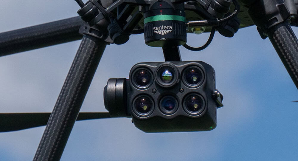
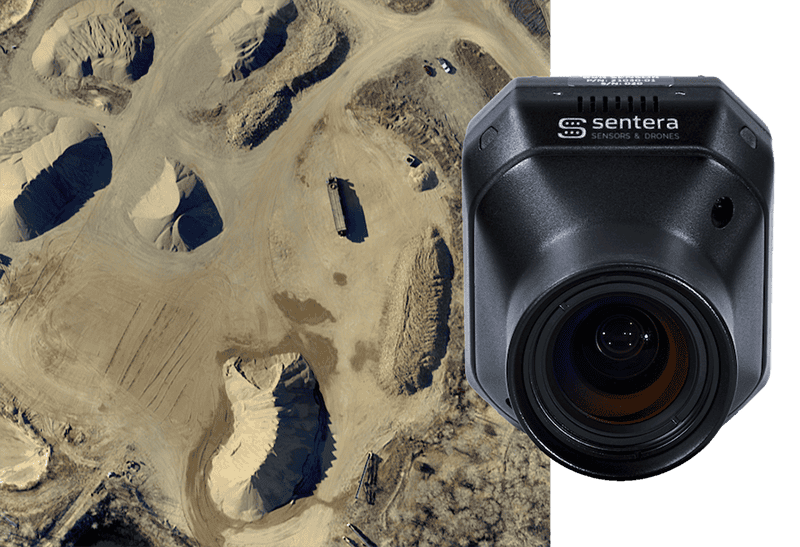
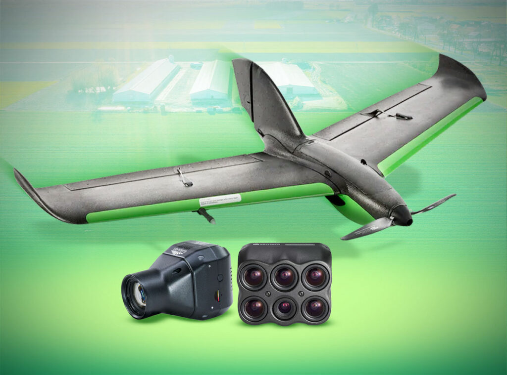
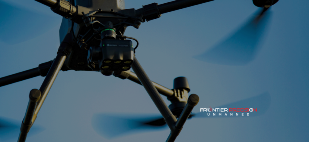
6X Series Sensors – Compact, ultra-lightweight multispectral UAV sensors featuring synchronized multispectral, RGB, and thermal imaging for advanced aerial analytics.
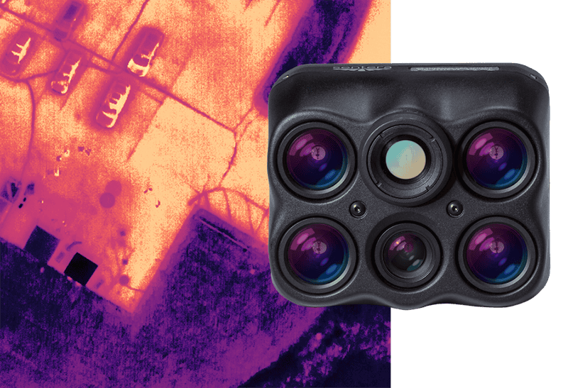
6X Thermal – Combines multispectral, high-resolution RGB, and FLIR Boson 320 thermal imaging for applications such as thermal mapping, water stress detection, and vegetation analysis.
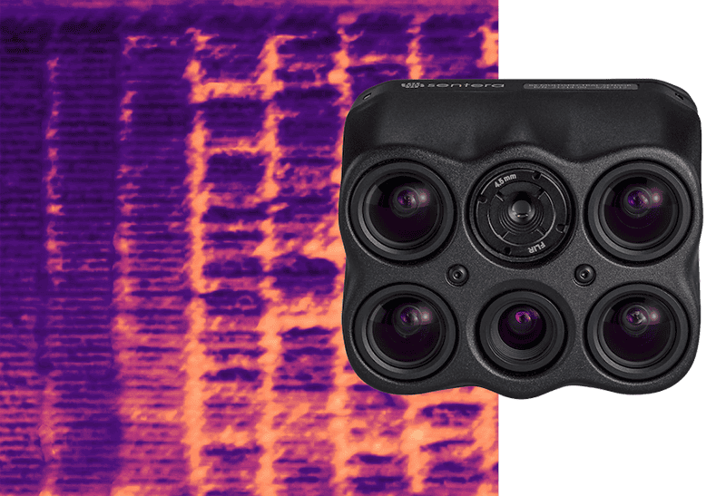
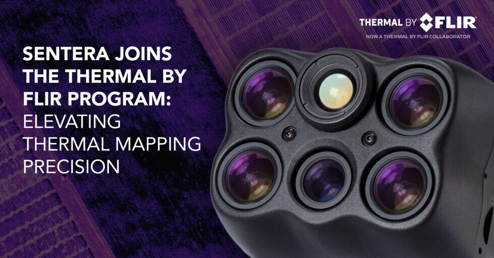
6X Thermal Pro – Advanced thermal imaging solution featuring a FLIR Boson 640 radiometric thermal imager for infrastructure inspections, land management, and research operations.
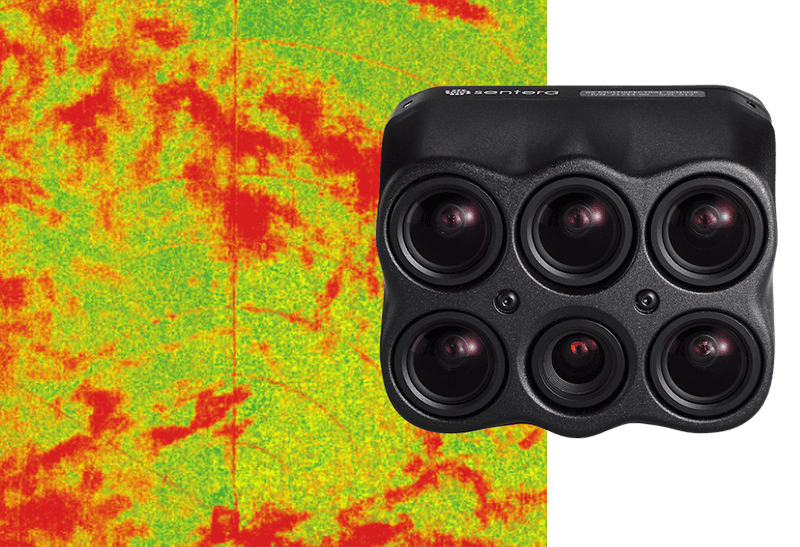
6X Multispectral – Science-grade multispectral and RGB imaging optimized for mapping, vegetation health analysis, biomass monitoring, and phenotyping.
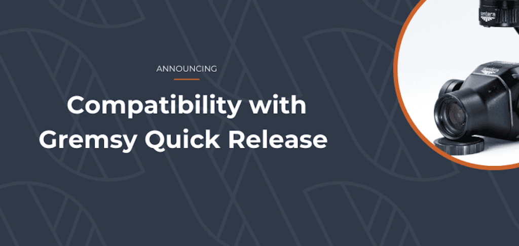
65R Sensor – A 65-megapixel global shutter RGB imaging sensor delivering ultra-high-resolution aerial imagery for surveying, mapping, and inspection applications.
Calibrated Reflectance Panel – Designed for radiometric calibration of multispectral imaging workflows to ensure dependable and accurate data outputs.

Software Solutions – Including FieldAgent™ crop analytics and visualization software, and SMARTSCRIPT™ Weeds targeted spray mapping and prescription tools.
Custom Sensor Development – Bespoke UAV sensor solutions tailored to unique client requirements and specialized remote sensing applications.
Partner Program – Providing access to Sentera technologies, partner resources, competitive pricing, and early access to new innovations.
Sentera’s solutions are designed to maintain exceptional imaging performance across diverse environmental conditions, with options that support NDAA-compliant and Blue UAS-approved operations. Their innovative technologies help drone operators, agronomists, researchers, and infrastructure professionals unlock greater value from aerial data, with streamlined workflows and highly accurate analytics.
To learn more about Sentera Sensors & Drones and their advanced UAV remote sensing solutions, visit their full profile on Unmanned Systems Technology.