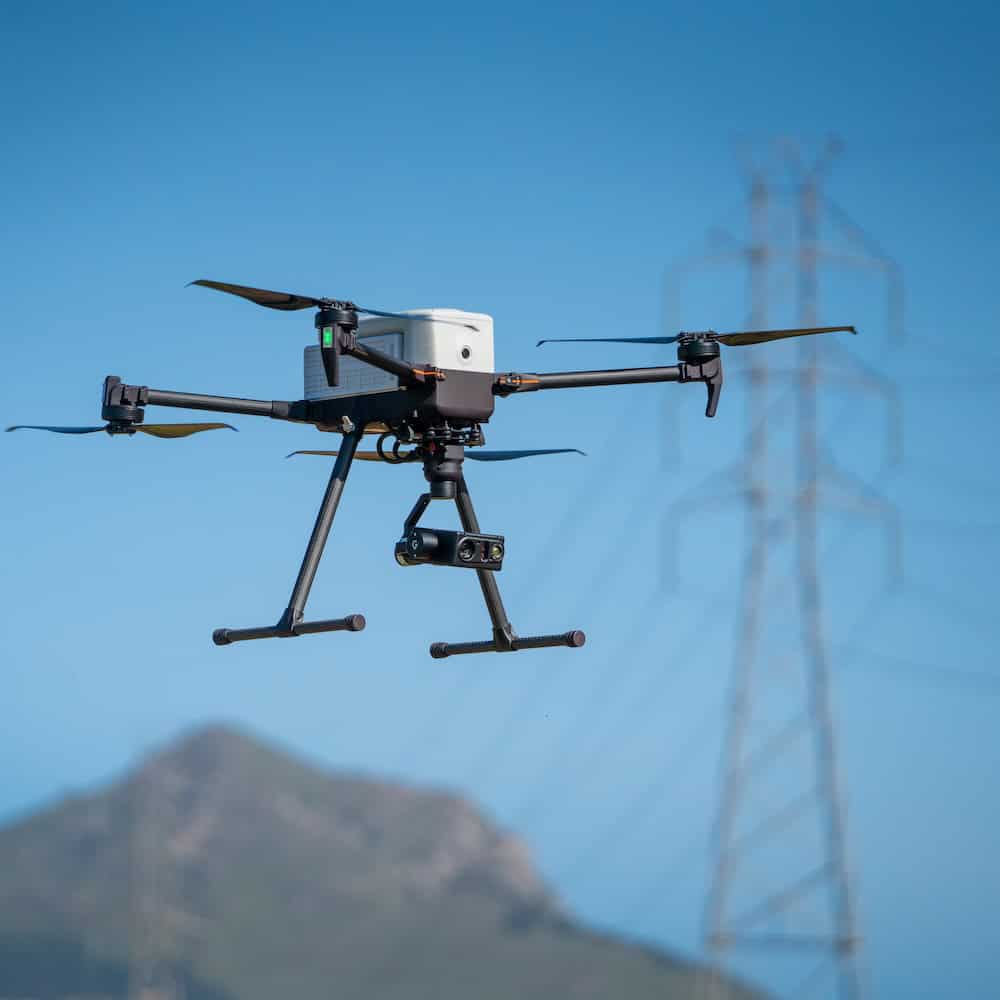
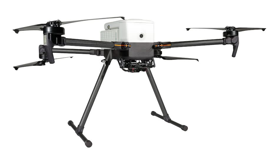
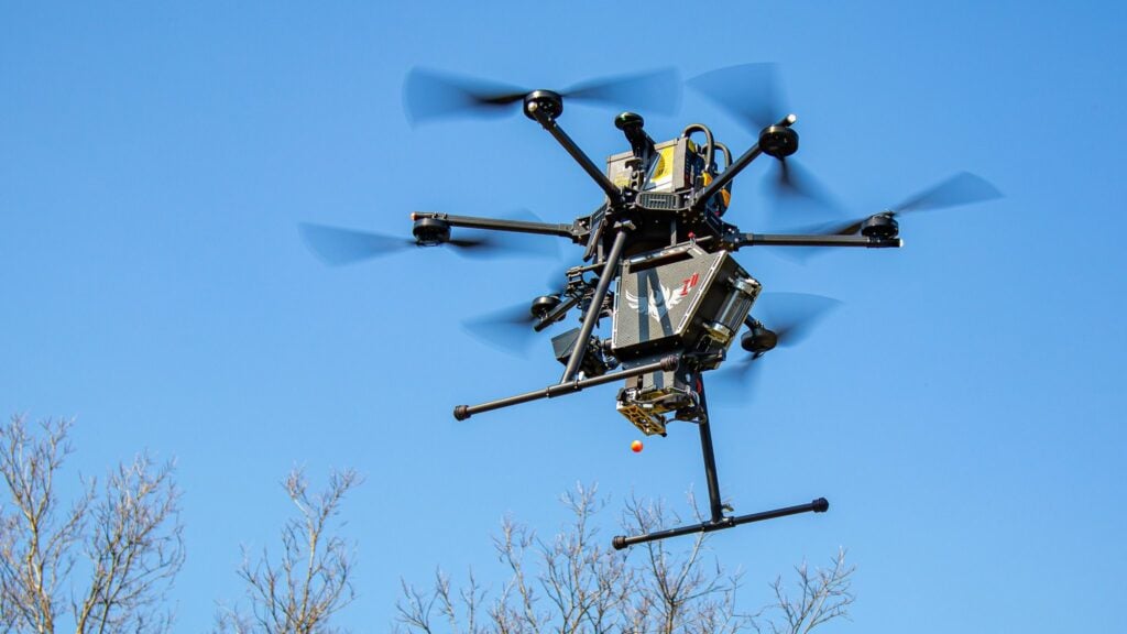
Inspired Flight’s IF800 Tomcat is enabling a refined approach to airport pavement inspection, as demonstrated in a recent deployment with the Alabama Department of Transportation (ALDOT) at Luverne Municipal Airport.
Paired with Sentera’s 65R camera, the system was used to capture a complete, high-resolution dataset of runway surfaces in a single pass during this project. The deployment illustrates how a stable multirotor platform and high-performance sensor can deliver full-surface visibility while minimizing operational disruption and reducing reliance on sampled inspection methods.
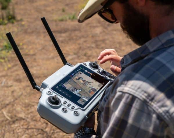
At Luverne, ALDOT conducted low-altitude flights at speeds exceeding 30 mph, maintaining image clarity across the runway, taxiways, and apron. The IF800 Tomcat’s stability enabled consistent data capture, while the 65R’s global shutter produced clean imagery with no motion distortion. The resulting dataset achieved a ground sample distance of just under one quarter inch, meeting requirements for detailed pavement assessment and establishing a baseline for even finer resolution in future operations. Completing the survey in one pass reduced time on site and eliminated the need for re-flights, supporting a more efficient workflow for teams operating under tight scheduling constraints.
The imagery was processed in gNext using its runway asset tools, which automatically identified linear cracking, cracking within existing patches, vegetation growth, and other surface distress indicators. This structured output provides engineers and planners with clear, visual overlays and quantified data, including the ability to detect cracking inside patched areas that may indicate earlier-than-expected deterioration. Such detail supports more informed maintenance planning by offering a clearer understanding of pavement condition across the full asset.
Following the Luverne project, ALDOT is preparing to expand this workflow across additional airports, using consistent flight parameters and sensor configurations to build a comparable dataset over time. This growing record will allow aeronautics teams to monitor trends, evaluate how pavement responds to environmental and operational factors, and plan resurfacing or rehabilitation with a complete view of runway conditions.
The IF800 and Sentera 65R pairing demonstrates a repeatable, scalable method for capturing engineering-grade pavement data across a range of airport environments.