


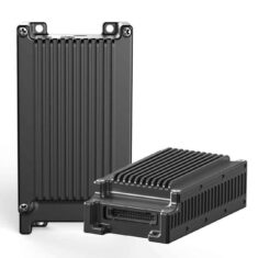
UAV Communication Systems
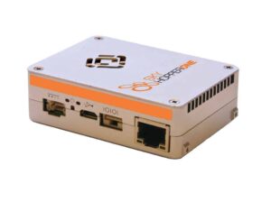
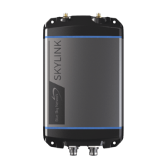
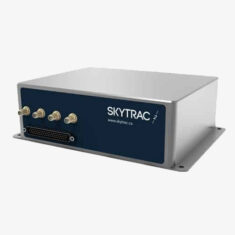
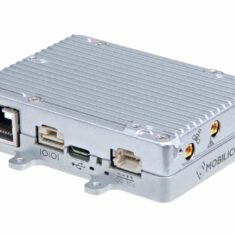
SkyHopper ONE by Mobilicom for Industrial & Commercial Drone Communications
Drone and UAVs (unmanned aerial vehicles) utilize a variety of communication methods in order to create a data link between the vehicle and ground control station (GCS), and sometimes between multiple aircraft (swarm technology). UAV communication systems may be used for command and control (C2), to broadcast telemetry data, and to send video and data from sensors and payloads back to the control station.
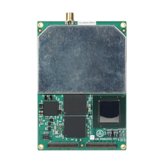
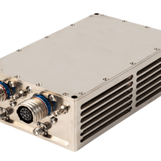
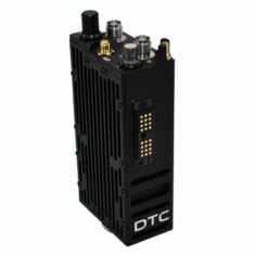
Radio
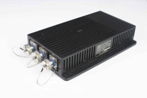
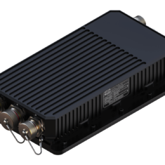
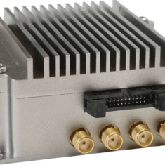
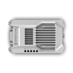
RIG-200R Airborne Radio Gateway for UAV Comms by ONUR
The most common method of drone communications uses radio – RF (radio frequency) signals in bands such as HF (high frequency) and UHF (ultra high frequency). RF datalinks may be analogue or digital, and provide greater range than Wi-Fi but are still limited to line-of-sight (LOS). Range will depend on the size of the antenna and the power of the transmitter in the UAV communications system, as well as frequency, with lower frequencies providing longer ranges but lower data rates.
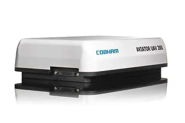
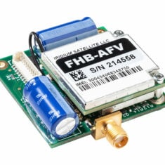
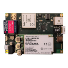
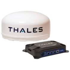
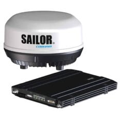
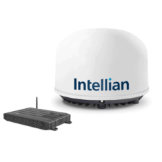
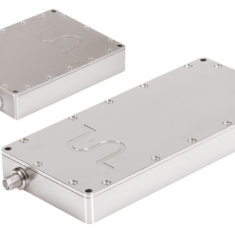
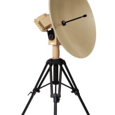
Cobham’s AVIATOR UAV 200 is a full-coverage Inmarsat SwiftBroadband solution for UAV SATCOM
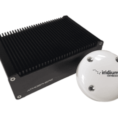
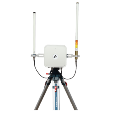
SATCOM
SATCOM (satellite communications) provides coverage almost anywhere on the planet, as well as excellent uptime. However, the equipment is relatively bulky, and thus the method is not yet suitable for SWaP (size, weight and power)-limited platforms. SATCOM also requires a subscription service, which may be expensive.
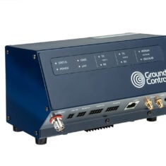
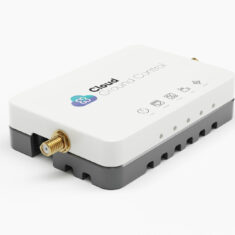
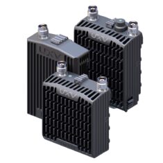
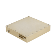
Cellular
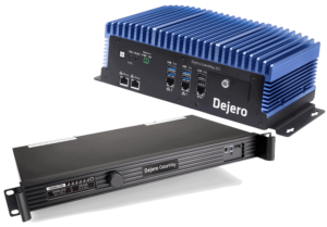
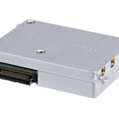
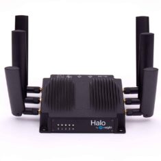
GateWay 211 for UAV Communications by Dejero
Cellular communications using 4G and 5G are also used for UAV comms. While coverage may vary, particularly outside of urban areas, cellular datalinks can enable BVLOS (beyond visual line of sight) operations, and 5G in particular provides a number of advantages such as ultra-low latency and enhanced data rates. 5G is highly suited to bandwidth-intensive applications such as streaming high-definition video.
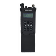
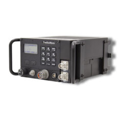
Drone-to-Drone
Drone-to-drone communications may be used to enable drone swarms, in which multiple UAVs can work together to accomplish tasks more effectively. Each drone may act as a node in a mesh network, which may use MANET (mobile ad-hoc networking) technologies to allow drones to enter and leave as necessary and provide flexible routing. This arrangement may also allow drones to act as a communications relay, providing wireless and internet connectivity in remote areas that previously had none.


 Join Thousands of Unmanned Systems Professionals
Create a UST Pro account to get full website access, the weekly eBrief and exclusive event discounts.
Join Thousands of Unmanned Systems Professionals
Create a UST Pro account to get full website access, the weekly eBrief and exclusive event discounts.


