


Showcase your capabilities
If you design, build or supply Agricultural Drones, create a profile to showcase your capabilities and connect with visitors who have an active requirement for your solutions.




Find suppliers of drones used in agriculture, agritech and agricultural UAVs for aerial crop health monitoring, soil assessment, crop spraying, irrigation and other agricultural applications.
Read the Technology Overview






Drone Technology Supplier & Drone Service Provider for Public Safety, Transportation & Training


Innovative Turnkey UAS Solutions for Mission-Critical Civilian & Defense Applications

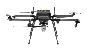


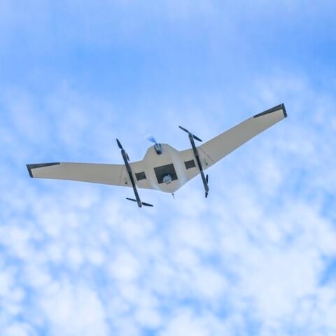
Versatile Fixed-Wing & VTOL Unmanned Aerial Vehicles (UAVs) for Long-Range Civilian, Commercial & Military Applications


Hydrogen-Powered UAVs for Long-Endurance Industrial Inspection & Security Operations

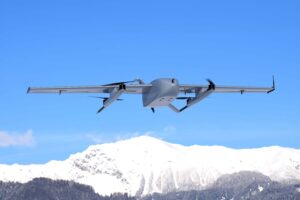


Commercial Drones for Delivery, Surveying, Agriculture, Security & Mapping - Target Drones - UAS GCS
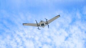

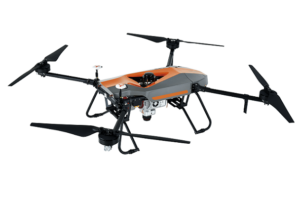
GNSS Positioning & Navigation Systems, Mobile Mapping UAV LiDAR & Unmanned Surface Vehicles


Autonomous UAS, Research & Inspection UAVs for Industrial Inspection, Survey & Mapping

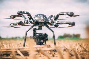
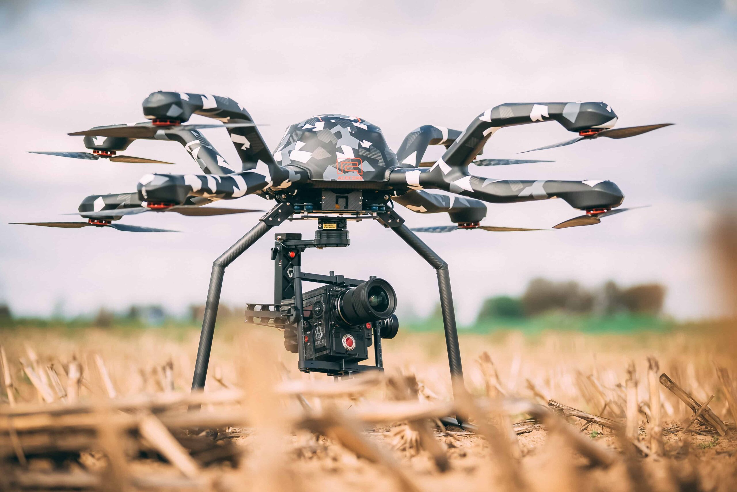
Professional Drones, Quadcopters, Multirotors & Hexacopters for Cinematography, Survey & Inspection

| Overview | Products | Link | ||
|---|---|---|---|---|
| Reactive Drone | Ukraine | Multi-Constellation GNSS Module for Ultra-Reliable Positioning & Navigation |
|
View Profile |
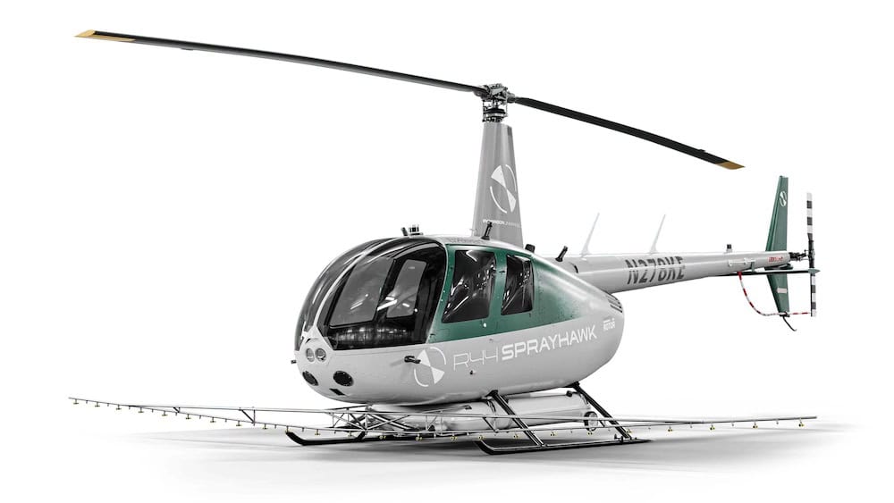
| Robinson Unmanned | United States of America | Integrated VTOL UAS: From Nano Platforms to Heavy-Lift Autonomous Rotorcraft |
|
View Profile |
| Volatus Aerospace | Canada | Drone Technology Supplier & Drone Service Provider for Public Safety, Transportation & Training | See supplier profile | View Profile |
| Altus LSA | Greece | Innovative Turnkey UAS Solutions for Mission-Critical Civilian & Defense Applications |
|
View Profile |
| Acecore Technologies | Netherlands | Professional Drones, Quadcopters, Multirotors & Hexacopters for Cinematography, Survey & Inspection |
|
View Profile |
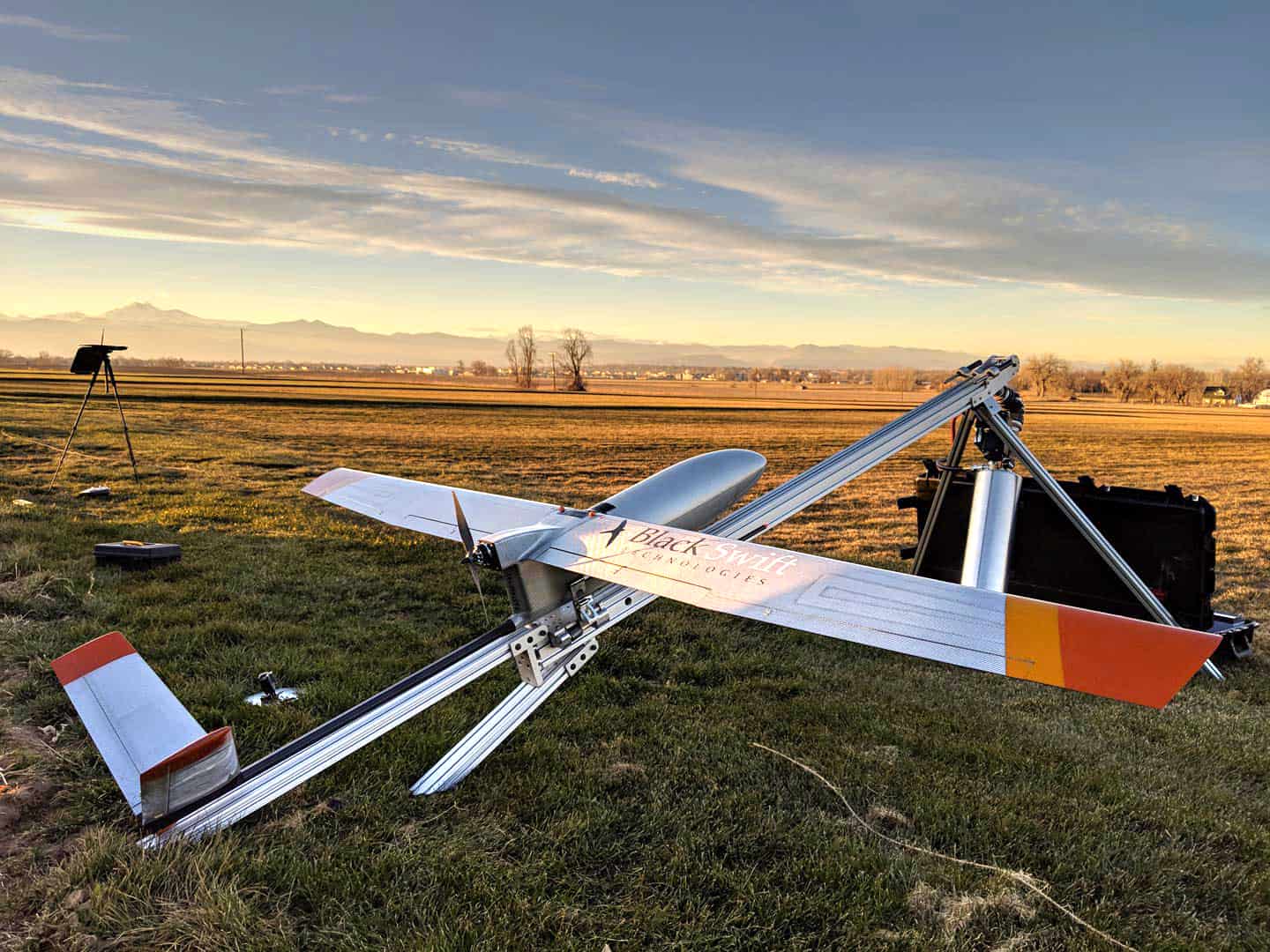
| Black Swift Technologies | United States of America | Autonomous UAS, Research & Inspection UAVs for Industrial Inspection, Survey & Mapping |
|
View Profile |
| BraveX | Romania | Versatile Fixed-Wing & VTOL Unmanned Aerial Vehicles (UAVs) for Long-Range Civilian, Commercial & Military Applications | View Profile | |
| CHC Navigation | China | GNSS Positioning & Navigation Systems, Mobile Mapping UAV LiDAR & Unmanned Surface Vehicles |
|
View Profile |
| DeltaQuad | Netherlands | Long-Range Electric VTOL UAVs for Mapping, Inspection & Surveillance |
|
View Profile |
| ElevonX | Slovenia | Fixed-Wing Hybrid VTOL UAVs - Electric & Petrol - for Endurance Operations | See supplier profile | View Profile |
| NW Blue | United States of America | Trusted Source for NDAA-Compliant & Blue UAS-Listed UAV Components |
|
View Profile |
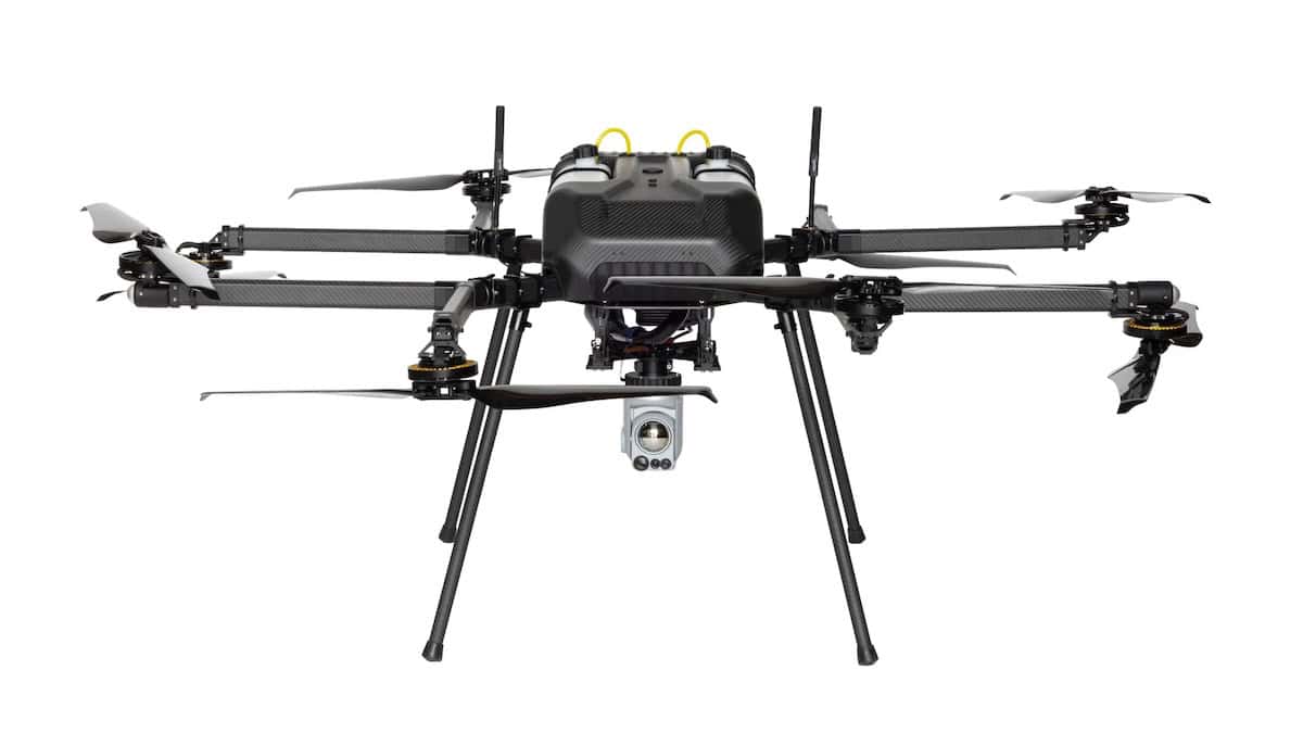
| Phoenix Flight Industries | United States of America | Hydrogen-Powered UAVs for Long-Endurance Industrial Inspection & Security Operations |
|
View Profile |
| Skyfront | United States of America | Long-Endurance Hybrid Drone for Heavy-Lift ISR, Mapping & Survey Operations |
|
View Profile |
| Woot Tech Aerospace | United States of America | Commercial Drones for Delivery, Surveying, Agriculture, Security & Mapping - Target Drones - UAS GCS | See supplier profile | View Profile |
If you design, build or supply Agricultural Drones, create a profile to showcase your capabilities and connect with visitors who have an active requirement for your solutions.

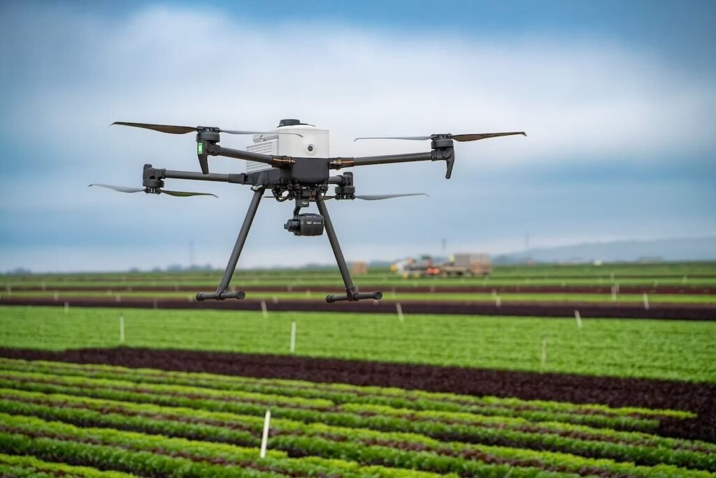
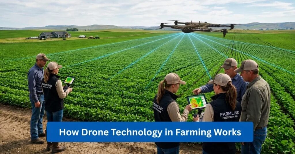
Developments in drone technology and image analysis software have expanded the agritech scope of drones, providing critical insight to farmers and allowing them to optimize their crop-growing operations.
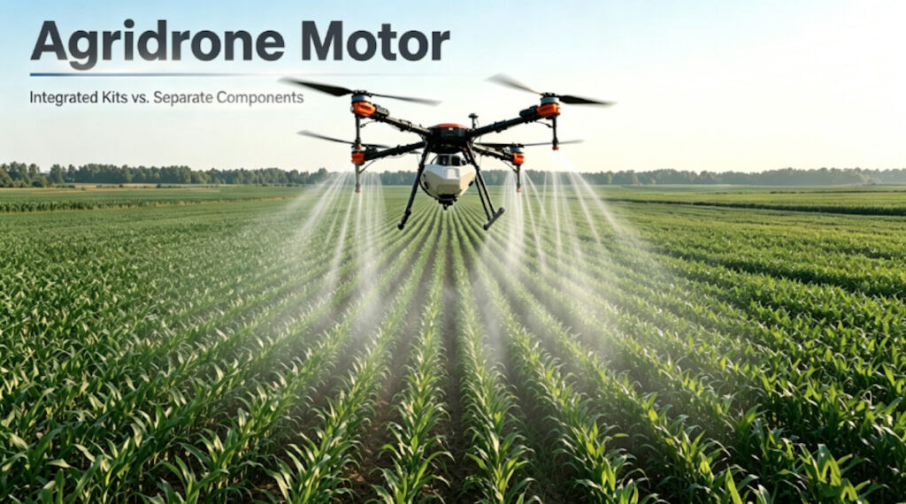
Typical agricultural drone applications include:
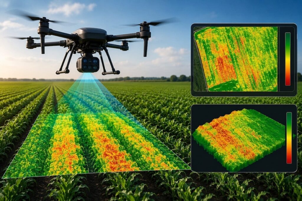
 Agricultural drones may use hyperspectral imaging cameras, which measure the light reflected by plants to determine plant health. As the plant’s physiology and characteristics change, the amount of light reflected changes. Agritech software interprets the reflected light and is capable of building a colour-coded map to highlight where crops are healthy, where there may be soil deficiencies, weeds or other factors affecting crop growth.
Agricultural flight planning software is used pre-flight to plan the agricultural drone’s flight path, with the drone typically operating autonomously according to the planned route. The farmer / operator will often be able to monitor the drone and imaging data in real-time while the drone is in flight, with more detailed analysis of the imagery conducted post-flight.
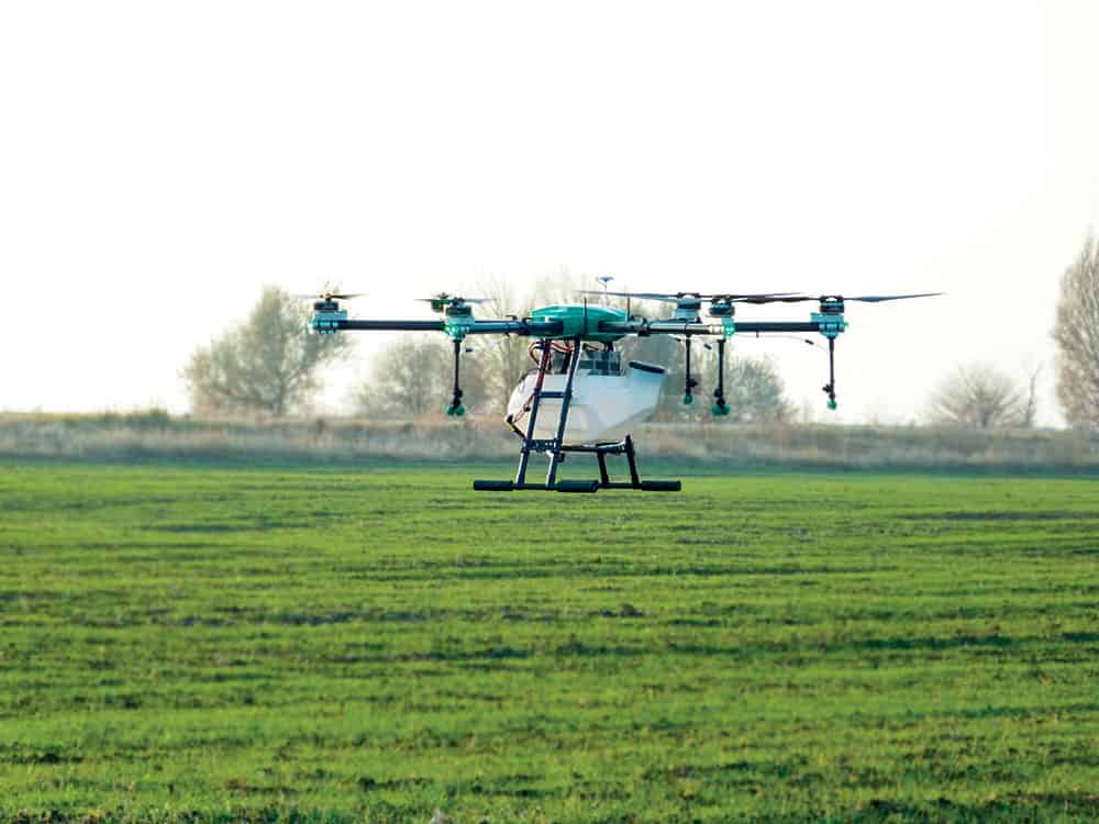
Agricultural drones vary in type, often dictated by the intended type of application.

Hi-Tec Trinity Agricultural Drone
Fixed wing agricultural drones allow a vast area to be assessed quickly, so are well-suited to image capture and analysis applications across vast areas, such as crop health or irrigation analysis. Fixed wing drones typically require an area for take off and landing (which is not usually a problem in farming applications), however small hand-launched fixed-wing agricultural drones are also available.
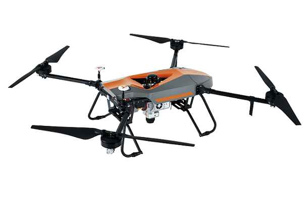
VTOL (vertical take-off and landing) drones remove the requirement for a large landing area and are well-suited to image analysis and crop-spraying applications, however they typically have a shorter operational flight time than fixed wing UAVs and are less able to analyse vast areas of farmland. The development of hybrid fixed-wing VTOL drones, which take off vertically and then transition to horizontal winged flight, combine the benefits of both types of system making fixed-wing VTOL drones suitable for a very wide variety of agritech applications.

UMS Skeldar v-200 Agricultural Drone


 Searching Companies & Products