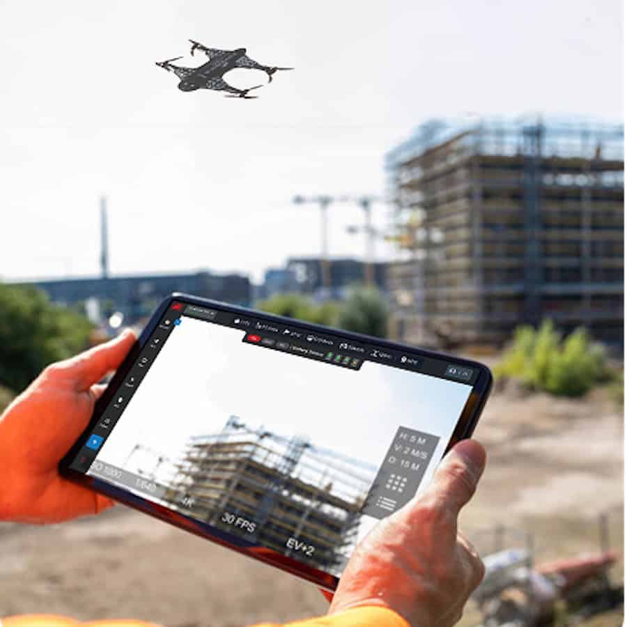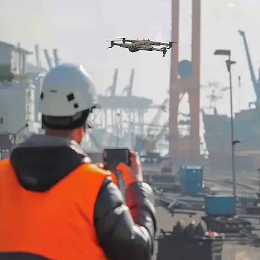
Drone as a Service by ZenaDrone outlines how agricultural drones can support precision farming through crop monitoring, field mapping, spraying, land assessment and irrigation management. Read more >>
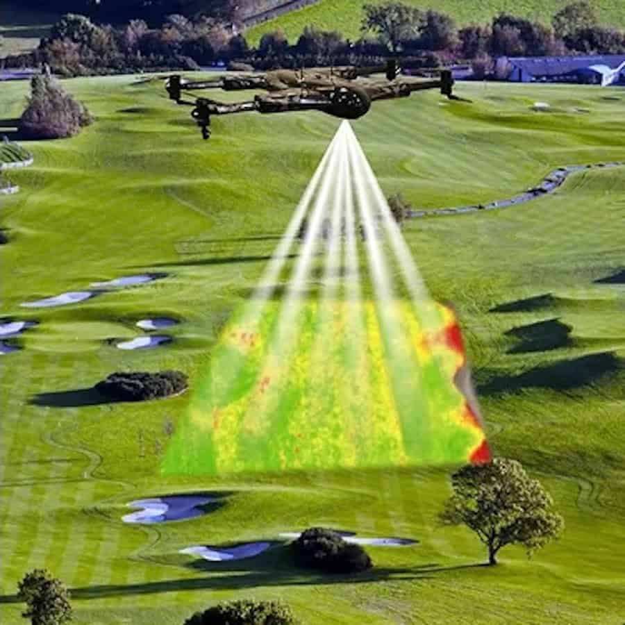
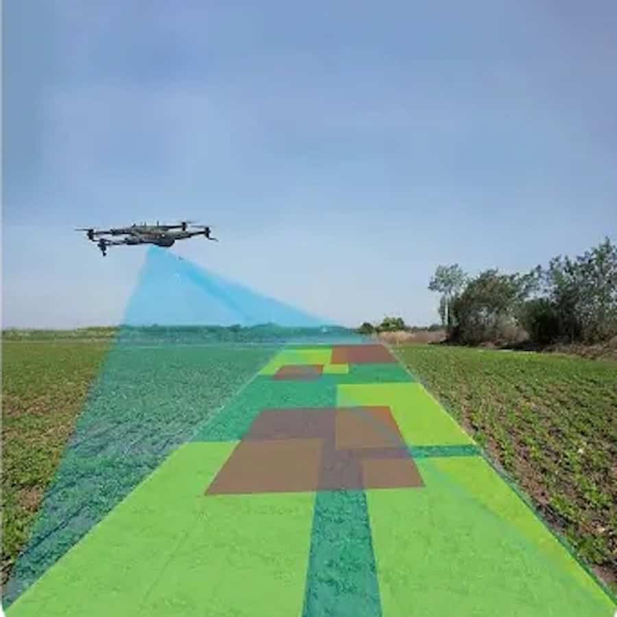
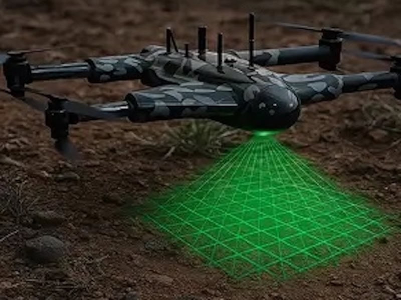
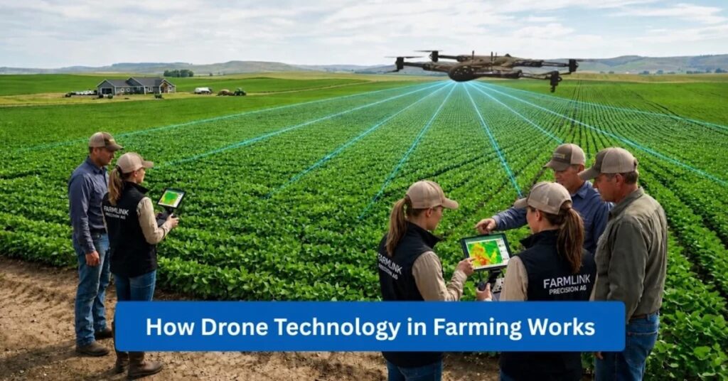
The article describes the use of GPS, automated flight systems, RGB cameras, multispectral sensors, thermal imaging, LiDAR and AI-assisted software to collect and analyze agricultural data.
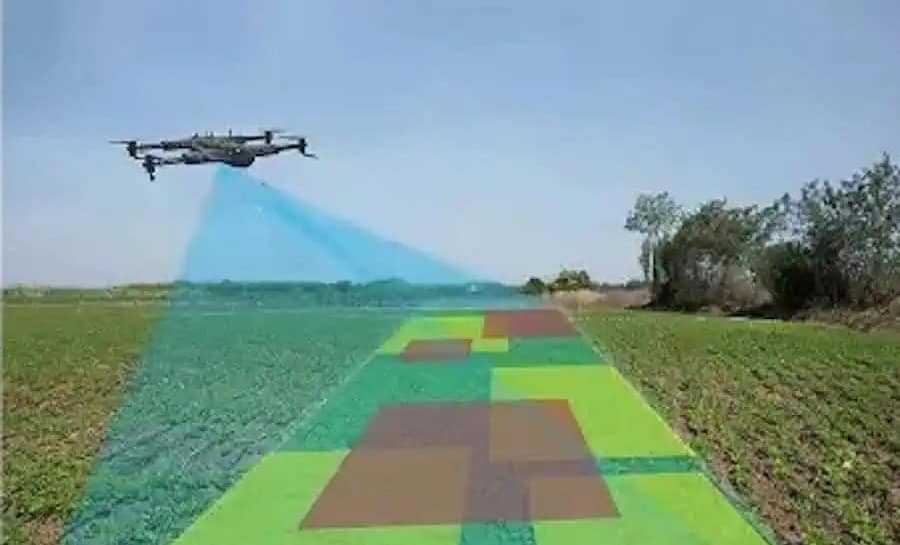
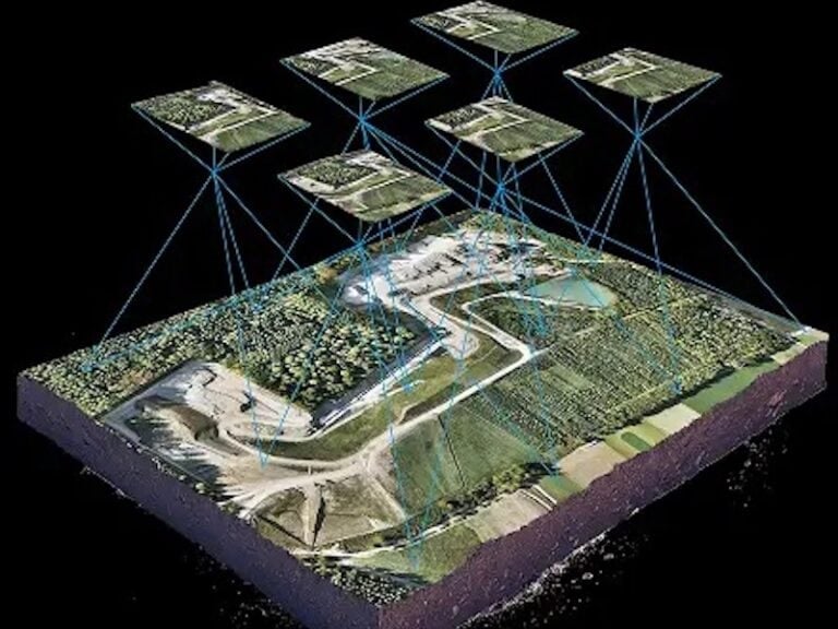
These technologies can be used to assess crop health, plant growth, soil moisture, terrain, crop density and signs of stress. Applications discussed include NDVI analysis, 3D field mapping, agricultural surveying and the identification of issues such as nutrient deficiencies, pest infestations, disease and irrigation problems.
Agricultural spray drones can also be used to apply pesticides, herbicides and fertilizers, while drone-based monitoring and mapping can support resource management, operational efficiency and faster decision-making. The source also notes practical considerations including payload capacity, sensor compatibility, software integration, battery life, weather conditions and regulatory requirements.
Future developments highlighted include greater automation, AI integration, machine learning, IoT-connected agricultural systems and the use of multiple autonomous drones.