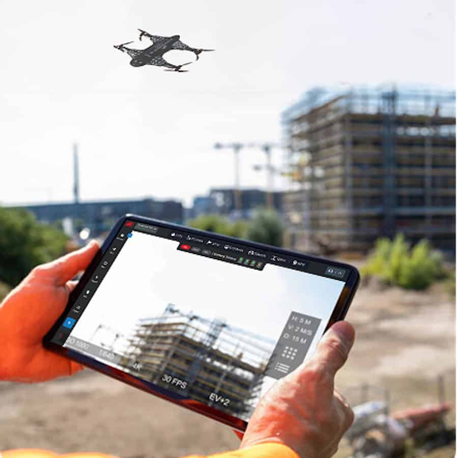
ZenaTech, Inc. has expanded its ZenaWorx LiDAR-based construction progress monitoring software, offered through its Drone as a Service (DaaS) division, with new Digital Terrain Modeling (DTM) capabilities, while signing its first paying customer for a building project in the AI data center construction market.
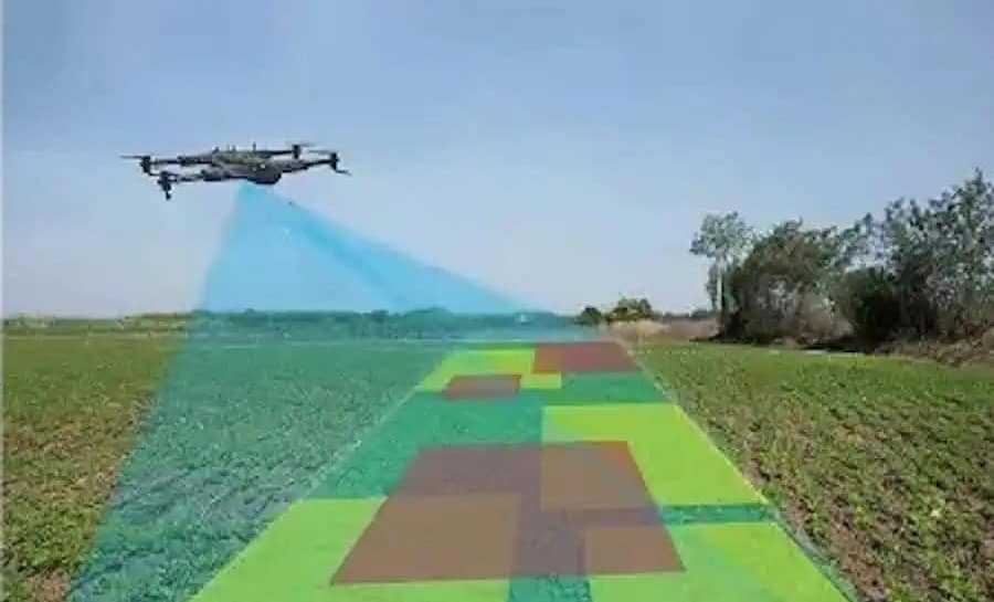
Currently in beta, the new DTM capabilities extend ZenaWorx beyond structural 3D progress tracking to include measurement of cut-and-fill volumes, grading accuracy, and drainage. ZenaWorx processes drone- and LiDAR-captured data to provide visual, analytics-driven insights into construction progress.
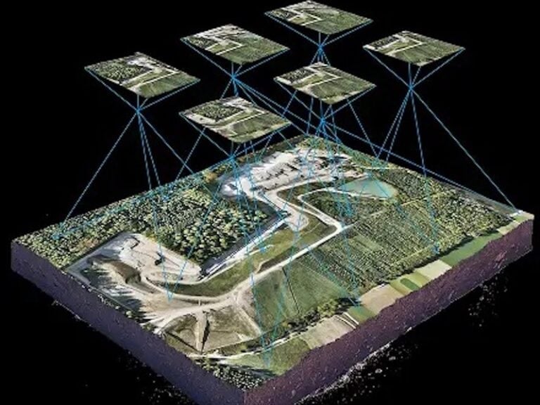
The expanded capabilities are intended to support earthworks monitoring for projects including large-scale AI data center campuses and public works applications. ZenaTech also identifies potential uses among landfill operators and municipalities managing drainage and grading projects.
Shaun Passley, Ph.D., CEO of ZenaTech, commented, “The AI data center construction market represents one of the largest infrastructure buildouts in a generation, and speed plus data quality and precision translate directly into cost and schedule savings for builders and contractors. By expanding ZenaWorx into digital terrain modeling, we can offer AI data center developers, as well as public works customers such as landfill operators and municipalities managing drainage and grading projects, a faster and richer view of what is happening on site than traditional survey methods allow.
“Importantly, this is a recurring revenue opportunity for ZenaTech. Rather than a single site visit, we intend to partner with customers across the full life of a project, from initial earthworks through ongoing monitoring, building a durable, subscription-based relationship with every customer we sign.”
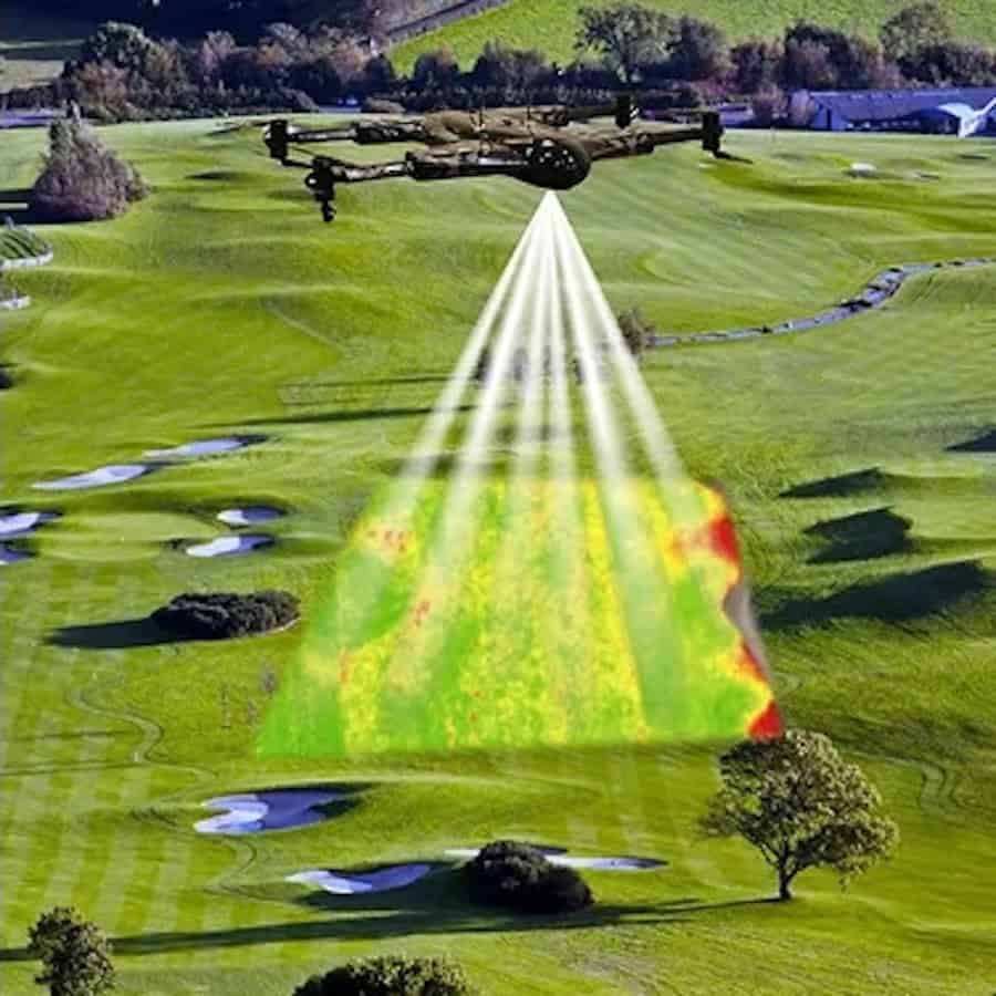
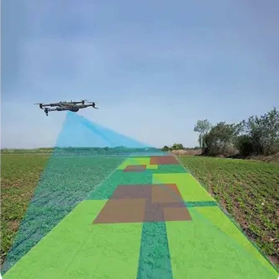
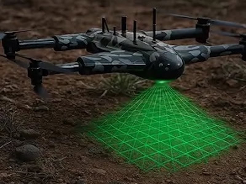
Drone-based digital terrain modeling can use drone-mounted LiDAR or photogrammetric sensors to create digital representations of ground surfaces, capturing elevation, slope, and grading data that can be compared with engineering plans throughout a construction project.
ZenaTech’s DaaS division provides drone piloting, data capture, and data processing services for commercial, government, and infrastructure customers, allowing them to access aerial data and automation without operating their own drone fleets. The company is building the division through an acquisition-led strategy that combines local service providers into a global network offering services including surveying, inspections, power washing, and construction progress monitoring.