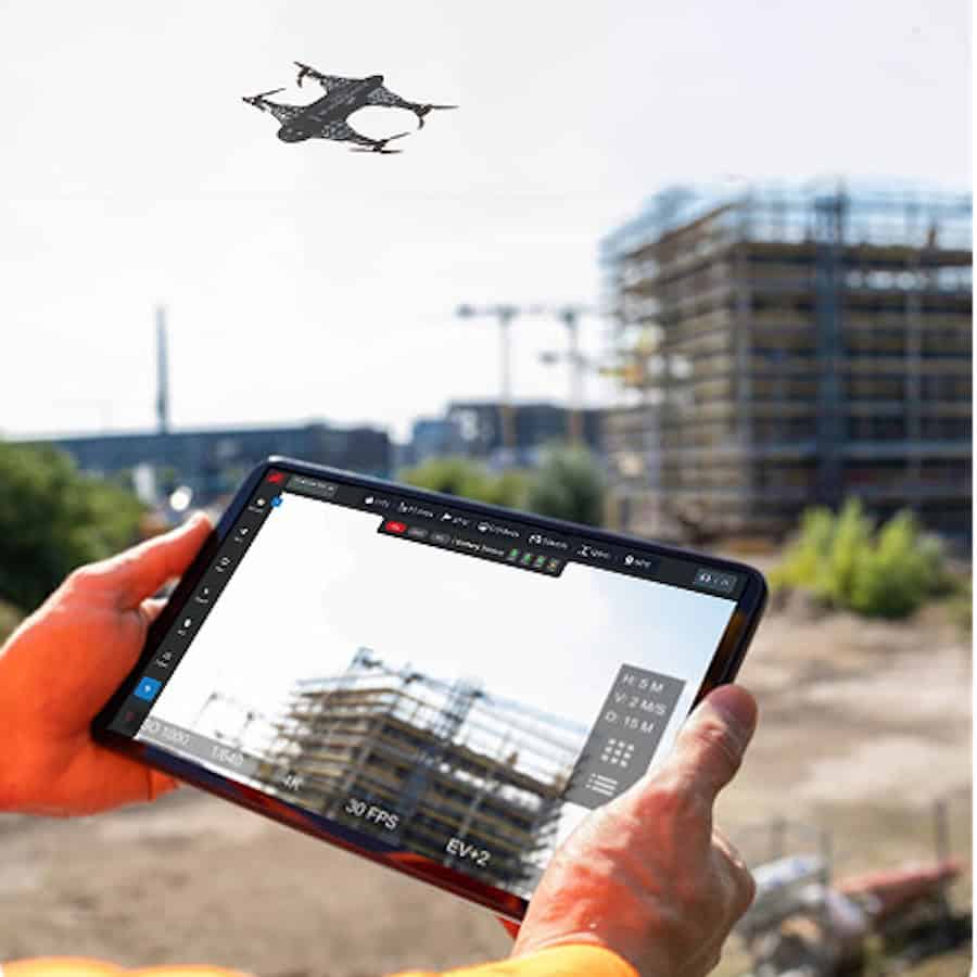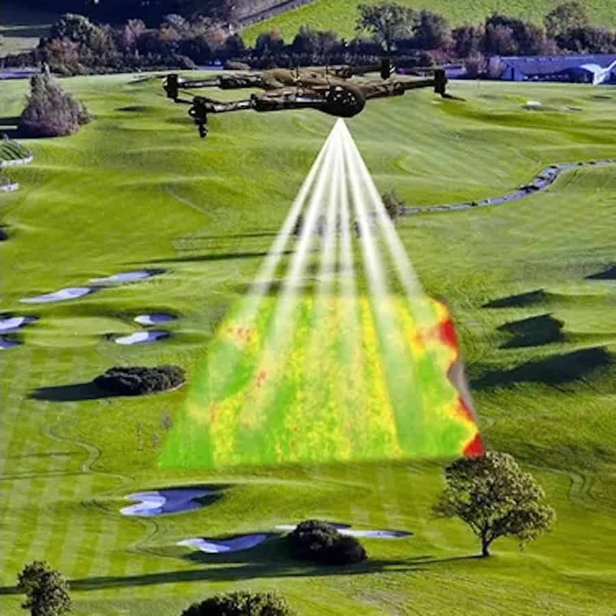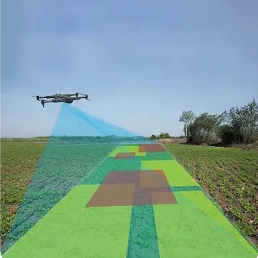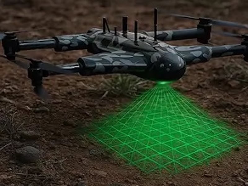




ZenaTech has introduced a proprietary artificial intelligence software suite designed to automate drone LiDAR data processing across its Drone as a Service (DaaS) land surveying operations.
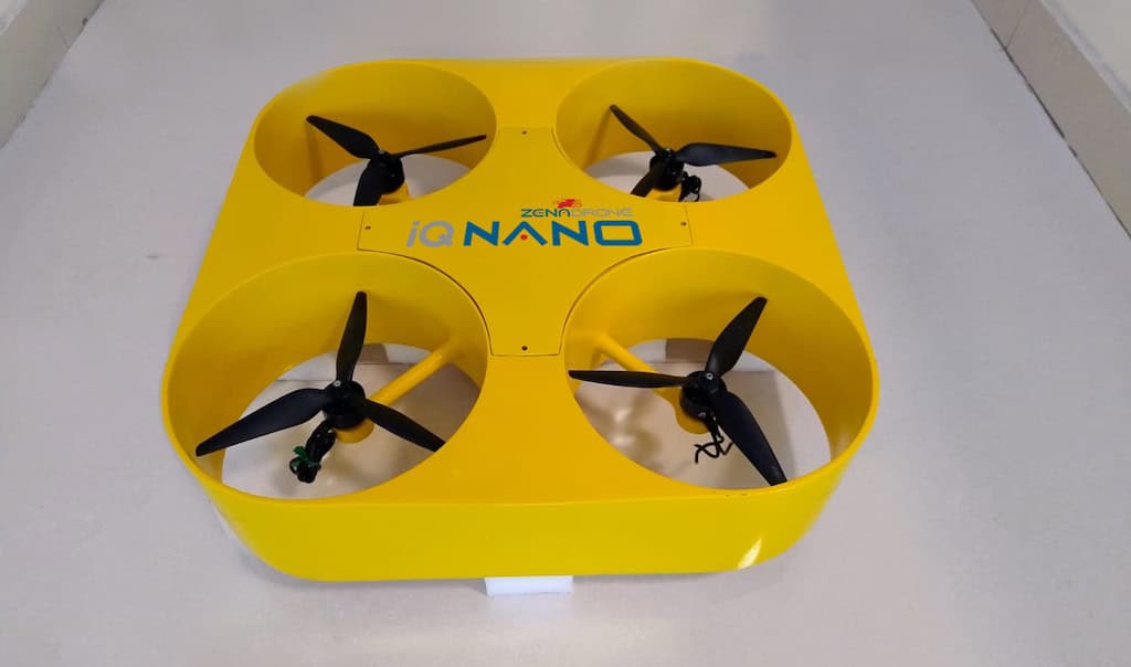
The technology provider, which specializes in AI drones, enterprise SaaS, and quantum computing solutions, plans to integrate the software with ZenaDrone’s high-density LiDAR data acquisition capabilities. The combined platform is intended to automate geospatial processing workflows, enabling commercial, municipal, and infrastructure clients to receive survey-grade data more quickly.
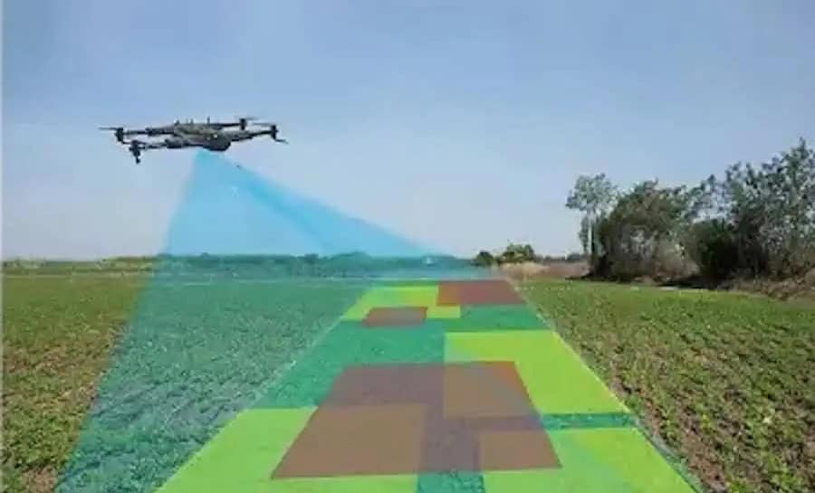
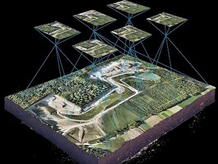
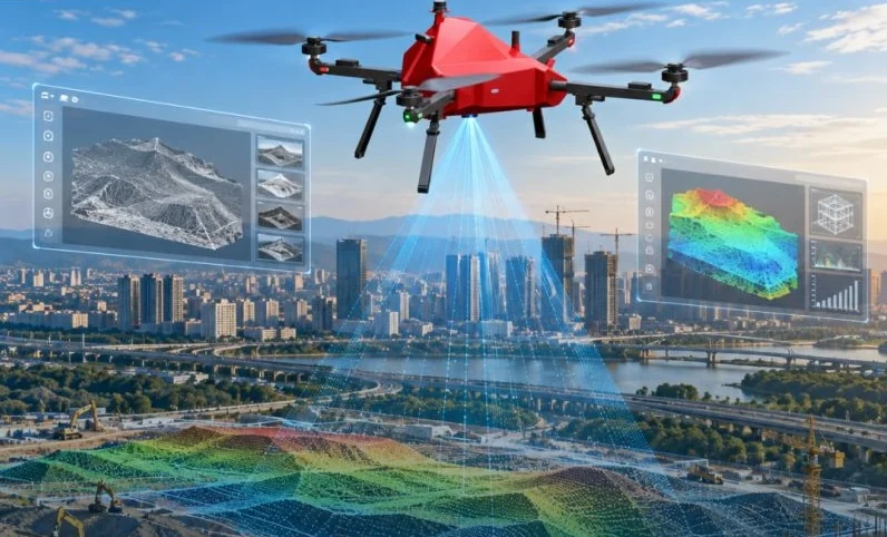
Under the proposed workflow, a ZenaDrone equipped with high-density LiDAR captures site data as a point cloud containing potentially billions of individual 3D measurement points. ZenaAI is then intended to classify these points, generate digital terrain models, extract vector linework, suppress noise, and tag infrastructure assets, exporting the results in formats suitable for survey and engineering teams.
By automating traditionally manual processes, ZenaTech aims to reduce survey-grade data delivery times from days to as little as minutes. Point cloud classification and CAD linework generation have historically required skilled technicians to process datasets manually, slowing project turnaround and limiting surveying capacity.
Shaun Passley, Ph.D., CEO of ZenaTech, commented, “Land survey delivery has traditionally been limited by manual post-processing, which caps how many projects a survey team can complete. By integrating our AI software directly into ZenaDrone DaaS operations, we aim to automate the heavily manual work of point cloud classification and CAD linework generation, so the same crews and drones can deliver turn-key, actionable intelligence to clients faster and with consistent quality.”
The software suite is being developed with several automated processing capabilities. Point cloud classification is designed to use deep learning neural networks to distinguish ground returns from dense canopy, buildings, utility lines, and surface vegetation, generating Digital Terrain Models (DTMs).
Computer vision algorithms are also intended to detect and vectorize features such as curb lines, pavement edges, retaining walls, and structures, exporting the resulting linework in CAD and Building Information Modeling (BIM) formats.
Additional planned capabilities include automated noise filtering to reduce airborne noise, multipath errors, and scan overlap, alongside semantic tagging intended to identify infrastructure assets such as manholes, hydrants, and utility poles with millimeter-level precision.
Together, these capabilities are intended to reduce post-processing workloads by as much as 80% and allow DaaS survey teams to deliver fully classified datasets within hours of flight completion.
The planned integration forms part of ZenaTech’s broader Drone as a Service strategy, which provides on-demand drone piloting, data capture, and processing services to commercial, government, and infrastructure customers without requiring them to own or operate drone fleets.
Through its acquisition-led expansion of DaaS operations, ZenaTech intends to establish consistent data-processing workflows across its network of surveying businesses. The company believes this approach could improve operational efficiency, increase surveying productivity, and support its recurring revenue model.
The combined AI-powered LiDAR processing platform is currently in development and testing, with testing across DaaS land surveying, infrastructure monitoring, and utility inspection projects expected in 2027.