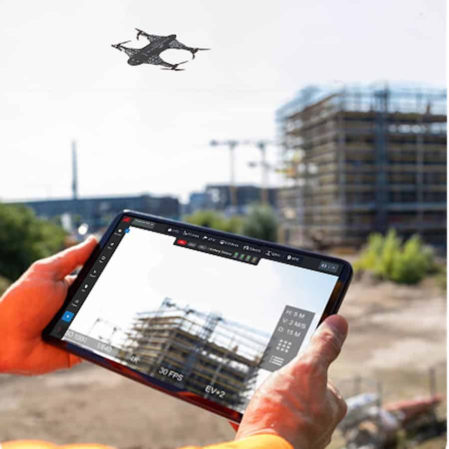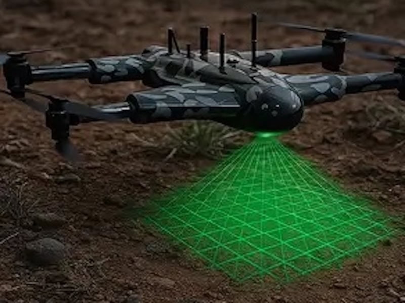


ZenaTech has entered the U.S. solar infrastructure surveying sector through its Drone as a Service division, securing initial contracts worth nearly $1 million for a utility grid project alongside more than $110,000 in school campus and municipal awards.
At one of ZenaTech’s U.S. Drone as a Service (DaaS) locations, surveying teams won multiple bids to conduct drone-based topographic land surveys supporting a multi-year, multi-billion-dollar electrical grid upgrade for a U.S.-based utility company. Subject to customer requirements, project schedules, successful delivery of the initial assignments, and additional contract awards, ZenaTech management estimates the utility project could generate up to $2.5 million in follow-on surveying revenue over the next two years.
Separately, the DaaS division secured two contracts exceeding $110,000 for as-built surveys of school parking lots where solar canopies will be built over parking stalls to generate power while providing shade and weather protection. Field data capture is complete at the first six school sites and is currently in processing, with work at a second campus scheduled to begin in the coming weeks. A third project valued at roughly $60,000 is expected to be awarded within 90 days, and management anticipates the client could generate around $150,000 per quarter, or approximately $600,000 over the next 12 months.
The school assignments highlight the operational differences between aerial drone surveying and conventional static terrestrial LiDAR on large sites. In many U.S. states, solar projects at larger facilities must pass state architect review, which evaluates how an installation affects the entire campus beyond the immediate parking area. Because static LiDAR scanners must be reset roughly every 70 feet, campus-wide coverage is costly. Management estimates a drone can map a full 10-acre campus in the same time or less than a static scan requires for a 2-acre parking lot. ZenaTech is running a proof of concept across three of the school sites, with two already completed, comparing drone-captured campus data against static scans of the project limits.
“Solar developers can’t design a single array until they have precise site data, and that first survey is where drones change the economics,” said Shaun Passley, Ph.D., ZenaTech CEO. “With static LiDAR, every hour a crew spends in the field generates five to seven hours of data analysis office work. A drone covers five times the area in that same hour and combined with AI processing, the value multiplies on every project. These awards put us in front of solar developers at the very start of a project, and we see a clear path to recurring inspection work over the life of each installation.”
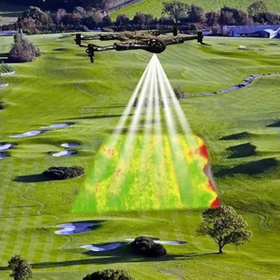
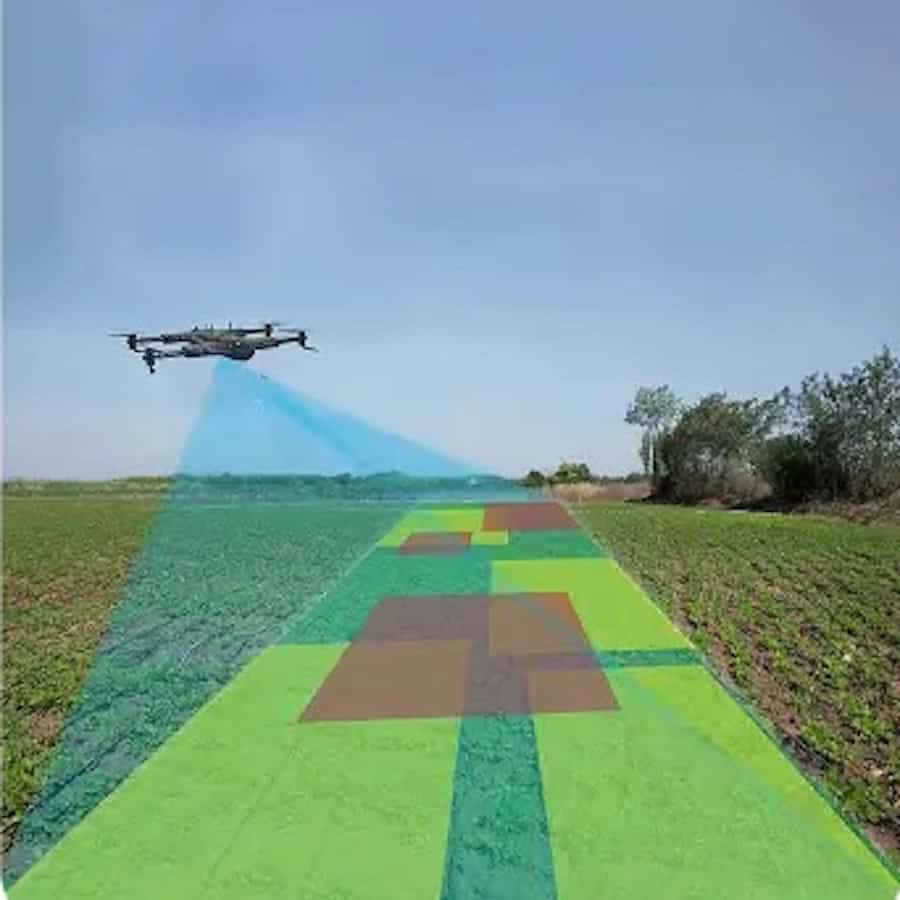
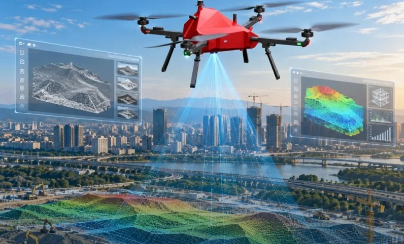
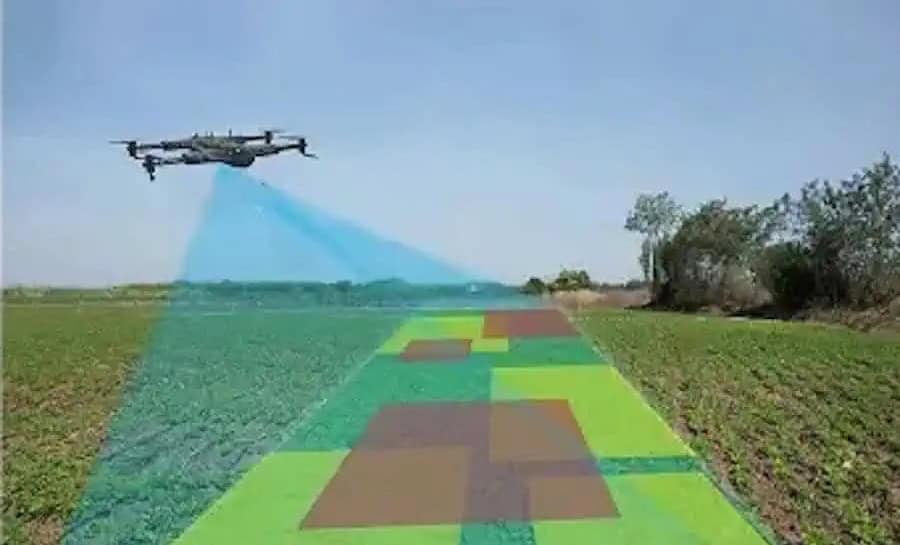
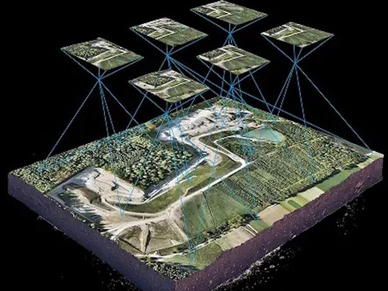
ZenaTech’s surveying methodology combines licensed surveying expertise, drone-based data capture, and centralized artificial intelligence (AI) data processing within a single DaaS network. While drones collect dense topographic measurements across construction sites, ground-based surveyors establish control points and verify accuracy before delivering finished surveys to client design teams. To streamline post-processing, ZenaTech is developing a proprietary AI software suite—with formal testing across the DaaS network planned for 2027—designed to automatically classify millions of 3D measurements into ground, vegetation, buildings, and utility lines, extracting the features needed for survey deliverables. By reducing routine point-by-point field measurements and automating portions of office processing, the workflow aims to shorten turnaround times, lower project labor costs, and free existing crews to take on additional assignments.
A technology solution provider specializing in AI drones, DaaS, enterprise SaaS, and quantum computing solutions, ZenaTech operates across almost 45 DaaS locations in 14 U.S. states, Canada, Europe, the UAE, and Australia. The company builds its network by acquiring established, profitable, yet under-digitized local surveying and inspection businesses and equipping them with ZenaDrone platforms so commercial and government customers can access aerial data without owning or maintaining drone fleets. ZenaTech is currently negotiating a broader series of DaaS contract opportunities across its network, though there is no assurance those discussions will result in signed agreements.
“Winning meaningful customer contracts and converting our DaaS network’s capabilities into revenue is our priority. These awards demonstrate how our local surveying teams can secure major infrastructure project work and build relationships with the potential to generate additional revenue over the life of a multi-year construction project, plus maintenance and inspection services potential once construction is finished,” said Shaun Passley, Ph.D., CEO of ZenaTech. “Turning revenue growth into stronger margins is also a focus. By integrating drones and proprietary AI processing, we aim to deliver surveys faster, complete more projects with existing teams reducing field and office work. Our goal is to increase profit margins from approximately 20% at the time of acquisition to a targeted 40%–60%.”
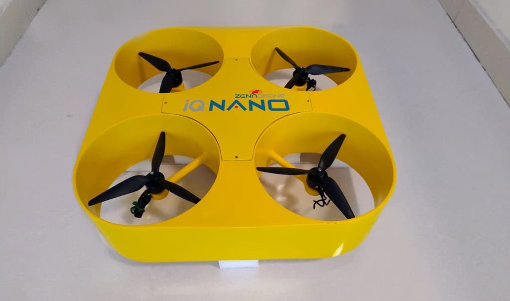
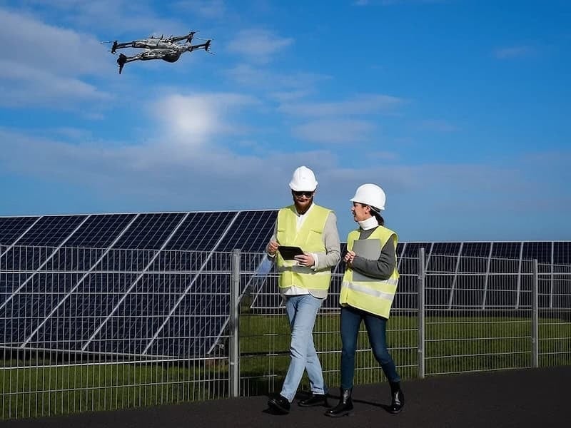
Beyond initial site surveys for solar engineering, procurement, and construction (EPC)—a U.S. market valued by The Business Research Company at $79 billion in 2025 and projected to reach $101 billion by 2030—ZenaTech plans to transition solar clients into recurring post-installation maintenance services. Clients have already inquired about panel cleaning and infrared drone inspections to detect micro-fractures and overheating panels, operations ZenaTech intends to perform using its IQ Square outdoor inspections and maintenance drone. Neither the utility contract’s $2.5 million follow-on estimate nor the initial school awards include these prospective post-construction services, which address a global drone solar inspection market Credence Research valued at approximately $1.02 billion in 2024 and projects will expand 14.4% annually to reach about $3.22 billion by 2032.