Overview
Mapping Drones
What is Drone Mapping?
Drone mapping is the process of using drones to gather aerial data such as high-resolution imagery and sensor readings that can be used to create accurate maps and models. The use of mapping drones is typically much less expensive than using manned aircraft, as power requirements are often less, and missions can be automated thus cutting down on the manpower needed. Aerial mapping drones can also fly at lower altitudes than manned aircraft, leading to higher resolution imagery.

Types of Mapping Drone
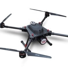
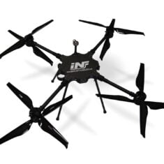
Mapping UAV (unmanned aerial vehicles) vary in type and configuration, with selection generally driven by the type of drone mapping project to be completed and the image capture requirements. Drone mapping can be conducted with fixed-wing , single-rotor (unmanned helicopter) or multirotor drones, with advantages and disadvantages for each.
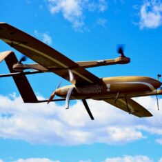
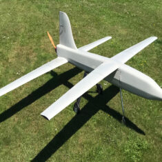
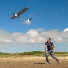
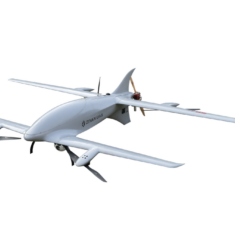
Fixed Wing Mapping Drones
Fixed-wing UAV typically have much longer flight endurance than multirotor drones, allowing them to map a larger area in a single flight, and can carry heavier payloads. However, they need larger amounts of space to take off and land, and may also need specialised launching equipment. Fixed wing mapping drones are also unable to hover in place.

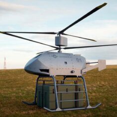
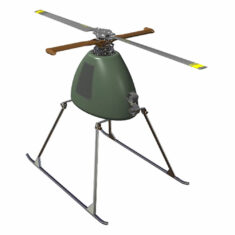
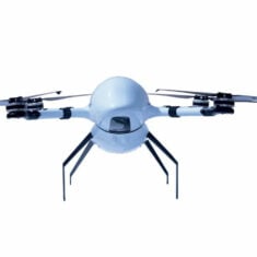
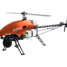
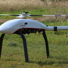
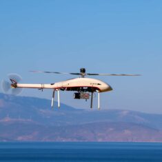
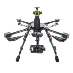
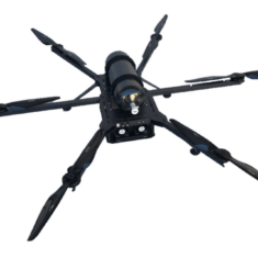
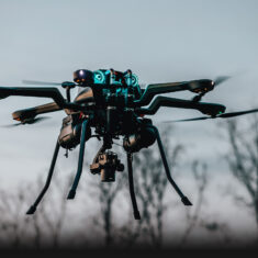
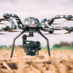
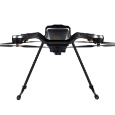
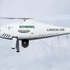
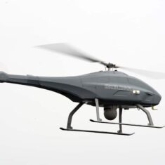
VTOL Rotary-Wing, Unmanned Helicopters & Multirotor UAS
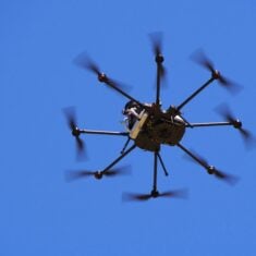
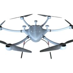
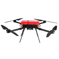
Multirotor and unmanned helicopter have VTOL (Vertical Takeoff and Landing) capabilities and can hover in place. Single rotor aerial mapping drones are typically larger and have superior range and payload capacities than multirotor drones, especially those with combustion engine propulsion systems. Most multirotor systems are battery-powered and thus limited in flight time, meaning that mapping missions will require more drone flights.
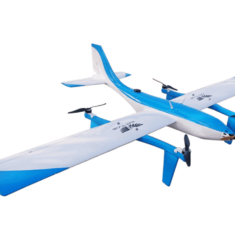
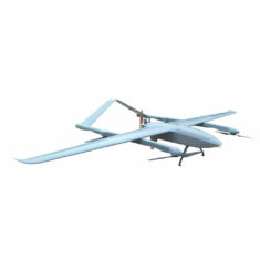
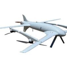
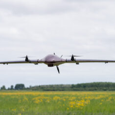
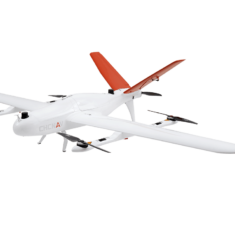
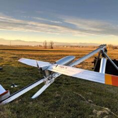
Hybrid VTOL Fixed-Wing Drones for Mapping
Hybrid fixed wing UAV combine the VTOL capabilities of rotary drones with the longer flight times and heavy payload capacity of fixed-wing drones. This makes them ideal for mapping applications and land survey as they can be rapidly deployed and landed, even in remote and hard to reach locations.
Drone Photogrammetry
– for creation of accurate maps
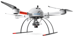
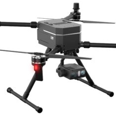
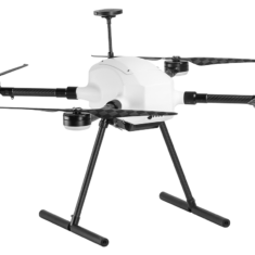
Microdrones mdMapper1000DG Aerial Surveying and Photogrammetry VTOL UAV
Photogrammetry is the derivation of precise measurements from photography. These measurements can be used to create accurate maps.
Drone photogrammetry for mapping uses a downward-facing camera mounted on the drone, with mapping missions being flown autonomously by programming the drone with a series of waypoints that are navigated using GNSS. Flights are performed so that multiple overlapping photos of the target area are captured, leading to increased accuracy.
The images from UAV photogrammetry surveying are used to create orthomosaics – stitched-together images that have been corrected for camera distortion, noise and topographical relief. Orthomosaic maps are highly accurate representations of the surface of the Earth and can be used to measure distances accurately.
3D Drone Mapping with LiDAR
LiDAR measures the reflections of pulses of laser light to calculate the distances from objects, and a survey-grade LiDAR payload mounted on a drone can produce highly accurate dense point clouds that can be used to create detailed 3D models of landscapes and objects. One advantage of LiDAR technology for drone mapping is that the laser pulses are able to penetrate through gaps in vegetation, thus giving an idea of the nature of the foliage.
The data captured from LiDAR-equipped mapping drones can be used to create 3D models and contour maps, as well as perform accurate volumetric calculations.

Thermal Mapping with UAVs
Drones equipped with infrared imaging systems can be used to carry out thermal mapping missions. Thermal mapping is usually used for industrial inspection applications such as checking buildings for electrical or insulation issues, and identifying defects in solar farms and power lines.
Drone thermal cameras used for mapping may be radiometric or non-radiometric. Radiometric thermal cameras store temperature values for every pixel in the captured image, allowing users to adjust parameters in the data such as emissivity, distance from the target, and reflected temperature.
Drone Mapping Software
Drone mapping software is used to preplan UAV mapping missions, to process the resulting data, or both. Selecting the best drone mapping software for the mapping project will largely depend on the functionality required and desired outcome of the project.
Planning software allows operators to set waypoints and other mission parameters before going out into the field. Processing software takes the data gathered during the flight of a mapping drone and creates maps, models or other desired outputs. Some drone mapping software can provide real-time analysis of field data.
Products (35)
Refine
Configuration
Endurance
Payload
Propulsion Type
matching products


Related Articles
Alpha Unmanned Systems: Elevating UAV Excellence
Álvaro Escarpenter, CTO and co-founder of Alpha Unmanned Systems takes timeout to discuss the evolution of the Alpha 800 and Alpha 900, the advantages of fueled unmanned helicopters over battery powered multirotor platforms, and the key to achieving reliability in demanding, GPS-denied environments such as the Ukraine
Dec 1, 2023
Platinum Partners
Gold Partners
Silver Partners
Fixed Wing UAV Manufacturers
VTOL UAV
Unmanned Helicopter
Survey Grade UAV
Mapping Software
Geospatial Technology
Fixed-Wing Mapping Drones


 Join Thousands of Unmanned Systems Professionals
Create a UST Pro account to get full website access, the weekly eBrief and exclusive event discounts.
Join Thousands of Unmanned Systems Professionals
Create a UST Pro account to get full website access, the weekly eBrief and exclusive event discounts.