

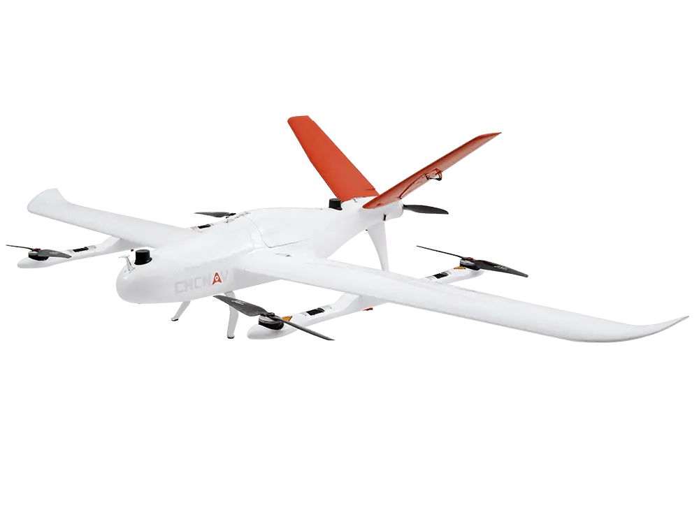
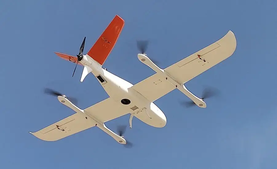
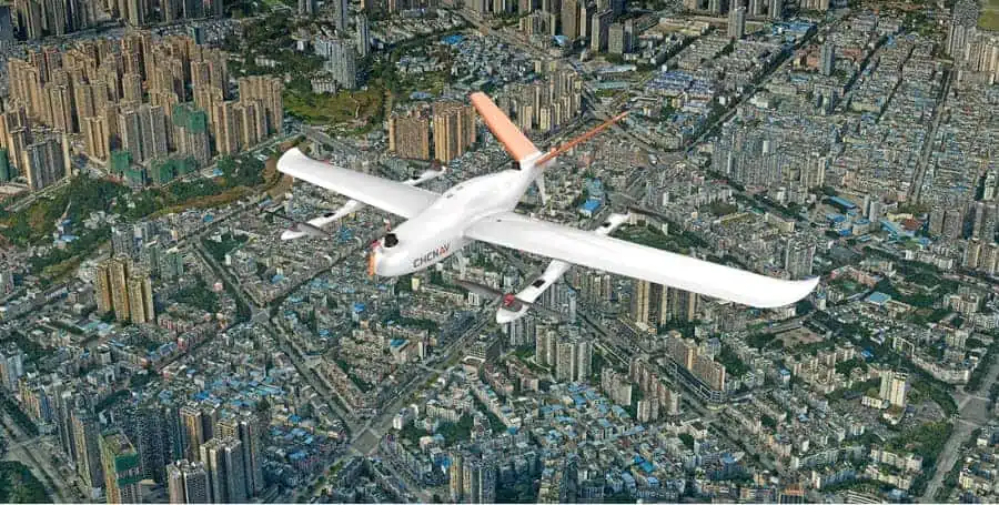
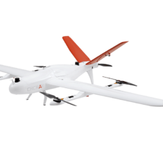
P330 VTOL Drone
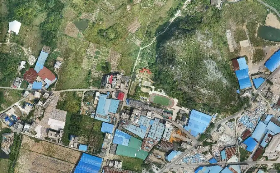
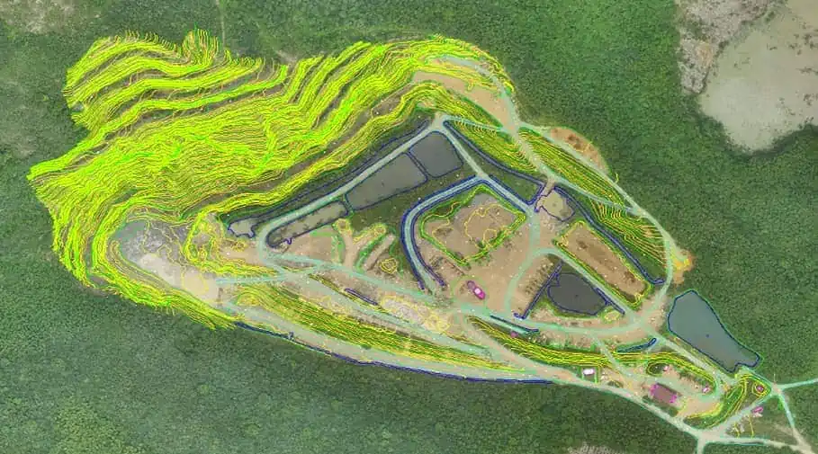
The P330 Pro is a high-performance vertical takeoff and landing (VTOL) fixed-wing unmanned aircraft system (UAS), specially designed for aerial surveying and mapping applications. With its concept of high accuracy, long-endurance, and multiple payloads, it meets the requirements of mapping and aerial surveying professionals for many different applications.
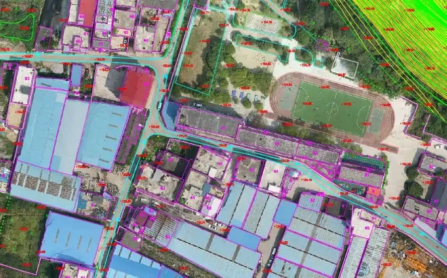
The P330 Pro UAV allows you to conduct small- and large-scale aerial surveys with extreme data quality and cost savings at a significant time. It is an alternative to manned aircraft for surveying and mapping, mining, construction and infrastructure, environmental monitoring, agriculture, etc.
Specifications:
| Dimensions (fuselage length x wingspan) | 1.21 x 2.53 m |
| Maximum Takeoff Weight | 14 kg |
| Maximum Payload | 2 kg |
| Maximum Flight Time | 160 mins (without payload) |
| Cruising Speed | 21 m/s |
| Maximum Altitude | 6000 m |
| RTK Accuracy | Horizontal: 1 cm + 1 ppm Vertical: 2 cm + 1 ppm |


