The evolution of unmanned aerial vehicles (UAVs) has forever changed the modern world’s industrial needs.

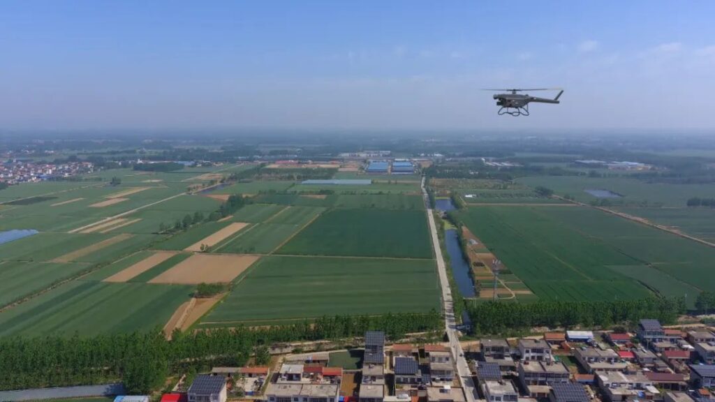
UAVs can be equipped with diverse payload systems, used in a variety of industrial fields for collecting various types of data, resulting in UAVs doing impressive work.
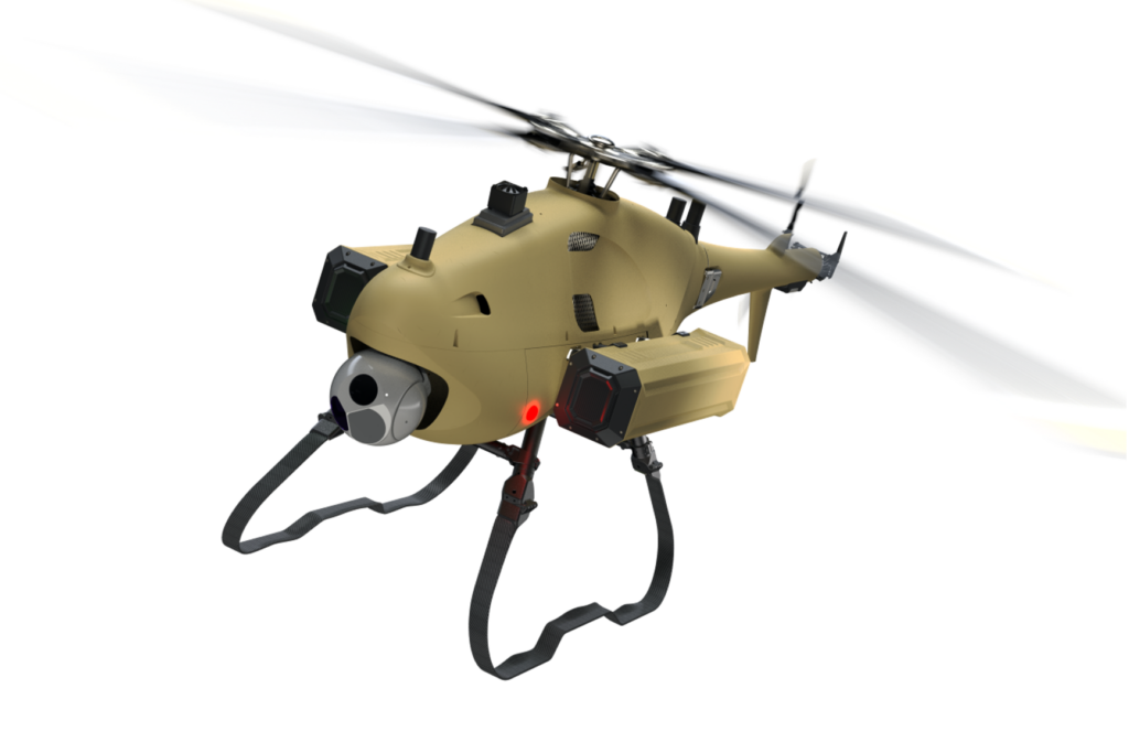
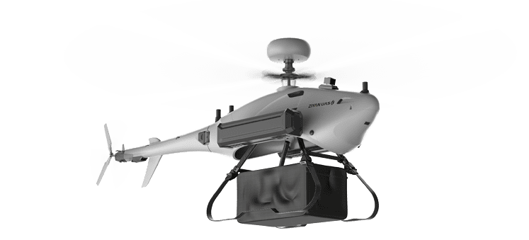
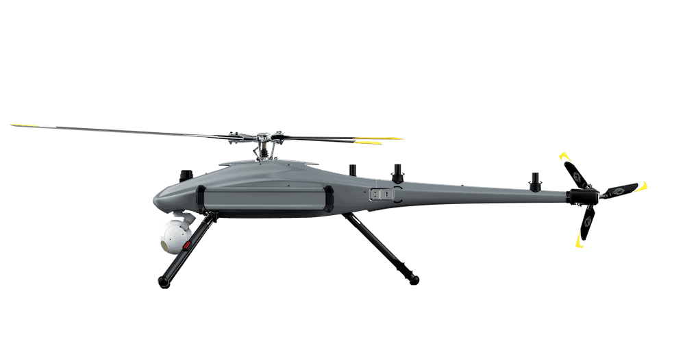
Ziyan UAS provides a variety of solutions for remote sensing by utilizing its unmanned aerial platforms. Ranger P2X from Ziyan is a long endurance UAV which can fly for 120 minutes and cover flight distances up to 120km.
The Ranger P2X can be equipped with a variety of remote sensing payloads and with its long endurance features, maximum operational efficiency is achieved in just a single flight.

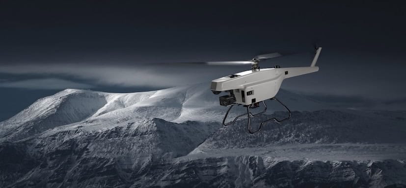
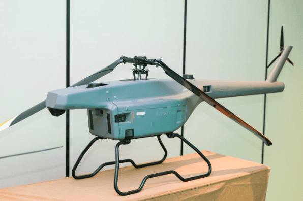
On the other hand, the portable UAV system Falcon 10 from Ziyan is capable of carrying heavier sensory payloads. The portable nature and small size of Falcon 10 makes it easy to transport and carry.
Ziyan remains true to its motto of “Making Flying Easier” with its unmanned platforms, and offers a user-friendly, fast and efficient operation for remote sensing and countless other applications.
Different sensory payloads can be utilized with UAVs for survey, mapping, 3D model reconstruction, detection, etc., and this data can be used for various applications such as construction, power and energy, forestry, disaster monitoring, agriculture, and many more.
The main sensory payloads used with UAVs include imagery sensors, 3-dimensional information sensors, and particle sensors. Imagery sensors have two main types: RGB sensors used for acquiring imagery data in the visible light spectrum, or multi-spectral, for collecting imagery data across multiple spectral bands.

Imagery sensors can capture images up to millimeter resolution. They can also possess multiple lenses for capturing images from different perspectives, yielding more accurate data acquisition for analysis. Imagery sensor payloads are widely used in the construction and mining sectors.
3-dimensional sensors are used with UAVs for collecting data from the Earth’s surface. LiDAR (Light Detection and Ranging) is the most used 3-dimensional sensor for acquiring 3D images.
LiDAR creates a high-resolution model by using light as a pulsed laser, and measures the time it takes for laser pulses to bounce off the ground and return back to the sensor. This helps in creating very detailed 3D maps, which are used in modelling and inspection applications.

Different gases have an absorption peak at different wavelengths, resulting in the identification of gases based on characteristic absorption peaks. These types of sensory payloads are widely used in industrial plants and environmental monitoring.