Fixed-wing mapping drones are UAV platforms designed to capture high-accuracy geospatial data across large areas with greater endurance and coverage than multirotor aircraft. Used for land surveying, precision agriculture, and infrastructure inspection, these systems combine autonomous flight control, advanced navigation technologies, and specialized mapping payloads.
This page features leading fixed-wing mapping UAV manufacturers and VTOL mapping drone suppliers, offering solutions optimized for efficient data acquisition, long-range operations, and survey-grade performance.
If you design, build or supply Fixed-Wing Mapping Drones, create a profile to showcase your capabilities and connect with visitors who have an active requirement for your solutions.
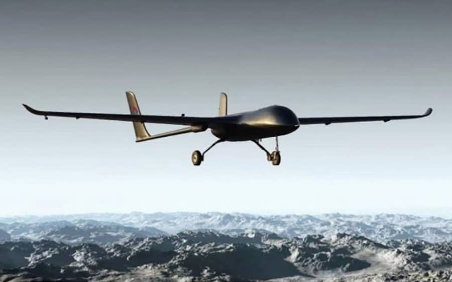
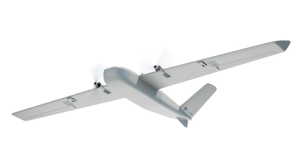
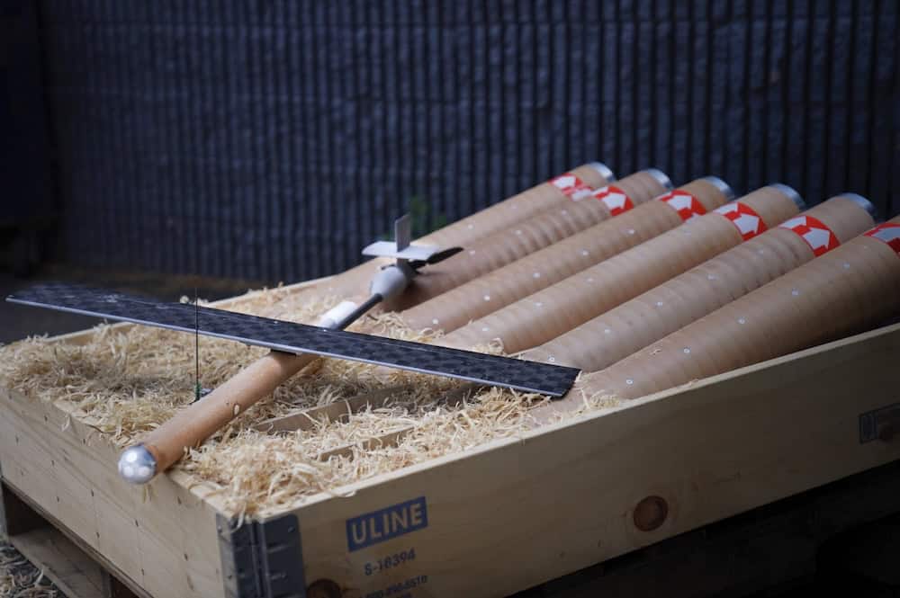
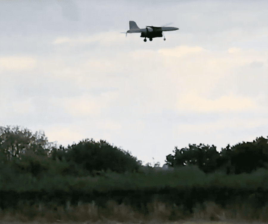
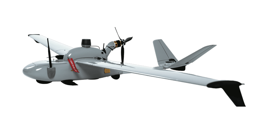
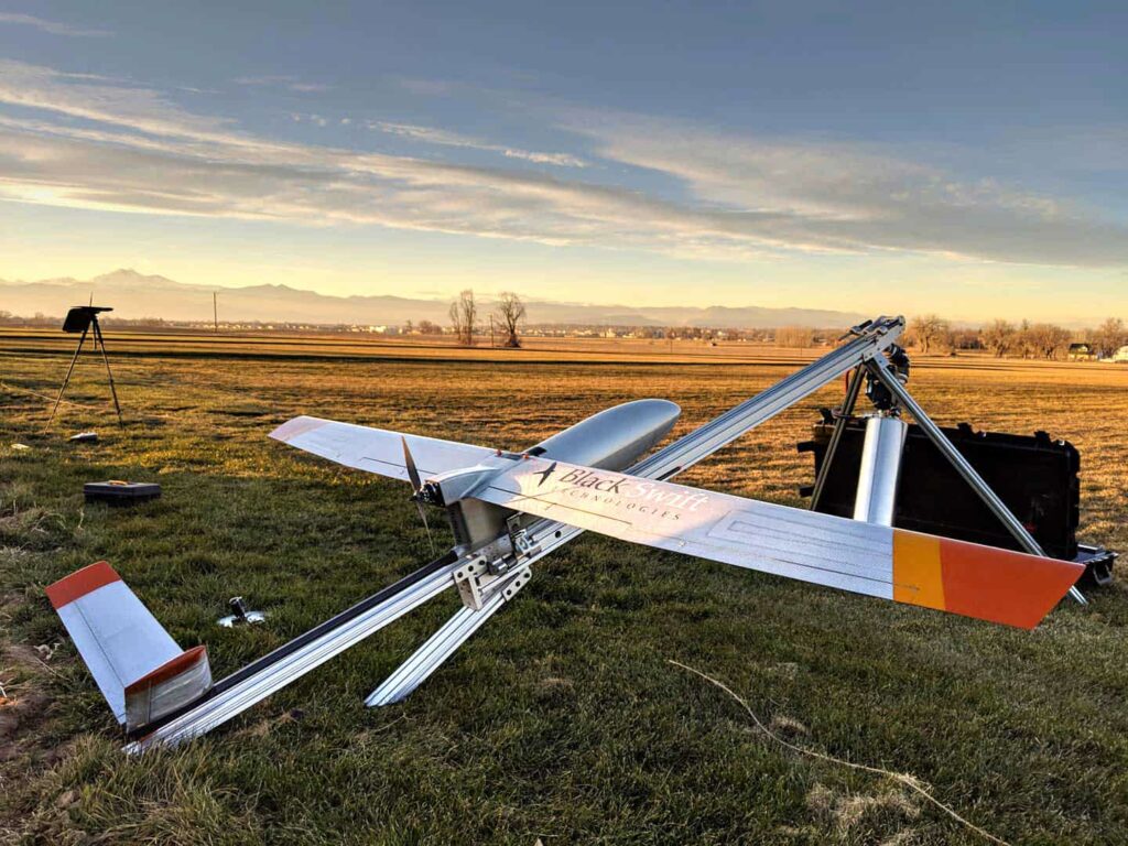
Versatile hybrid VTOL fixed-wing UAV with 12-hour endurance
Versatile hybrid VTOL fixed-wing UAV with 12-hour endurance
... advantages of fixed-wing platforms with the maneuverability and small operational footprint of... ...or radiometric mapping cameras. Dual redundant datalinks and GPS anti-jamming allow it to maintain...
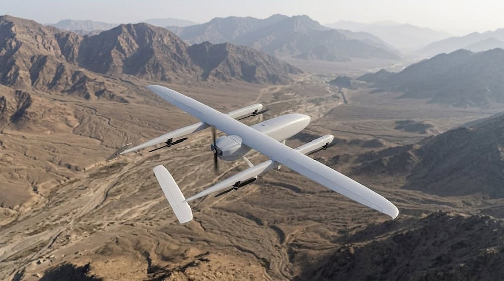
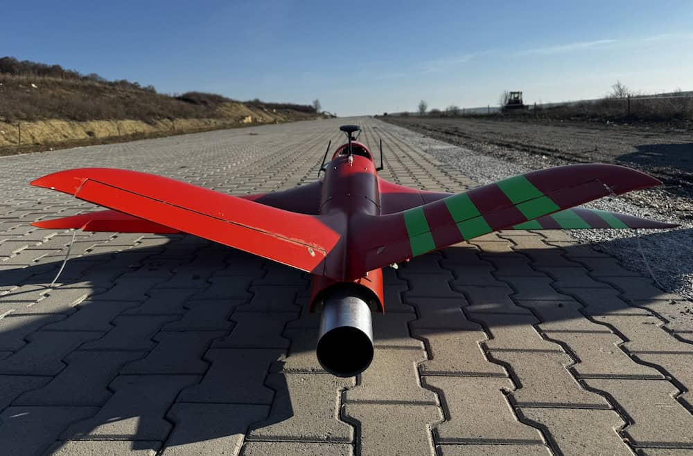
Production-ready electric UAS for mountain intervention units & environmental monitoring
Production-ready electric UAS for mountain intervention units & environmental monitoring
...ready electric drone platform configured for mountain intervention units and environmental... ...ry for terrain mapping. The airframe’s versatility enables monitoring, surveillance, and search...
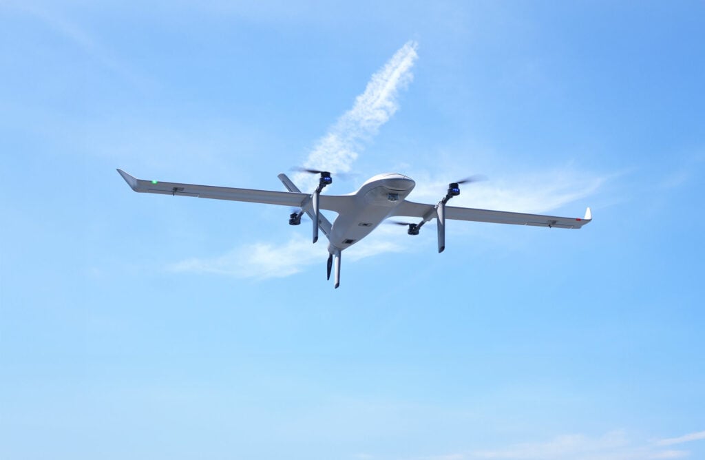
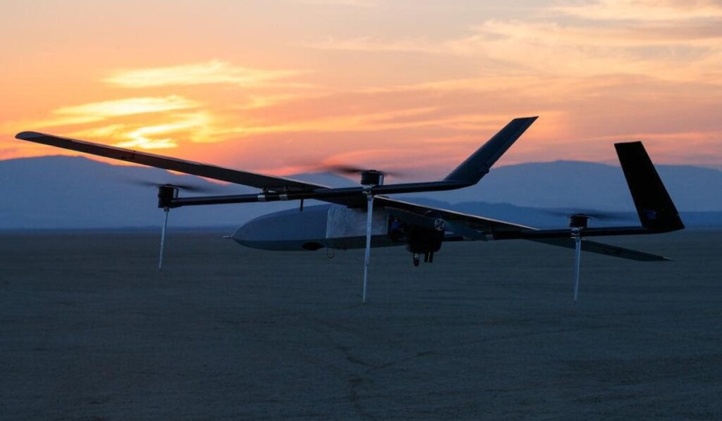
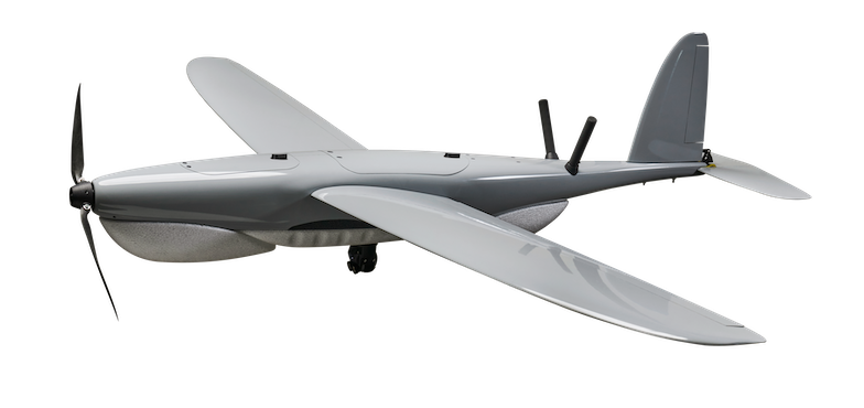
VTOL long-range drone for monitoring & emergency response
VTOL long-range drone for monitoring & emergency response
...VTOL) electric drone designed for long-range monitoring and rapid-deployment emergency missions.... ...ogrammetry for mapping, and emergency package delivery. The HFP-2’s payload options and electric...
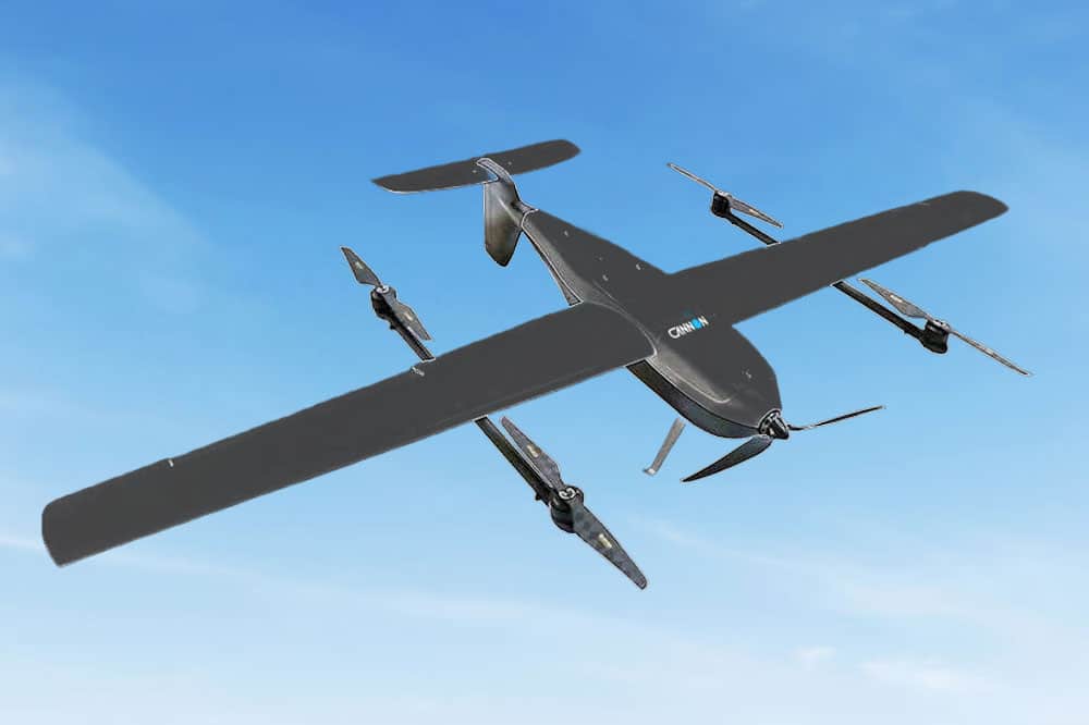
Portable hand-launched fixed-wing UAS for multi-domain operations
Portable hand-launched fixed-wing UAS for multi-domain operations
...ht and compact fixed-wing mini-UAS designed to provide superior data-gathering for mission-critical... ......es a portable tablet-based Ground Control Station (GCS) with comprehensive Drone Manager...
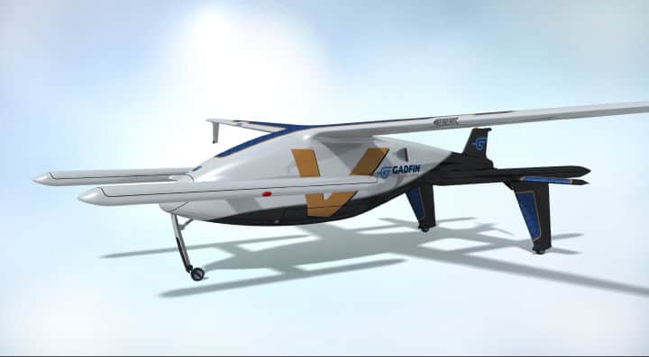
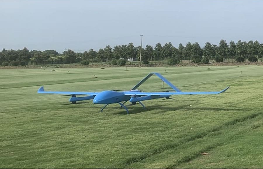
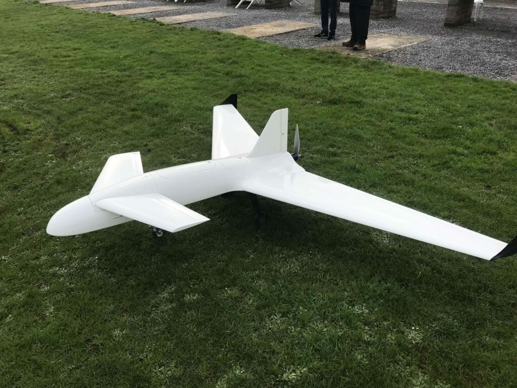
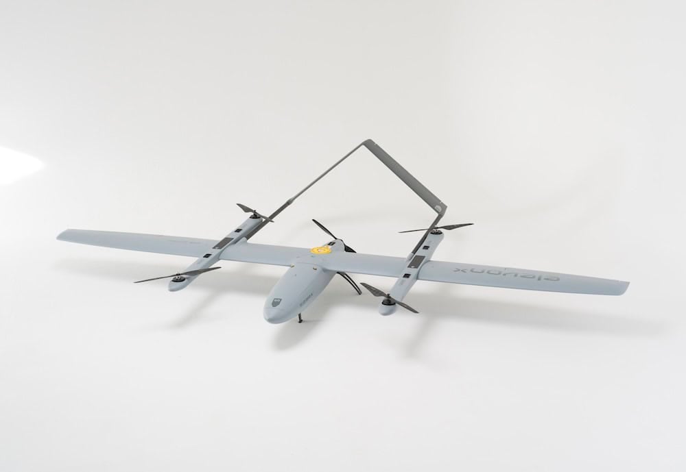
...... as a dedicated fixed-wing VTOL UAV designed with precision for mapping and surveillance... ...ce hybrid VTOL drone that is specifically designed for professional mapping and surveying...
...st hybrid VTOL drone. With a 10 kilogram payload capacity, it is ideal for drone delivery operations... ...the other VTOL drones and features payload delivery at an astonishing cruise speed of 150 km/hr. The...
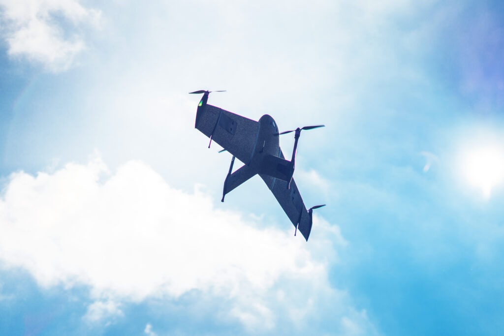
Fixed-wing mapping drones represent a specialized class of Unmanned Aerial Vehicles (UAVs) engineered to gather high-fidelity geospatial data across expansive areas with maximum aerodynamic efficiency. Unlike multirotor platforms that depend on continuous powered lift, a fixed-wing aerial mapping drone utilizes its fixed airframe geometry to generate lift passively as it moves forward. This fundamental aerodynamic difference allows for significantly extended flight times, higher cruise velocities, and unparalleled area coverage per deployment. These characteristics make fixed-wing platforms key for large-scale surveying, environmental monitoring, precision agriculture, asset management, and defense intelligence operations.
Modern fixed-wing mapping UAV platforms integrate autonomous flight control architectures, multi-constellation navigation networks, calibrated high-resolution sensors, and advanced photogrammetry pipelines. Specialized configurations such as VTOL mapping drones incorporate a hybrid architecture that integrates dedicated lift rotors to remove the need for pneumatic launch equipment or expansive clear zones for landing. Whether mapping vast agricultural acreage or generating rapid terrain intelligence for tactical deployment, these advanced aircraft provide engineering professionals with a precise balance of endurance, accuracy, and operational flexibility.
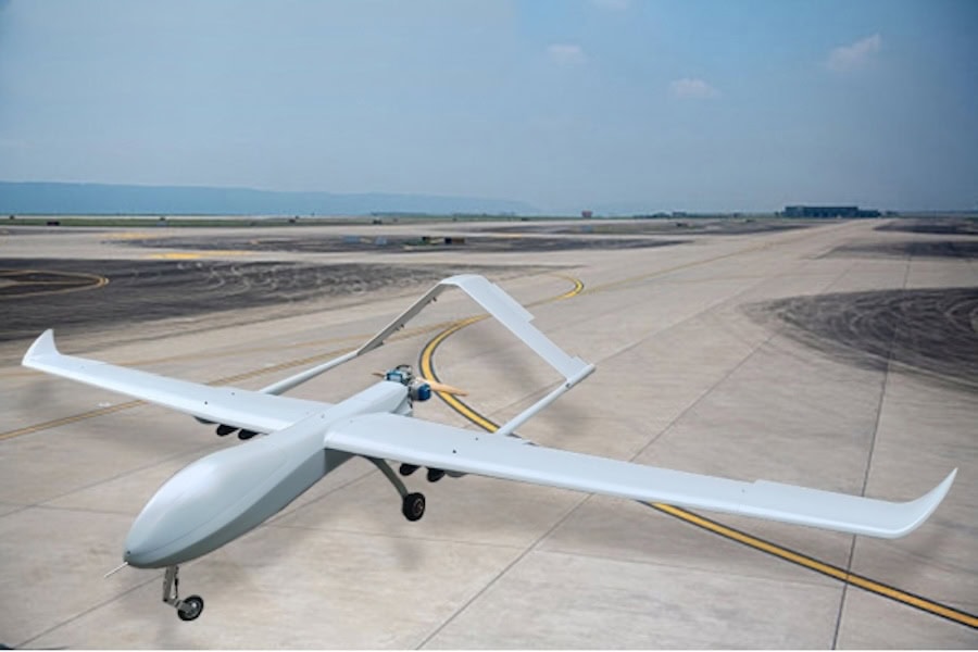
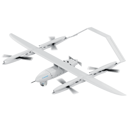
Star-X GP-8000 Fixed-Wing UAV for Mapping by Austars Model
Core Advantages of Fixed-Wing Mapping UAVs
Land Surveying, Geospatial Mapping & Construction
Engineering firms and surveyors leverage fixed-wing platforms to generate high-density orthomosaics, digital terrain models, contour maps, and GIS layers for civil engineering, infrastructure planning, and cadastral surveying. Throughout the asset lifecycle, these mapping drones provide stakeholders with highly repeatable site surveys, volumetric calculations for earthworks, progress tracking, and accurate baseline data for building digital twins. Project managers use these regular updates to verify that work on the ground matches the original engineering designs exactly.
Agribusinesses deploy fixed-wing systems to monitor crop health, assess drainage and irrigation efficiency, detect nutrient stress, and optimize input distribution across thousands of hectares in a single day. Collecting data at this scale enables large-scale farming operations to spot localized issues early, protecting yields while lowering chemical costs.
Utilities & Infrastructure Inspection
Pipelines, rail networks, and high-voltage transmission lines span vast distances. Fixed-wing platforms map these corridors continuously, capturing high-resolution imagery and structural data without interrupting utility operations or requiring dangerous manual inspections.
Government and research institutions use fixed-wing platforms to track coastal erosion, monitor wetland degradation, map wildlife migration patterns, and study ecosystem shifts over macro-geographical areas. In forestry, these same systems assist in calculating canopy closure, estimating biomass, planning harvest sectors, inventorying timber volume, and mapping wildfire burn scars.
Coastal, Maritime & Shoreline Survey Operations
Fixed-wing UAVs handle the unique challenges of marine environments, mapping shorelines, tracking sand dynamic shifts, assessing coral health, and monitoring offshore infrastructure installations. The extended flight radius is crucial here, allowing the aircraft to cover open water and complex coastal zones that are difficult to reach by boat.
Disaster Response & Tactical Intelligence
Following extreme weather, seismic events, or industrial accidents, rapid geospatial intelligence is vital. Fixed-wing mapping drones deploy quickly to assess damage, map passable routes, and deliver situational awareness to emergency response commanders. In military settings, defense forces utilize these same mapping capabilities for tactical terrain analysis, route reconnaissance, mission rehearsal modeling, and battlespace visualization.
Mapping Payloads for Fixed-Wing Configurations
Selecting the optimal payload suite is critical for maximizing data fidelity and matching the specific requirements of the geospatial mission.
Sensor Category
Core Operational Function
Primary Industry Applications
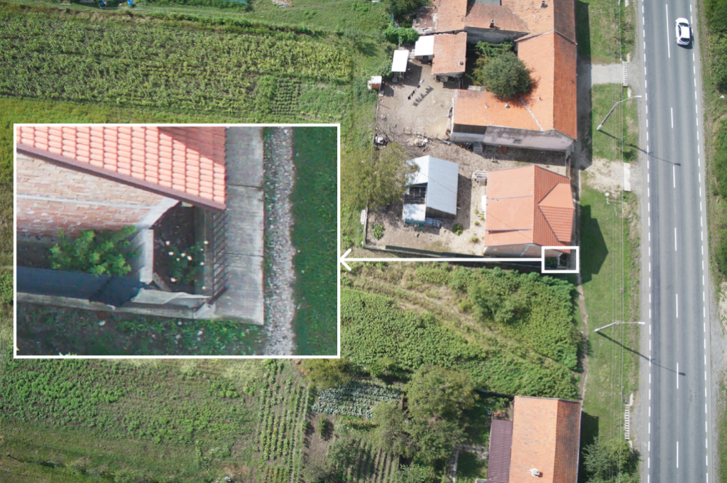
RGB Mapping Cameras
High-resolution, full-frame imaging featuring mechanical shutters to completely mitigate motion blur. Processes into survey-grade orthomosaics and 3D point clouds.
Cadastral surveying, civil engineering, construction progress tracking, and infrastructure planning.
Active microwave imaging systems designed to render terrain data independently of cloud cover, smoke, fog, or variable illumination.
All-weather defense ISR, tactical maritime surveillance, and emergency macro-damage mapping.
Design & Construction Considerations
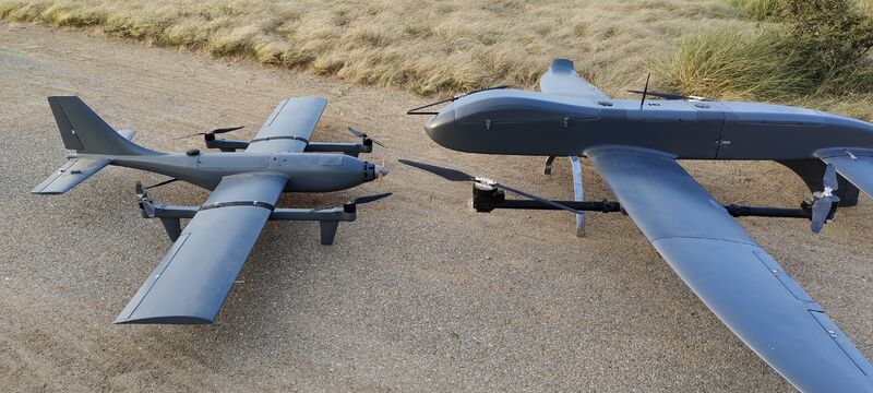
Airframe Architectures and Configurations for Long-Range Mapping
Industrial mapping airframes balance aerodynamic lift, structural durability, and internal volume. The selected architecture dictates payload capacity, crosswind limits, and cruise efficiency.
Conventional and Flying-Wing Mapping Drone Designs
Conventional layouts feature a distinct fuselage and tail assembly, providing excellent stability and predictable handling in turbulent air. Conversely, flying-wing designs eliminate the tail entirely to maximize aerodynamic efficiency and structural simplicity, resulting in a durable, low-drag platform.
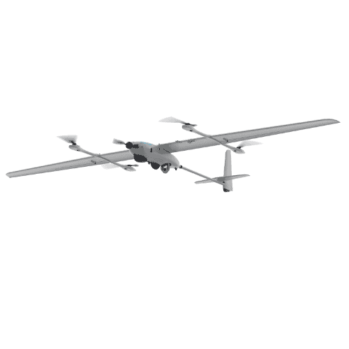
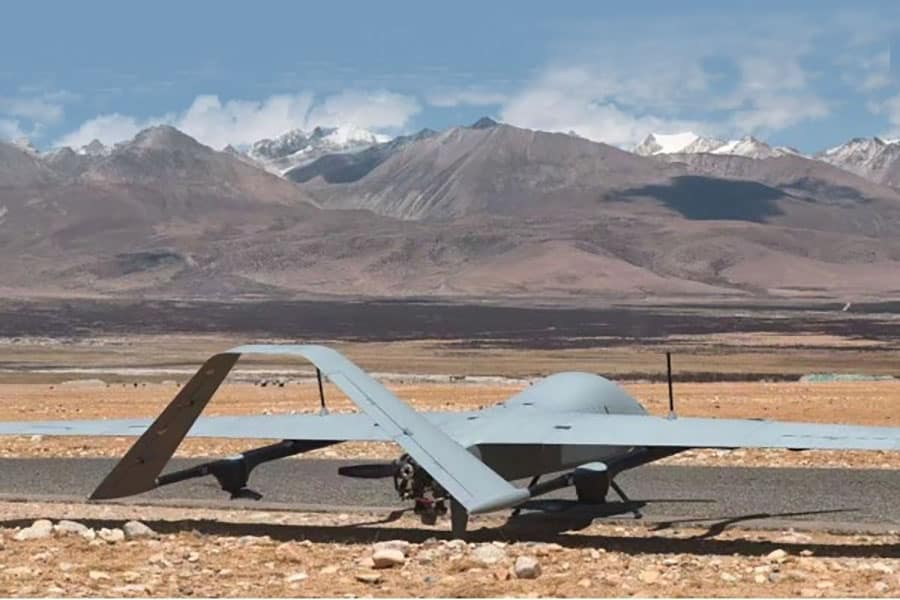
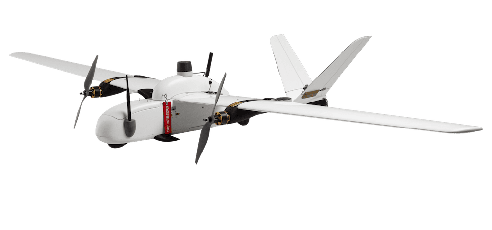
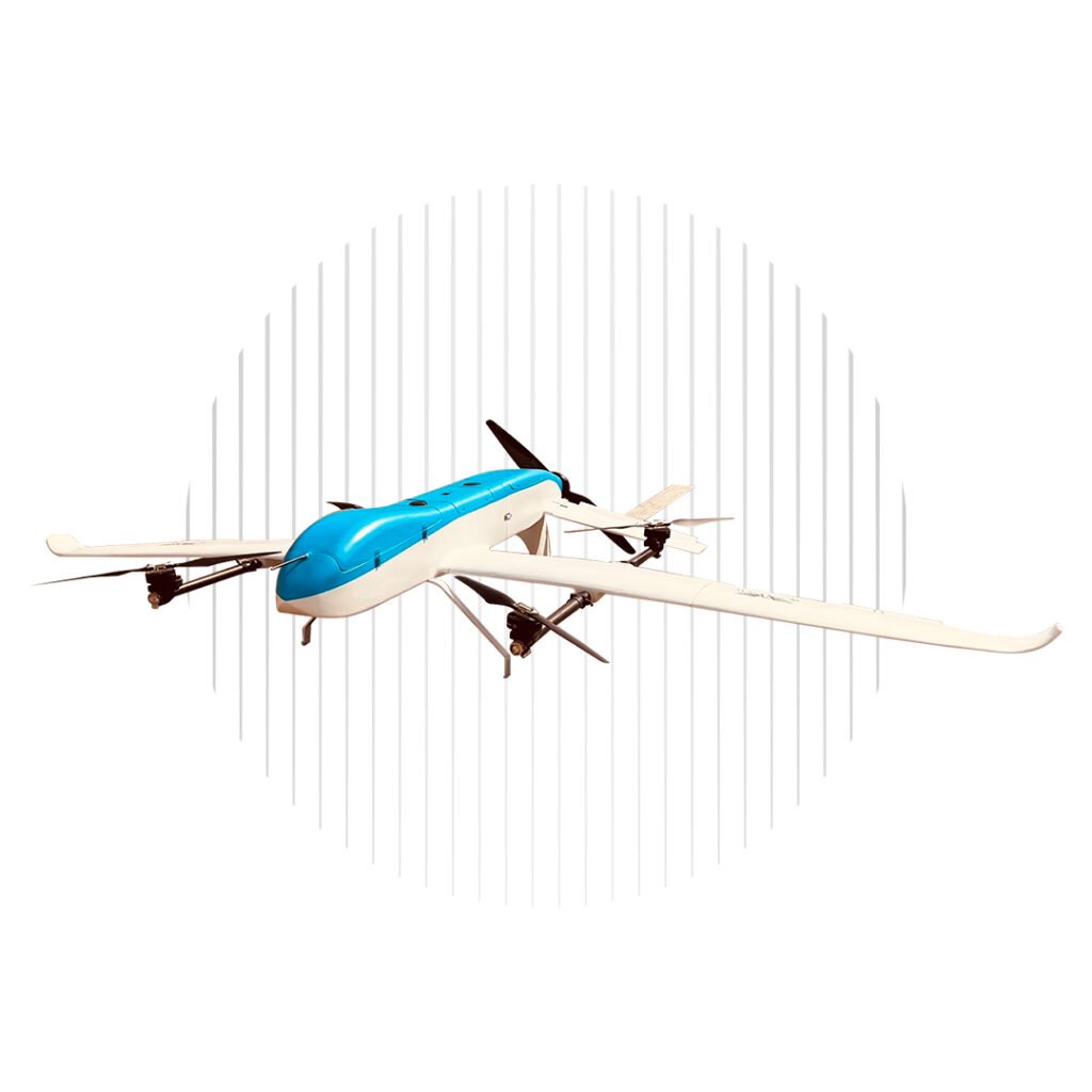
Survair Hybrid VTOL Fixed-Wing Mapping Drone by Woot Tech Aerospace
Composite, Foam and Advanced Structural Materials
Modern platforms employ a strategic mix of materials. Expanded Polypropylene (EPP) foam carbon-reinforced structures offer impact resilience and field repairability for rugged environments. High-performance composite platforms, utilizing carbon fiber and Kevlar layups, provide the torsional rigidity and weatherproofing required for high-wind, heavy-payload commercial operations.
Wing Design Considerations for Mapping Accuracy
Aspect ratio, airfoil selection, and wing loading directly affect flight stability. Mapping platforms prioritize high-aspect-ratio wings to reduce induced drag and damp out high-frequency atmospheric turbulence, ensuring stable sensor pointing and consistent image overlap.
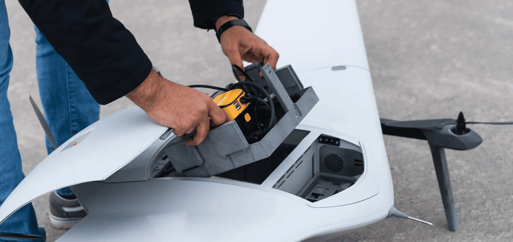
Mapping Payload Integration and Internal Layout
Internal bay architecture must isolate delicate optical and sensor components from high-frequency propulsion vibrations. Electromagnetic shielding is critical to prevent interference between high-draw payload components, internal flight controllers, and telemetry transceivers.
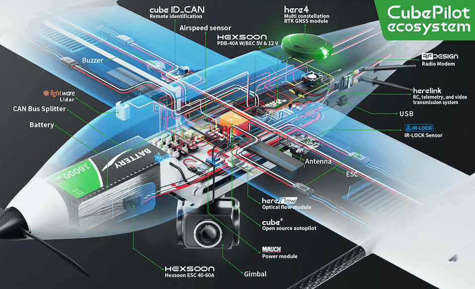
Navigation, Guidance & Autonomy Systems
The core operational reliability of industrial mapping platforms depends heavily on a deeply integrated suite of avionics, positioning hardware, and adaptive navigation routines.
Autopilot Architecture and Flight Control Systems: The central flight computer processes sensor data at high frequencies to maintain stable flight, manage throttle curves, and execute automated waypoint patterns with zero pilot intervention.
GNSS Navigation and Positioning Technologies: Multi-constellation GNSS receivers track GPS, GLONASS, Galileo, and BeiDou networks concurrently to maintain accurate flight tracks even in challenging signal environments.
RTK and PPK for High-Accuracy Mapping:Real-Time Kinematic (RTK) and Post-Processed Kinematic (PPK) satellite correction technologies provide centimeter-level positional accuracy for every image capture point, minimizing the need for labor-intensive Ground Control Points (GCPs).
Inertial Navigation Systems (INS): Tactical-grade MEMS inertial navigation systems work alongside GNSS networks to provide precise dead-reckoning capabilities during temporary satellite signal drops or jamming events.
Terrain Following and Adaptive Flight Planning: Advanced flight computers leverage integrated digital elevation models to automatically adjust altitude relative to the landscape, ensuring a constant Ground Sample Distance (GSD) and consistent image overlap over changing terrain.
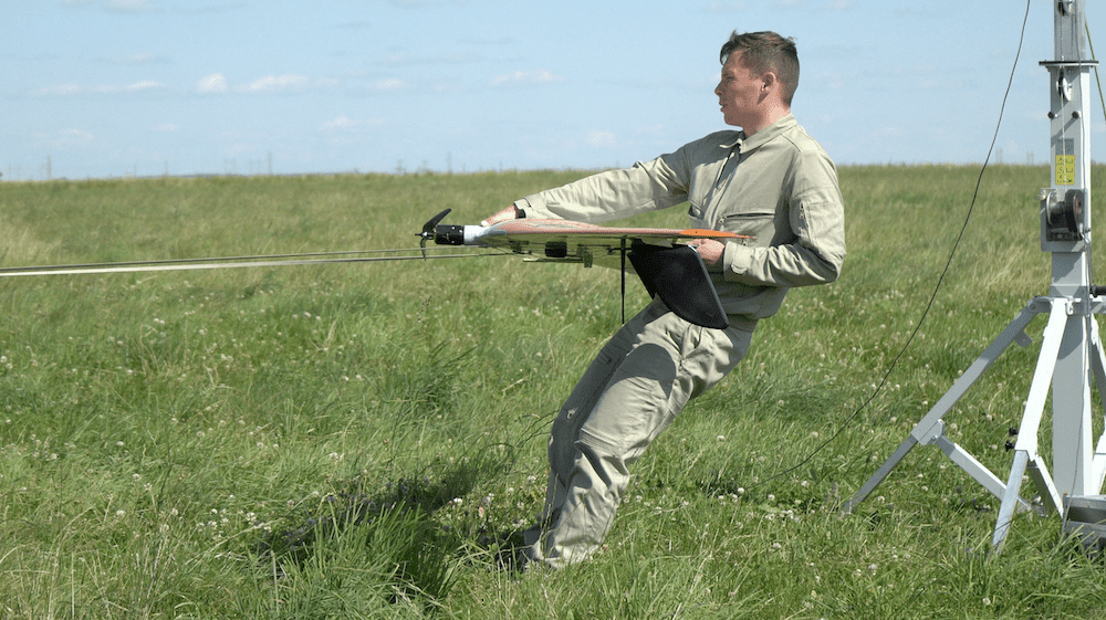
Autonomous Mission Execution: Modern mapping workflows are fully automated, handling everything from pre-flight checks and launch sequences to precise grid navigation, contingency handling, and final recovery.
These interconnected subsystems collectively ensure that the aircraft functions as an accurate, deterministic data acquisition laboratory throughout the flight profile.
Emerging Trends in Fixed-Wing Mapping Drones
Recent technological convergence is shifting fixed-wing platforms from passive, sequential data loggers into reactive, intelligent aerial assets.
AI-Driven Mission Planning and Path Optimization: Onboard AI algorithms actively optimize flight paths in real time, calculating localized aerodynamic wind shifts and micro-meteorological changes to dynamically maximize payload efficiency and battery life.
Edge Computing and Real-Time Asset Tracking: High-throughput onboard companion computers process raw sensor streams mid-flight, deploying lightweight deep learning algorithms to run instant feature-matching, track high-value targets, and detect critical environmental changes prior to landing.
Next-Generation Navigation in GNSS-Denied Environments: Advanced airframes are integrating visual inertial odometry, optical flow arrays, and automated terrain-matching systems to safely execute precision mapping runs when satellite networks are compromised or heavily jammed.
Coordinated Autonomous Swarm Operations: Collaborative flight control protocols allow synchronized groups of fixed-wing assets to divide massive geospatial grids among themselves, executing complex parallel data acquisition missions over vast geographical areas in a single operational window.
These foundational advancements in computing density and alternative navigation ensure that large-scale geospatial intelligence collection remains resilient under increasingly hostile or complex field conditions.
CubePilot has released details of the ekoSKY by BZB UAS, which is equipped with a vertical takeoff and landing system, is made of composite materials, and is powered only by electric motors
ideaForge will be displaying a range of UAVs at CUAV 2023 including the Switch and Netra V4 Pro, and has also presented the Early Adopter Program, to try the drones before purchase
DeltaQuad’s Evo VTOL UAV sets a new standard with a flight time of 2.5 hours, covering up to 500 ha with the YellowScan LiDAR and RGB system in a single flight
UAVOS used a solution based around its fixed-wing Borey UAS with a multispectral sensor payload designed to provide both spatial and temporal resolution for better understanding of soil moisture levels
Topcon Solutions Store will be responsible for the distribution of Marlyn Cobalt drones in the US, and will provide assistance and maintenance services to local UAV operators
Atmos has released a case study that explains how Neptune Site Services used the company’s Marlyn Cobalt drone equipped with the...
Feb 27, 2023
Advancing Unmanned Systems Through Strategic Collaboration
UST works with major OEMs to foster collaboration and increase engagement with SMEs, to accelerate innovation and drive unmanned systems capabilities forward.