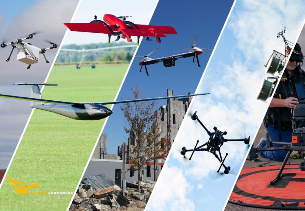
Showcase your capabilities
If you design, build or supply Mapping Drones, create a profile to showcase your capabilities and connect with visitors who have an active requirement for your solutions.


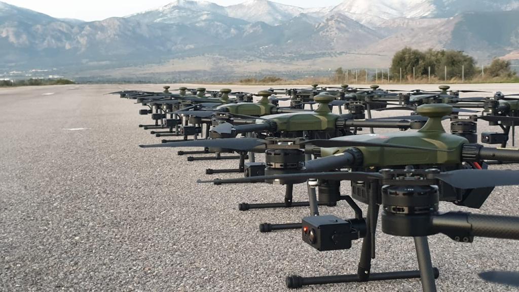
Suppliers and manufacturers of Mapping Drones, UAV, UAS & RPAS for 3D and aerial mapping applications
Read the Technology Overview
Advanced VTOL & Fixed-Wing UAVs | State-Of-The-Art Technologies for Unmanned & Autonomous Aircraft
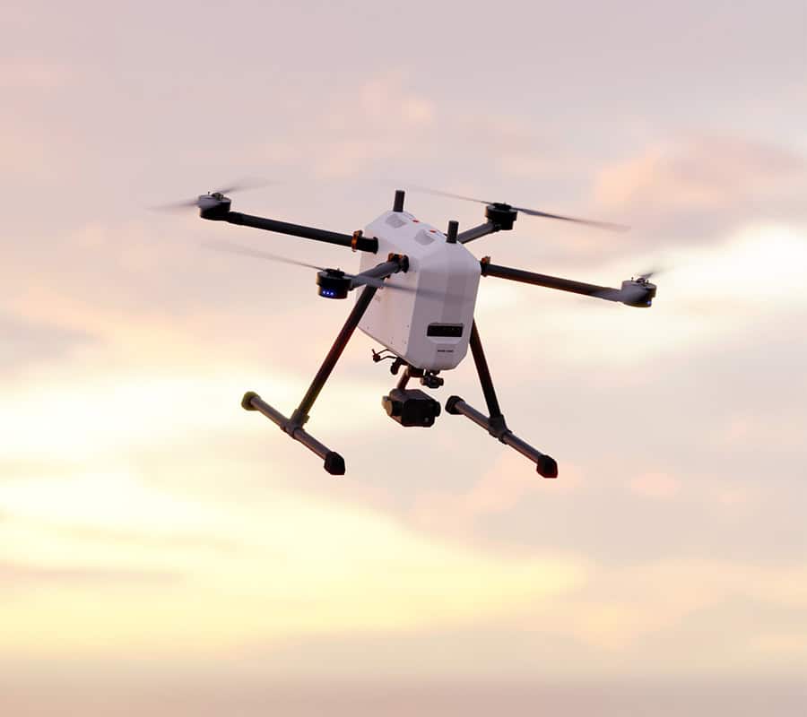
Fully Autonomous Multirotor Drones & Hybrid VTOL UAVs With AI Capabilities
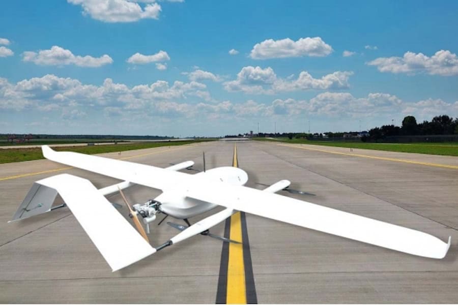
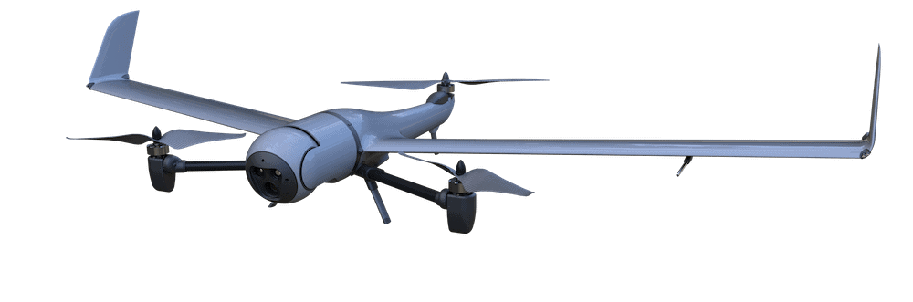
Fixed-Wing UAV Systems: Modular VTOL, Long-Range Maritime UAV, Tactical ISR UAS
Drone Technology Supplier & Drone Service Provider for Public Safety, Transportation & Training
Innovative Turnkey UAS Solutions for Mission-Critical Civilian & Defense Applications
Advanced Aerial Intelligence & Situational Awareness Technologies for Military, Security & Civilian Applications
Professional, US-Made Multirotor Drones for Commercial & Government Applications
Advanced Autonomous UAV Platforms for Wide Area Actionable UAS Intelligence

Customizable, Long-Range Fixed-Wing Drones - Twin-Wing Design Heavy Lifting Drones

Versatile Fixed-Wing & VTOL Unmanned Aerial Vehicles (UAVs) for Long-Range Civilian, Commercial & Military Applications
Long-Endurance Hybrid VTOL UAS for Persistent ISR & Multi-Mission Operations
Helicopter UAVs: Rotary Wing Drones for Maritime, Naval & Security Operations | UAS GCS
Commercial Drones for Delivery, Surveying, Agriculture, Security & Mapping - Target Drones - UAS GCS

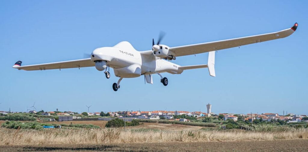
Fixed Wing VTOL UAV for Autonomous Mapping, Surveillance, Inspection and Cargo Applications

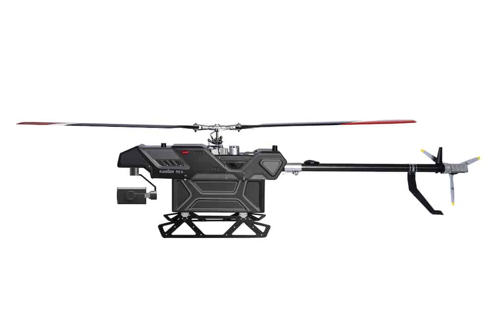
Long-Range Autonomous Helicopter Drone for Inspections, Surveillance, Search & Rescue, and Monitoring
GNSS Positioning & Navigation Systems, Mobile Mapping UAV LiDAR & Unmanned Surface Vehicles
Autonomous UAS, Research & Inspection UAVs for Industrial Inspection, Survey & Mapping
Professional Drones, Quadcopters, Multirotors & Hexacopters for Cinematography, Survey & Inspection
If you design, build or supply Mapping Drones, create a profile to showcase your capabilities and connect with visitors who have an active requirement for your solutions.


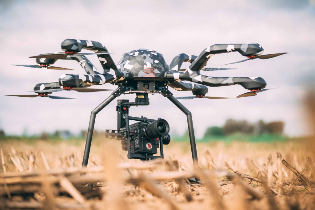
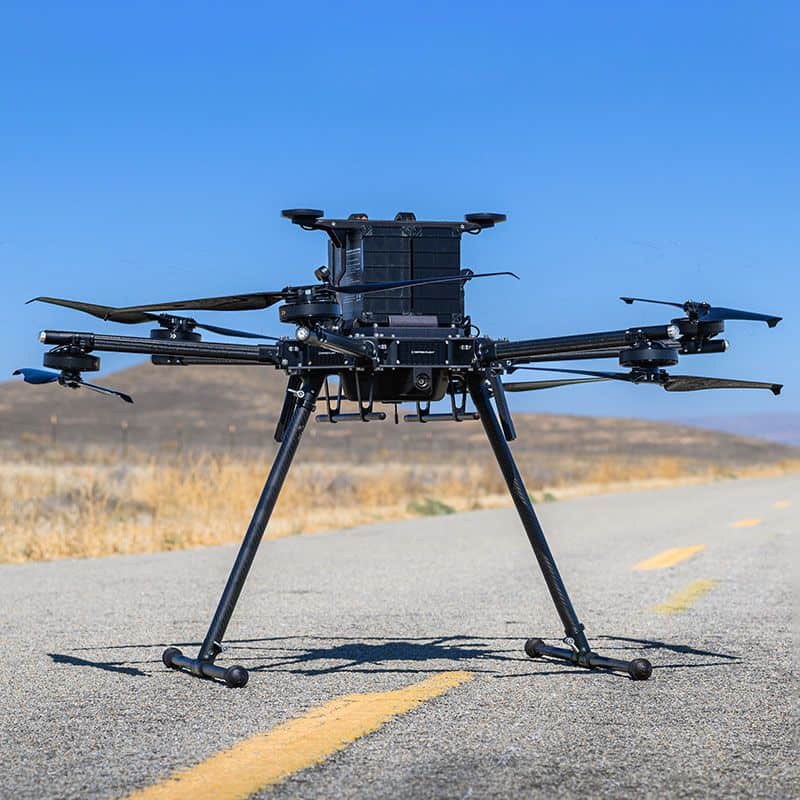
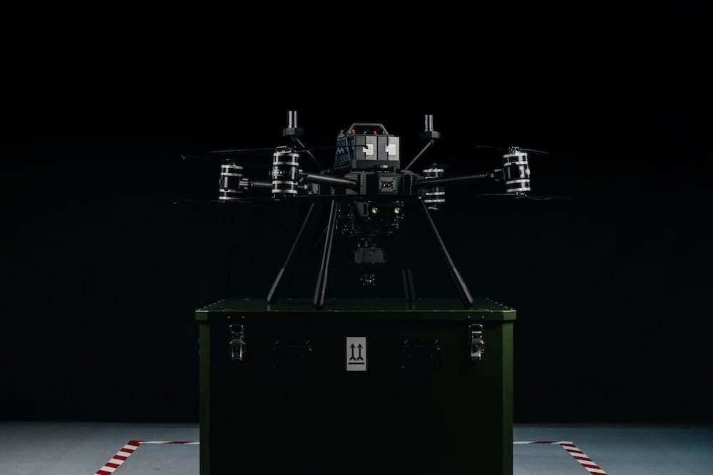
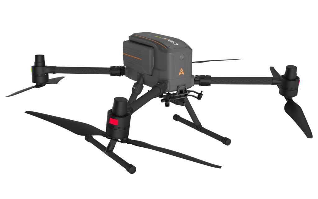
BB4 LiDAR Mapping Drone by CHC Navigation
Drone mapping is the process of using drones to gather aerial data such as high-resolution imagery and sensor readings that can be used to create accurate maps and models. The use of mapping drones is typically much less expensive than using manned aircraft, as power requirements are often less, and missions can be automated thus cutting down on the manpower needed. Aerial mapping drones can also fly at lower altitudes than manned aircraft, leading to higher resolution imagery.
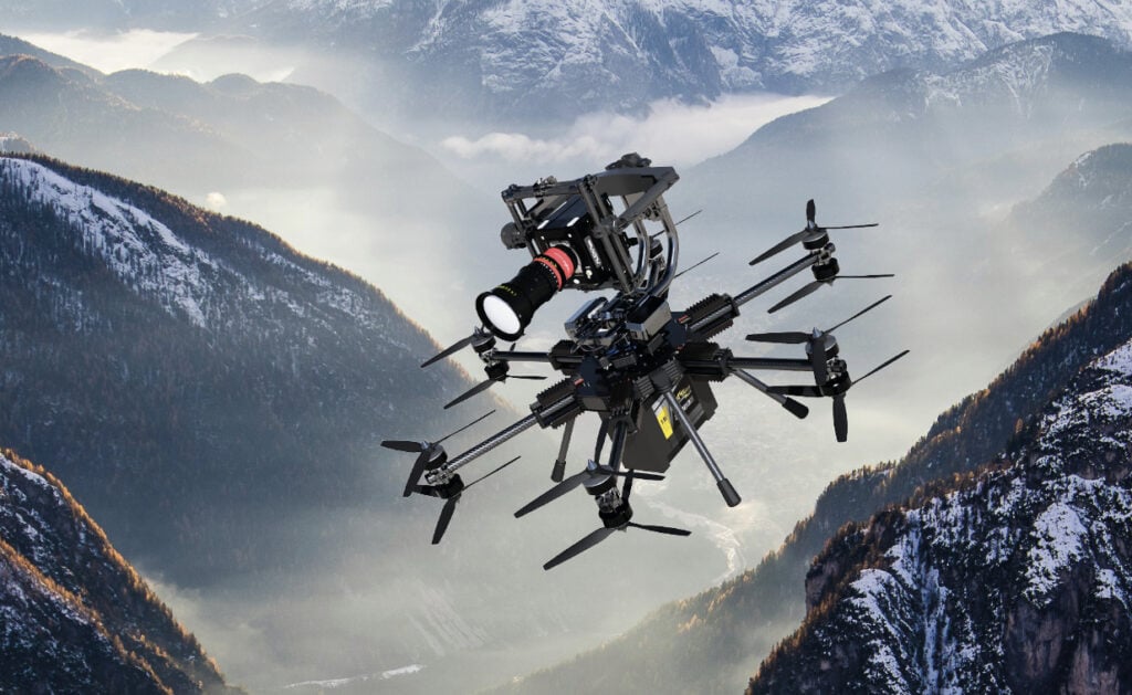
Mapping UAV (unmanned aerial vehicles) vary in type and configuration, with selection generally driven by the type of drone mapping project to be completed and the image capture requirements. Drone mapping can be conducted with fixed-wing , single-rotor (unmanned helicopter) or multirotor drones, with advantages and disadvantages for each.

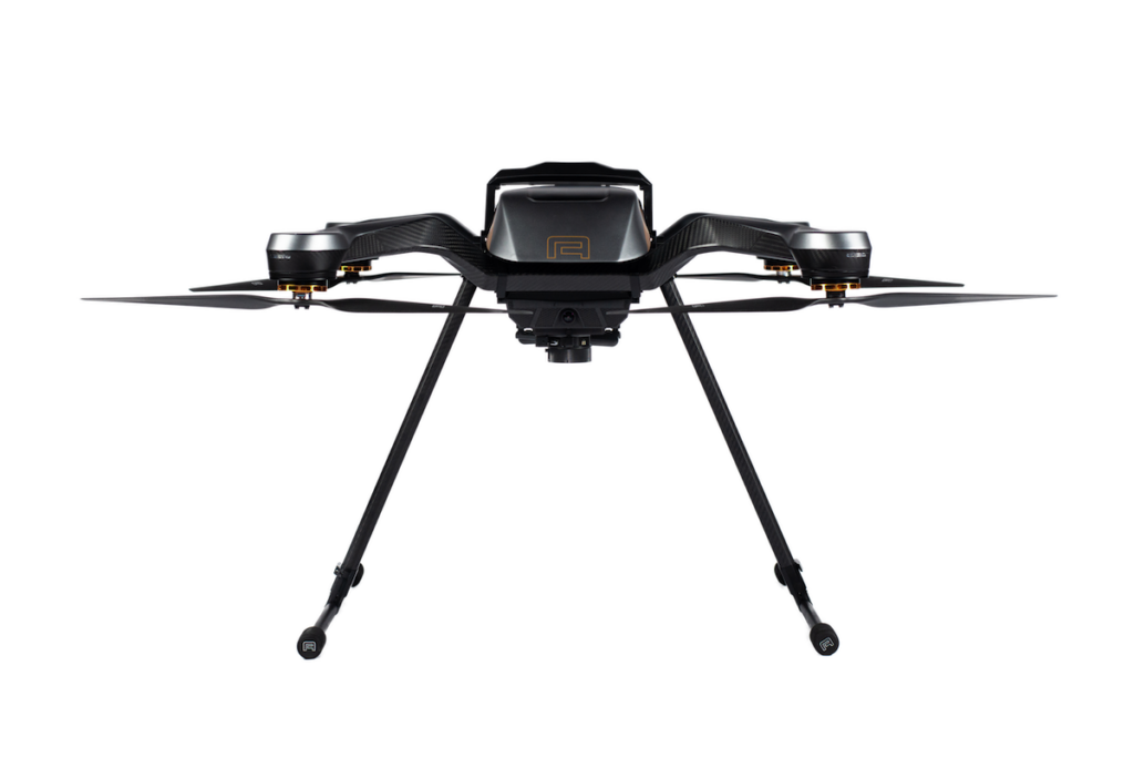
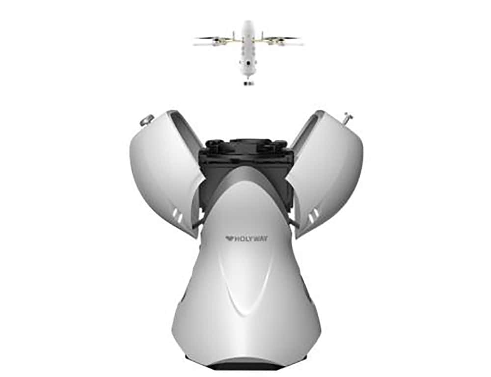
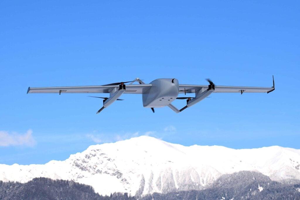
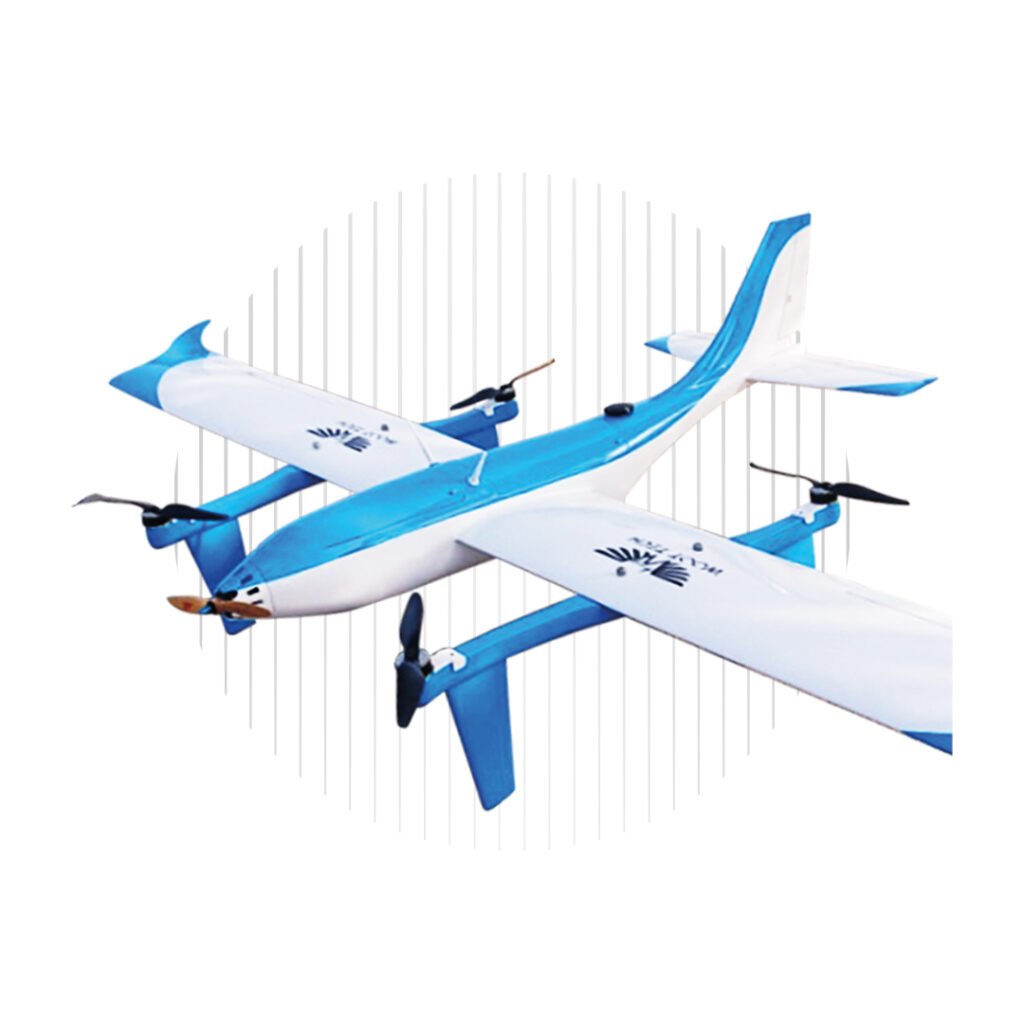
Edge 130 Blue VTOL Tricopter for Mapping by Red Cat Holdings
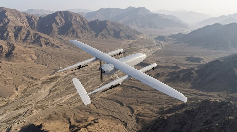
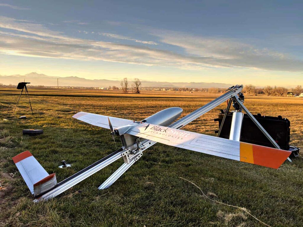
Fixed-wing UAV typically have much longer flight endurance than multirotor drones, allowing them to map a larger area in a single flight, and can carry heavier payloads. However, they need larger amounts of space to take off and land, and may also need specialised launching equipment. Fixed wing mapping drones are also unable to hover in place.
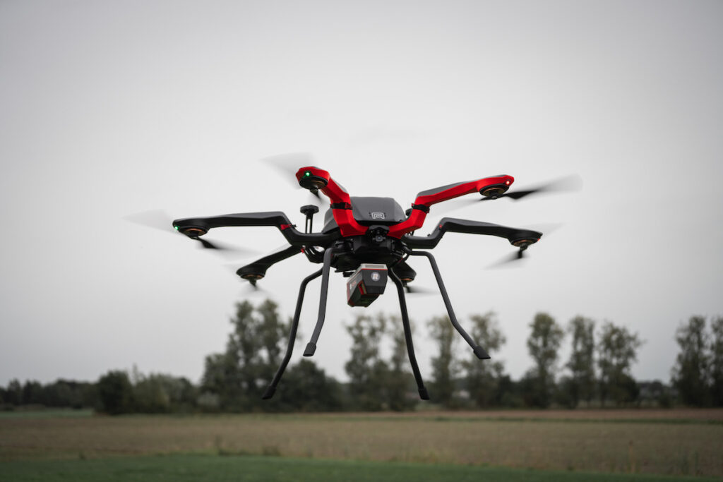
Multirotor and unmanned helicopter have VTOL (Vertical Takeoff and Landing) capabilities and can hover in place. Single rotor aerial mapping drones are typically larger and have superior range and payload capacities than multirotor drones, especially those with combustion engine propulsion systems. Most multirotor systems are battery-powered and thus limited in flight time, meaning that mapping missions will require more drone flights.
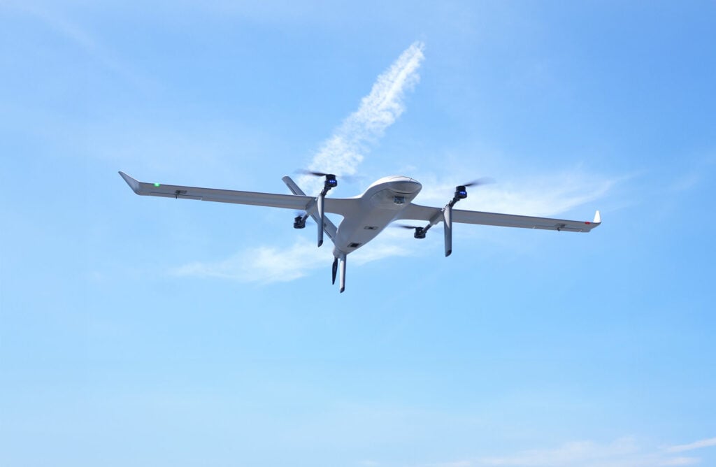
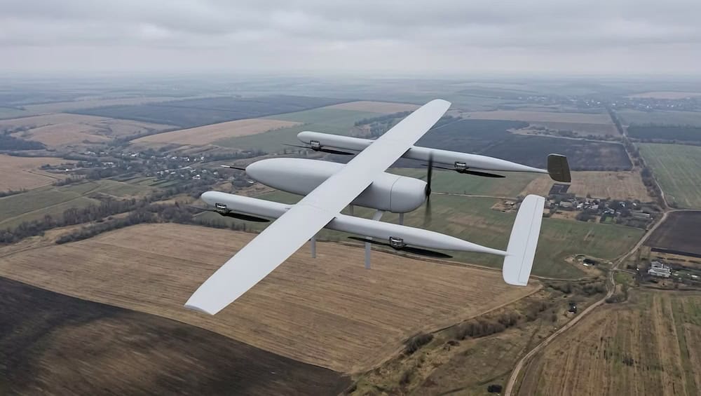
Hybrid fixed wing UAV combine the VTOL capabilities of rotary drones with the longer flight times and heavy payload capacity of fixed-wing drones. This makes them ideal for mapping applications and land survey as they can be rapidly deployed and landed, even in remote and hard to reach locations.

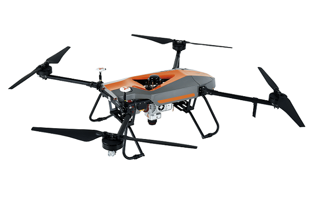
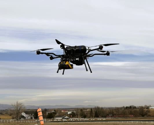
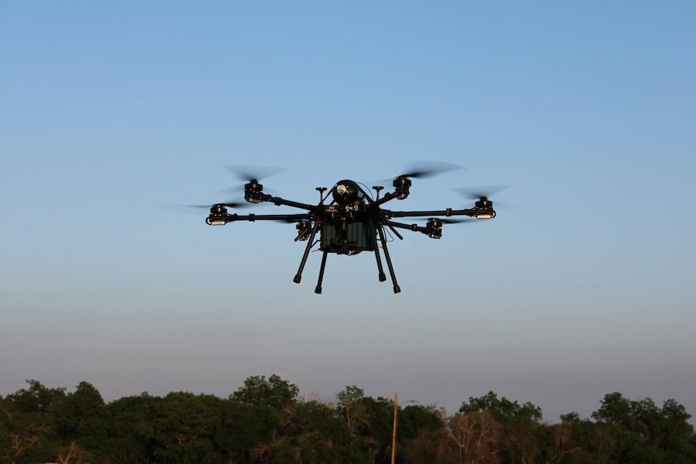
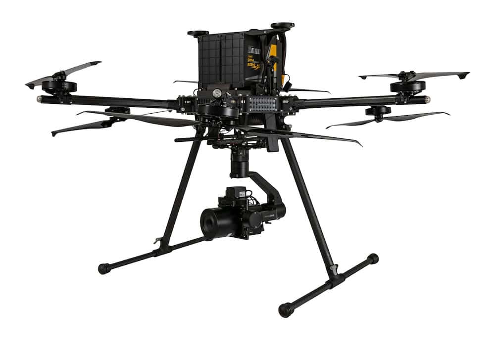
BVH616 (HEIFU Pro) Hexacopter UAV by Beyond Vision
Photogrammetry is the derivation of precise measurements from photography. These measurements can be used to create accurate maps.
Drone photogrammetry for mapping uses a downward-facing camera mounted on the drone, with mapping missions being flown autonomously by programming the drone with a series of waypoints that are navigated using GNSS. Flights are performed so that multiple overlapping photos of the target area are captured, leading to increased accuracy.
The images from UAV photogrammetry surveying are used to create orthomosaics – stitched-together images that have been corrected for camera distortion, noise and topographical relief. Orthomosaic maps are highly accurate representations of the surface of the Earth and can be used to measure distances accurately.
LiDAR measures the reflections of pulses of laser light to calculate the distances from objects, and a survey-grade LiDAR payload mounted on a drone can produce highly accurate dense point clouds that can be used to create detailed 3D models of landscapes and objects. One advantage of LiDAR technology for drone mapping is that the laser pulses are able to penetrate through gaps in vegetation, thus giving an idea of the nature of the foliage.
The data captured from LiDAR-equipped mapping drones can be used to create 3D models and contour maps, as well as perform accurate volumetric calculations.

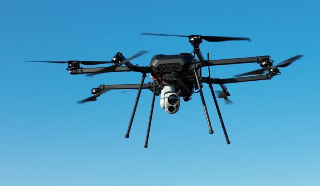
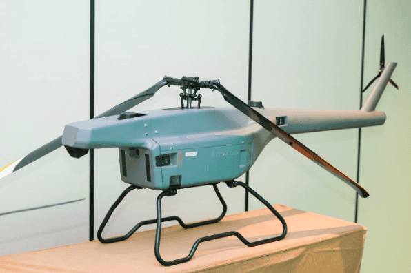
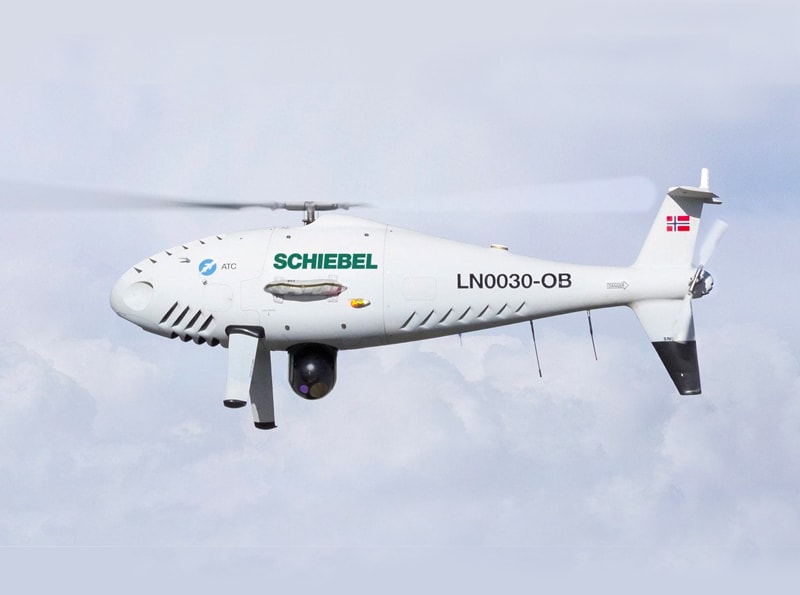
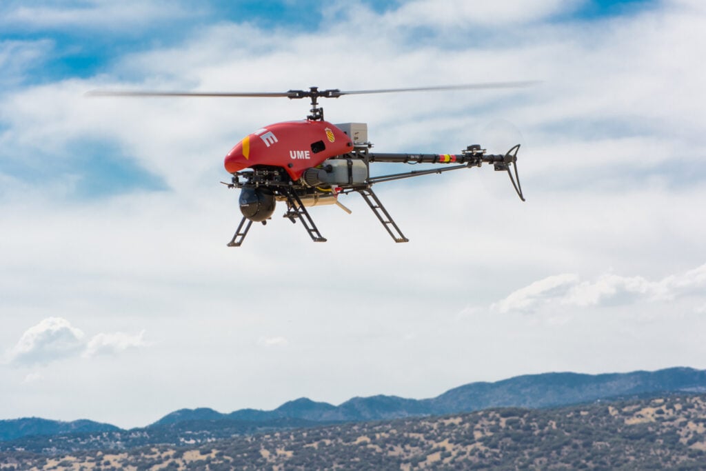
Alpha 800 UAV Helicopter for Mapping by Alpha Unmanned Systems
Drones equipped with infrared imaging systems can be used to carry out thermal mapping missions. Thermal mapping is usually used for industrial inspection applications such as checking buildings for electrical or insulation issues, and identifying defects in solar farms and power lines.
Drone thermal cameras used for mapping may be radiometric or non-radiometric. Radiometric thermal cameras store temperature values for every pixel in the captured image, allowing users to adjust parameters in the data such as emissivity, distance from the target, and reflected temperature.
Drone mapping software is used to preplan UAV mapping missions, to process the resulting data, or both. Selecting the best drone mapping software for the mapping project will largely depend on the functionality required and desired outcome of the project.
Planning software allows operators to set waypoints and other mission parameters before going out into the field. Processing software takes the data gathered during the flight of a mapping drone and creates maps, models or other desired outputs. Some drone mapping software can provide real-time analysis of field data.

 Searching Companies & Products


 Subscribe to the Weekly eBrief
The latest engineering and technical developments straight to your inbox - join thousands of engineers who receive it.
Subscribe to the Weekly eBrief
The latest engineering and technical developments straight to your inbox - join thousands of engineers who receive it.