Inspired Flight recently supported Southern California Edison’s (SCE) ongoing effort to monitor active ground fissures along the California coastline, where a major landslide continues to reshape the bluffs.
For more than a year, SCE has relied on helicopter-based LiDAR surveys to track gradual land movement. As slope activity begins to slow, uncrewed aerial systems are now being integrated to capture higher-resolution datasets from closer vantage points.
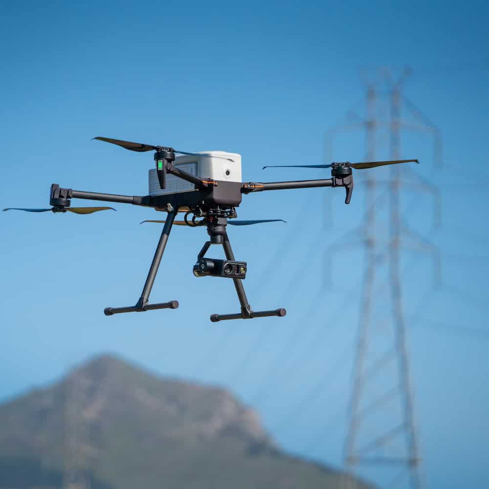
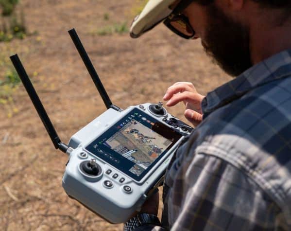
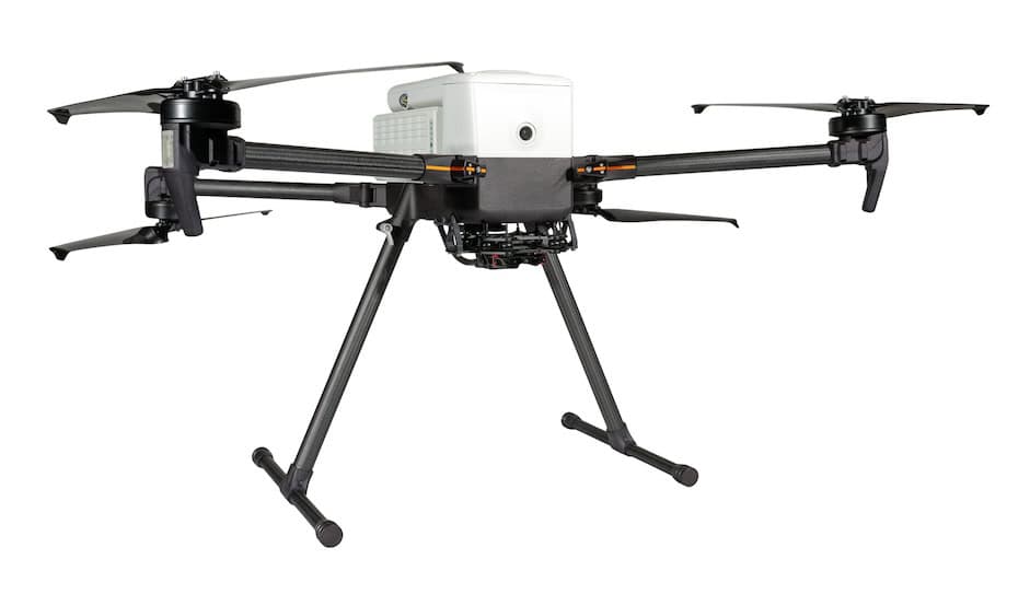
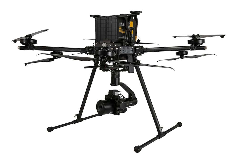
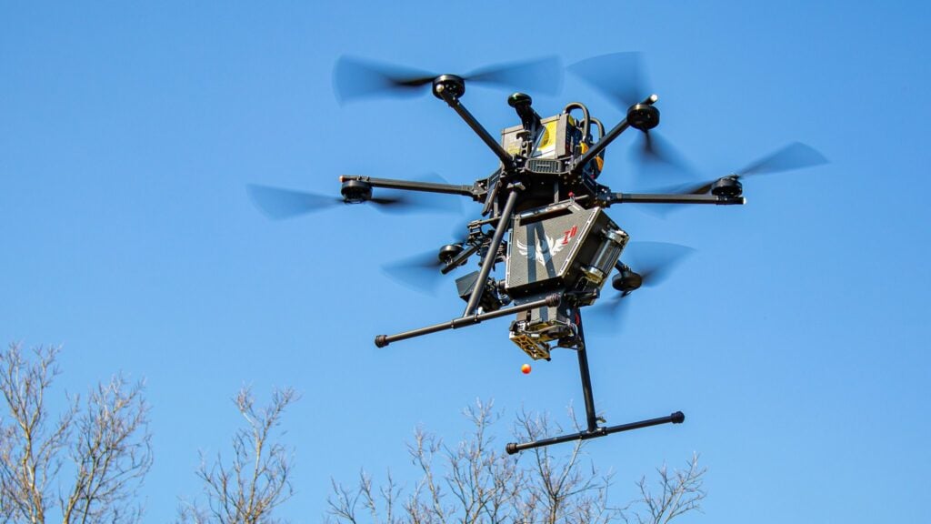
For the latest trial mission, SCE deployed the Inspired Flight IF1200 heavy-lift drone equipped with a Teledyne CLS-A LiDAR sensor weighing 9.7 pounds. Operating along pre-planned KML flight paths, the aircraft conducted three terrain-following flights at an altitude of 300 feet and an airspeed of approximately 8 meters per second. Each sortie lasted around 25 minutes, collectively mapping 59.7 acres of fissured terrain.
The collected data enhances existing helicopter survey records, adding precision detail to long-term geospatial models. By pairing a heavy-lift UAV platform with a survey-grade LiDAR payload, the mission demonstrated how targeted aerial data acquisition can strengthen infrastructure resilience, informing utility pole placement, vehicle positioning, and crew safety planning near unstable ground.