The 2026 LiDAR Industry Applications Conference in Shenzhen recently served as the launchpad for ZIYAN and GreenValley to demonstrate how integrated UAV platforms are transforming global spatial data collection.
The collaboration focuses on addressing the most demanding requirements of industrial sectors by combining advanced unmanned aerial vehicle technology with precision sensors. This strategic partnership aims to provide comprehensive, one-stop surveying solutions that enhance the efficiency and accessibility of critical geographic information. By focusing on the integration of hardware and software, the companies are working to streamline the transition from raw data acquisition to actionable insights.
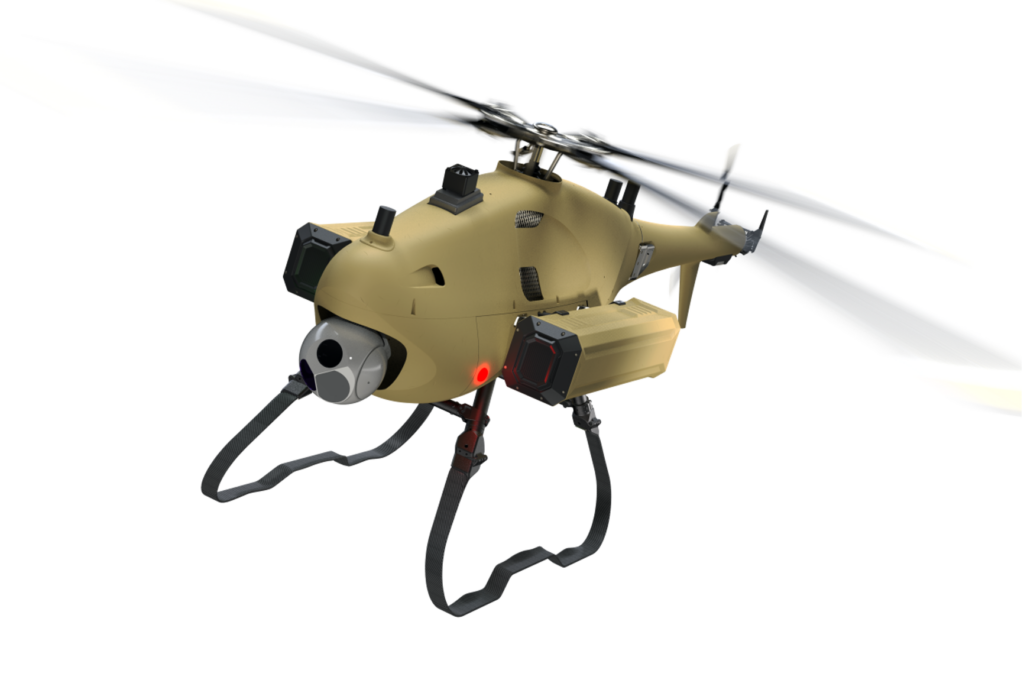
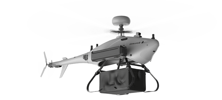
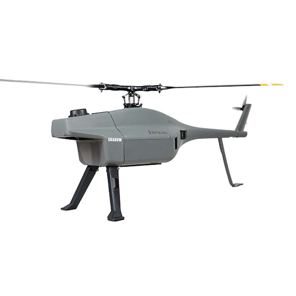
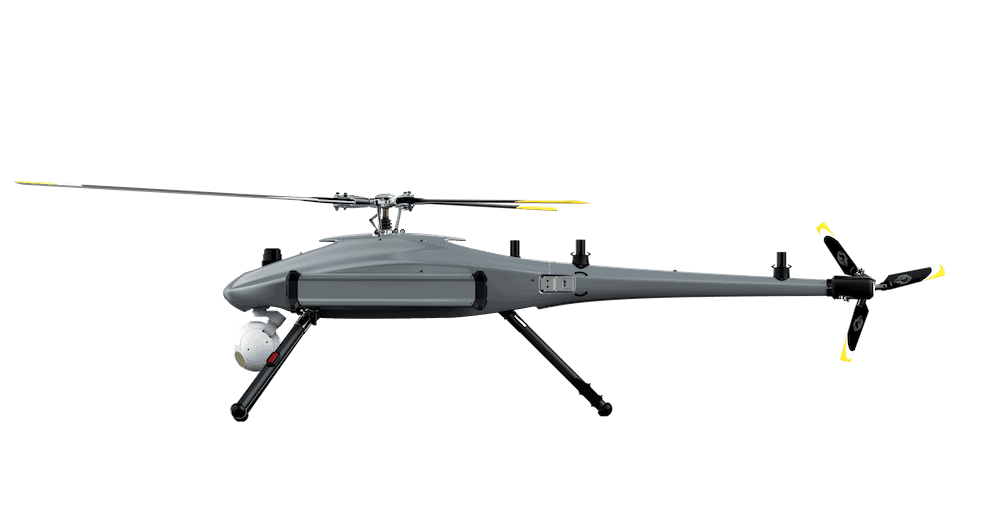
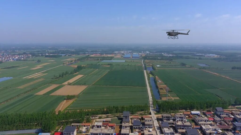
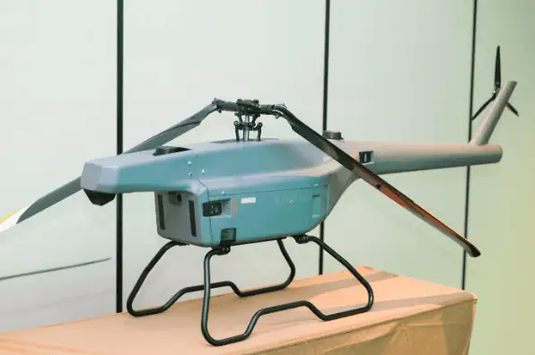
A primary highlight of the technical presentation was the F15 Unmanned Helicopter, an electric Vertical Take-Off and Landing (VTOL) platform specifically engineered for aerial surveying. The F15 is designed to carry a 5kg payload, allowing it to accommodate GreenValley’s precision LiDAR sensors and multi-sensor arrays. With an endurance of up to 100 minutes, the system enables large-scale missions that would otherwise require frequent battery swaps, while its resistance to Beaufort 8 winds ensures data integrity remains high even in challenging atmospheric conditions.
The engineering of the F15 platform emphasizes automated workflows to maximize operational efficiency. These technical specifications are tailored to support a wide range of professional applications, including topographic mapping, infrastructure inspection, environmental monitoring, and resource management. By utilizing an integrated approach, the system reduces the complexity typically associated with high-precision mapping tasks.

Beyond the hardware specifications, the engagement in Shenzhen focused on the strategic implementation of drone technology to generate measurable business value. The partnership is dedicated to providing solutions that achieve significant efficiency gains and deliver a clear return on investment for global clients. As industries continue to seek more reliable methods for data acquisition, the fusion of ZIYAN’s flight platforms with GreenValley’s sensing technology represents a significant shift in the capabilities of spatial intelligence tools.