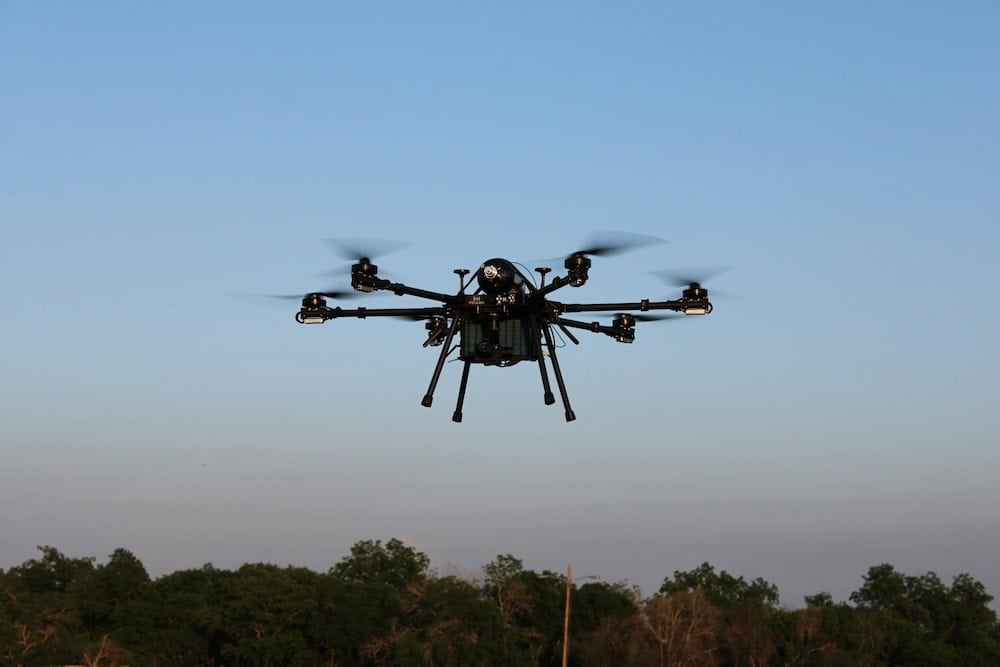
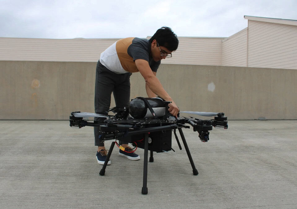
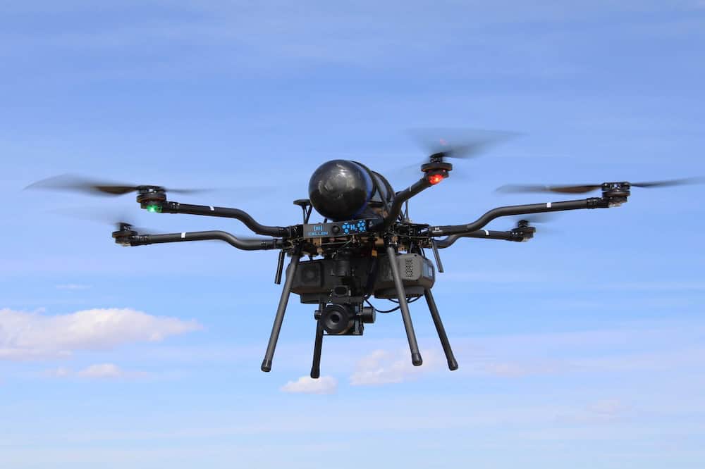
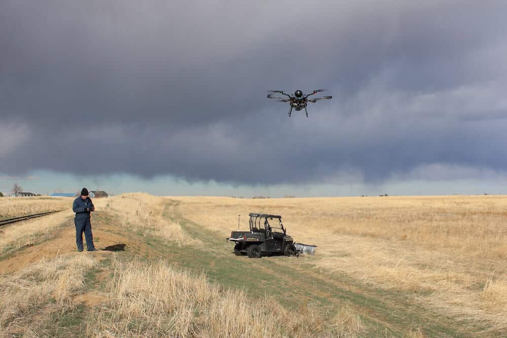
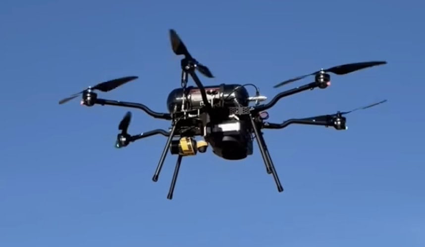
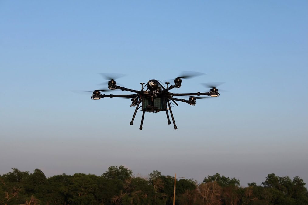
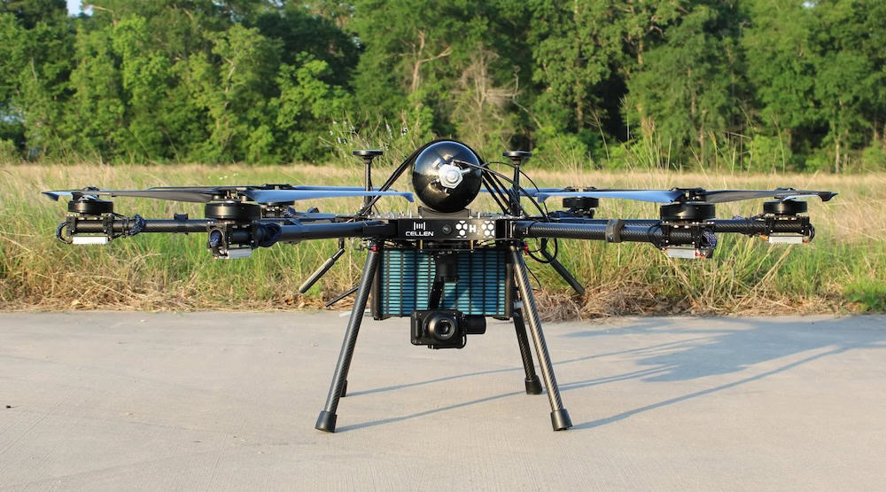
Cellen H2, Inc. and YellowScan have integrated a range of high-performance LiDAR payloads onto the H2-6 hydrogen-powered drone to extend the duration of geospatial data collection missions.
The collaboration brings the YellowScan Mapper+, Surveyor Ultra, and the flagship Voyager LiDAR systems to the Cellen H2-6 platform. This integration provides a scalable portfolio for survey, inspection, and mapping professionals who require higher quality data over larger areas without the typical constraints of battery-powered flight. The H2-6 hydrogen-powered aircraft is specifically engineered for these long-endurance operations, focusing on consistency and operational efficiency to reduce the logistical complexity of frequent take-offs, landings, and battery swaps.
Roberto Yelin, CEO of Cellen, said, “Our mission is to remove endurance as a constraint for aerial data capture. By pairing our hydrogen-powered H2-6 UAS with YellowScan’s Mapper+, Surveyor Ultra and Voyager payloads, we’re giving customers more time on station, more coverage per flight, and the flexibility to choose the LiDAR solution that best fits their project and budget.”
The partnership allows operators to match specific payload capabilities to project requirements using a single airframe. The Voyager system is utilized for high-precision, survey-grade data acquisition, while the Surveyor Ultra is designed for vertical and complex terrain mapping in sectors such as forestry and infrastructure. The Mapper+ provides a cost-effective solution for mapping where portability and efficiency are the primary drivers.
Nathan Stephenson, Business Development Manager, YellowScan, added, “YellowScan is committed to making high-performance LiDAR accessible and practical in the field. The integration of our payload range with the Cellen H2-6 hydrogen platform means our customers can fly longer, cover more ground, and deliver outstanding datasets while reducing the number of take-offs, landings and battery swaps.”
The two companies intend to work closely with customers on mission planning and optimal configurations for applications spanning utilities, mining, and infrastructure inspection. To demonstrate the capabilities of the combined technologies, Cellen and YellowScan are planning live demonstrations of the H2-6 in flight along with the release of example LiDAR datasets captured during recent testing phases.