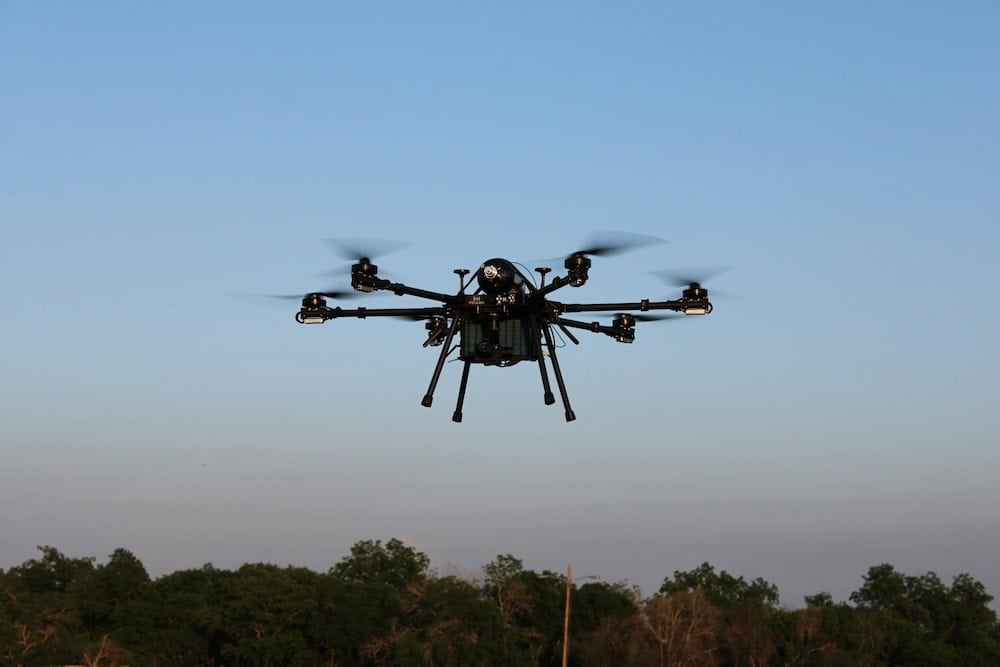
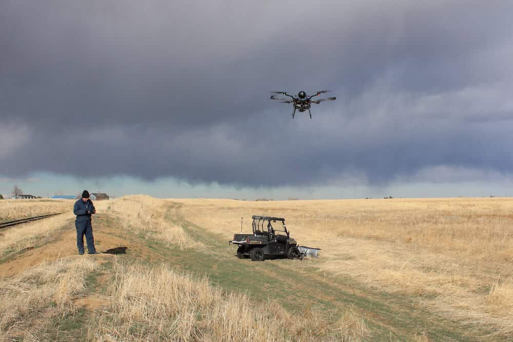
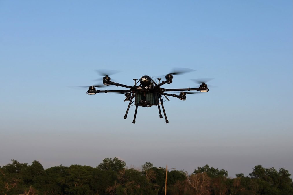
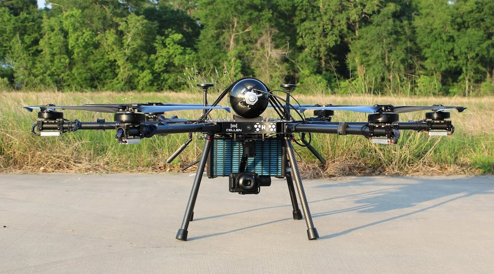
Cellen, a manufacturer of hydrogen-powered drone solutions, has completed the integration of the YellowScan Surveyor Ultra and YellowScan Mapper+ LiDAR payloads with its H2-6 multirotor Unmanned Aircraft System (UAS).

The long-endurance hydrogen-powered H2-6 features versatile payload capabilities and now supports the YellowScan Surveyor Ultra, a 360° field-of-view UAV LiDAR solution delivering 3 cm precision and 2.5 cm accuracy.
The combined system is well suited to vertical mapping, vegetation penetration, and infrastructure applications, enabling operators to collect more high-quality data per day. Cellen states the H2-6 can achieve approximately 130 minutes of endurance when operating with this payload.

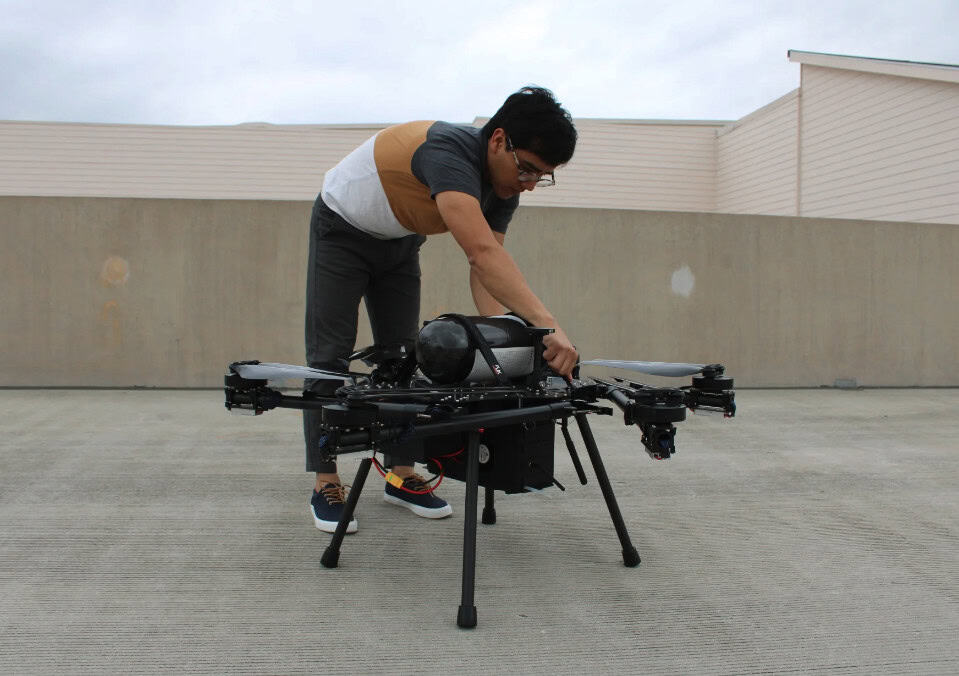
Surveyor Ultra is a high-point density, long-range LiDAR mapping solution incorporating a Hesai XT32M2X LiDAR sensor and an Applanix APX-15 UAV GNSS-Inertial system, providing highly accurate position and orientation in a compact, lightweight package.
Cellen has also completed integration of the YellowScan Mapper+ LiDAR payload. Mapper+ combines a Livox AVIA laser scanner with a high-performance GNSS-aided Inertial Navigation System (INS) in a compact, standalone solution.
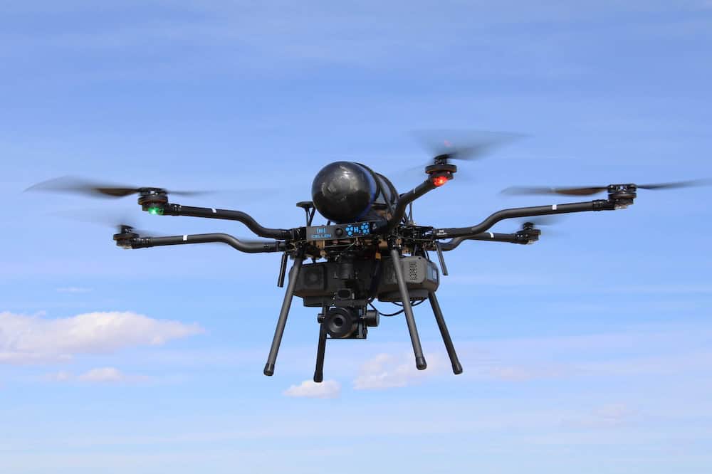
The system supports multiple power options, can accommodate an optional RGB camera for dual-sensor operation, and features simple single-button operation with data storage to a USB stick.