Inspired Flight Technologies discusses how its IF1200 drone supported a major 3-D mapping project conducted at Alcatraz Island.
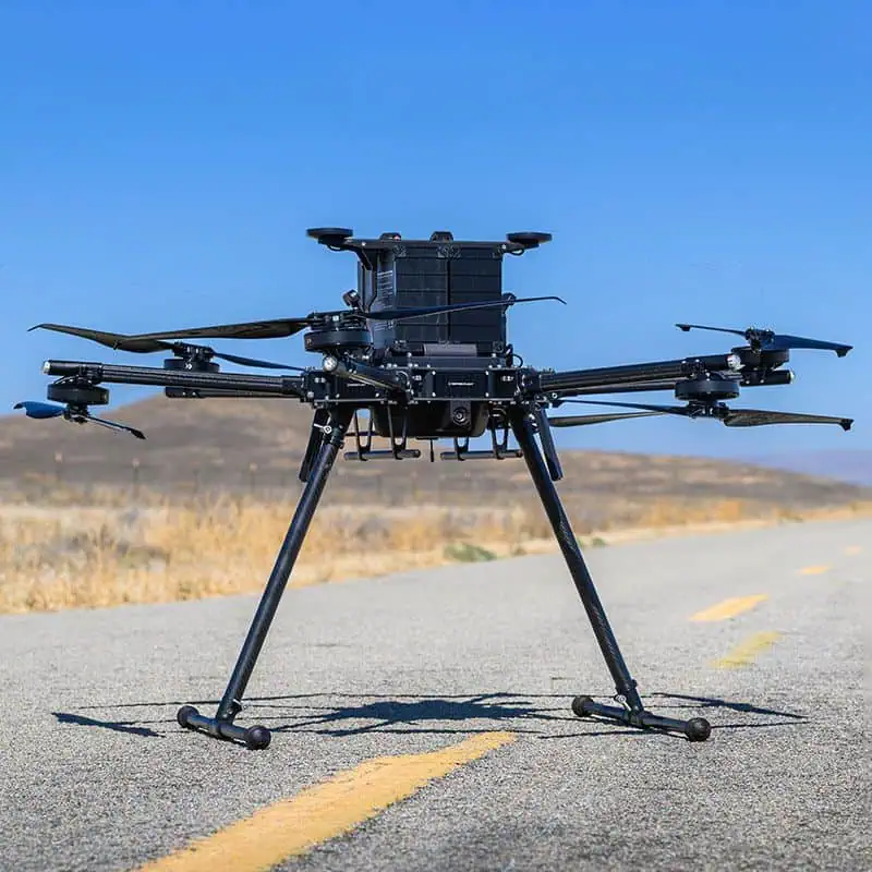
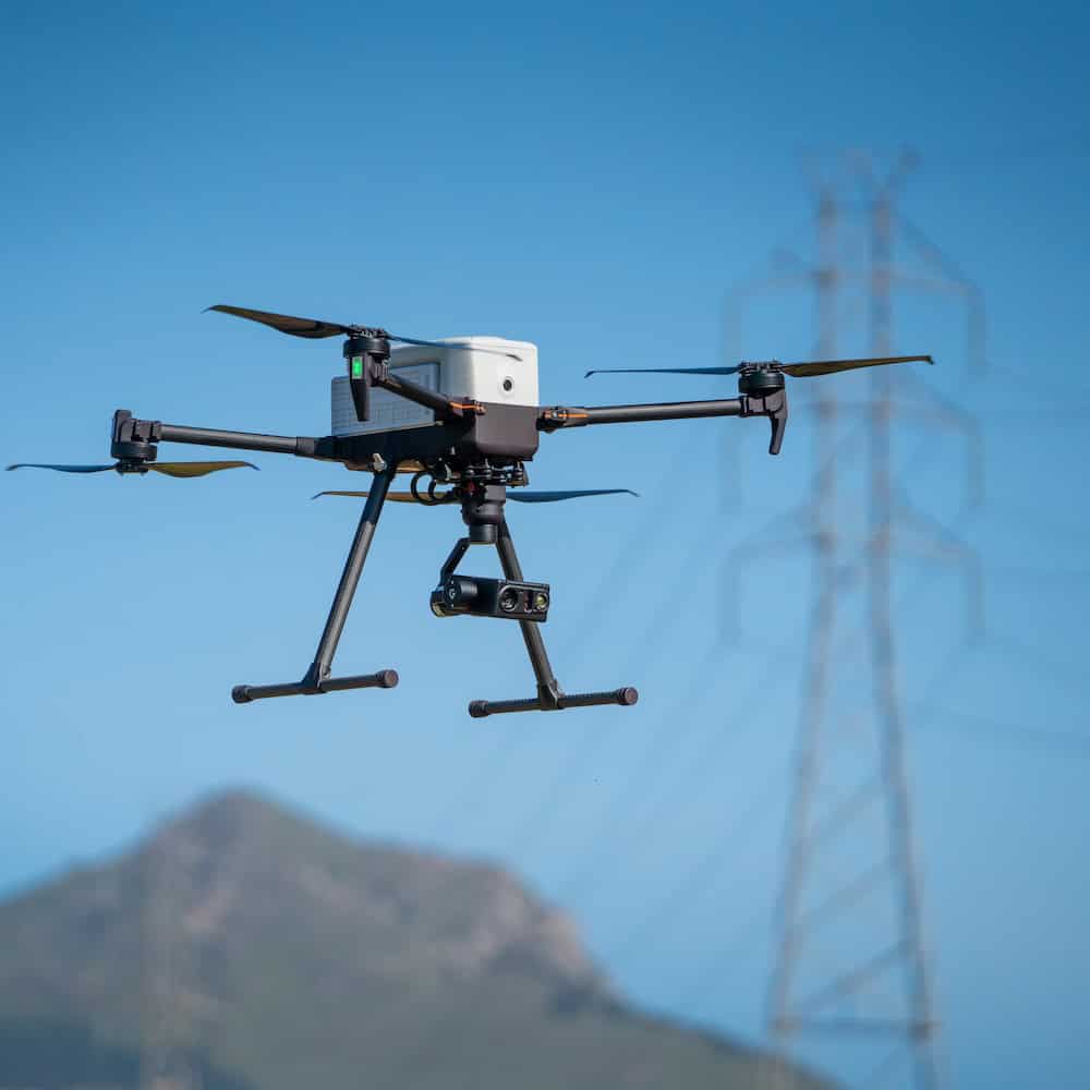
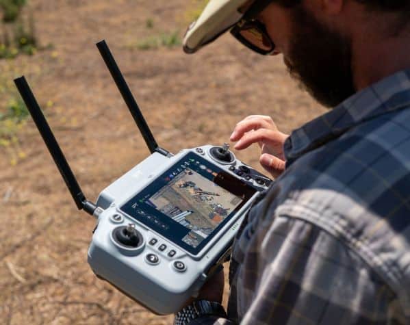
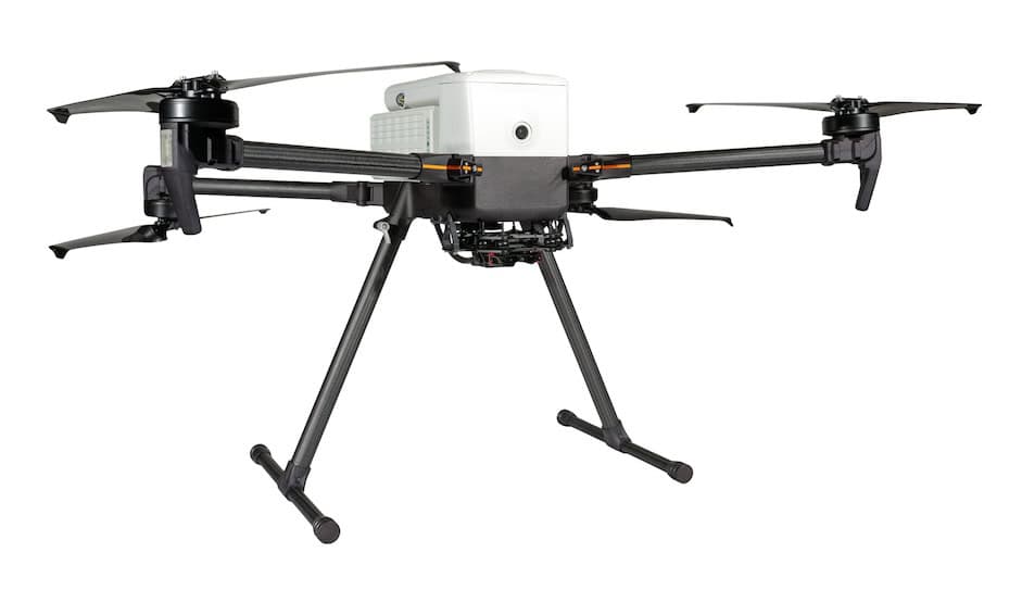
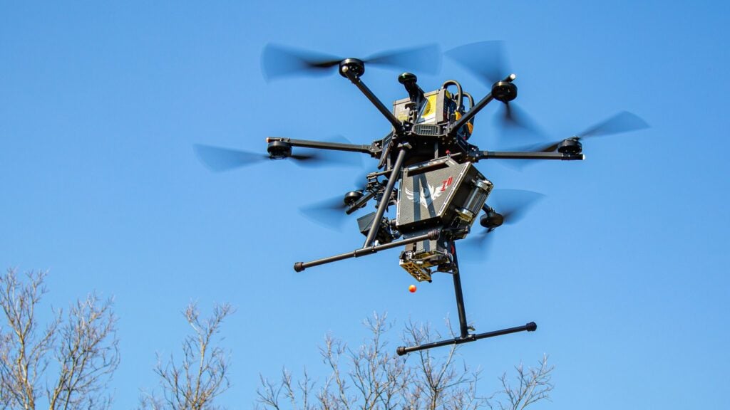
During the project, the team deployed the Inspired Flight IF1200 drone equipped with the Herelink controller and Phoenix LiDAR system to capture high-resolution aerial data. The platform was used to safely collect information across complex, confined, and hard-to-reach areas throughout the island.
The mapping campaign took place over three weeks, during which approximately four trillion bytes of data were collected. The dataset was created to digitally preserve the historic site and establish a detailed baseline for monitoring climate change impacts, shoreline erosion, and long-term structural deterioration.
Inspired Flight Technologies notes that the IF1200’s reliability and open architecture supported efficient data collection in challenging coastal conditions during the mission. The system enabled the team to gather detailed aerial information as part of one of the most comprehensive digital preservation efforts conducted at a U.S. national park site.
Pete Kelsey, VCTO Labs, commented, “The Inspired Flight 1200 was the perfect choice for the Alcatraz project. It was able to get a sizeable LiDAR sensor in the air. It is NDAA certified, so cleared to use for the Department of the Interior/National Park Service. It flew flawlessly and safely without issue… and the resulting point cloud is of the best I have seen in my career.”
To find out more, visit Inspired Flight Technologies’ website.