








WOLF Advanced Technology
HP | MJF for Unmanned Systems
Leading Suppliers in Australia

Mission Sensors & Payloads Suppliers in Australia

Imaging & Vision, Laser, EW & Intelligence payloads, Marine

Discover Australia-based suppliers of Mission Sensors & Payloads

Drone Payload Manufacturers & Suppliers

8 Leading Suppliers
Grid List
Filtered by:
Advanced Navigation
Advanced Navigation
Australia (3 locations)

High-Accuracy Navigation & Positioning Solutions for Unmanned & Autonomous Vehicles

Austars Model
Austars Model
Australia

Advanced VTOL & Fixed-Wing UAVs | State-Of-The-Art Technologies for Unmanned & Autonomous Aircraft

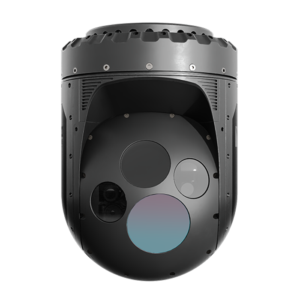
CACI International
CACI International
Australia (3 locations)

Software-Enabled Gyro-Stabilized Gimbal Systems for UAVs, Unmanned Systems, & Counter-Drone Applications

Trakka Systems
Trakka Systems
Australia (3 locations)

Multi-Sensor Imaging Gimbals, Searchlights and VMS Software for Air, Land & Maritime Platforms

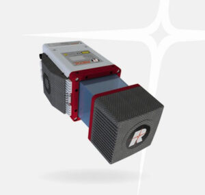
RIEGL
RIEGL
Australia (11 locations)

Drone LiDAR Sensors & Laser Scanners for Aerial Surveying, Mapping & Bathymetry

Sightline Intelligence
Australia (3 locations)

Field-Proven Vision Intelligence for Defense and Unmanned Systems

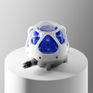
Forcys
Forcys
Australia (3 locations)

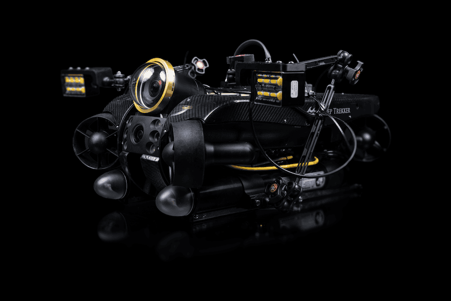
Integrated Systems & Payloads for Unmanned Surface & Underwater Platforms Operating in Complex Maritime Environments

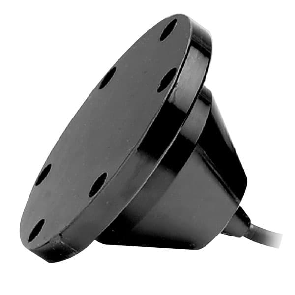
Airmar Technology Corporation
Australia (4 locations)

Weather Monitoring Stations, Marine Transducers, Side-Scan Sonar & Underwater Altimeters

Browse suppliers by country
Showcase your capabilities

If you design, build or supply Mission Sensors & Payloads, create a profile to showcase your capabilities and connect with visitors who have an active requirement for your solutions.

Create Supplier Profile

Products: Drone Payloads

14 Cutting-edge Solutions
Add your solutions
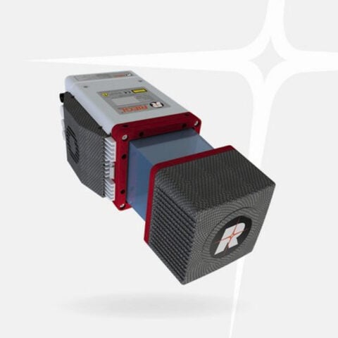
RIEGL miniVUX-4UAV
RIEGL miniVUX-4UAV

Lightweight airborne LiDAR for UAV mapping

Lightweight airborne LiDAR for UAV mapping
The RIEGL miniVUX-4UAV is an extremely lightweight airborne laser scanner designed for integration w...
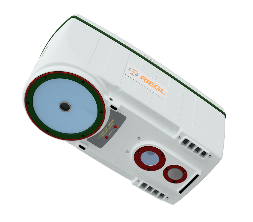
<i>RIEGL</i> VUX-820-G
RIEGL VUX-820-G

Topo-bathymetric airborne LiDAR system for coastal & river mapping

Topo-bathymetric airborne LiDAR system for coastal & river mapping
The RIEGL VUX-820-G airborne LiDAR System is a compact 5.7 kg unit designed for UAV-based topo-bathy...
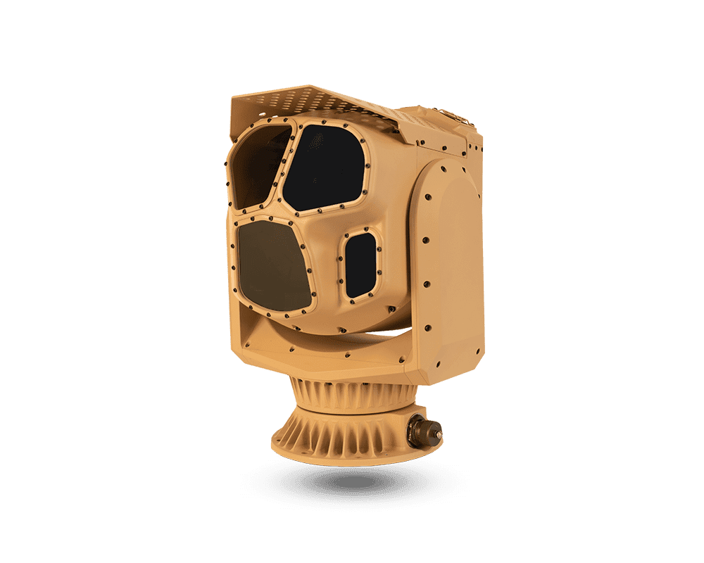
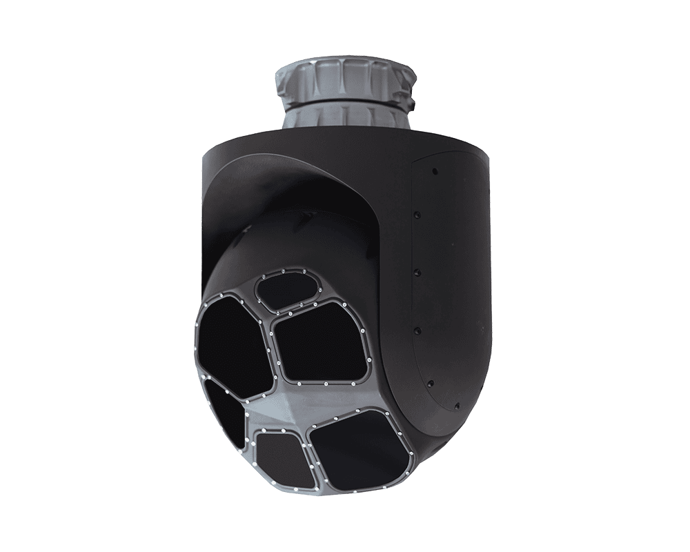
CM262
CM262

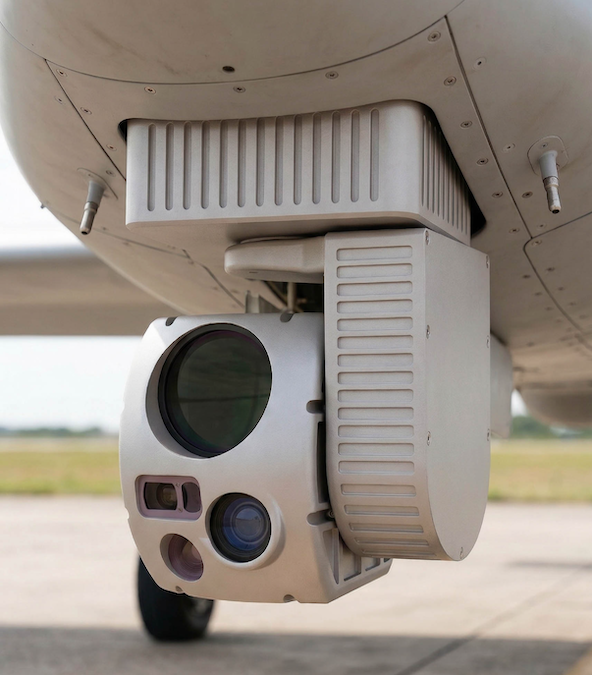
Multi-mission imaging system for UGVs & counter-UAS platforms

Multi-mission imaging system for UGVs & counter-UAS platforms
CACI International's CM262 is an advanced gyro-stabilized four-sensor imaging system for ground-base...
CM102 MR
CM102 MR

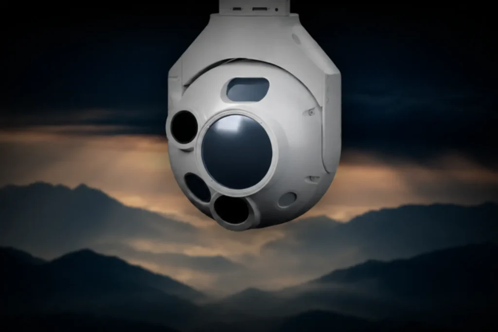
Long-range EO & LWIR gimbal payload for USVs & UGVs

Long-range EO & LWIR gimbal payload for USVs & UGVs
CACI International's CM102-MR gimbal has been specially designed to suit the requirements of marine ...
CM41
CM41

Lightweight & cost-effective EO imaging payload for sUAS

Lightweight & cost-effective EO imaging payload for sUAS
...aissance), the payload utilizes the latest H.264 and H.265 video encoding capabilities, and includes...
CM102
CM102

Rugged EO & LWIR imaging system for UAV ISR

Rugged EO & LWIR imaging system for UAV ISR
...on, the rugged payload is engineered to withstand the harshest of operating conditions....
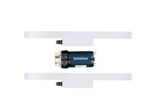
Solstice MAS
Solstice MAS

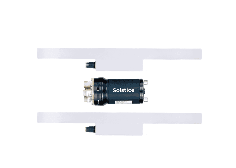
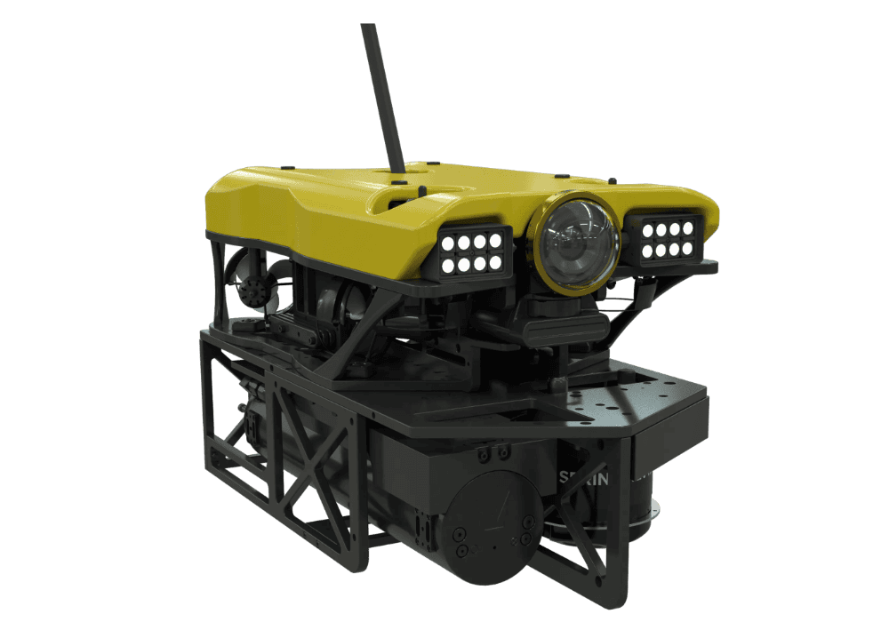
Ultra-high resolution multi-aperture side-scan sonar system for AUVs, ROVs & towfish platforms

Ultra-high resolution multi-aperture side-scan sonar system for AUVs, ROVs & towfish platforms
Solstice is an ultra-high resolution multi-aperture side-scan sonar system for AUVs, ROVs and towfis...
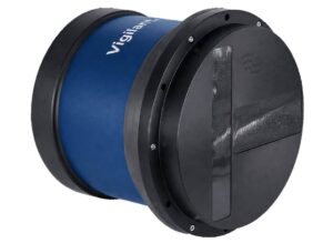
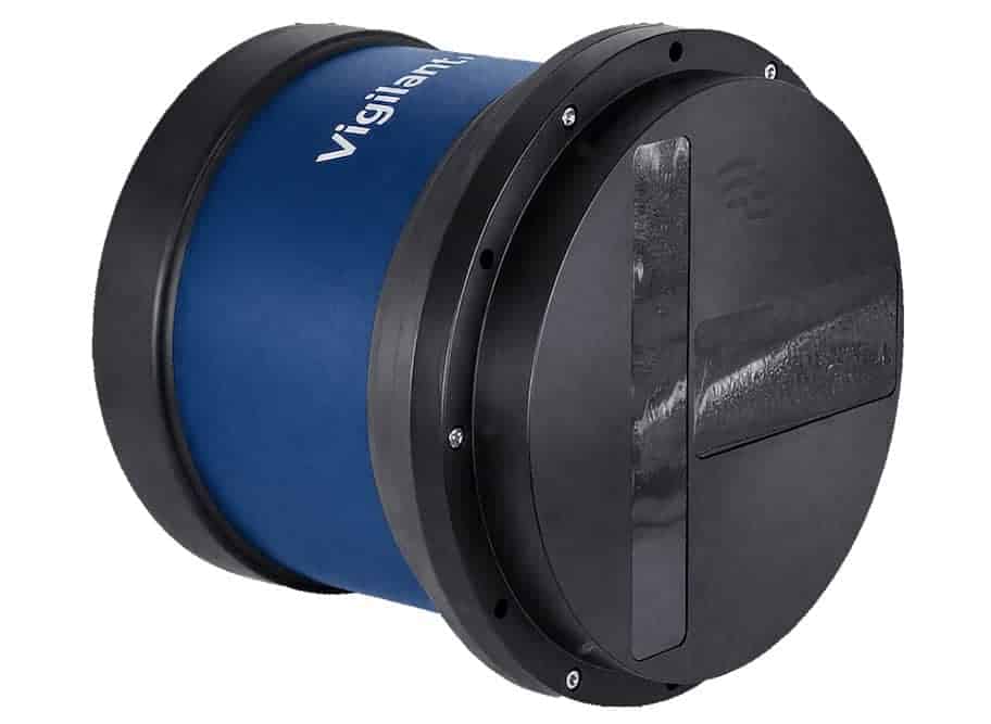
Vigilant FLS
Vigilant FLS

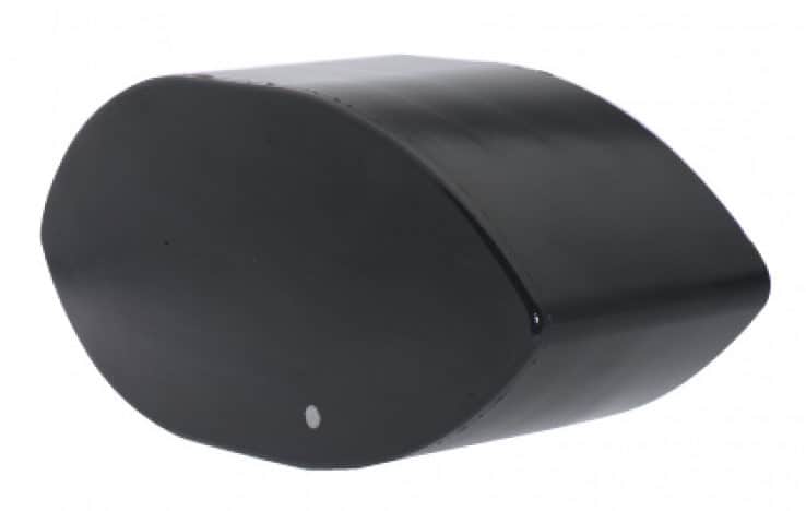
Forward Looking Sonar for USV/UUV navigation & collision avoidance

Forward Looking Sonar for USV/UUV navigation & collision avoidance
Vigilant FLS is a Forward Looking Sonar designed to enhance situational awareness and obstacle avoid...
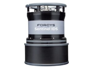
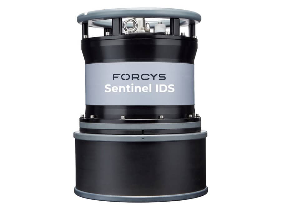
Sentinel IDS
Sentinel IDS

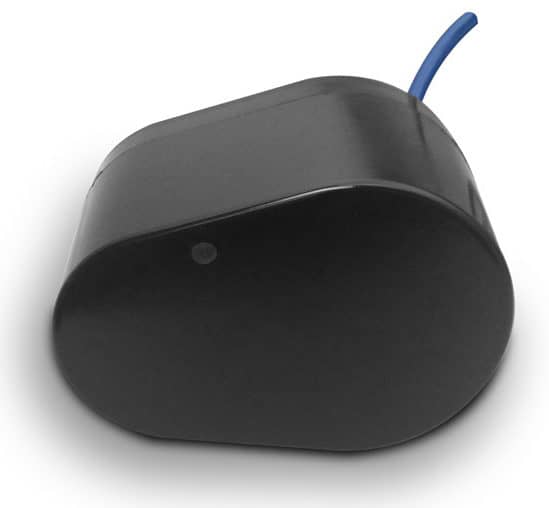
Intruder Detection Sonar for automatic detection, classification & tracking of subsea threats

Intruder Detection Sonar for automatic detection, classification & tracking of subsea threats
...le or unmanned drone. Sentinel is an intuitive system that will automatically inform the end user of...
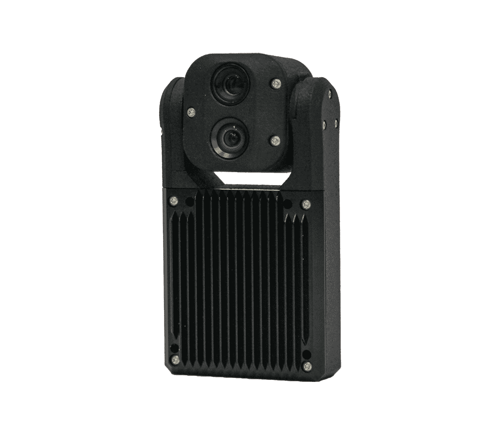
Stereo Imaging Systems

Subsea stereo imaging systems for real-time perception & 3D modelling

Subsea stereo imaging systems for real-time perception & 3D modelling
Forcys offers advanced optical imaging systems designed to provide real-time perception and accurate...
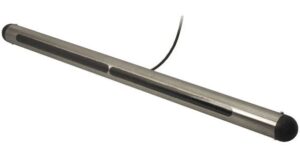
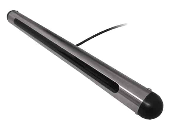
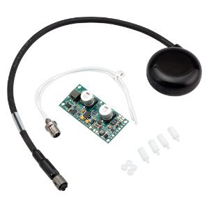
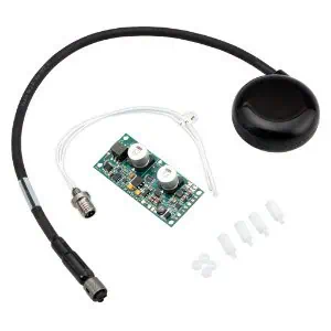
200m Mini Altimeter Kit Smart™ Sensor

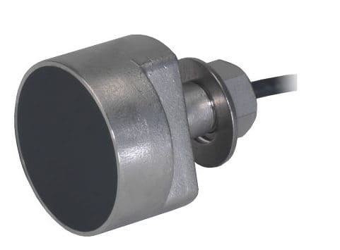
Underwater/Subsea altimeter kit for AUVs, ROVs

Underwater/Subsea altimeter kit for AUVs, ROVs
The 200m Mini Altimeter Kit Smart™ Sensor is specially designed for AUVs, ROVs and marine robotics...
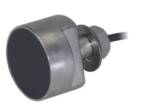
EchoRange+™ 30/200 kHz Smart™ Sensor

Ultrasonic marine temperature and depth sensor

Ultrasonic marine temperature and depth sensor
The EchoRange+™ 30/200 kHz Smart™ Sensor is an ultrasonic underwater temperature and depth senso...
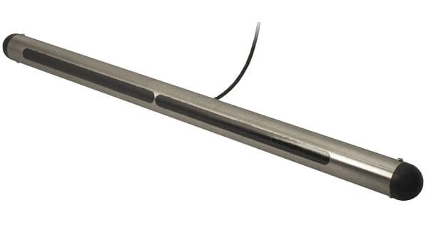
SS82 Side-Scan Transducer 200 kHz

Large side-scan sonar for surveys & bottom mapping

Large side-scan sonar for surveys & bottom mapping
The SS82 is a large 200 kHz side-scan transducer with 0.5°x48° beamwidth for demanding oceanograph...
EchoRange™ 200 kHz Smart™ Sensor Products

Ultrasonic marine temperature and depth sensor

Ultrasonic marine temperature and depth sensor
The 200 kHz EchoRange Smart Sensor is an ultrasonic underwater temperature and depth sensor that tra...

Related Articles

Selecting Infrared Window Materials for SWIR, MWIR and LWIR Applications

Evaluating the spectral transmission and refractive index of optical substrates across wavebands proves vital for Knight Optical engineers designing advanced thermal imaging, surveillance, and precision sensor systems for unmanned and autonomous systems

Nov 13, 2026
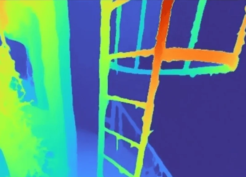
How Depth Maps and Enhanced Video Improve ROV Piloting

Voyis' Discovery Stereo Perception Series combines synchronized depth maps and enhanced video to provide ROV pilots with crucial spatial data, reducing cognitive load and improving underwater navigation and inspection accuracy

Nov 12, 2026
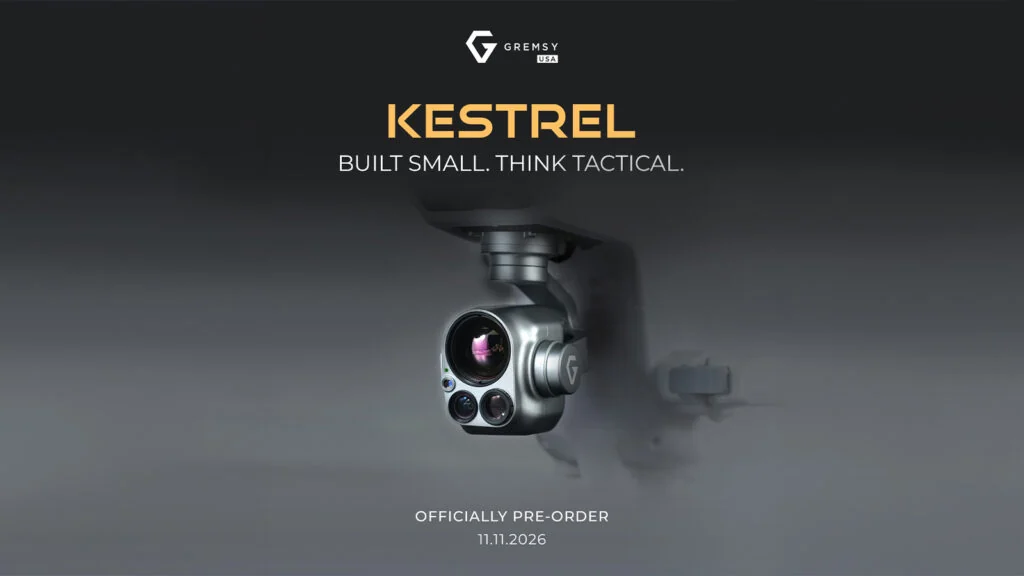
Gremsy USA Opens Pre-Orders for Sub-300g Dual EO/IR Payload Designed for Small UAVs

Gremsy USA introduces KESTREL, an ultra-compact and NDAA-compliant dual-sensor imaging system built to bring 40x hybrid zoom and thermal tracking to lightweight drone platforms

Nov 11, 2026
Blitz Technology & ALUX Form South Korean Joint Venture for Advanced Thermal Imaging

Turkish defense firm Blitz Technology expands into Asia through an Incheon production facility to build military-grade electro-optical systems featuring the first non-Chinese HD 8 µm thermal camera

Nov 10, 2026
Partnership Expands Access to Compliant UAS Imaging Payloads

European unmanned system integrators can now access Gremsy's compliant imaging payloads and localized technical support through an expanded regional distribution partnership with Dronivo focused on critical infrastructure, public safety, and industrial monitoring operations

Nov 09, 2026
Trillium Expands Tactical UAS Gimbal Lineup With Cost-Efficient Optical & Infrared Payloads

Trillium Engineering has introduced two cost-efficient HD59 gimbal configurations for tactical UAS, combining electro-optical and MWIR imaging, integrated lasers, and target tracking and geolocation capabilities

Nov 06, 2026
Topo-Bathymetric LiDAR Deployed to Advance Sea Farm & Algae Monitoring

A European research initiative is exploring YellowScan's topo-bathymetric LiDAR to monitor sea farms and algae sites, creating comprehensive digital twins above and below the water surface to support sustainable aquaculture operations

Nov 06, 2026
Collaboration Advances EO/IR Gimbal Camera Integration for Public Safety

Gremsy and NINANO have signed an agreement to integrate advanced EO/IR camera payloads onto unmanned platforms, enhancing critical situational awareness and imaging reliability for public safety and industrial inspection missions

Nov 06, 2026
Situational Awareness for Autonomous Naval Operations

Chess Dynamics examines how electro-optical sensing, AI-enabled tracking, classification and edge processing can support situational awareness, navigation and survivability for uncrewed surface vessels at sea

Nov 04, 2026

THE WEEKLY eBRIEF

The latest unmanned systems news, straight to your inbox.

Get our weekly roundup of technology developments, new products and industry news.

By subscribing, you agree to receive the weekly UST eBrief newsletter from EchoBlue Ltd. Unsubscribe at any time using the link in every email. See our Privacy Notice.

Advancing Unmanned Systems Through Strategic Collaboration UST works with major OEMs to foster collaboration and increase engagement with SMEs, to accelerate innovation and drive unmanned systems capabilities forward.