












WOLF Advanced Technology
HP | MJF for Unmanned Systems
Leading Suppliers in United States of America

GPS/GNSS-Denied Navigation & Positioning Suppliers in United States of America

Discover United States of America-based suppliers of GPS/GNSS-Denied Navigation & Positioning

Suppliers of GPS-Denied Navigation Technology

8 Leading Suppliers
Grid List
Filtered by:
Exail
Exail
USA (11 locations)

Cutting-Edge Navigation & Positioning Solutions for Unmanned & Robotic Systems

Advanced Navigation
Advanced Navigation
USA (3 locations)

High-Accuracy Navigation & Positioning Solutions for Unmanned & Autonomous Vehicles

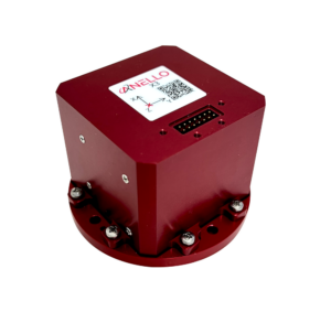
ANELLO Photonics
ANELLO Photonics
USA

High-Precision Inertial Navigation for GPS-Denied Environments

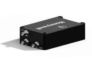
Honeywell Aerospace
Honeywell Aerospace
USA

BVLOS Solutions for UAS & UAM: Fuel Cells, Radar, Navigation Sensors, Flight Control & SATCOM

FIBERPRO
FIBERPRO
USA (3 locations)

Assured PNT Solutions for Unmanned Systems

Inertial Labs, a VIAVI Solutions Company
USA

Inertial Navigation Sensors: MEMS IMU, Accelerometers, Gyroscopes, AHRS, GPS-INS & Point Cloud Generation

Tycho.AI
Tycho.AI
USA

Cutting-Edge Autonomy Solutions for Tactical UAVs & Unmanned Systems

ARK Electronics
ARK Electronics
USA

Cutting-Edge Flight Controllers, Sensors, and Other Electronics Technologies for Drones & Robotics

Browse suppliers by country
Showcase your capabilities

If you design, build or supply GPS/GNSS-Denied Navigation & Positioning, create a profile to showcase your capabilities and connect with visitors who have an active requirement for your solutions.

Create Supplier Profile

GPS/GNSS-Denied Navigation Solutions

13 Cutting-edge Solutions
Add your solutions
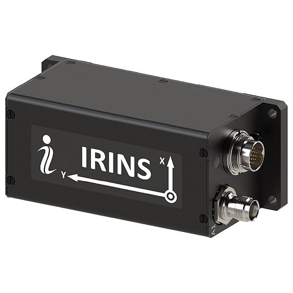
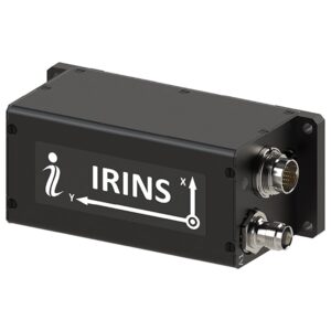
IRINS
IRINS

LEO-aided INS for assured PNT in contested domains

LEO-aided INS for assured PNT in contested domains
...O-based timing/navigation, and anti-jam GNSS (with CRPA port) delivers resilient performance across... ... achieves GNSS-denied performance of 80 m RMS position and 2 m/s velocity accuracy. Integrated...
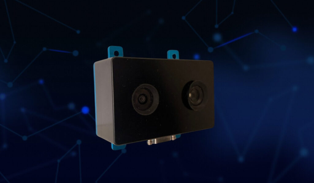
Vision-Aided Inertial Navigation System (VINS)

High-accuracy inertial navigation system engineered for GNSS-denied environments

High-accuracy inertial navigation system engineered for GNSS-denied environments
...high-precision navigation solution designed for unmanned vehicles and autonomous platforms operating... ... VINS Inertial Navigation System delivers precise positioning and orientation for unmanned platforms...
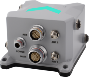
Boreas A50 & D50 FOG INS

Compact FOG-based AHRS & INS with north-seeking gyrocompass

Compact FOG-based AHRS & INS with north-seeking gyrocompass
...) and Inertial Navigation System (INS) designed for precision navigation in demanding unmanned and... ...nclude defense navigation, guidance, and control systems, as well as mining equipment alignment and...
Boreas D70 & D90 Digital FOG INS

High-precision FOG GNSS/INS for unmanned navigation & stabilization

High-precision FOG GNSS/INS for unmanned navigation & stabilization
.... This compact navigation solution employs an AI-enhanced fusion algorithm to deliver consistent,...
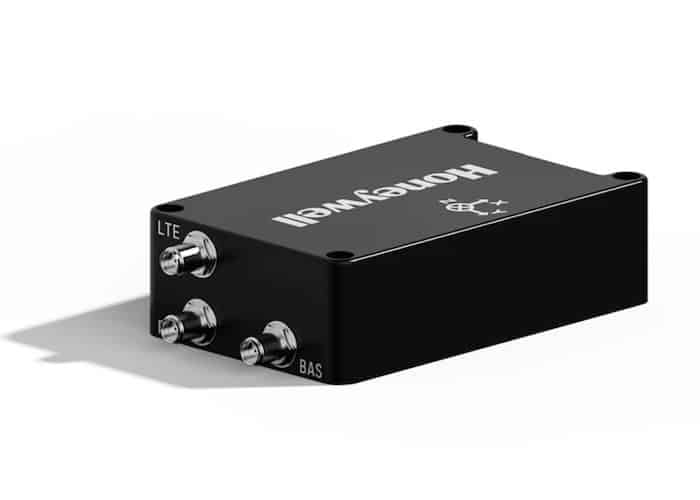
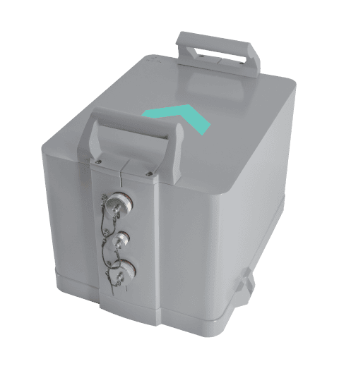
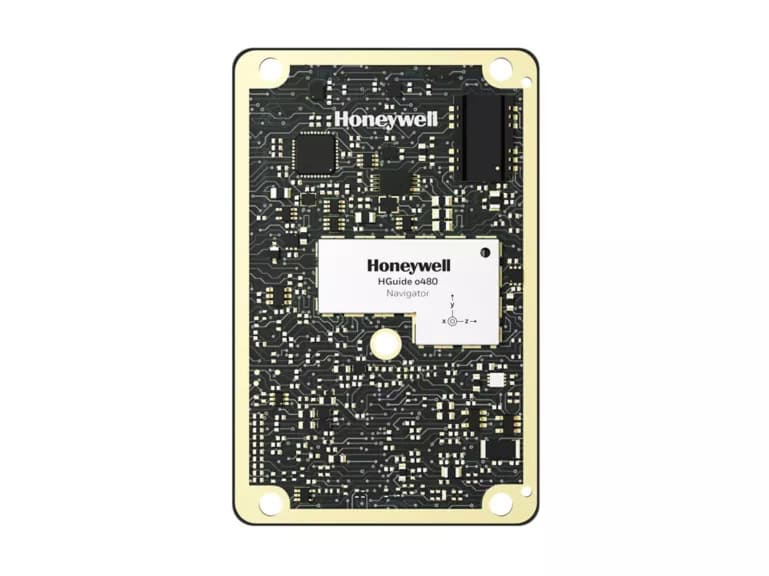
HGuide o480 Inertial/GNSS Navigator

Compact Inertial Navigation System for GNSS-Denied Environments

Compact Inertial Navigation System for GNSS-Denied Environments
...lient inertial navigation system engineered for use in lightweight autonomous platforms such as...
Resilient UAV Navigation Suite

Triple-layered GPS-denied navigation suite for UAVs

Triple-layered GPS-denied navigation suite for UAVs
...'s alternative navigation suite for UAVs combines the Compact Inertial Navigation System with the...
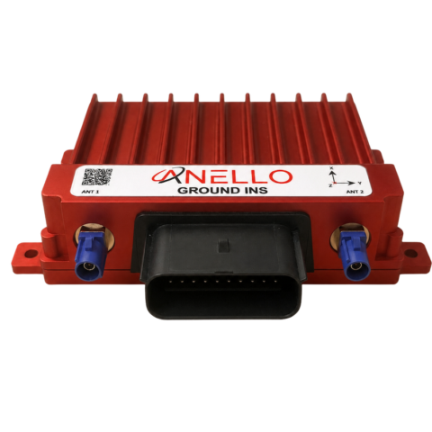
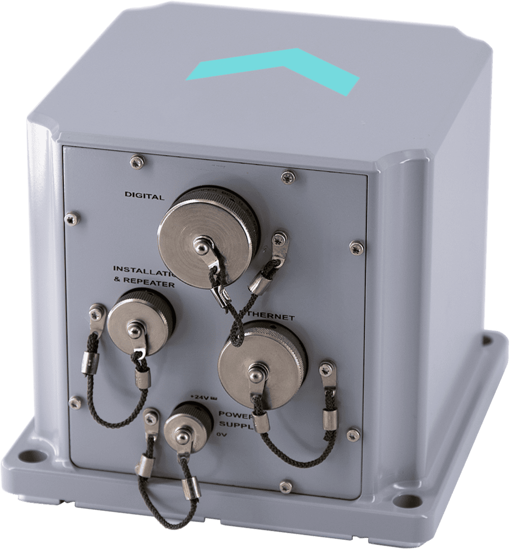
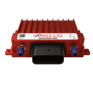
ANELLO Ground INS
ANELLO Ground INS

High-precision navigation for GPS-denied environments

High-precision navigation for GPS-denied environments
...vide long-term GPS-level accurate navigation for drones and robotics operating under GNSS-denied...
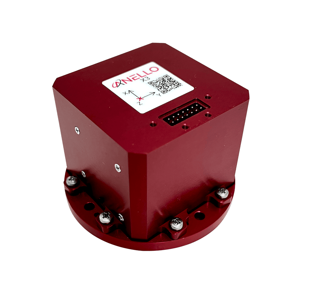
ANELLO X3 IMU
ANELLO X3 IMU

Smallest & lightest three-axis optical gyroscope IMU

Smallest & lightest three-axis optical gyroscope IMU
...;s advanced AI solution, the ANELLO X3 can be used to create a robust low-drift and low-noise... ...... PX4 and Ardupilot, enabling precise, low-drift inertial navigation for autonomous aerial...
Marins M5 INS
Marins M5 INS

Military-grade FOG inertial navigation system

Military-grade FOG inertial navigation system
...naval inertial navigation systems, designed to meet the demands of the navy for the highest...
Marins M3 INS
Marins M3 INS

Military strategic-grade FOG inertial navigation system

Military strategic-grade FOG inertial navigation system
...naval inertial navigation systems that enables stealth autonomous navigation for submarines and...
Phins INS
Phins INS

FOG based high-performance inertial navigation system

FOG based high-performance inertial navigation system
...is an Inertial Navigation System (INS) providing position, true heading, attitude, speed, depth and...
Atlans 3
Atlans 3

Compact, free-of-export and light-weight INS for georeferencing applications

Compact, free-of-export and light-weight INS for georeferencing applications
......rate, and real-time navigation data that can be improved with Delph INS post-processing software....
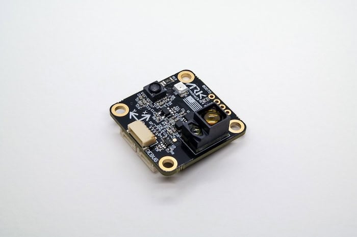
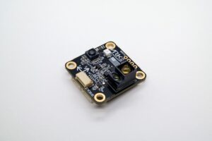
ARK Flow Sensor
ARK Flow Sensor

Optical flow & distance sensor module

Optical flow & distance sensor module
...lass precision navigation and positioning capabilities for unmanned aerial vehicles. Providing...

Related Articles

Celestial Navigation Technology for GNSS-Denied Environments

Stelion Systems' sensors provide an alternative or complementary source of positioning, heading and orientation information for resilient navigation systems

Oct 29, 2026
Photonic & MEMS Inertial Sensing Solutions for GNSS-Denied Navigation

OSCP's ITAR-free sensors provide mission-critical navigation capabilities even in the face of jamming and spoofing attacks and complete satellite signal loss

Oct 26, 2026
Assured PNT Validated During U.S. Army GNSS Jamming Trials

Advanced Navigation highlights its inertial-centric navigation architecture during U.S. Army APEX trials, recording 0.012% final dead-reckoning error over 65 km under GNSS jamming conditions

Oct 19, 2026
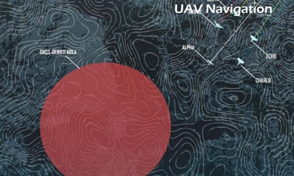
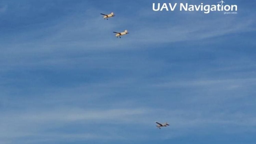
Navigation Architecture for UAS in GNSS-Denied Environments

UAV Navigation-Grupo Oesía highlight a GNSS-denied navigation architecture combining AD-AHRS, visual odometry, template matching, Terrain Reference Navigation and Map Matching, validated through datasets and flight testing

Oct 01, 2026
Compact Resilient Navigation System for Small Drones Demonstrated

A successful flight demonstration of Honeywell Aerospace's compact navigation system proves that small tactical drones can maintain precise timing and positioning data inside satellite denied or hostile contested military environments

Sep 24, 2026
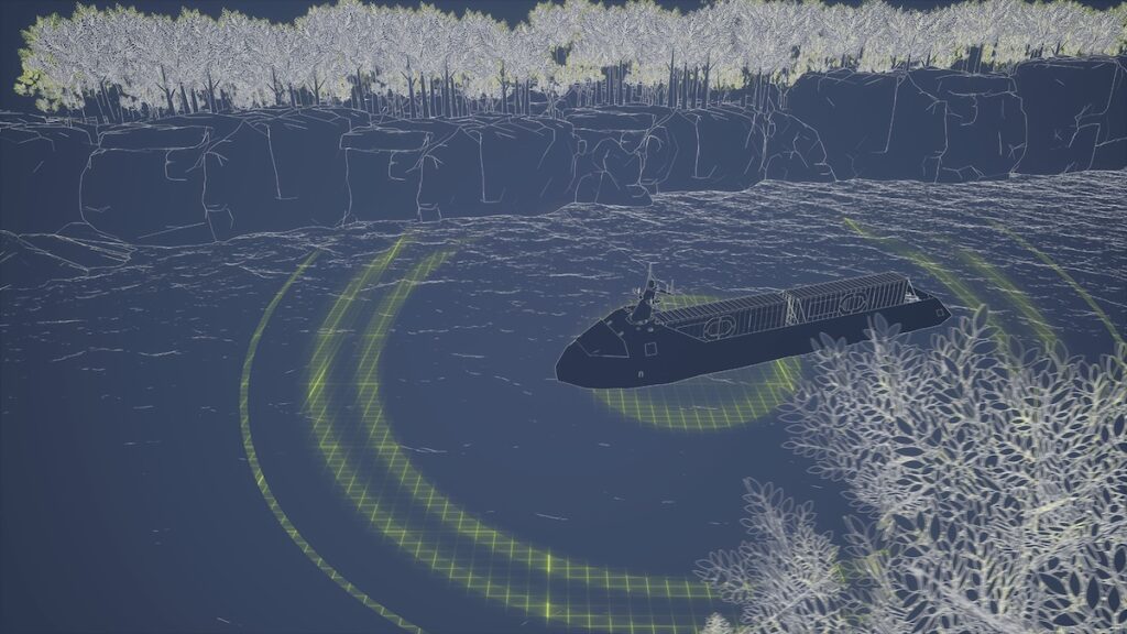
Maintaining USV Navigation Under GNSS Denial

Forcys details how Sonardyne’s SPRINT-Nav and Vigilant FLS support autonomous USVs with navigation accuracy and situational awareness when GNSS data is denied or deliberately spoofed

Aug 13, 2026
Advancing UAV Autonomy in GNSS-Denied Environments

UAV Navigation-Grupo Oesía Director and CTO Miguel Ángel de Frutos Carro discusses resilient navigation, communications and onboard autonomy for UAV operations in GNSS-denied environments

Jul 22, 2026
Vision-Based Navigation Module Targets GNSS-Degraded UAS Operations

UAVOS has tested NAVAI, a vision-based navigation module that uses neural networks, real-time camera imagery and pre-loaded terrain maps to provide an additional positioning input for UAS operating in GNSS-degraded environments

Jul 15, 2026
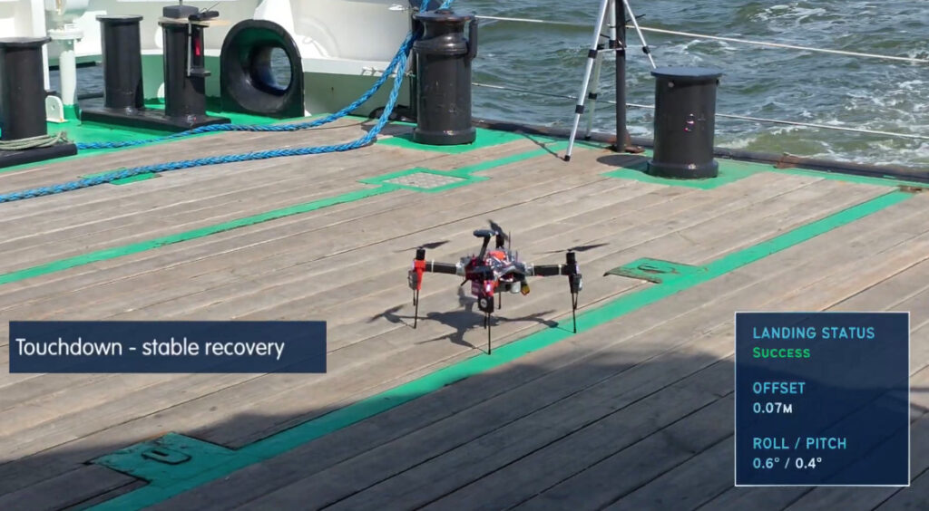
Agilica Delivers Precision Recovery for Maritime UAV Operations

Agilica’s beacon-based Ultra-Wideband positioning system has supported 30 successful maritime uncrewed aerial vehicle recoveries to a vessel travelling at approximately 10 knots, with no failed recoveries recorded during the trial sequence

Jul 07, 2026

THE WEEKLY eBRIEF

The latest unmanned systems news, straight to your inbox.

Get our weekly roundup of technology developments, new products and industry news.

By subscribing, you agree to receive the weekly UST eBrief newsletter from EchoBlue Ltd. Unsubscribe at any time using the link in every email. See our Privacy Notice.

Advancing Unmanned Systems Through Strategic Collaboration UST works with major OEMs to foster collaboration and increase engagement with SMEs, to accelerate innovation and drive unmanned systems capabilities forward.