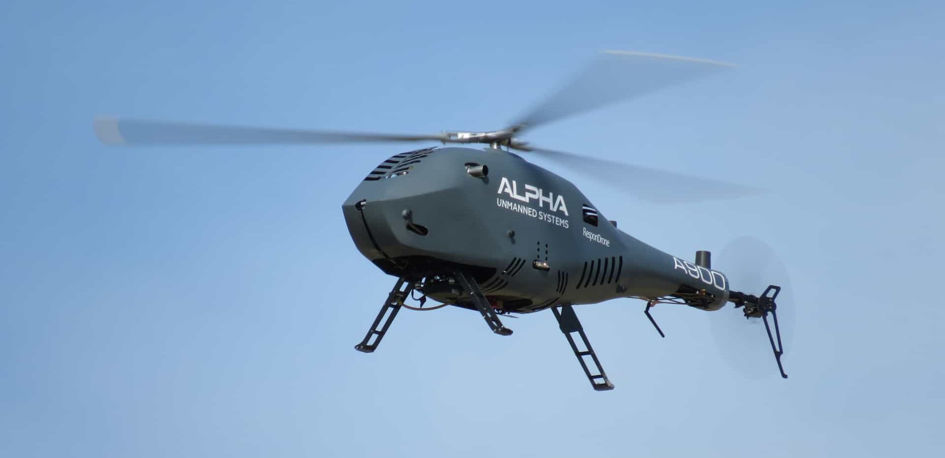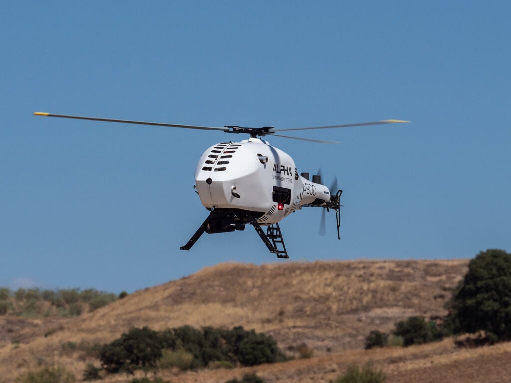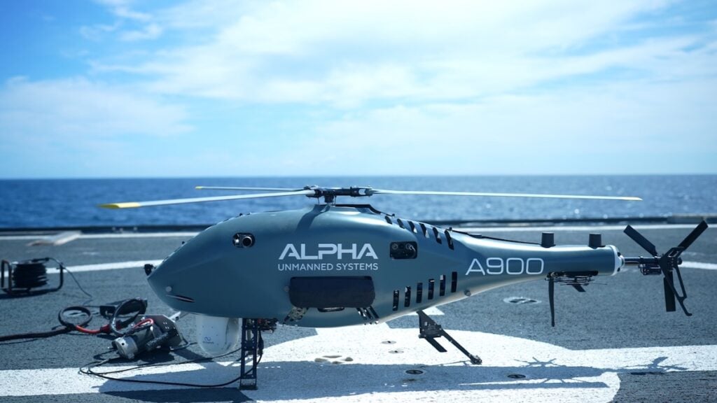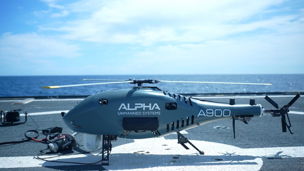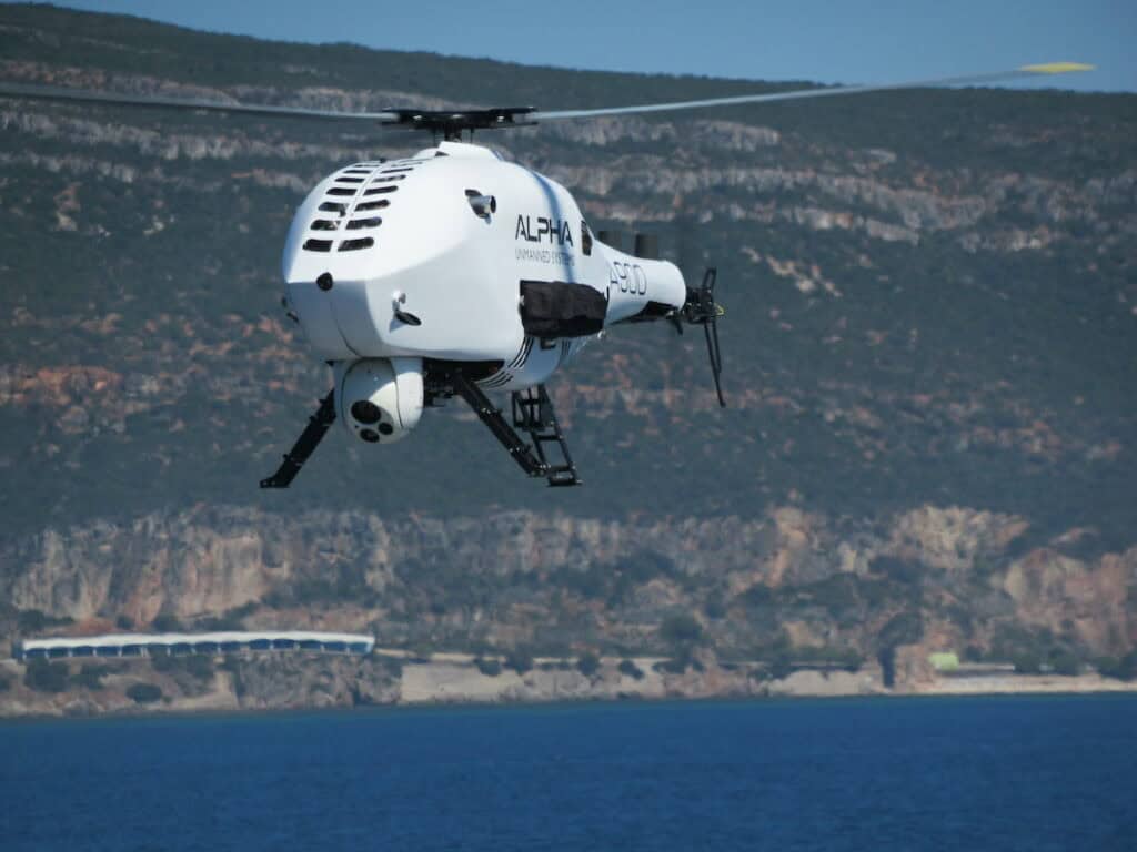




Electronic warfare in modern conflicts has severely degraded Global Navigation Satellite System (GNSS) reliability, forcing military unmanned aerial vehicles (UAVs) – like the Alpha A900 from Alpha Unmanned Systems – to navigate and execute surveillance missions without satellite positioning.
During the conflict in Ukraine, both Russian and Ukrainian forces have deployed electronic warfare systems that disrupt GNSS signals and leave positioning, navigation, and timing (PNT) unassured. Electronic jamming and spoofing are now standard counter-UAS (C-UAS) measures capable of saturating airspace with interference, degrading positional accuracy, or misleading drones onto false tracks. In some instances, radio-frequency disruption has even led operators to adopt fiber-optic connections to maintain secure, resilient links for command networks and UAV operations.
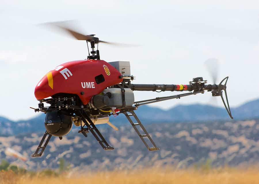
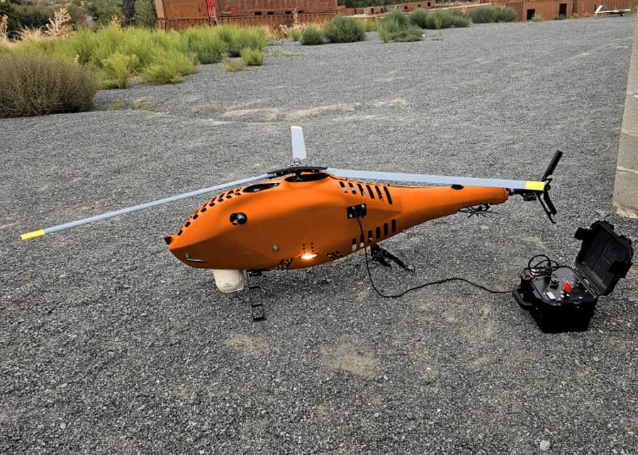
These conditions present a major operational challenge for intelligence, surveillance, and reconnaissance (ISR) platforms such as the Alpha A900 unmanned helicopter. Rotary-wing UAVs provide distinct tactical advantages over fixed-wing drones by hovering, flying at low altitudes, and launching from confined spaces like ship decks or forward operating bases. However, like other unmanned aircraft, helicopters remain vulnerable to satellite signal denial unless equipped with embedded non-GNSS navigation systems.
To address this vulnerability, Alpha equips its unmanned helicopters with the VECTOR-600 autopilot from UAV Navigation. Built for military operations, the autopilot features a fully redundant architecture with multiple layers of physical and logical safeguards so that flight control continues even if individual sensors fail. The system maintains attitude and positional control by fusing data from inertial, barometric, magnetic, and visual sensors.
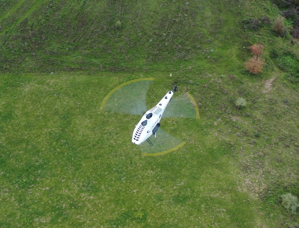
When satellite signals are completely unavailable, a dedicated Visual Navigation System takes over using Visual Odometry (VO) and Pattern Recognition (PR). An onboard camera continuously captures images of the terrain below, identifying and tracking natural or man-made landmarks. By comparing successive frames, the software calculates the aircraft’s motion and position relative to those ground reference points.
To prevent the positional drift typically associated with standalone inertial navigation, the system constructs a dynamic map during flight. Anchoring navigation to real-world visual references prevents positional errors from accumulating over time, maintaining accuracy across surveillance missions lasting up to four hours. Through sensor fusion, these visual measurements are fed continuously into the Flight Control Computer (FCC) so the helicopter can hold stable flight, follow planned waypoints, and complete reconnaissance tasks in heavily degraded or fully denied airspace.
Operating independently of GNSS provides three primary advantages during contested ISR missions. First, helicopters can maintain mission continuity by completing planned flight paths despite active jamming. Second, the ability to return autonomously after prolonged signal loss reduces the risk of mission failure or aircraft loss. Third, automated navigation lowers crew workload, allowing operators to concentrate on surveillance objectives rather than emergency flight interventions.
Looking ahead, increasingly advanced C-UAS capabilities are expected to accelerate demand for autonomous, satellite-independent surveillance drones. Future developments are projected to integrate deeper machine vision and artificial intelligence for both navigation and target recognition, expand multi-sensor redundancy across visual, inertial, radar, and magnetic inputs, and grant UAVs higher levels of autonomy to make limited tactical decisions when signals are cut.