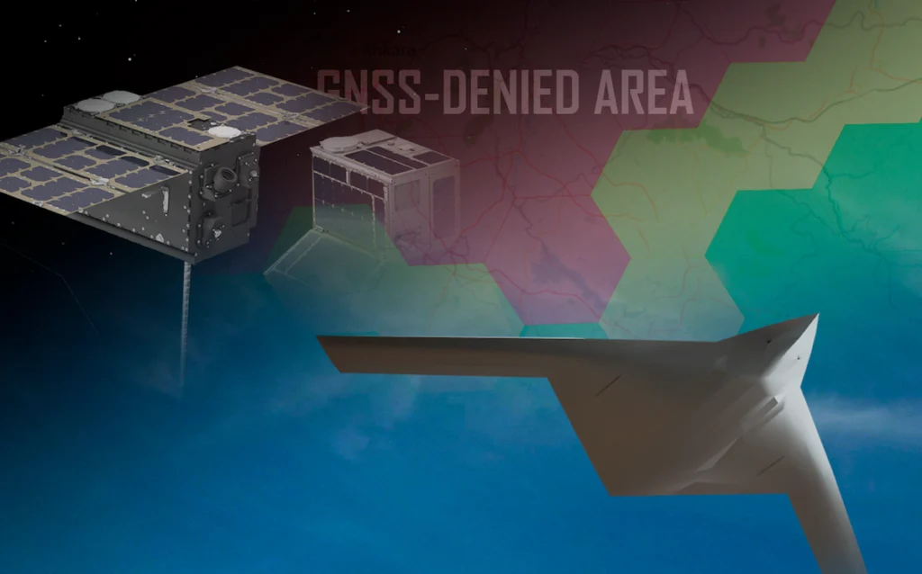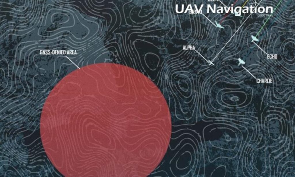
UAV Navigation-Grupo Oesía details a proposed navigation architecture for maintaining reliable unmanned aircraft navigation in GNSS-denied environments, where jamming and spoofing can disrupt conventional Position, Navigation, and Timing (PNT) information. Learn more >>
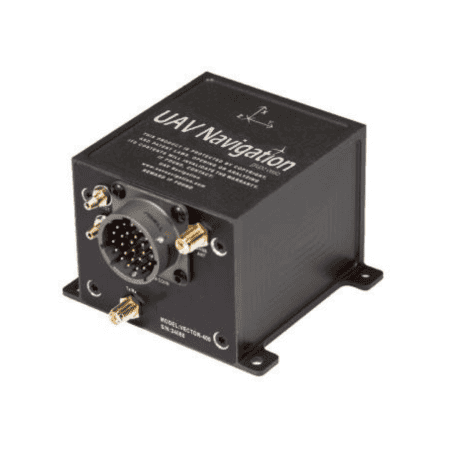
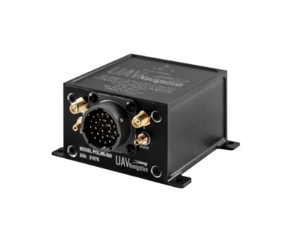
The proposed architecture combines an AD-AHRS with a Visual Navigation System (VNS), with the VNS providing position and velocity corrections to the AD-AHRS.
The VNS incorporates visual odometry, template matching, Terrain Reference Navigation (TRN), and Map Matching (MM), with the different techniques addressing specific flight conditions. Visual odometry calculates aircraft displacement by comparing features between consecutive camera frames, while template matching uses reference imagery associated with known coordinates. TRN correlates elevation profiles obtained from onboard altimeter measurements with digital elevation models and is suited to low-altitude missions, while MM compares onboard imagery with georeferenced satellite maps for higher-altitude operations.
UAV Navigation also highlights results obtained from post-processing flight datasets. Across a 187 km trajectory with TRN active, the system achieved an average absolute error of 239 ± 16 m, corresponding to 0.1% of the distance traveled. Using MM on a 36 km flight dataset, error was limited to 31 ± 9 m, representing 0.08% of the distance traveled.
The architecture incorporating the AD-AHRS, visual odometry, and template matching was also evaluated during Jammertest 2025 aboard a 10 kg electric VTOL under jamming and spoofing conditions. During the test, the AD-AHRS detected spoofing and removed GNSS from the navigation solution, while template matching supported continued flight without deviation from its trajectory.
Visit UAV Navigation’s website to learn more about the GNSS-denied navigation architecture.