HP MJF for Unmanned Systems
WOLF Advanced Technology
Leading Suppliers in United States of America

Professional Services Suppliers in United States of America

Category Presented by Blue Nose Aerial Imaging
Inspection, imaging and operational services, testing, development

Discover United States of America-based suppliers of Professional Services

Professional Drone Service Providers

14 Leading Suppliers
Filtered by:
Exail
Exail
USA (Office) HQ: France

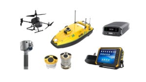
Cutting-Edge Acoustic Positioning & Subsea Imagery Solutions for Unmanned & Robotic Systems

RAD
RAD
USA (Office) HQ: UK

Uncrewed Vessel Control, Marine Autonomy Integration & Electric Propulsion Systems

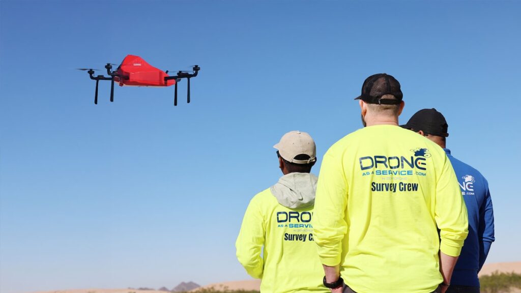
Drone as a Service (DaaS) by ZenaDrone
USA (HQ)

Drone as a Service (DaaS) | Professional Drone Services for Aerial Data Collection

AdaCore
AdaCore
USA (HQ)

Software Assurance & Certification Tools for Defense UAVs & Autonomous Systems

Kraken Robotics
Kraken Robotics
USA (Office) HQ: Canada

Innovative High-Resolution Subsea Imaging and Power Technologies for Commercial, Scientific & Military Underwater Survey Missions

Aurora Flight Sciences
USA (HQ)

Experimental Aircraft | Advanced Manufacturing | Autonomy | Flight Testing

SatLab Geosolutions
SatLab Geosolutions
USA (Office) HQ: Sweden

GNSS Positioning Systems, 3D SLAM & Mobile Mapping, Unmanned Surface Vehicles

Voyis
Voyis
USA (HQ)

AUV Payloads & ROV Skids: Underwater Laser Scanners & 4K Stills Cameras for Subsea Inspections & Surveys

The Tactien Group
The Tactien Group
USA (HQ)

Specialist Advisory & Consulting Services Focusing on UAS & Counter-UAS Advancement

Blue Nose Aerial Imaging
USA (HQ)

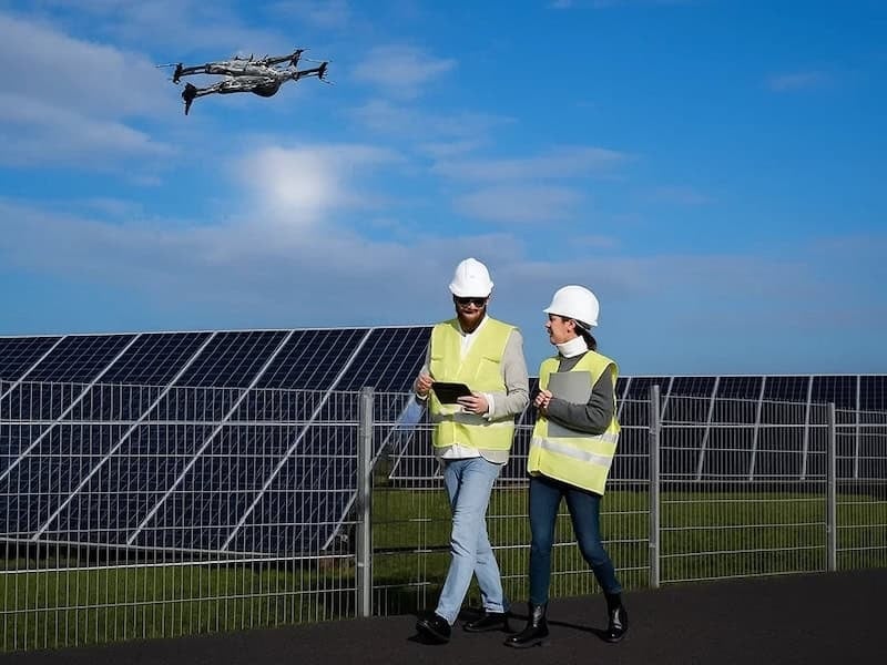
Drone Aerial Imaging Services for Solar Farms, Construction & Infrastructure Inspection In The United States

ResilienX
ResilienX
USA (HQ)

Safety Assurance Solutions for The Next Generation of BVLOS Drone & Autonomous Vehicle Operations

Cellen
Cellen
USA (HQ)

Long Endurance Hydrogen-Powered Drone Solutions for Commercial Applications

Ascend Engineering
Ascend Engineering
USA (HQ)

UAV Engineering Consultants - Autonomy Solutions & Systems Integration for Drones & Robotics

AlarisPro
AlarisPro
USA (HQ)

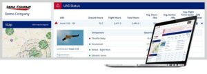
UAS Fleet Management Platform | Operations and Maintenance Documentation

Browse suppliers by country
Showcase your capabilities

If you design, build or supply Professional Services, create a profile to showcase your capabilities and connect with visitors who have an active requirement for your solutions.
Create Supplier Profile

Drone Services

14 Drone Service Offerings
Add your solutions
Land Surveying
Land Surveying

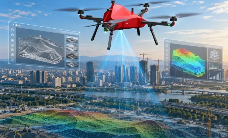
High-accuracy drone surveying services for property mapping & land development

High-accuracy drone surveying services for property mapping & land development
DaaS drone-based land surveying services are ideal for commercial, industrial and residential...
Construction Management

Track construction progress and document projects

Track construction progress and document projects
DaaS drone services allow engineers, architects, and construction personnel to gain a comprehensive...
Golf Course & Racecourse Management

Drone services for grounds management, events and marketing

Drone services for grounds management, events and marketing
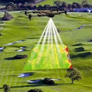
DaaS works with golf course and racecourse managers and groundkeepers to provide real-time insights ...
Precision Agriculture

Drone-based aerial analytics for optimized management and increased yields

Drone-based aerial analytics for optimized management and increased yields
DaaS drone services allow agricultural professionals to take advantage of cutting-edge technology...
Voyis Protect
Voyis Protect

Annual maintenance & calibration program for Discovery Stereo camera systems

Annual maintenance & calibration program for Discovery Stereo camera systems
...chnicians, the service aligns with factory standards, ensuring the system remains field-ready and...
Voyis Academy
Voyis Academy

Discovery Stereo training programs for underwater 3D modeling & inspection

Discovery Stereo training programs for underwater 3D modeling & inspection
Voyis Academy delivers a structured training pathway tailored for operators and integrators of the D...
UAV Software Engineering Services

UAV software development for autonomous mission systems

UAV software development for autonomous mission systems
...nfrastructure. Services are tailored for multirotor, fixed-wing, and unmanned helicopter platforms... ...ink and MAVSDK services, ROS1 and ROS2 integration, and Micro XRCE-DDS communications frameworks....
Drone Testing Services

UAV testing & simulation services for autonomous aircraft development

UAV testing & simulation services for autonomous aircraft development
Drone testing services from Ascend Engineering provide comprehensive validation and performance... ...o platform for UAV and environmental modeling. The company develops custom simulated worlds,...
ORION-X
ORION-X

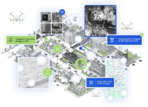
AI-enabled aerial intelligence service for connected urban and regional operations

AI-enabled aerial intelligence service for connected urban and regional operations
...le Drones as a Service (DaaS) platform tailored for smart-city and regional networks. The AI-enabled...
Drone Aerial Imaging Services for Construction

Progress monitoring, volumetric stockpile analysis & 3D site modelling

Progress monitoring, volumetric stockpile analysis & 3D site modelling
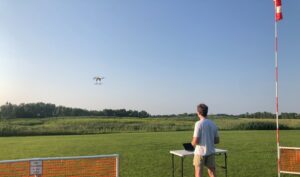
...Imaging offers drone services that support construction professionals with a wide range of critical...
Drone Aerial Imaging Services for Precision Agriculture

Improve productivity & yield with data on crop health, pests, nutrient distribution and stress

Improve productivity & yield with data on crop health, pests, nutrient distribution and stress
...Imaging offers drone services that utilize multispectral, RGB, and thermal sensors to capture...
Drone Aerial Imaging Services for Utilities & Infrastructure Inspection

Efficient aerial inspection of power lines, telecommunications, roads, railways and more

Efficient aerial inspection of power lines, telecommunications, roads, railways and more
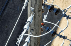
...rial Imaging's drone services provide a safer and more efficient alternative to traditional...
Drone Aerial Imaging Services for Solar Inspection

Visible & thermal imaging for detection of defects, hotspots & shading loss

Visible & thermal imaging for detection of defects, hotspots & shading loss
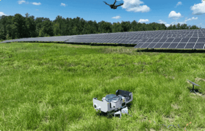
...Imaging offers drone inspection services for rooftop panels as well as large-scale solar farms,...
Hydrogen Refueling Services

Hydrogen refueling for drone operations

Hydrogen refueling for drone operations
...systems enable UAV operators to establish independent fueling infrastructure in field-deployed or... ...rogen delivery services, including off-site refueling, storage, and supply chain management. This...

Related Articles

ZenaTech Secures Solar Utility & Campus Contracts With Drone & AI Surveying

Combining drone data capture and AI processing, ZenaTech has won new solar construction surveying contracts across U.S. utility grids and school campuses while outperforming traditional static LiDAR workflows on speed

Nov 17, 2026
ZenaTech Introduces AI-Powered LiDAR Processing for Drone as a Service Land Surveying

Proprietary AI software is being developed to automate drone LiDAR point cloud classification and feature extraction, with planned integration across ZenaTech's Drone as a Service operations

Nov 02, 2026
Commercial Drone Platform Expands Aerial Intelligence & Inspection Services

As industrial labor shortages mount, Drone as a Service, a subsidiary of ZenaTech, has opened an Arizona operational base to deliver turnkey surveying, robotic inspections, and advanced analytics for regional infrastructure and agriculture

Oct 27, 2026
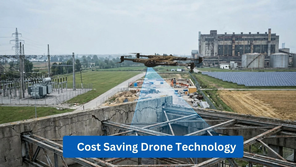
How Drone Technology Can Reduce Operational Costs Across Industries

ZenaDrone examines how cost-saving drone technology can reduce labor, equipment and inspection costs while improving operational efficiency across multiple industries

Oct 16, 2026
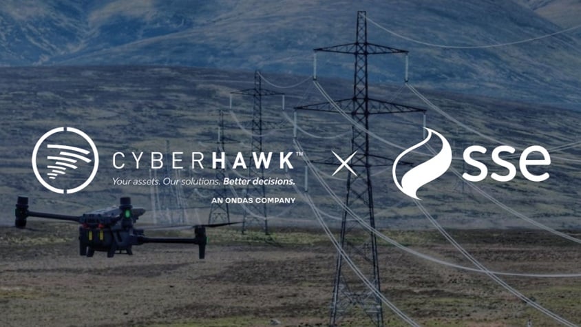
Multi-Year Agreement Expands Drone Inspection Services to Offshore Wind

Ondas' subsidiary Cyberhawk has secured a multi-year agreement covering drone inspections across SSE's electricity networks, offshore wind turbine inspections, and continued iHawk support

Oct 09, 2026
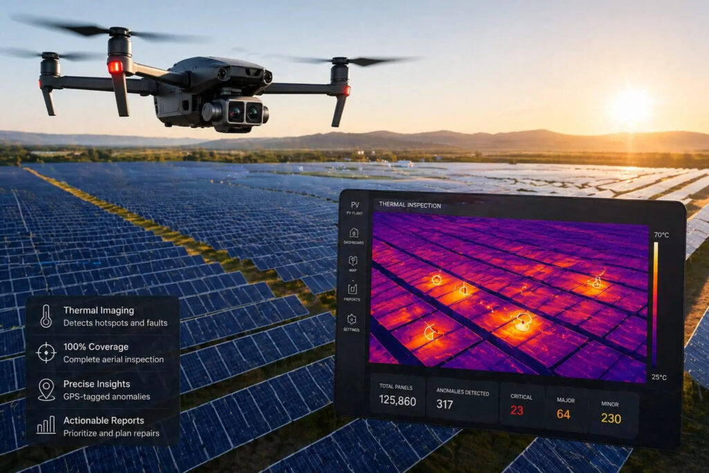
Thermal Drone Technology for Large Scale Solar PV Inspections

Blue Nose Aerial uses thermal drone technology to deliver faster, safer and more comprehensive solar PV inspections, helping operators detect faults and optimize asset performance

Sep 07, 2026
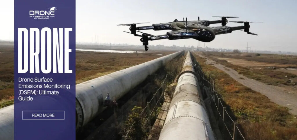
Drone as a Service Highlights the Benefits of Drone Surface Emissions Monitoring

Drone as a Service (DaaS) by ZenaDrone explores how automated drone based emissions monitoring improves environmental compliance through advanced sensors, AI powered analytics, real time leak detection, and autonomous inspection workflows

Jul 24, 2026
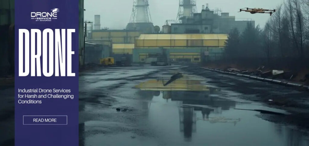
Drones Redefine Heavy Industry Operations & Data Collection in Extreme Environments

Explore how the Drone as a Service (DaaS) model by ZenaDrone drives automated asset management and enhanced safety across high-risk sectors

Jun 24, 2026
When Professional Drone 3D Scanning Services Are Required

Drone as a Service by ZenaDrone examines when professional drone 3D scanning services are required, covering accuracy validation, survey workflows, project risk, and applications requiring verified spatial data

Jun 09, 2026

THE WEEKLY eBRIEF

The latest unmanned systems news, straight to your inbox.

Get our weekly roundup of technology developments, new products and industry news.

By subscribing, you agree to receive the weekly UST eBrief newsletter from EchoBlue Ltd. Unsubscribe at any time using the link in every email. See our Privacy Notice.

Advancing Unmanned Systems Through Strategic Collaboration UST works with major OEMs to foster collaboration and increase engagement with SMEs, to accelerate innovation and drive unmanned systems capabilities forward.