WOLF Advanced Technology
HP MJF for Unmanned Systems
Leading Suppliers in Singapore

Professional Services Suppliers in Singapore

Category Presented by Blue Nose Aerial Imaging
Inspection, imaging and operational services, testing, development

Discover Singapore-based suppliers of Professional Services

Professional Drone Service Providers

3 Leading Suppliers
Filtered by:
Exail
Exail
Singapore (Office) HQ: France

Cutting-Edge Acoustic Positioning & Subsea Imagery Solutions for Unmanned & Robotic Systems

SatLab Geosolutions
SatLab Geosolutions
Singapore (Office) HQ: Sweden

GNSS Positioning Systems, 3D SLAM & Mobile Mapping, Unmanned Surface Vehicles

BeeX
BeeX
Singapore (HQ)

Autonomous Underwater Vehicles for Inspection, Survey & Subsea Intelligence

Browse suppliers by country
Showcase your capabilities

If you design, build or supply Professional Services, create a profile to showcase your capabilities and connect with visitors who have an active requirement for your solutions.

Create Supplier Profile

Related Articles

ZenaTech Secures Solar Utility & Campus Contracts With Drone & AI Surveying

Combining drone data capture and AI processing, ZenaTech has won new solar construction surveying contracts across U.S. utility grids and school campuses while outperforming traditional static LiDAR workflows on speed

Nov 17, 2026
ZenaTech Introduces AI-Powered LiDAR Processing for Drone as a Service Land Surveying

Proprietary AI software is being developed to automate drone LiDAR point cloud classification and feature extraction, with planned integration across ZenaTech's Drone as a Service operations

Nov 02, 2026
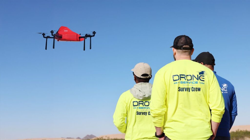
Commercial Drone Platform Expands Aerial Intelligence & Inspection Services

As industrial labor shortages mount, Drone as a Service, a subsidiary of ZenaTech, has opened an Arizona operational base to deliver turnkey surveying, robotic inspections, and advanced analytics for regional infrastructure and agriculture

Oct 27, 2026
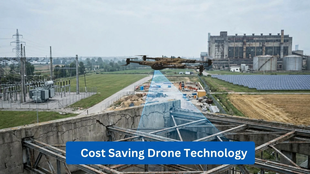
How Drone Technology Can Reduce Operational Costs Across Industries

ZenaDrone examines how cost-saving drone technology can reduce labor, equipment and inspection costs while improving operational efficiency across multiple industries

Oct 16, 2026
Multi-Year Agreement Expands Drone Inspection Services to Offshore Wind

Ondas' subsidiary Cyberhawk has secured a multi-year agreement covering drone inspections across SSE's electricity networks, offshore wind turbine inspections, and continued iHawk support

Oct 09, 2026
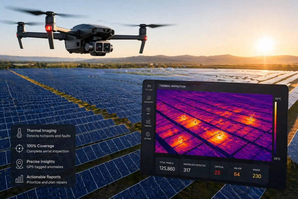
Thermal Drone Technology for Large Scale Solar PV Inspections

Blue Nose Aerial uses thermal drone technology to deliver faster, safer and more comprehensive solar PV inspections, helping operators detect faults and optimize asset performance

Sep 07, 2026
Drone as a Service Highlights the Benefits of Drone Surface Emissions Monitoring

Drone as a Service (DaaS) by ZenaDrone explores how automated drone based emissions monitoring improves environmental compliance through advanced sensors, AI powered analytics, real time leak detection, and autonomous inspection workflows

Jul 24, 2026
Drones Redefine Heavy Industry Operations & Data Collection in Extreme Environments

Explore how the Drone as a Service (DaaS) model by ZenaDrone drives automated asset management and enhanced safety across high-risk sectors

Jun 24, 2026
When Professional Drone 3D Scanning Services Are Required

Drone as a Service by ZenaDrone examines when professional drone 3D scanning services are required, covering accuracy validation, survey workflows, project risk, and applications requiring verified spatial data

Jun 09, 2026

THE WEEKLY eBRIEF

The latest unmanned systems news, straight to your inbox.

Get our weekly roundup of technology developments, new products and industry news.

By subscribing, you agree to receive the weekly UST eBrief newsletter from EchoBlue Ltd. Unsubscribe at any time using the link in every email. See our Privacy Notice.

Advancing Unmanned Systems Through Strategic Collaboration UST works with major OEMs to foster collaboration and increase engagement with SMEs, to accelerate innovation and drive unmanned systems capabilities forward.