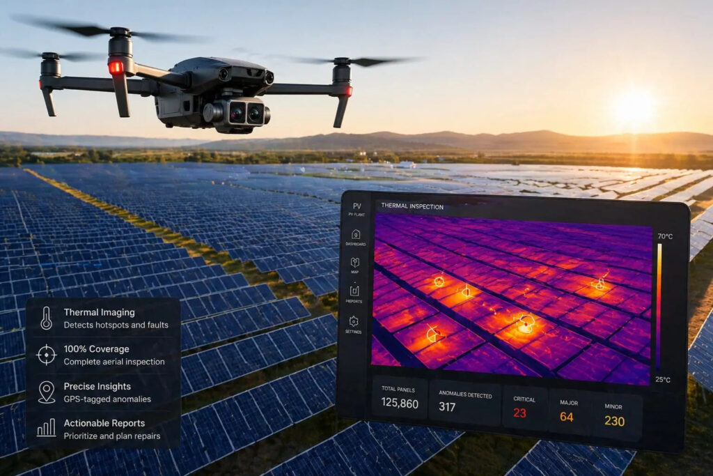
Blue Nose Aerial is demonstrating how thermal drone inspections can transform the way operators monitor large-scale solar PV installations, replacing slow and incomplete ground surveys with comprehensive aerial data.
Utility-scale solar farms can contain tens of thousands of panels across hundreds of acres, making manual inspections time-consuming, costly and potentially hazardous. Technicians using handheld thermal cameras or IV-curve tracers may also struggle to inspect every module, increasing the risk of faults going undetected.
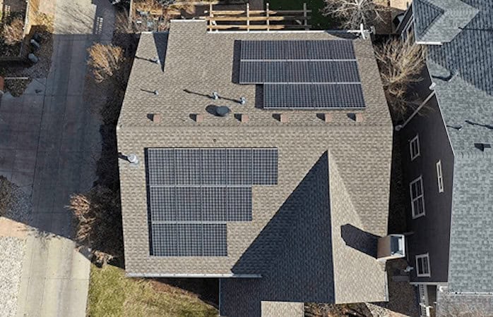
Thermal inspection drones offer a scalable alternative, combining radiometric thermal sensors with high-resolution RGB cameras to survey entire arrays using pre-programmed flight paths. Thermal imagery can highlight hotspots caused by cracked cells, faulty connections, bypass-diode failures, PID and other defects, while visual data provides additional context on physical damage, soiling and shading.
The article examines how drone-based inspections can deliver faster surveys, comprehensive GPS-tagged datasets and improved safety while supporting more targeted, predictive maintenance. It also considers the practical challenges, including weather conditions, sunlight requirements, regulatory compliance and the specialist expertise needed to operate thermal inspection systems.
Blue Nose Aerial’s workflow extends beyond data collection, using cloud-based analysis to create geo-referenced maps, 3D models and digital twins that help asset managers identify anomalies and prioritize repairs. As solar farms continue to expand, these capabilities could become increasingly important for maintaining energy yield, reducing downtime and controlling long-term O&M costs.
Read Thermal Drone Inspections for Solar PV: Identifying Faults at Scale.