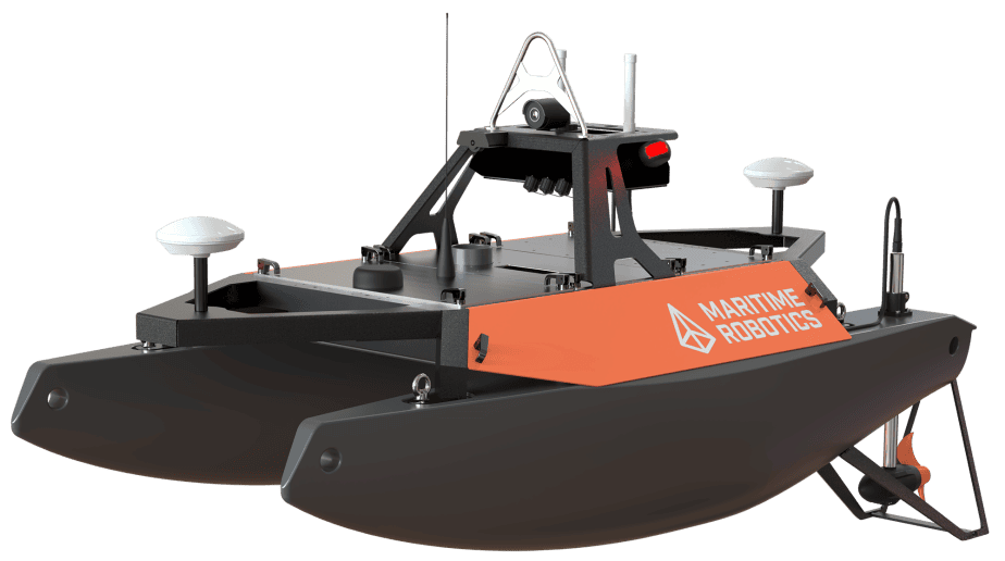
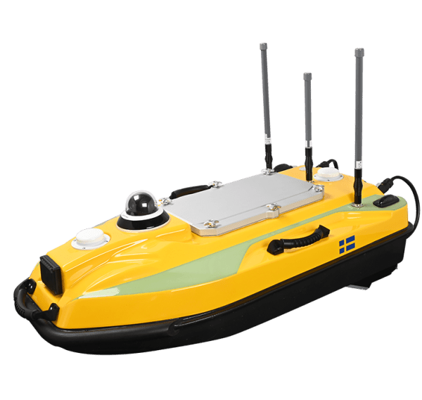
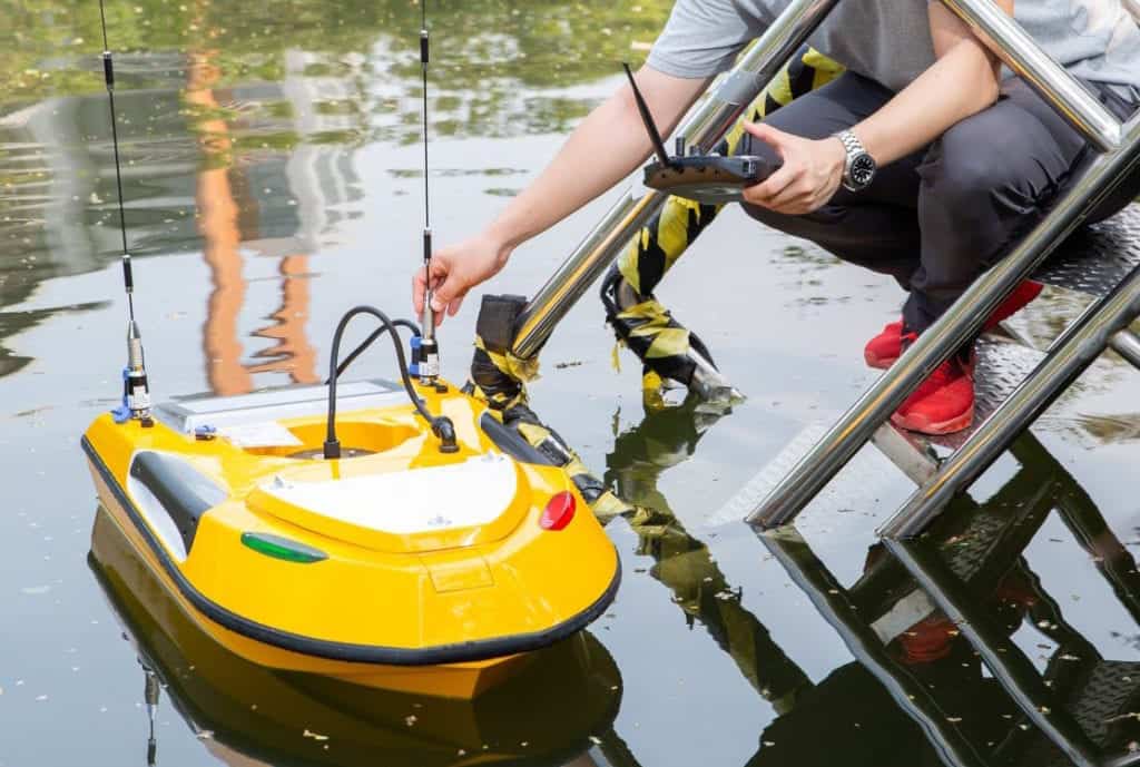
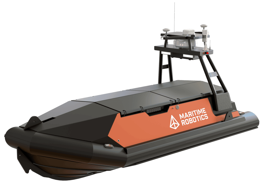
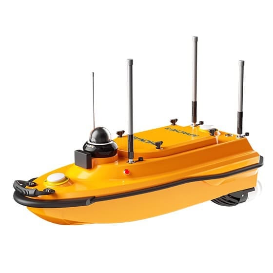
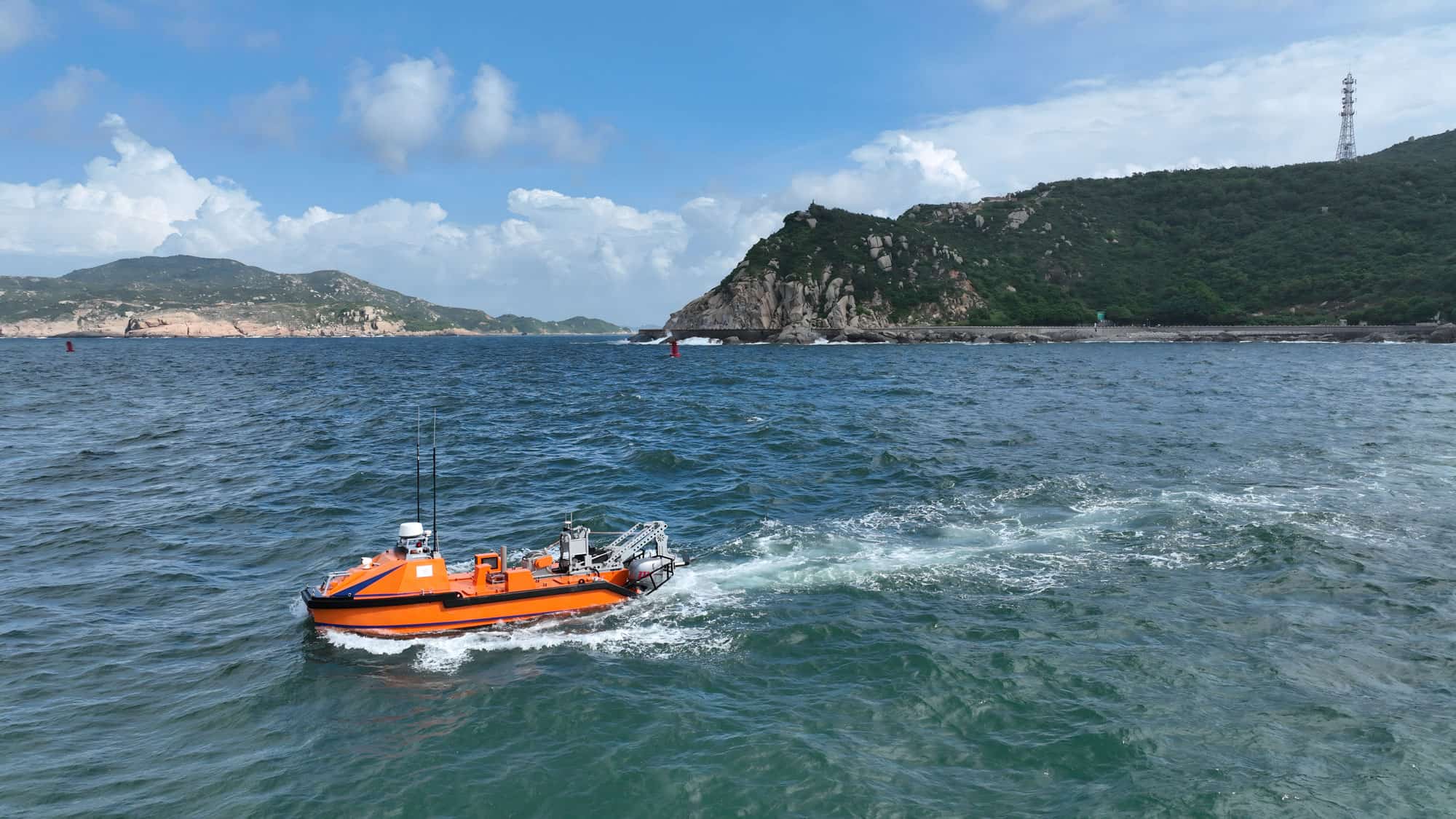
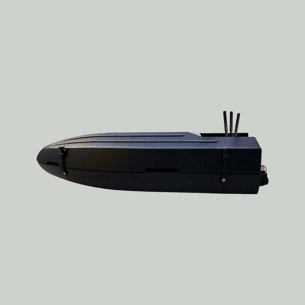
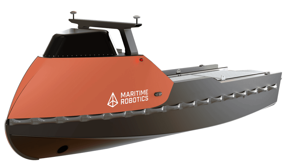
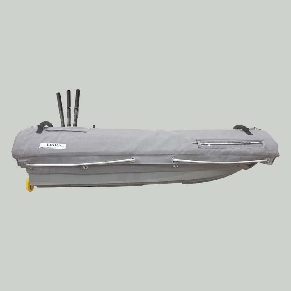
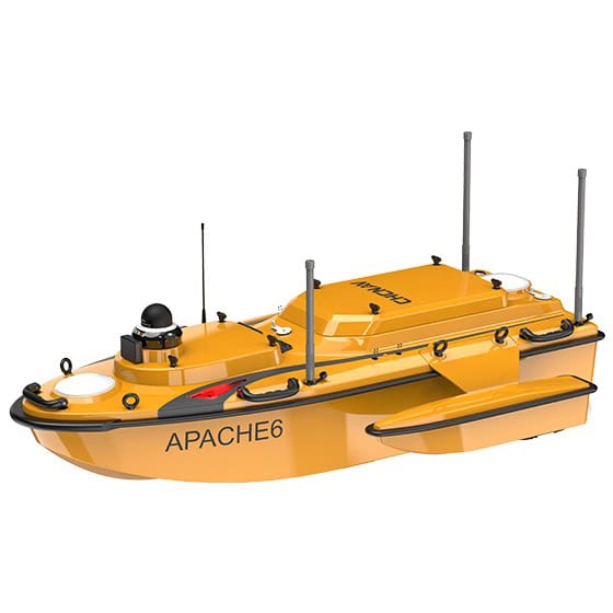
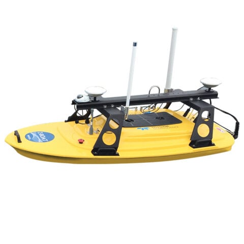
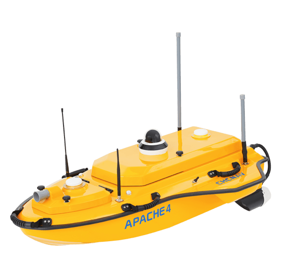
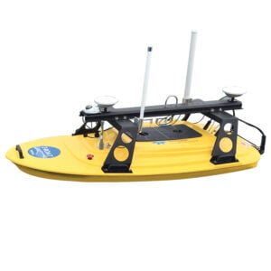
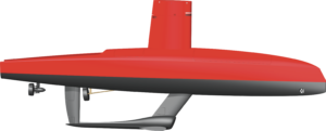
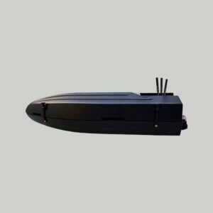
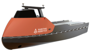
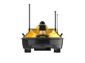
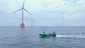
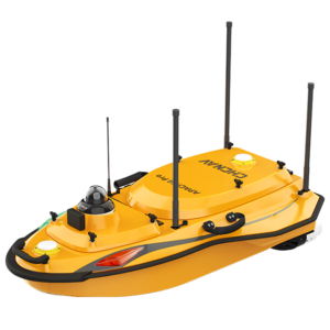
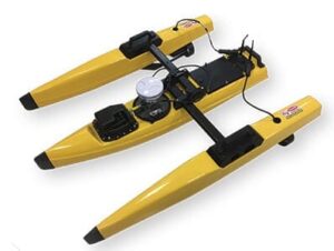
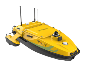
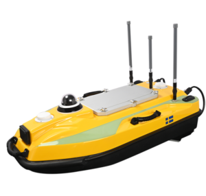
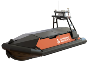
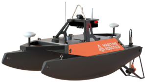
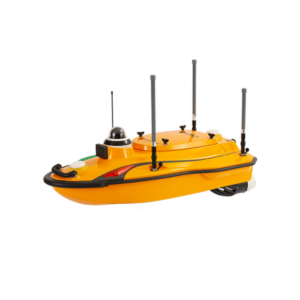
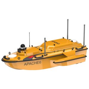
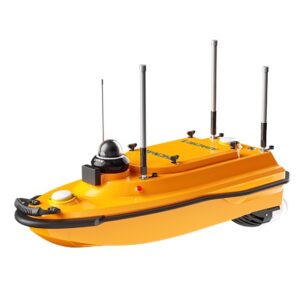
Bathymetric mapping USVs are autonomous or remotely operated unmanned vessels designed to measure water depth and collect georeferenced seabed data for hydrographic surveying and underwater terrain mapping. Equipped with single-beam or multibeam echo sounders, GNSS positioning, and motion sensors, these platforms support high-resolution seafloor mapping, seabed feature detection, and repeat surveys.
This page features suppliers of bathymetric mapping USVs for coastal and offshore surveys, inland waterway mapping, dredging assessments, and marine infrastructure inspection.
If you design, build or supply Bathymetric Mapping USVs, create a profile to showcase your capabilities and connect with visitors who have an active requirement for your solutions.
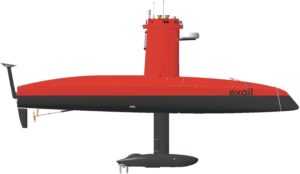
...face Vehicles (USVs) from Exail designed to deliver high-performance survey and scientific... ...ipliers, these USVs enhance operational efficiency while reducing crew requirements, logistics...
Autonomous USV platform for offshore hydrographic & geophysical surveying
Autonomous USV platform for offshore hydrographic & geophysical surveying
...long-endurance USV is a next-generation offshore survey platform designed for hydrographic surveys,... ...a’s in-house USV control system provides autonomous navigation, real-time situational awareness,...
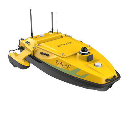
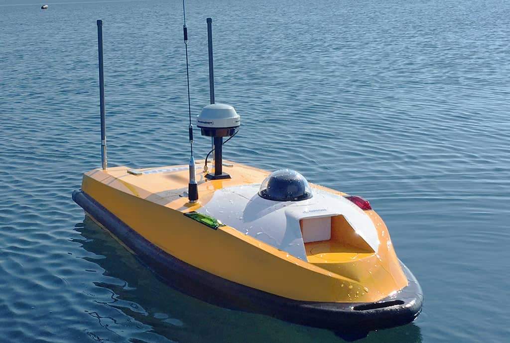
Multi-purpose surveying USV platform for nearshore & offshore operations
Multi-purpose surveying USV platform for nearshore & offshore operations
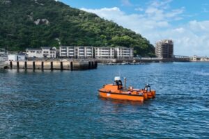
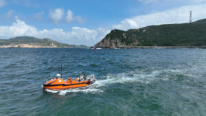
...multi-function USV is designed to carry a wide range of equipment for bathymetry, seabed mapping,... ...ymetry, seabed mapping, and geological hazard inspection....
Bathymetric mapping Unmanned Surface Vehicles (USVs) are autonomous or remotely operated vessels designed to measure water depth and map underwater terrain. Equipped with acoustic sonar systems, positioning equipment, and navigation sensors, these platforms collect georeferenced bathymetric data for hydrographic mapping, seafloor characterization, and underwater feature detection across coastal, inland, and offshore environments.
Bathymetric mapping USVs provide an alternative to crewed survey vessels, particularly in shallow, confined, or difficult-to-access waters. Available configurations range from compact seabed mapping USVs to larger autonomous survey platforms equipped with multibeam sonar and capable of extended operating endurance.
Core Capabilities of Bathymetric Mapping USVs
Water Depth Measurement
Unmanned bathymetric mapping vessels use acoustic echo sounding to determine the distance between a sonar transducer and the seabed. Acoustic travel-time measurements are converted into depth information using sound velocity data, with corrections for transducer position, vessel motion, and water levels. Single-beam systems measure depth beneath the transducer, while multibeam configurations acquire multiple soundings across a wider section of the seabed.
Seafloor Mapping and Bathymetric Data Acquisition
Seafloor mapping USVs collect depth measurements along planned survey routes to build spatial datasets of underwater topography. Integrated GNSS receivers, inertial navigation equipment, and motion sensors establish the position and orientation of the sonar, allowing individual soundings to be georeferenced. The acquired data can then be processed into bathymetric grids, digital terrain models, and depth contour maps for hydrographic surveying, marine engineering, and environmental investigations.
High-Resolution Underwater Terrain Mapping
High-resolution bathymetric mapping requires sufficient sounding density, accurate positioning, and sonar systems capable of resolving relatively small seabed features. Multibeam-equipped USVs can acquire dense depth measurements across overlapping survey swaths, enabling detailed mapping of underwater slopes, channels, depressions, and complex terrain. Achievable resolution depends on water depth, acoustic frequency, beam geometry, survey speed, positioning uncertainty, and data processing methods.
Autonomous Survey Line Execution
Autonomous bathymetric mapping platforms follow predefined waypoints and survey lines using onboard navigation and vessel control systems. Automated line following helps maintain consistent track spacing, survey speed, and sonar coverage while reducing the need for continuous manual steering. More advanced configurations incorporate obstacle detection, collision avoidance, and route adjustment capabilities, allowing operators to supervise complex mapping missions remotely.
Seabed Feature Detection and Identification
Bathymetric sonar can reveal changes in seabed elevation associated with underwater structures, exposed objects, rock formations, and other features. High-density multibeam measurements support the detection and dimensional assessment of objects and formations that protrude above the surrounding seabed. Where further characterization is required, side-scan sonar provides complementary acoustic imagery that can help operators distinguish potential objects from natural seabed formations.
Repeat Surveys and Seabed Change Detection
Autonomous seabed mapping vessels can repeat established survey routes to monitor changes in underwater terrain over time. Comparing successive bathymetric datasets allows operators to identify sediment accumulation, erosion, channel migration, and changes around marine infrastructure. Consistent survey positioning, vertical datums, sensor calibration, and data processing are essential for distinguishing genuine seabed changes from measurement uncertainty.
Bathymetric Survey Equipment & Sonar Payloads
Bathymetric mapping USVs accommodate a range of acoustic instruments and supporting sensors, with payload selection determined by survey depth, required seabed coverage, resolution, and the type of underwater information being collected.
Single-Beam Echo Sounders (SBES): Measure water depth directly beneath the transducer, supporting channel profiling, inland waterway mapping, reservoir surveys, and applications where continuous swath coverage is unnecessary.
Multibeam Echo Sounders (MBES): Use multiple acoustic beams to acquire wide-swath bathymetric measurements, supporting detailed seafloor mapping, high-density sounding acquisition, and hydrographic surveys requiring extensive seabed coverage.
Interferometric and Phase-Measuring Bathymetric Sonar: Use acoustic phase differences to estimate the direction of returning seabed echoes and calculate depth across a swath. These systems support shallow-water mapping and wide-area bathymetric acquisition.
Side-Scan Sonar: Produces acoustic imagery of the seabed to reveal underwater objects, sediment patterns, and surface features. It complements bathymetric measurements, although conventional side-scan systems do not independently provide accurate georeferenced water depths.
Sub-Bottom Profilers: Transmit lower-frequency acoustic signals that penetrate the seabed to investigate shallow sediment layers, buried features, and subsurface geological structures alongside surface bathymetric mapping.
Sound Velocity Profilers (SVPs): Measure variations in sound speed throughout the water column, providing essential information for correcting acoustic beam refraction and improving the positioning of bathymetric soundings.
These instruments may be integrated with GNSS receivers, inertial navigation systems, and Motion Reference Units (MRUs) to determine sonar position and orientation and compensate for vessel movement. Payload compatibility also depends on the vessel’s mounting arrangements, available power, and onboard data acquisition interfaces.
Hydrographic Survey Standards & Requirements
Bathymetric mapping USVs used for professional hydrographic surveys must support the accuracy, coverage, and data quality requirements of the intended project. Several international standards and industry guidelines inform survey planning, equipment configuration, and validation procedures.
IHO S-44: Establishes requirements for hydrographic survey accuracy, including horizontal and vertical uncertainty, bathymetric coverage, and feature detection. Applicable survey classifications depend on the intended use of the data.
ISO 25451: Specifies technical requirements and guidelines for seafloor mapping using unmanned marine vehicles, including USVs. It addresses navigation and positioning, vehicle preparation, survey parameter configuration, single-beam and multibeam echo sounding, and data processing.
IHO S-100 and S-102: S-100 provides a standardized framework for marine geospatial information, while S-102 defines bathymetric surface data products containing gridded depth information and associated uncertainty estimates.
IMCA Offshore Survey Guidance: Provides guidance on multibeam echo sounder operations for offshore surveys, covering sensor installation, calibration, survey planning, data processing, and accuracy considerations.
Meeting the relevant survey specifications depends on the complete measurement system and survey methodology, including positioning, motion compensation, sound velocity corrections, calibration, vertical datum corrections, and quality control.
Emerging Developments in Bathymetric Mapping USVs
Advances in autonomous navigation, acoustic sensing, and onboard processing are expanding the capabilities of bathymetric mapping vessels. Key development areas include greater survey automation, more compact sonar integration, and improved coordination between unmanned platforms.
AI-Assisted Survey Planning: AI and automated data analysis techniques are being explored to identify gaps in bathymetric coverage, anomalous soundings, and areas requiring additional measurements. Adaptive planning methods can use these findings to refine subsequent survey lines and improve seabed coverage.
Cooperative Multi-USV Surveys: Coordinated bathymetric mapping USVs can divide survey areas between multiple vessels, potentially increasing the area covered during a mission. Developments in shared mission planning, communication, and coordinated navigation aim to improve survey efficiency and reduce unnecessary overlap.
Improved Compact Multibeam Systems: Advances in sonar electronics, transducer design, and integrated navigation equipment are enabling smaller multibeam payloads for portable survey vessels. Reduced size, weight, and power requirements make high-density bathymetric acquisition more accessible to compact USV platforms.
Integrated Multi-Sensor Mapping: Combining bathymetric sonar with side-scan imagery, marine LiDAR, and optical sensors enables complementary mapping of underwater terrain and above-water coastal features. Common positioning and synchronization systems allow these datasets to support integrated marine and coastal models.
These developments are supporting more efficient autonomous bathymetric surveys while expanding the range of mapping tasks that compact and long-endurance USVs can undertake.
The latest unmanned systems news, straight to your inbox.
Get our weekly roundup of technology developments, new products and industry news.
THANK YOU FOR SIGNING UP
Thanks for joining us. Check your inbox.
We've sent you an email. Click the confirmation link to complete your subscription to the weekly eBrief. In the meantime, explore the latest news, suppliers and technologies on UST.
Advancing Unmanned Systems Through Strategic Collaboration
UST works with major OEMs to foster collaboration and increase engagement with SMEs, to accelerate innovation and drive unmanned systems capabilities forward.