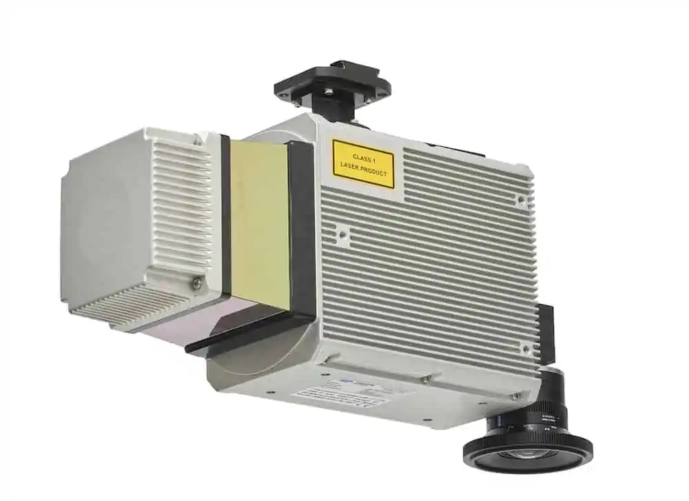
The CLS-A is a survey-grade integrated LiDAR and camera solution for high-precision and high-accuracy surveying and inspection applications. Featuring a tightly-integrated kinematic IMU, the payload provides a 360-degree field of view and captures the highest quality point clouds for topography, 3D modelling and GIS asset collection. The calibrated non-mechanical global shutter camera accurately colorizes LiDAR data and also aids in software analysis.
The payload can capture wide swaths for increased surveying productivity, as well as vertical surfaces for 3D modelling applications. It can be operated from 120m AGL and still acquire details from the floors of pit mines and valleys.
The laser scanner’s narrow beam divergence, long range, wide scan angle, and multiple returns allow the collection of ground returns even through dense vegetation.
The CLS-A is easily integrated onto a wide variety of drone platforms, requiring only power, an isolated mechanical mount, and a separate GNSS antenna. Data can be efficiently processed through the proven workflow of LMS Profession and Applanix Pospac.
| Dimensions (LxWxH) | 310 x 160 x 116 mm |
| Weight | < 4.4 kg < 3.9 kg without camera |
| Range Performance | 610m (50 kHz) to 195m (500 kHz) at 10% target reflectivity |
| Pulse Repetition Frequency | 50/200/500 kHz |
| Beam Divergence | 0.3 mrad |
| Wavelength | 1550 nm |
| Range Accuracy (1 sigma) | 10/5/5 mm (50/200/500 kHz) |
| Scan Angle (FOV) | 360° |
| Lines Per Second | 50-250 |
| Camera Resolution | 5320 x 4600 |


