VectorNav Technologies has expanded support for Low Earth Orbit satellite signals as an aiding source for its Inertial Navigation Systems (INS) to enhance alternative positioning, navigation, and timing capabilities.
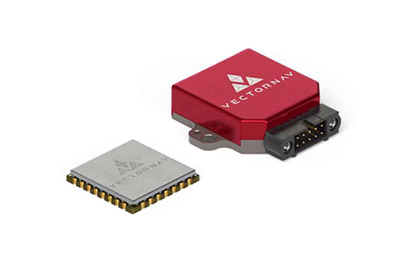
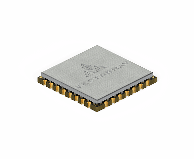
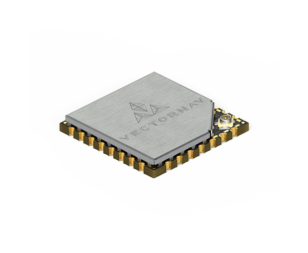
Developed in collaboration with NAL Technologies, the capability is initially available as a development kit centered on the VN-210E GNSS-Aided INS, with broader support accessible across the full-size Tactical Series upon request. This integration allows users to input Iridium Satellite Time & Location (STL) signals directly into VectorNav’s architecture alongside traditional inertial and GNSS data.
During testing in GNSS-denied conditions, the satellite-aided navigation demonstrated a positioning performance within approximately 50 meters Circular Error Probable while maintaining continuous outputs for inertial position, velocity, and attitude. This resilience is driven by the architectural differences between satellite networks; while traditional GNSS constellations operate in Medium Earth Orbit at roughly 20,000 kilometers altitude, the Iridium network utilizes a cross-linked constellation of 66 active satellites in Low Earth Orbit at approximately 780 kilometers. This significantly lower orbital altitude delivers signals up to 1,000 times stronger than GPS at the Earth’s surface, improving resistance to jamming, attenuation, and environmental obstructions.
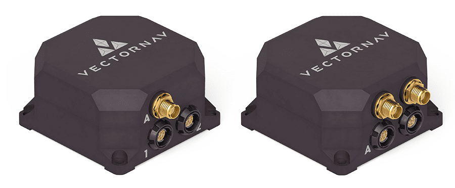
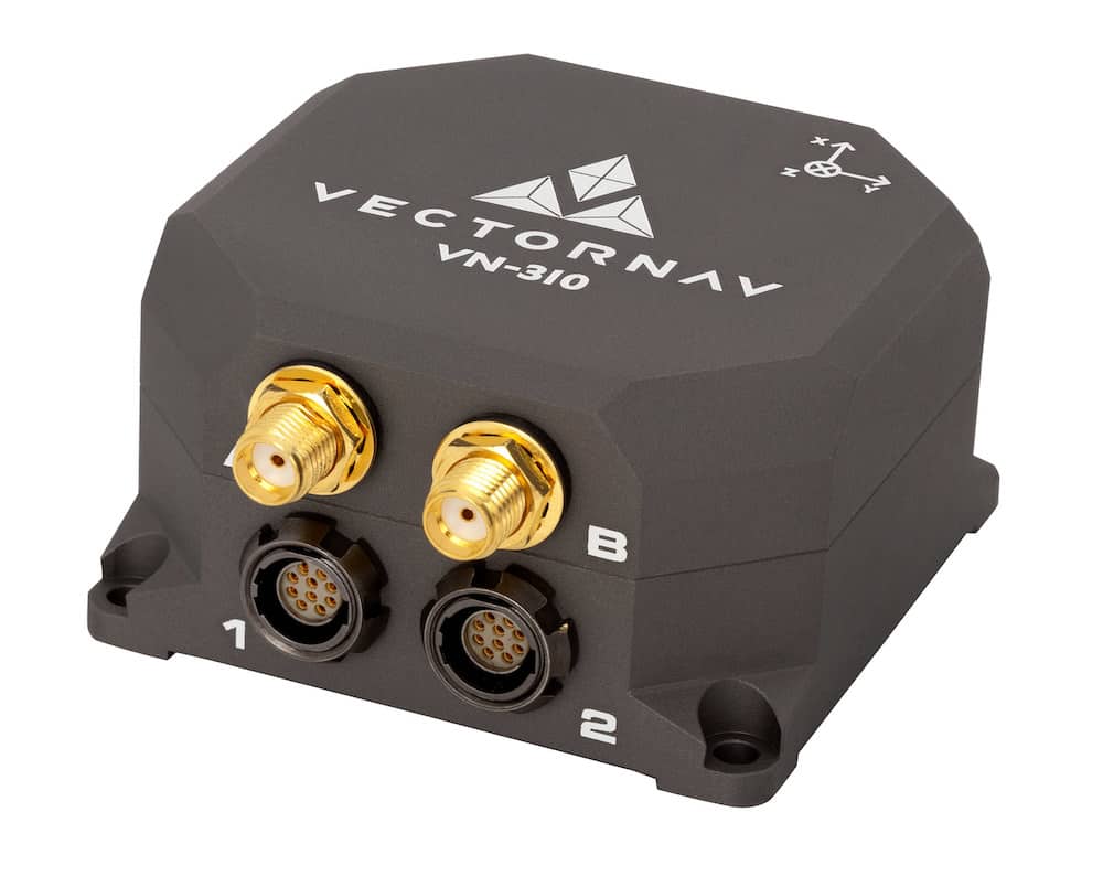
The VN-210E system features four independent serial interfaces and a tightly-coupled extended Kalman filter, which enables the incorporation of Low Earth Orbit measurements alongside GNSS, M-Code, vision-based navigation, and other assured positioning, navigation, and timing technologies. The corresponding development kit packages the VN-210E embedded system with NAL Technologies’ ALTM Micro-D Receiver, a one-year Iridium development license, reference integration guidance, software tools, and customer support. Program-specific integrations can also extend this capability to the wider Tactical Series, including the VN-210, VN-310, and VN-310E Dual Antenna GNSS/INS products.
Future iterations of the technology will focus on deeper hardware integration, reduced SWaP-C, and streamlined deployment for production programs.
Andrew Greer, Senior Director of Business Development, commented, “Inertial remains the foundation. LEO signals add another layer of resilience. By fusing multiple independent sources, we maintain a stable navigation solution when any single input is degraded or denied.”